 Block
Block
West Independence, Ohio
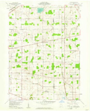
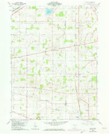
11 topographic sheets cover this place, the earliest surveyed in 1901 and the latest in 1986. It stands in Biglick Township. It lies in ZIP code area 44830. The Survey maps it on the Alvada quadrangle.
Then and now
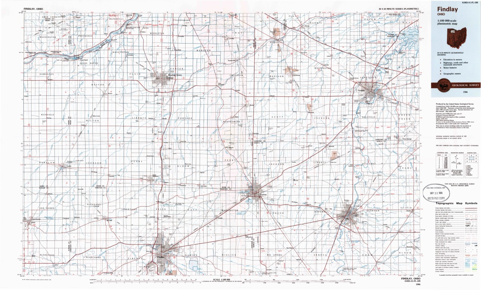
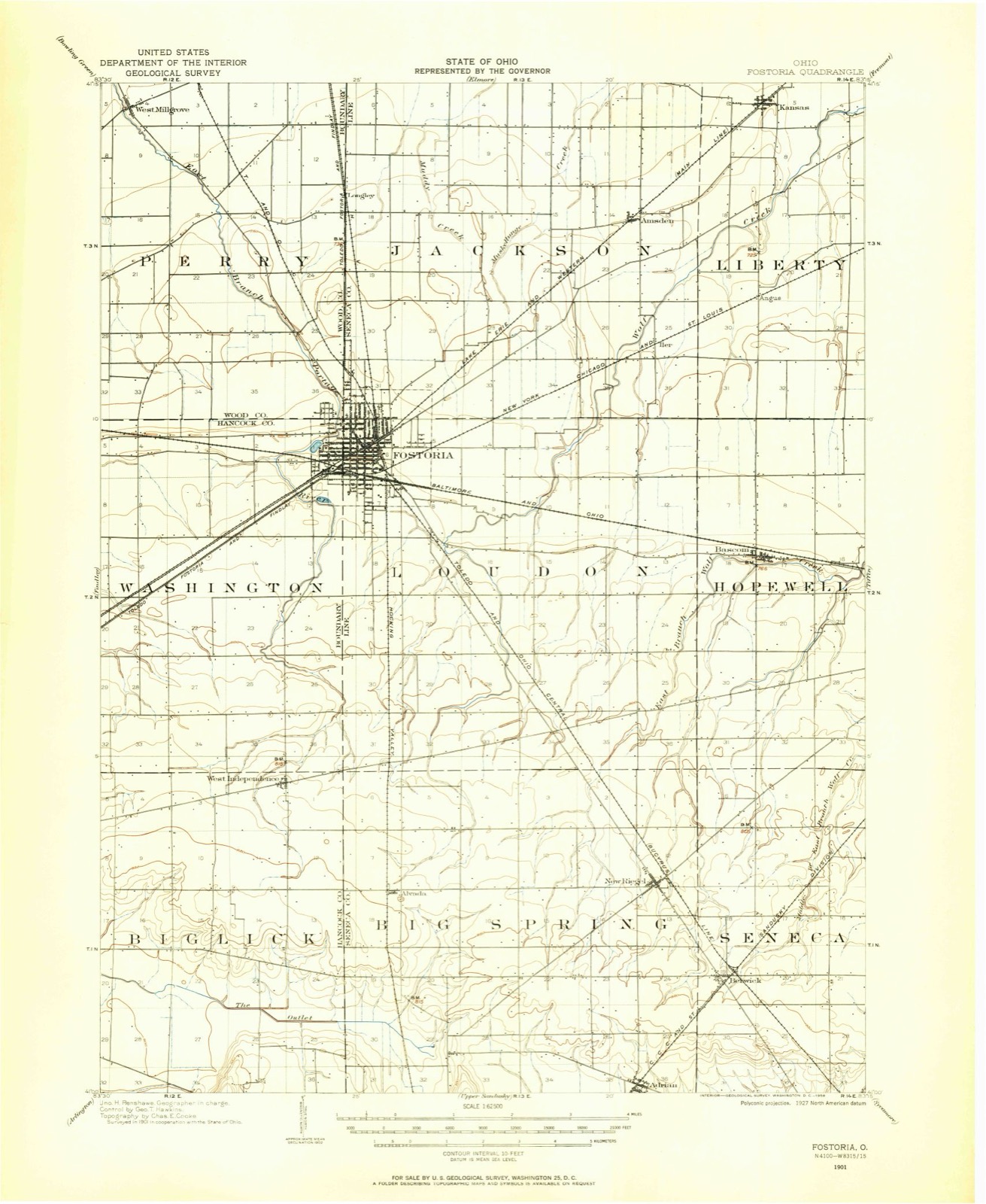
1901 to 1986The same ground, surveyed 85 years apart. Drag the handle to wipe between them. Both sheets are United States Geological Survey originals; neither has been altered.
Compare 1901 against another survey:
Topographic sheets covering this place
11 sheetsMatched by testing this settlement's coordinate against the published boundary of every sheet in the United States Geological Survey's historical collection. Each opens the scanned sheet at the Survey.
- 1901 USGS Fostoria quadrangle1:62500
- 1903 USGS Fostoria quadrangle1:62500
- 1956 USGS Toledo quadrangle1:250000
- 1956 USGS Toledo quadrangle1:250000
- 1956 USGS Toledo quadrangle1:250000
- 1956 USGS Toledo quadrangle1:250000
- 1960 USGS Alvada quadrangle1:24000
- 1960 USGS Alvada quadrangle1:24000
- 1961 USGS Toledo quadrangle1:250000
- 1986 USGS Findlay quadrangle1:100000
- 1986 USGS Findlay quadrangle1:100000





In the county-history sources
8,247 words on this townshipHistory of Hancock County, Ohio : Containing a History of the County, Its Townships, Towns ... Portraits of Early Settlers and Prominent Men, Biographies, History of the Northwest Territory, History of Ohio, Statistical and Miscellaneous Matter, Etc, published 1886 names this settlement in its chapter on Biglick Township. These are the passages that mention it, exactly as the scans read.
In December, 1849, George and Peter Wyant and Henry M. Grose laid out West Independence. It contained sixty lots on the east half of the northeast quarter of Section 2. A few lots were sold and some buildings erected, and, because of its location on the road from Findlay to Tiffin, the proprietors hoped that a prosperous village might spring up. In this, however, they were disappointed, as it has never made much progress, and yet remains a small country hamlet. The business of West Independence consists of two small grocery stores, a hotel, a shoe shop, a saw-mill, a blacksmith and wagon shop, and two physicians. The United Brethren and Evangelical denominations have each a church here, and it also contains a good schoolhouse. A neat little cemetery lies immediately west of the village. In 1856 a postoffice was established in West Independence, which has been successively filled by Frederick Roamer, J. L. Kenower, Jacob Ruth, John Peters, William Blinn, A. J. Maurer and J. W. Wynkoop. Big Lick Lodge No. 744, I. O. O. F., was organized in the village October 7, 1885, with the following charter members: J. G. Wiseman, J. W. Wynkoop, A. J. Maurer, J. W. Gibson, R. R. Wiseman, H. M. Wiseman, George Ruch, A. Gleckner, J. M. Green, William Green, S. S. Ward, Fremont Gibson, S. E. Crawford, N. C. Miller and A. J. Thomas. The society has fitted up a lodge-room, where they hold their meetings regularly.
Passage source: History of Hancock County, Ohio : Containing a History of the County, Its Townships, Towns ... Portraits of Early Settlers and Prominent Men, Biographies, History of the Northwest Territory, History of Ohio, Statistical and Miscellaneous Matter, Etc, published 1886.
Machine-read from a century-old scan, so expect the errors a machine makes: misspelled names, dropped words, stray characters.
Fires near this place
2 since 2002Regional context, not property-specific evidence. The federal wildfire occurrence database lists 2 fires within 5 miles of West Independence between 2002 and 2002, burning about 0 acres in total. None started naturally. None was recorded as arson. Distance is straight-line from the map coordinates, so a fire counted here may appear on a neighbouring settlement's page as well.
| Reported cause | Fires |
|---|---|
| Missing data/not specified/undetermined | 2 |
The most recent of them, most recent first, with the day each was reported and the service that recorded it.
| Date | Cause | Size | Reported by | Name on the report |
|---|---|---|---|---|
| 19 August 2002 | Missing data/not specified/undetermined | under an acre | Ohio State Fire Marshal's Office | not named |
| 13 July 2002 | Missing data/not specified/undetermined | under an acre | Ohio State Fire Marshal's Office | not named |
Settlements close enough to share some of these fires:
Specimens collected near this place
12 of 107 shownRegional context, not property-specific evidence. Museums hold 107 specimens collected within 10 miles of West Independence between 1893 and 1975: 107 Animalia. 12 distinct Species records are shown. Collected by CLARENCE CLARK, F R GEHLBACK, Hoke, B. & Norrocky, M. J. (Michael J.) and others. Each is a physical object with a catalogue number, and each entry opens the museum's record. This is what was collected and kept, not a survey of what lives here - nothing can be concluded from a species being absent.
| Image | Species | Year | Collected by | Where, as recorded |
|---|---|---|---|---|
 | Notropis boops Gilbert, 1884 | 1893 | PH Kirsch | Blanchard River (trib of Maumee River) 3 miles east of Findlay |
 | Etheostoma blennioides blennioides Rafinesque, 1819 | 1929 | Trautman, M. B. (Milton Bernard) | The Outlet of Springville Marsh, within Biglick township, near Vanlue, Biglick township |
 | Ictalurus natalis (Lesueur, 1819) | 1929 | Trautman, M. B. (Milton Bernard) | The Outlet of Springville Marsh, within Biglick township, near Vanlue, Biglick township |
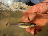 | Pimephales notatus (Rafinesque, 1820) | 1929 | Trautman, M. B. (Milton Bernard) | The Outlet of Springville Marsh, within Biglick township, near Vanlue, Biglick township |
 | Ambloplites rupestris (Rafinesque, 1817) | 1930 | Trautman, M. B. (Milton Bernard) & Foster, R. (Robert) | Blanchard River, within Wcentral Amanda township, near Mount Blanchard, Amanda township |
 | Etheostoma caeruleum Storer, 1845 | 1930 | Trautman, M. B. (Milton Bernard) & Foster, R. (Robert) | Blanchard River, within Wcentral Amanda township, near Mount Blanchard, Amanda township |
 | Hybopsis biguttatus (Kirtland, 1840) | 1930 | Trautman, M. B. (Milton Bernard) & Foster, R. (Robert) | Blanchard River, within Wcentral Amanda township, near Mount Blanchard, Amanda township |
 | Notropis rubellus (Agassiz, 1850) | 1930 | Trautman, M. B. (Milton Bernard) & Foster, R. (Robert) | Blanchard River, within Wcentral Amanda township, near Mount Blanchard, Amanda township |
| Phenacobius mirabilis (Girard, 1856) | 1930 | Trautman, M. B. (Milton Bernard) & Foster, R. (Robert) | Blanchard River, within Wcentral Amanda township, near Mount Blanchard, Amanda township | |
 | Catostomus commersonii (Lacepède, 1803) | 1939 | Trautman, M. B. (Milton Bernard) & Roszman, F. D. | Blanchard River, 3 mi east of Findlay, ~3.7 mi E of Findlay, Marion township |
 | Etheostoma flabellare Rafinesque, 1819 | 1939 | Trautman, M. B. (Milton Bernard) & Roszman, F. D. | Blanchard River, 3 mi east of Findlay, ~3.7 mi E of Findlay, Marion township |
 | Etheostoma nigrum Rafinesque, 1820 | 1939 | Trautman, M. B. (Milton Bernard) & Roszman, F. D. | Blanchard River, 3 mi east of Findlay, ~3.7 mi E of Findlay, Marion township |
All 107 specimens within 10 miles, at the Global Biodiversity Information Facility.
Storms near this place
2 since 2003Regional context, not property-specific evidence. The National Weather Service names West Independence in 2 storm reports between 2003 and 2024: 1 hail, 1 tornado. No death or injury is recorded in these reports. Each account below is quoted exactly as the forecast office filed it, from the NOAA Storm Events Database, and each date opens the federal record of that event.
| When | Event | Place named | Harm | What the report says |
|---|---|---|---|---|
| July 2003 | Hail | West Independence | $2,000 | Quarter size hail was observed near West Independence. |
| March 2024 | Tornado (EFU) | West Independence | - | Based on several social media photos and videos, eyewitness reports, and law enforcement reports, an intermittent tornado of unknown intensity began just southwest of the intersection of Township Roads 6, 7, 11, and 57 in far-eastern Hancock County, southwest of Alvada. The tornado tracked east-southeastward and entered Seneca County after crossing Township Road 11. Maximum width was estimated because no damage path was found. |
Nearest settlements
The eight closest, with where each one stands in the county. Distances are straight-line, computed from the Geographic Names Information System coordinates.
| Map | Place | Distance | Sheets |
|---|---|---|---|
| Arcadia | 4.6 miles | 12 | |
| Westgate Village Park | 5.0 miles | 11 | |
| Vanlue | 7.3 miles | 11 | |
| Wineland (historical) | 8.4 miles | 12 | |
| Chateau East | 9.0 miles | 12 | |
| Eastowne Estates | 9.1 miles | 12 | |
| Highland Estates | 10.2 miles | 13 | |
| Pratts | 11.2 miles | 13 |
Elsewhere
Matched on this settlement's Geographic Names Information System number rather than its name, so it cannot be a different place of the same name in another state.
| Wikipedia article on West Independence | An encyclopaedic summary. Its text is share-alike, so it is linked here rather than copied. |
| Wikidata item Q22703960 | The structured record the population and elevation above come from. Public domain (CC0). |
Provenance
This settlement is recorded in the Geographic Names Information System as feature 1061739. The sheet list is computed by point-in-boundary test against the United States Geological Survey's historical topographic inventory. Both are works of the United States government and carry no copyright under 17 U.S.C. 105.
Wildfire. Short, Karen C. 2022. Spatial wildfire occurrence data for the United States, 1992-2020 [FPA_FOD_20221014]. 6th Edition. Fort Collins, CO: Forest Service Research Data Archive. https://doi.org/10.2737/RDS-2013-0009.6 Collected with United States Government funding and usable without additional permissions or fees.
Specimens. Global Biodiversity Information Facility (GBIF), https://www.gbif.org/. Only records licensed CC0 or CC BY are used. Records licensed CC BY-NC are excluded because this site carries advertising. Images are checked individually and any whose licence is non-commercial, no-derivatives or unreadable is refused.
Storms. NOAA National Centers for Environmental Information, Storm Events Database https://www.ncei.noaa.gov/stormevents/ A work of the United States government, no copyright under 17 U.S.C. 105. Narratives are quoted verbatim from the National Weather Service report and are not edited or summarised.