 Block
Block
Wacker Heights, Ohio
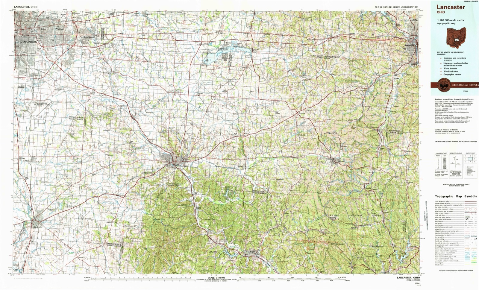
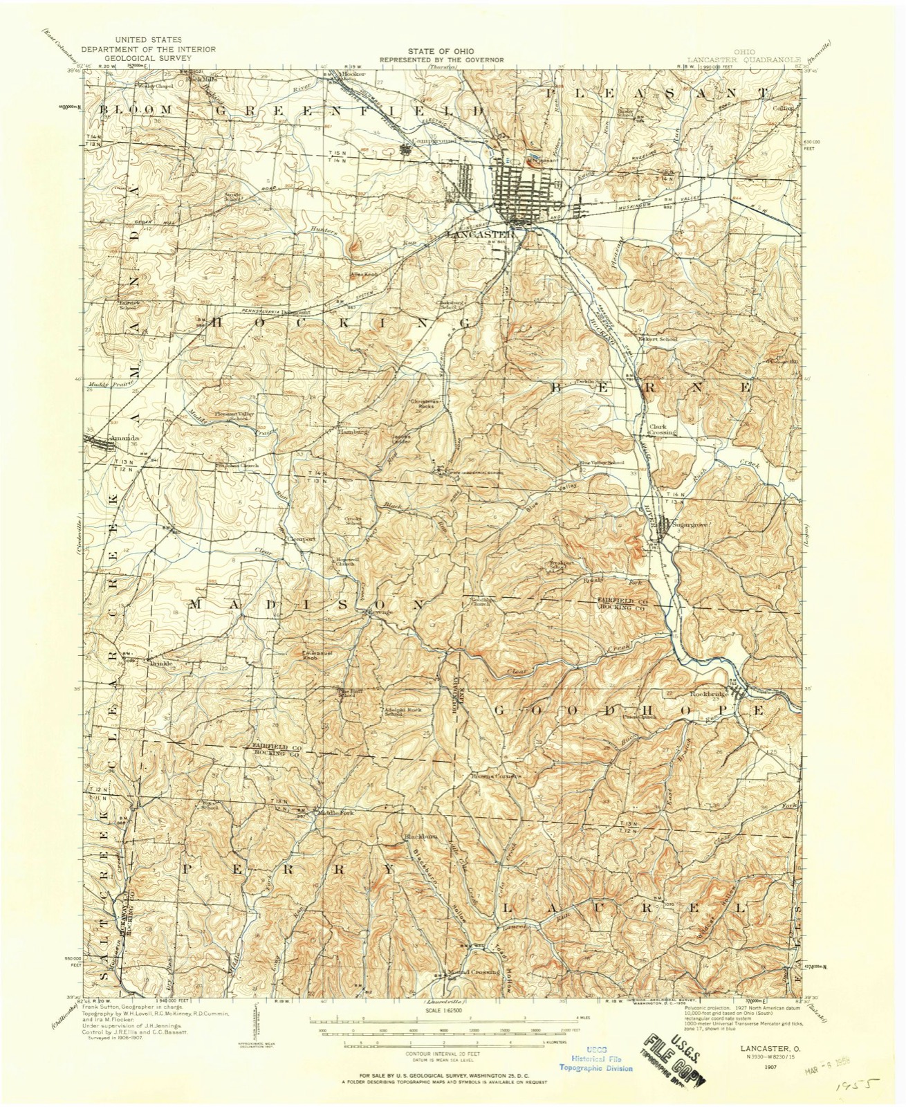
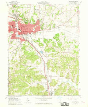
13 topographic sheets cover this place, the earliest surveyed in 1907 and the latest in 1984. It stands in Pleasant Township. It lies in ZIP code area 43130. It stands on Waterworks Hill. The Survey maps it on the Lancaster quadrangle.
Then and now
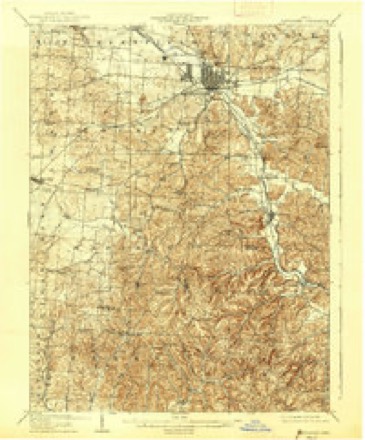
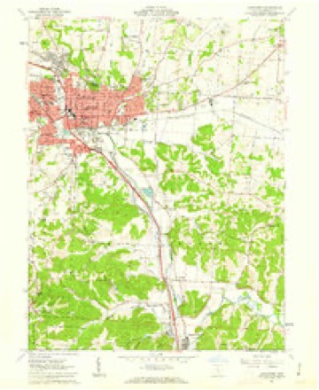
1907 to 1984The same ground, surveyed 77 years apart. Drag the handle to wipe between them. Both sheets are United States Geological Survey originals; neither has been altered.
Topographic sheets covering this place
13 sheetsMatched by testing this settlement's coordinate against the published boundary of every sheet in the United States Geological Survey's historical collection. Each opens the scanned sheet at the Survey.
- 1907 USGS Lancaster quadrangle1:62500
- 1909 USGS Lancaster quadrangle1:62500
- 1909 USGS Lancaster quadrangle1:62500
- 1947 USGS Columbus quadrangle1:250000
- 1961 USGS Columbus quadrangle1:250000
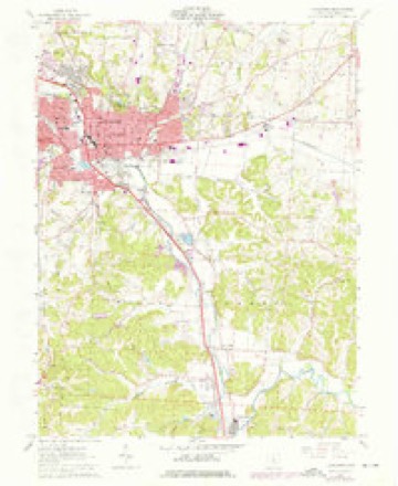
- 1961 USGS Lancaster quadrangle1:24000
- 1961 USGS Lancaster quadrangle1:24000
- 1961 USGS Lancaster quadrangle1:24000
- 1961 USGS Lancaster quadrangle1:24000
- 1962 USGS Columbus quadrangle1:250000
- 1967 USGS Columbus quadrangle1:250000
- 1967 USGS Columbus quadrangle1:250000
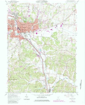
- 1984 USGS Lancaster quadrangle1:100000






What happened here
An account from the chapter on Pleasant township, in the words of 1901.
Conclusion
To the aged citizens of Fairfield County; to the middleaged ; and to the young, I address some closing thoughts and reflections. We are approaching the point now where, as authors sometimes say, we must part. But you and I, dear reader, will not part. You have kept my company in my pilgrimage back through the decades of years, to where this now fertile and rich valley and its adjacent country was, to use an expression mo're familar to the ear than comprehended b}^ the mind, a howling wilderness where "nothing dwelt but beasts of prey, or men as fierce and wild as they." Together we have stood mentally in the wilds of the unbroken forests of the Hocking Valley, and on Mount Pleasant's lofty summit, and listened to the discordant yells of the untutored savage, the screaming panther, the howling wolf, the barking fox, and the doleful hooting of the big owl, before the first dawnings of civilization shed their cheering rays over scenes that "long in darkness lay." But we stood on the boundaries of a barren waste of desert; a desert into which no Anglo-Saxon ej'e ever peered - the desert of the past unknown and unnumbered years, for there was nothing to mark the drifting centuries.
In the 1901 county history
16,874 words on this townshipThe county history of 1901 has no passage naming this settlement, which was common for the smaller places. Its township is covered in full.
The chapter on Pleasant Township covers the township.
Read the chapter on Pleasant Township - 16,874 words.
Fires nearby
7 since 2012The federal wildfire occurrence database lists 7 fires within 5 miles of Wacker Heights between 2012 and 2020, burning about 11 acres in total. None started naturally. None was recorded as arson. Distance is straight-line from the map coordinates, so a fire counted here may appear on a neighbouring settlement's page as well.
| Reported cause | Fires |
|---|---|
| Debris and open burning | 4 |
| Power generation/transmission/distribution | 2 |
| Fireworks | 1 |
The most recent of them, most recent first, with the day each was reported and the service that recorded it.
| Date | Cause | Size | Reported by | Name on the report |
|---|---|---|---|---|
| 22 September 2019 | Debris and open burning | under an acre | Ohio Department of Natural Resources | 15338 |
| 5 July 2020 | Fireworks | 1.0 acres | Ohio Department of Natural Resources | 15801 |
| 16 June 2020 | Power generation/transmission/distribution | under an acre | Ohio Department of Natural Resources | 15761 |
| 5 April 2015 | Power generation/transmission/distribution | 7.0 acres | Ohio Department of Natural Resources | 742 |
| 9 March 2012 | Debris and open burning | under an acre | Ohio Department of Natural Resources | not named |
| 8 March 2020 | Debris and open burning | 2.0 acres | Ohio Department of Natural Resources | 15458 |
| 19 March 2015 | Debris and open burning | under an acre | Ohio Department of Natural Resources | 524 |
Settlements close enough to share some of these fires:
Specimens collected nearby
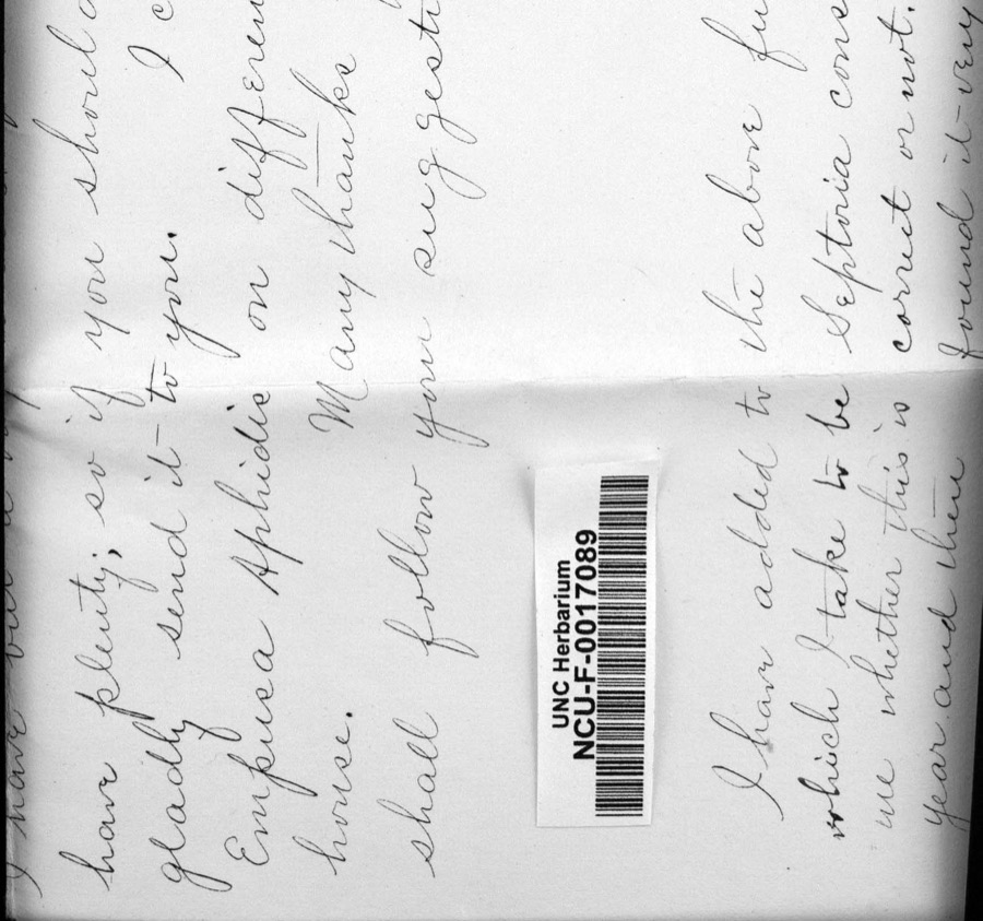
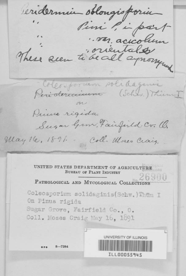
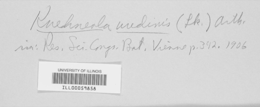
12 of 2,158 shownMuseums hold 2,158 specimens collected within 10 miles of Wacker Heights between 1839 and 1975: 1,528 Animalia, 394 Fungi, 222 Plantae, 7 Protozoa, 5 Unrecorded, 2 Chromista. 12 distinct Species records are shown. Collected by A. Schrader, Angerman, C. (Carl) & Triplehorn, C. A. (Charles A.), Asa Gray; W. S. Sullivant and others. Each is a physical object with a catalogue number, and each entry opens the museum's record. This is what was collected and kept, not a survey of what lives here - nothing can be concluded from a species being absent.
| Image | Species | Year | Collected by | Where, as recorded |
|---|---|---|---|---|
 | Diderma spumarioides (Fr. & Palmquist) Fr., 1829 | 1890 | Detmers, Freda | Sugar Grove |
 | Coleosporium solidaginis (Schwein.) Thüm. | 1891 | M. Craig | Sugar Grove |
 | Kuehneola uredinis (Link) Arthur | 1891 | Freda Detmers | Rock Mill |
| Coreopsis discoidea Torr. & A.Gray | 1839 | W. S. Sullivant | ||
 | Platanthera leucophaea (Nutt.) Lindl. | 1839 | W. S. Sullivant | |
 | Saxifraga sullivantii Torr. & A.Gray | 1839 | W. S. Sullivant | |
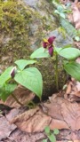 | Trillium erectum var. declinatum A.Gray | 1839 | W. S. Sullivant | |
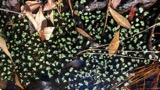 | Ricciocarpos natans (L.) Corda | 1840 | W. S. Sullivant | |
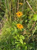 | Rudbeckia sullivantii C.L.Boynton & Beadle | 1840 | W. S. Sullivant | |
 | Amblystegium serpens var. juratzkanum (Schimp.) Rau & Herv. | 1841 | not recorded | |
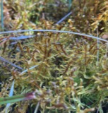 | Hamatocaulis vernicosus (Mitt.) Hedenäs | 1841 | W. S. Sullivant | |
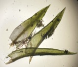 | Ceratodon purpureus (Hedw.) Brid. | 1842 | W. S. Sullivant |
All 2,158 specimens within 10 miles, at the Global Biodiversity Information Facility.
Mines and quarries nearby
8 within 5 milesThe federal mineral resources record lists 8 workings within 5 miles of Wacker Heights: 4 past producers, 4 producers. 4 still produce. What was taken out: Sand and Gravel, Construction. Distance is straight-line from the map coordinates, so a quarry counted here may appear on a neighbouring settlement's page as well.
| Where | Site | Commodity | Status | Recorded |
|---|---|---|---|---|
| Alley Pit | Sand and Gravel, Construction | Producer | ||
| Blazer Plant A-1 & Pit | Sand and Gravel, Construction | Producer | ||
| Brewer Sand and Gravel Pit | Sand and Gravel, Construction | Past Producer | Sedimentary | |
| Febus Gravel Pit | Sand and Gravel, Construction | Past Producer | Sedimentary | |
| Igel Pit | Sand and Gravel, Construction | Producer | ||
| Morris Sand and Gravel Pit | Sand and Gravel, Construction | Past Producer | Sedimentary | |
| Morris Sand and Gravel Pit | Sand and Gravel, Construction | Past Producer | ||
| Stump Hollow Pit | Sand and Gravel, Construction | Producer |
Nearest settlements
The eight closest, with where each one stands in the county. Distances are straight-line, computed from the Geographic Names Information System coordinates.
| Map | Place | Distance | Sheets |
|---|---|---|---|
| Lancaster | 2.3 miles | 13 | |
| Carpenters Addition | 2.6 miles | 13 | |
| Tarhe Town (historical) | 2.7 miles | 13 | |
| Sandstone (historical) | 2.7 miles | 13 | |
| Whites | 2.7 miles | 13 | |
| Dumontville | 3.1 miles | 12 | |
| Colonial Estates | 3.7 miles | 12 | |
| Colfax | 4.0 miles | 13 |
Elsewhere
Matched on this settlement's Geographic Names Information System number rather than its name, so it cannot be a different place of the same name in another state.
| Wikidata item Q122550440 | The structured record the population and elevation above come from. Public domain (CC0). |
Provenance
This settlement is recorded in the Geographic Names Information System as feature 1049283. The sheet list is computed by point-in-boundary test against the United States Geological Survey's historical topographic inventory. Both are works of the United States government and carry no copyright under 17 U.S.C. 105.
Wildfire. Short, Karen C. 2022. Spatial wildfire occurrence data for the United States, 1992-2020 [FPA_FOD_20221014]. 6th Edition. Fort Collins, CO: Forest Service Research Data Archive. https://doi.org/10.2737/RDS-2013-0009.6 Collected with United States Government funding and usable without additional permissions or fees.
Specimens. Global Biodiversity Information Facility (GBIF), https://www.gbif.org/. Only records licensed CC0 or CC BY are used. Records licensed CC BY-NC are excluded because this site carries advertising. Images are checked individually and any whose licence is non-commercial, no-derivatives or unreadable is refused.
Mines and quarries. USGS Mineral Resources Data System (MRDS) https://mrdata.usgs.gov/mrds/ A work of the United States government, no copyright under 17 U.S.C. 105.