 Block
Block
Ward, Ohio
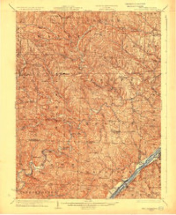
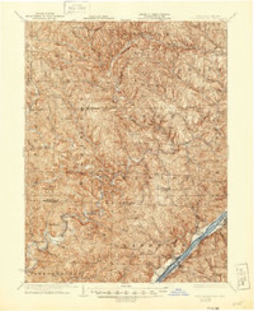
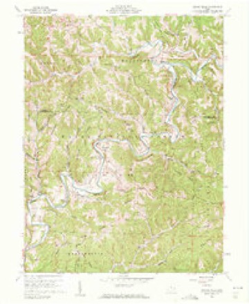
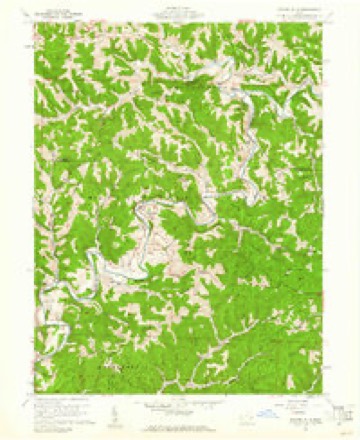
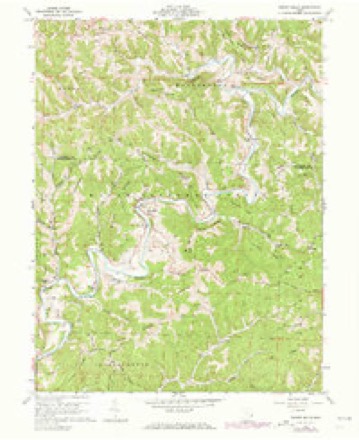
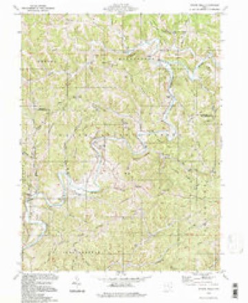
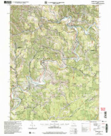
16 topographic sheets cover this place, the earliest surveyed in 1905 and the latest in 2002. It stands in Grandview Township. It lies in ZIP code area 45767. The Survey maps it on the Rinard Mills quadrangle. The federal gazetteer marks this settlement historical: it is no longer a populated place, though the surveys that recorded it still are.
Then and now
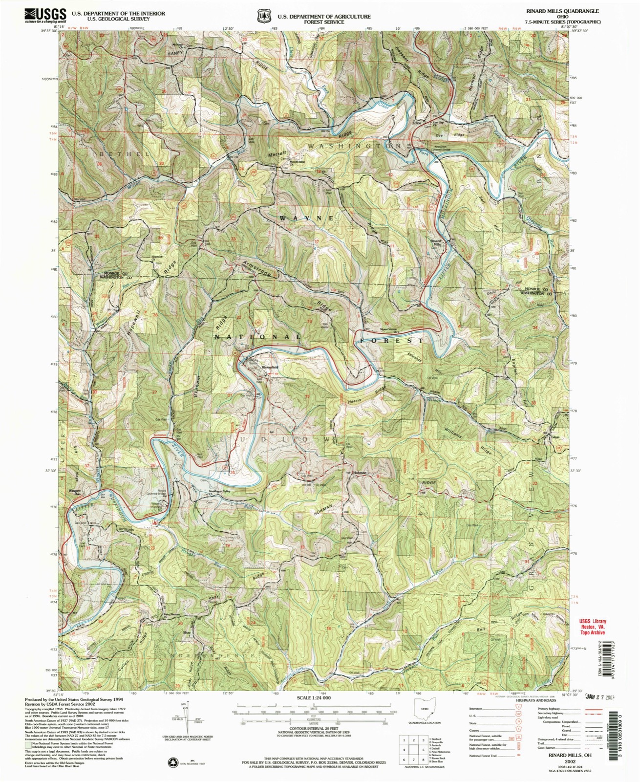
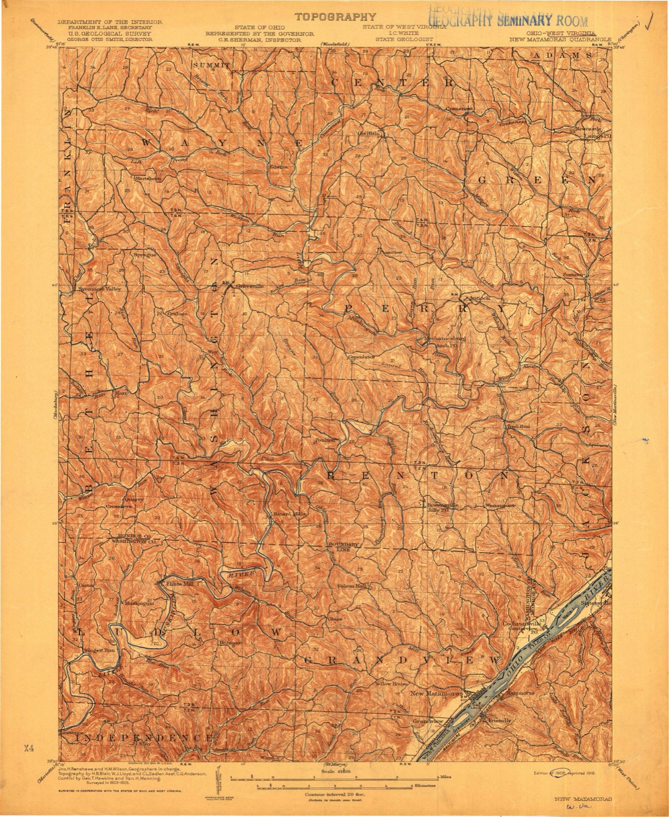
1905 to 2002The same ground, surveyed 97 years apart. Drag the handle to wipe between them. Both sheets are United States Geological Survey originals; neither has been altered.
Compare 1905 against another survey:
Topographic sheets covering this place
16 sheetsMatched by testing this settlement's coordinate against the published boundary of every sheet in the United States Geological Survey's historical collection. Each opens the scanned sheet at the Survey.
- 1905 USGS New Matamoras quadrangle1:62500
- 1924 USGS New Matamoras quadrangle1:62500
- 1926 USGS New Matamoras quadrangle1:62500
- 1926 USGS New Matamoras quadrangle1:62500
- 1949 USGS Clarksburg quadrangle1:250000
- 1956 USGS Clarksburg quadrangle1:250000
- 1956 USGS Clarksburg quadrangle1:250000
- 1960 USGS Rinard Mills quadrangle1:24000
- 1960 USGS Rinard Mills quadrangle1:24000
- 1960 USGS Rinard Mills quadrangle1:24000
- 1961 USGS Clarksburg quadrangle1:250000
- 1980 USGS Senecaville quadrangle1:100000
- 1980 USGS Senecaville Lake quadrangle1:100000
- 1988 USGS Clarksburg quadrangle1:250000
- 1994 USGS Rinard Mills quadrangle1:24000
- 2002 USGS Rinard Mills quadrangle1:24000





In the county-history sources
13,709 words on this townshipHistory of Washington County, Ohio, published 1881 names this settlement in its chapter on Grandview Township. These are the passages that mention it, exactly as the scans read.
The timber lands are mostly of the different varieties of oak, while some hickory, walnut ard poplar may be found. The whole length of the township, between the extreme north and south points, is ten miles and the greatest width five and one half miles, embracing an area of near thirty thousand acres of land. The settlements were made along the banks of the Ohio, and Matamoras is the only incorporated town. Grand View village, Ward Station, and Yellow House are points of trade and post offices. The population, according to the last census, is two thousand six hundred and sixty-four. The drainage is generally by small branches into the Ohio river; the principal branch is Sheet's run, which takes its rise in the northwestern part, and flowing directly south, empties into the Ohio at the extreme southwest corner of the township. Mill Creek run carries the waters of the northern part into the Ohio above Matamoras.
Passage source: History of Washington County, Ohio, published 1881.
James Ward came from Pennsylvania and settled in Grand View township, in section five, in 1845. He was born in 1813, and was married in 1834. His wife, Margaret, was born in 1815. 'They now have seven children living: David, Mary, Richard, Eliza Jane, Albert, Joseph, and Margaret. He has by his own industry accumulated a large property, part of which he has distributed among his children, and is a leading citizen of the county.
Passage source: History of Washington County, Ohio, published 1881.
Joseph P. was born in 1846, and in 1877 was married to Nancy M. Covert, who was born in 1858. They have one child - Asa Evart. He has studied law for a number of years, and is now notary public and holds half interest in the general store under the name of Ward Brothers. He is the present postmaster, located about eight miles west of Matamoras. The general store of Ward Brothers is the only business house at what is known as Ward station. The merchandizing of quite a large and thickly settled community is done here. The business firm is composed of Albert and Joseph P. Ward, and was established in in 1862 under the name of Richard Ward. It consists of dry goods, general merchandising, produce, and buying tobacco. The Ward family now owns about three hundred and fifty acres of land in this township.
Passage source: History of Washington County, Ohio, published 1881.
Machine-read from a century-old scan, so expect the errors a machine makes: misspelled names, dropped words, stray characters.
Read the whole chapter on Grandview Township - it names this place 3 more 3 times.
Fires near this place
16 since 2001Regional context, not property-specific evidence. The federal wildfire occurrence database lists 16 fires within 5 miles of Ward (historical) between 2001 and 2020, burning about 119 acres in total. None started naturally. 5 were recorded as arson. Distance is straight-line from the map coordinates, so a fire counted here may appear on a neighbouring settlement's page as well.
| Reported cause | Fires |
|---|---|
| Arson/incendiarism | 5 |
| Debris and open burning | 4 |
| Power generation/transmission/distribution | 3 |
| Smoking | 1 |
| Recreation and ceremony | 1 |
| Missing data/not specified/undetermined | 1 |
| Equipment and vehicle use | 1 |
The most recent of them, most recent first, with the day each was reported and the service that recorded it.
| Date | Cause | Size | Reported by | Name on the report |
|---|---|---|---|---|
| 27 August 2002 | Debris and open burning | under an acre | Wayne National Forest | DAVE DECKER FIRE |
| 30 May 2007 | Power generation/transmission/distribution | under an acre | West Virginia Division of Forestry | not named |
| 4 April 2013 | Debris and open burning | 3.0 acres | Ohio Department of Natural Resources | not named |
| 8 March 2016 | Equipment and vehicle use | 4.5 acres | Wayne National Forest | 260 |
| 7 March 2020 | Missing data/not specified/undetermined | under an acre | Wayne National Forest | SYCAMORE |
| 7 March 2001 | Arson/incendiarism | 55 acres | Wayne National Forest | BELL |
| 6 March 2018 | Arson/incendiarism | 1.0 acres | Wayne National Forest | JACKSON RUN FIRE |
| 6 March 2001 | Arson/incendiarism | under an acre | Wayne National Forest | JACKSON RUN |
Settlements close enough to share some of these fires:
Specimens collected near this place
12 of 244 shownRegional context, not property-specific evidence. Museums hold 244 specimens collected within 10 miles of Ward (historical) between 1853 and 1975: 214 Animalia, 18 Plantae, 10 Fungi, 2 Chromista. 12 distinct Species records are shown. Collected by Adler, K. K., Wood & Tilley, S. G., Albert Hazen Wright, Archer, W. A. and others. Each is a physical object with a catalogue number, and each entry opens the museum's record. This is what was collected and kept, not a survey of what lives here - nothing can be concluded from a species being absent.
| Image | Species | Year | Collected by | Where, as recorded |
|---|---|---|---|---|
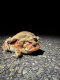 | Anaxyrus americanus (Holbrook, 1836) | 1853 | not recorded | Marietta |
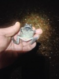 | Anaxyrus fowleri (Hinckley, 1882) | 1853 | not recorded | Marietta |
 | Diadophis punctatus (Linnaeus, 1766) | 1853 | not recorded | Marietta |
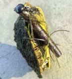 | Graptemys geographica (Lesueur, 1817) | 1853 | not recorded | Marietta |
| Liochlorophis vernalis (Harlan, 1827) | 1853 | not recorded | Marietta | |
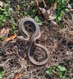 | Thamnophis Fitzinger, 1843 | 1853 | not recorded | Marietta |
 | Cryptobranchus alleganiensis (Sonnini de Manoncourt & Latreille, 1801) | 1883 | Albert Hazen Wright | Marietta |
| Alternaria solani Sorauer | 1905 | Post A. Lee | Long Reach | |
| Peronospora manshurica (Naumov) Syd. | 1928 | Archer, W. A. | Greenbrier | |
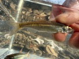 | Cyprinella whipplei Girard, 1856 | 1929 | Trautman, M. B. (Milton Bernard) & Walker, W. H. (W. Harrington) | Little Muskingum River, near Hune Covered Bridge, south of Wingett Run OH, NE Lawrence Township |
 | Etheostoma blennioides Rafinesque, 1819 | 1929 | Trautman, M. B. (Milton Bernard) & Walker, W. H. (W. Harrington) | Little Muskingum River, near Hune Covered Bridge, south of Wingett Run OH, NE Lawrence Township |
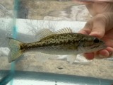 | Micropterus punctulatus (Rafinesque, 1819) | 1929 | Trautman, M. B. (Milton Bernard) & Walker, W. H. (W. Harrington) | Little Muskingum River, near Hune Covered Bridge, south of Wingett Run OH, NE Lawrence Township |
All 244 specimens within 10 miles, at the Global Biodiversity Information Facility.
Mines and quarries near this place
2 within 5 milesRegional context, not property-specific evidence. The federal mineral resources record lists 2 workings within 5 miles of Ward (historical): 2 producers. All of them still produce. What was taken out: Gemstone, Sand and Gravel, Construction. Distance is straight-line from the map coordinates, so a quarry counted here may appear on a neighbouring settlement's page as well.
| Where | Site | Commodity | Status | Recorded |
|---|---|---|---|---|
| Mason's House of Flint Mine | Gemstone | Producer | 1969 | |
| Muskingum River G. Plant No. 2 Pit | Sand and Gravel, Construction | Producer |
Nearest settlements
The eight closest, with where each one stands in the county. Distances are straight-line, computed from the Geographic Names Information System coordinates.
| Map | Place | Distance | Sheets |
|---|---|---|---|
| Beavertown | 2.7 miles | 19 | |
| Hohman | 3.2 miles | 16 | |
| Leith | 3.2 miles | 20 | |
| Archers Fork | 3.3 miles | 20 | |
| Glass | 3.4 miles | 16 | |
| Deucher | 3.5 miles | 20 | |
| Grandview | 3.5 miles | 18 | |
| Shay | 3.7 miles | 16 |
Provenance
This settlement is recorded in the Geographic Names Information System as feature 1050687. The sheet list is computed by point-in-boundary test against the United States Geological Survey's historical topographic inventory. Both are works of the United States government and carry no copyright under 17 U.S.C. 105.
Wildfire. Short, Karen C. 2022. Spatial wildfire occurrence data for the United States, 1992-2020 [FPA_FOD_20221014]. 6th Edition. Fort Collins, CO: Forest Service Research Data Archive. https://doi.org/10.2737/RDS-2013-0009.6 Collected with United States Government funding and usable without additional permissions or fees.
Specimens. Global Biodiversity Information Facility (GBIF), https://www.gbif.org/. Only records licensed CC0 or CC BY are used. Records licensed CC BY-NC are excluded because this site carries advertising. Images are checked individually and any whose licence is non-commercial, no-derivatives or unreadable is refused.
Mines and quarries. USGS Mineral Resources Data System (MRDS) https://mrdata.usgs.gov/mrds/ A work of the United States government, no copyright under 17 U.S.C. 105.