 Block
Block
Grandview, Ohio
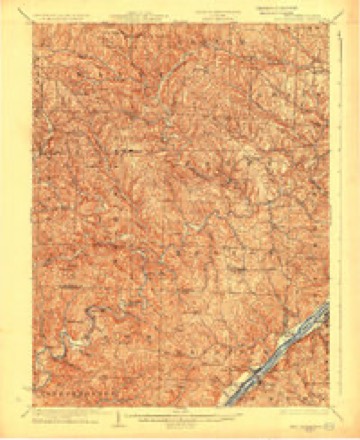
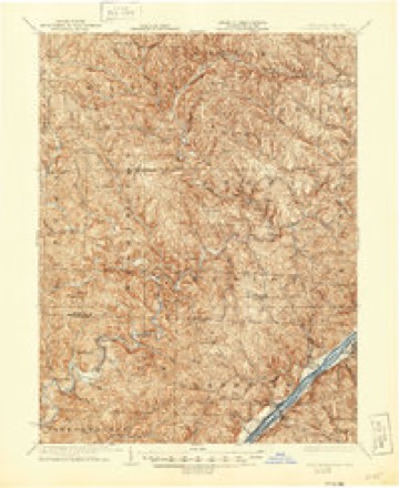
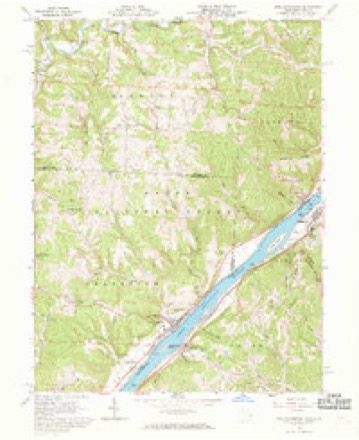
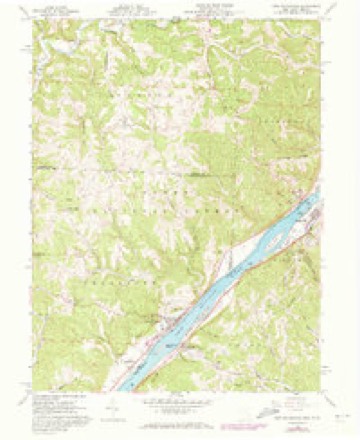
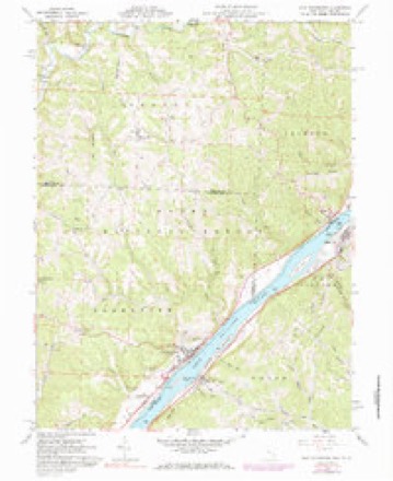
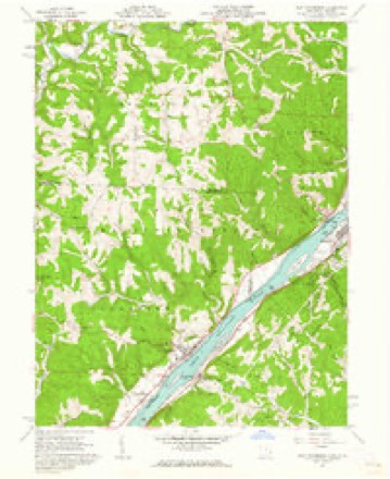
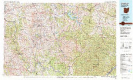
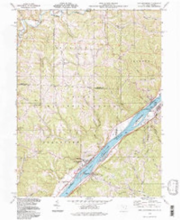
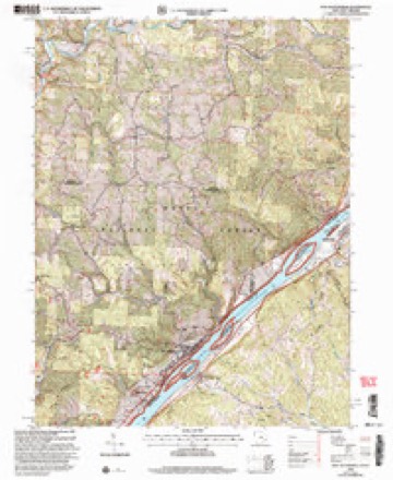
18 topographic sheets cover this place, the earliest surveyed in 1905 and the latest in 2002. It stands in Grandview Township. It lies in ZIP code area 45767. It stands on Grandview Run. The Survey maps it on the New Matamoras quadrangle.
Then and now
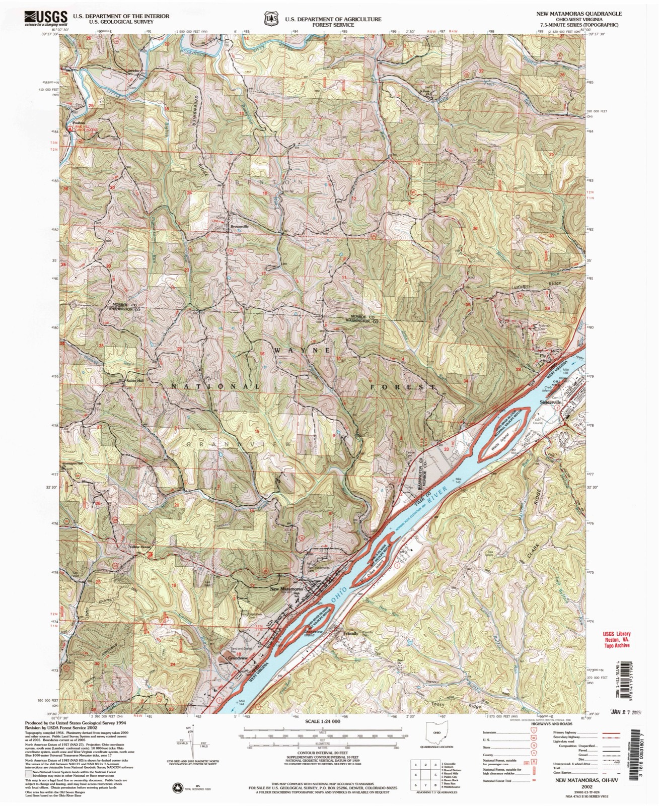
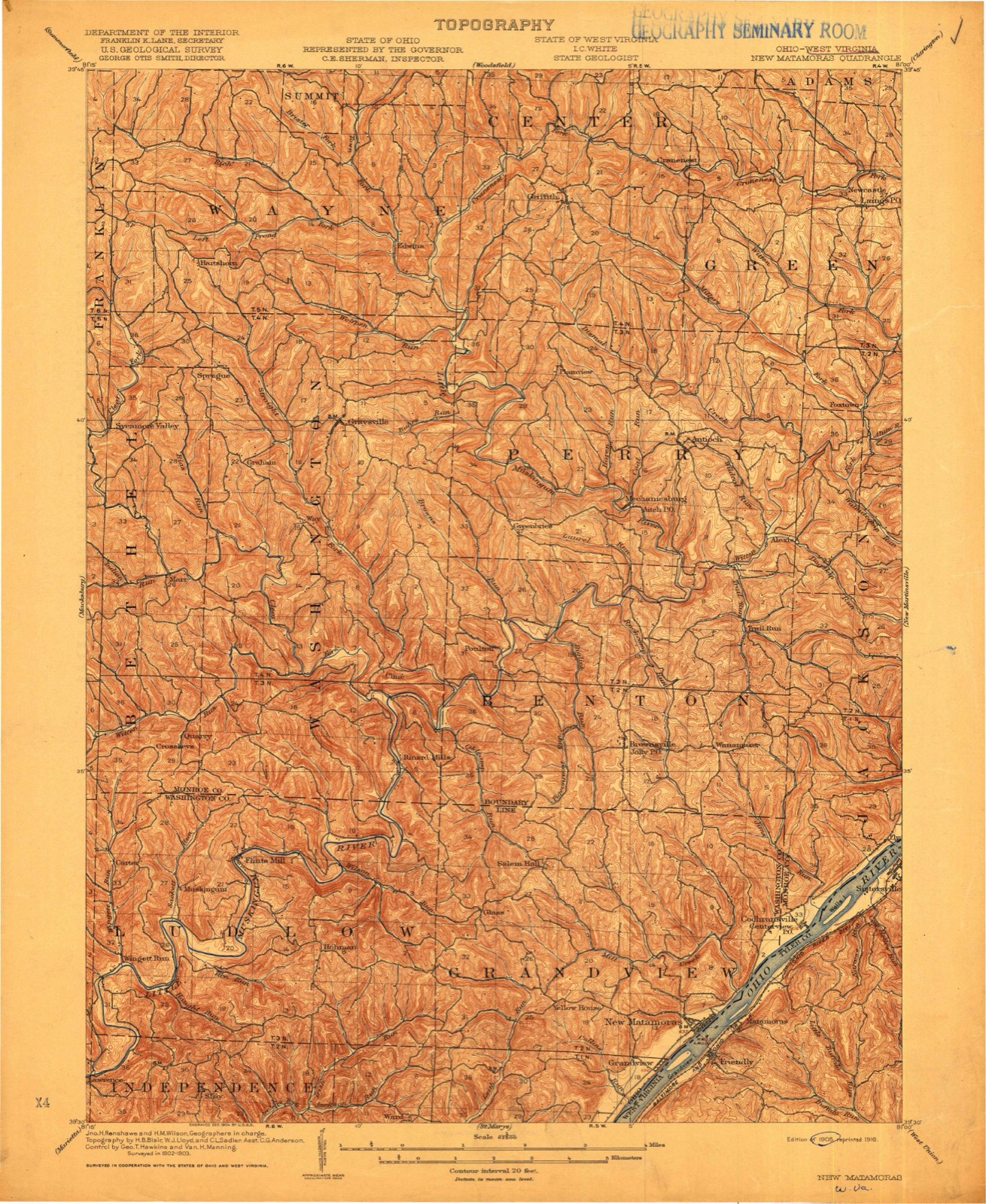
1905 to 2002The same ground, surveyed 97 years apart. Drag the handle to wipe between them. Both sheets are United States Geological Survey originals; neither has been altered.
Compare 1905 against another survey:
Topographic sheets covering this place
18 sheetsMatched by testing this settlement's coordinate against the published boundary of every sheet in the United States Geological Survey's historical collection. Each opens the scanned sheet at the Survey.
- 1905 USGS New Matamoras quadrangle1:62500
- 1924 USGS New Matamoras quadrangle1:62500
- 1926 USGS New Matamoras quadrangle1:62500
- 1926 USGS New Matamoras quadrangle1:62500
- 1949 USGS Clarksburg quadrangle1:250000
- 1956 USGS Clarksburg quadrangle1:250000
- 1956 USGS Clarksburg quadrangle1:250000
- 1960 USGS New Matamoras quadrangle1:24000
- 1960 USGS New Matamoras quadrangle1:24000
- 1960 USGS New Matamoras quadrangle1:24000
- 1960 USGS New Matamoras quadrangle1:24000
- 1961 USGS Clarksburg quadrangle1:250000
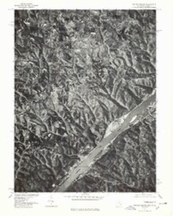
- 1975 USGS New Matamoras quadrangle1:24000
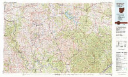
- 1980 USGS Senecaville quadrangle1:100000
- 1980 USGS Senecaville Lake quadrangle1:100000
- 1988 USGS Clarksburg quadrangle1:250000
- 1994 USGS New Matamoras quadrangle1:24000
- 2002 USGS New Matamoras quadrangle1:24000





In the county-history sources
13,709 words on this townshipHistory of Washington County, Ohio, published 1881 names this settlement in its chapter on Grandview Township. These are the passages that mention it, exactly as the scans read.
ASCENDING the highest hill immediately southwest of Matamoras, and turning our gaze toward the east, a scene of rare beauty is revealed. At first the eye will naturally seek the view of the great, majestic sweep of the Ohio, whose waters can be traced for full twenty miles away. Then beyond are the Virginia hills rolling away into mere perspective of blue sky and vapory clouds. On either hand the Buckeye hills, with rugged brows of. abutting sandstone, stand revealed in strongest outline, amidst gnarled trunks of trees, varigated oaks and evergreen pine.
Passage source: History of Washington County, Ohio, published 1881.
Below is the town of Matamoras toward the north, and the village of Grand View at the south with pointed church-spires and the scarce-heard echoes of their school bells mingle with the hum of manufacture, the bustle of farm life, and the piercing whistle of the river steamers. The squares of fenced fields, dotted with farm houses; the winding roads and noisy teamsters, the orchards, field and woodland, in one unbroken vista - how natural the exclamation: 'What a grand view!"
Passage source: History of Washington County, Ohio, published 1881.
The timber lands are mostly of the different varieties of oak, while some hickory, walnut ard poplar may be found. The whole length of the township, between the extreme north and south points, is ten miles and the greatest width five and one half miles, embracing an area of near thirty thousand acres of land. The settlements were made along the banks of the Ohio, and Matamoras is the only incorporated town. Grand View village, Ward Station, and Yellow House are points of trade and post offices. The population, according to the last census, is two thousand six hundred and sixty-four. The drainage is generally by small branches into the Ohio river; the principal branch is Sheet's run, which takes its rise in the northwestern part, and flowing directly south, empties into the Ohio at the extreme southwest corner of the township. Mill Creek run carries the waters of the northern part into the Ohio above Matamoras.
Passage source: History of Washington County, Ohio, published 1881.
Machine-read from a century-old scan, so expect the errors a machine makes: misspelled names, dropped words, stray characters.
Photographs
1 photograph,Taken for the Office of War Information and the Farm Security Administration, who photographed the country between 1935 and 1944. Works of United States government photographers, with no known restriction on use. Each opens its catalogue record.
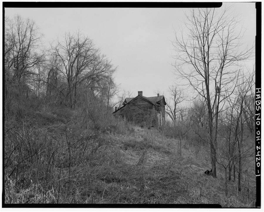
Unattributed, . Library of Congress
Fires near this place
19 since 1993Regional context, not property-specific evidence. The federal wildfire occurrence database lists 19 fires within 5 miles of Grandview between 1993 and 2020, burning about 108 acres in total. None started naturally. 5 were recorded as arson. Distance is straight-line from the map coordinates, so a fire counted here may appear on a neighbouring settlement's page as well.
| Reported cause | Fires |
|---|---|
| Debris and open burning | 8 |
| Arson/incendiarism | 5 |
| Power generation/transmission/distribution | 4 |
| Missing data/not specified/undetermined | 1 |
| Equipment and vehicle use | 1 |
The most recent of them, most recent first, with the day each was reported and the service that recorded it.
| Date | Cause | Size | Reported by | Name on the report |
|---|---|---|---|---|
| 27 August 2002 | Debris and open burning | under an acre | Wayne National Forest | DAVE DECKER FIRE |
| 30 May 2007 | Power generation/transmission/distribution | under an acre | West Virginia Division of Forestry | not named |
| 1 May 1993 | Arson/incendiarism | 5.0 acres | West Virginia Division of Forestry | THORN RIDGE |
| 4 April 2013 | Debris and open burning | 3.0 acres | Ohio Department of Natural Resources | not named |
| 4 April 1996 | Debris and open burning | 1.0 acres | West Virginia Division of Forestry | FRIENDLY |
| 8 March 2016 | Equipment and vehicle use | 4.5 acres | Wayne National Forest | 260 |
| 7 March 2020 | Missing data/not specified/undetermined | under an acre | Wayne National Forest | SYCAMORE |
| 7 March 2001 | Arson/incendiarism | 55 acres | Wayne National Forest | BELL |
Settlements close enough to share some of these fires:
Specimens collected near this place
12 of 147 shownRegional context, not property-specific evidence. Museums hold 147 specimens collected within 10 miles of Grandview between 1905 and 1975: 125 Animalia, 11 Plantae, 9 Fungi, 2 Chromista. 12 distinct Species records are shown. Collected by Archer, W. A., Bartholomew, E.A., Conan J. Taylor and others. Each is a physical object with a catalogue number, and each entry opens the museum's record. This is what was collected and kept, not a survey of what lives here - nothing can be concluded from a species being absent.
| Image | Species | Year | Collected by | Where, as recorded |
|---|---|---|---|---|
| Alternaria solani Sorauer | 1905 | Post A. Lee | Long Reach | |
 | Cercospora canescens Ellis & G.Martin | 1905 | Johnson T. C. | Long Reach |
 | Phyllosticta Pers., 1818 | 1905 | Post A. L. | Long Reach |
 | Plasmopara viticola (Berk. & M.A.Curtis) Berl. & De Toni | 1905 | Post, A. L. | Long Reach |
 | Venturia inaequalis (Cooke) G.Winter | 1905 | Johnson T. C. | Long Reach |
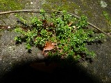 | Arenaria serpyllifolia L. | 1911 | O. E. Jennings | Kelly's Island- above Glacial Grooves quarry. |
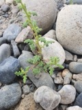 | Dysphania botrys (L.) Mosyakin & Clemants | 1911 | O. E. Jennings | Kelly's Island-edges of Glac.; grooves quarry. |
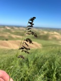 | Ustilago avenae (Pers.) Rostr. | 1924 | Farr C. H. | New Matamoras |
| Peronospora manshurica (Naumov) Syd. | 1928 | Archer, W. A. | Greenbrier | |
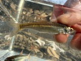 | Cyprinella whipplei Girard, 1856 | 1929 | Trautman, M. B. (Milton Bernard) & Walker, W. H. (W. Harrington) | Little Muskingum River, near Hune Covered Bridge, south of Wingett Run OH, NE Lawrence Township |
 | Etheostoma blennioides Rafinesque, 1819 | 1929 | Trautman, M. B. (Milton Bernard) & Walker, W. H. (W. Harrington) | Little Muskingum River, near Hune Covered Bridge, south of Wingett Run OH, NE Lawrence Township |
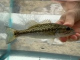 | Micropterus punctulatus (Rafinesque, 1819) | 1929 | Trautman, M. B. (Milton Bernard) & Walker, W. H. (W. Harrington) | Little Muskingum River, near Hune Covered Bridge, south of Wingett Run OH, NE Lawrence Township |
All 147 specimens within 10 miles, at the Global Biodiversity Information Facility.
Mines and quarries near this place
2 within 5 milesRegional context, not property-specific evidence. The federal mineral resources record lists 2 workings within 5 miles of Grandview: 2 producers. All of them still produce. What was taken out: Gemstone, Sand and Gravel, Construction. Distance is straight-line from the map coordinates, so a quarry counted here may appear on a neighbouring settlement's page as well.
| Where | Site | Commodity | Status | Recorded |
|---|---|---|---|---|
| Mason's House of Flint Mine | Gemstone | Producer | 1969 | |
| Muskingum River G. Plant No. 2 Pit | Sand and Gravel, Construction | Producer |
Storms near this place
2 since 2024Regional context, not property-specific evidence. The National Weather Service names Grandview in 2 storm reports between 2024 and 2024: 2 flood. The reports record 1 death. Each account below is quoted exactly as the forecast office filed it, from the NOAA Storm Events Database, and each date opens the federal record of that event.
| When | Event | Place named | Harm | What the report says |
|---|---|---|---|---|
| April 2024 | Flood | Grandview | 1 killed | The Ohio River gauge at Willow Island Lock rose above its flood stage on the morning of April 3rd, then reached a crest of around 41.3 feet the morning of the 5th. The river then receded below flood stage the next morning. With the river spilling out of its banks, water inundated Ohio Route 7 in the Reno area. Ohio State Route 7, Township Road 443, and Township Road 19 at Newell Run and Lenards Landing flooded.||During the time the river was out of its banks, a 42 year old man perished after attempting to drive through the floodwaters on State Route 7 just north of Archer Fork Road. |
| April 2024 | Flood | Grandview | - | The Ohio River at Willow Island Lock exceeded its flood stage during the pre-dawn hours on the 13th of April. The river continued to rise to a crest of around 38.8 feet early on the 14th, then fell below flood stage later that night. Ohio State 7, Township Road 443, and Township Road 19 at Newell Run and Lenards Landing flooded while the river spilled out of its banks. |
Nearest settlements
The eight closest, with where each one stands in the county. Distances are straight-line, computed from the Geographic Names Information System coordinates.
| Map | Place | Distance | Sheets |
|---|---|---|---|
| New Matamoras | 1.4 miles | 18 | |
| Beavertown | 2.9 miles | 19 | |
| Ward (historical) | 3.5 miles | 16 | |
| Glass | 3.8 miles | 16 | |
| Leith | 5.1 miles | 20 | |
| Hohman | 5.6 miles | 16 | |
| Wade | 6.7 miles | 20 | |
| Deucher | 6.7 miles | 20 |
Elsewhere
Matched on this settlement's Geographic Names Information System number rather than its name, so it cannot be a different place of the same name in another state.
| Wikipedia article on Grandview | An encyclopaedic summary. Its text is share-alike, so it is linked here rather than copied. |
| Wikidata item Q22133359 | The structured record the population and elevation above come from. Public domain (CC0). |
Provenance
This settlement is recorded in the Geographic Names Information System as feature 1075947. The sheet list is computed by point-in-boundary test against the United States Geological Survey's historical topographic inventory. Both are works of the United States government and carry no copyright under 17 U.S.C. 105.
Wildfire. Short, Karen C. 2022. Spatial wildfire occurrence data for the United States, 1992-2020 [FPA_FOD_20221014]. 6th Edition. Fort Collins, CO: Forest Service Research Data Archive. https://doi.org/10.2737/RDS-2013-0009.6 Collected with United States Government funding and usable without additional permissions or fees.
Specimens. Global Biodiversity Information Facility (GBIF), https://www.gbif.org/. Only records licensed CC0 or CC BY are used. Records licensed CC BY-NC are excluded because this site carries advertising. Images are checked individually and any whose licence is non-commercial, no-derivatives or unreadable is refused.
Mines and quarries. USGS Mineral Resources Data System (MRDS) https://mrdata.usgs.gov/mrds/ A work of the United States government, no copyright under 17 U.S.C. 105.
Storms. NOAA National Centers for Environmental Information, Storm Events Database https://www.ncei.noaa.gov/stormevents/ A work of the United States government, no copyright under 17 U.S.C. 105. Narratives are quoted verbatim from the National Weather Service report and are not edited or summarised.