 Block
West Williamsfield, Ohio
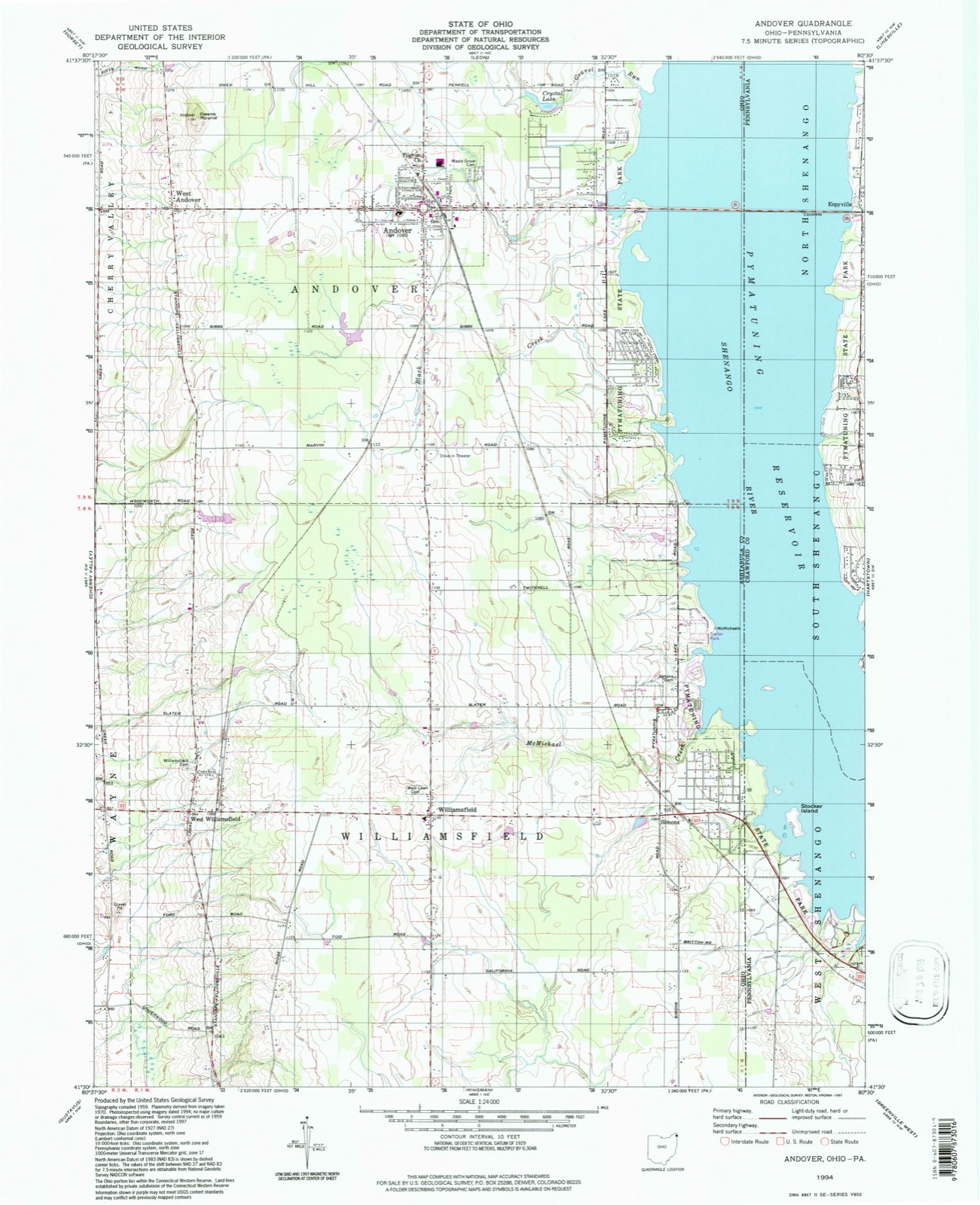
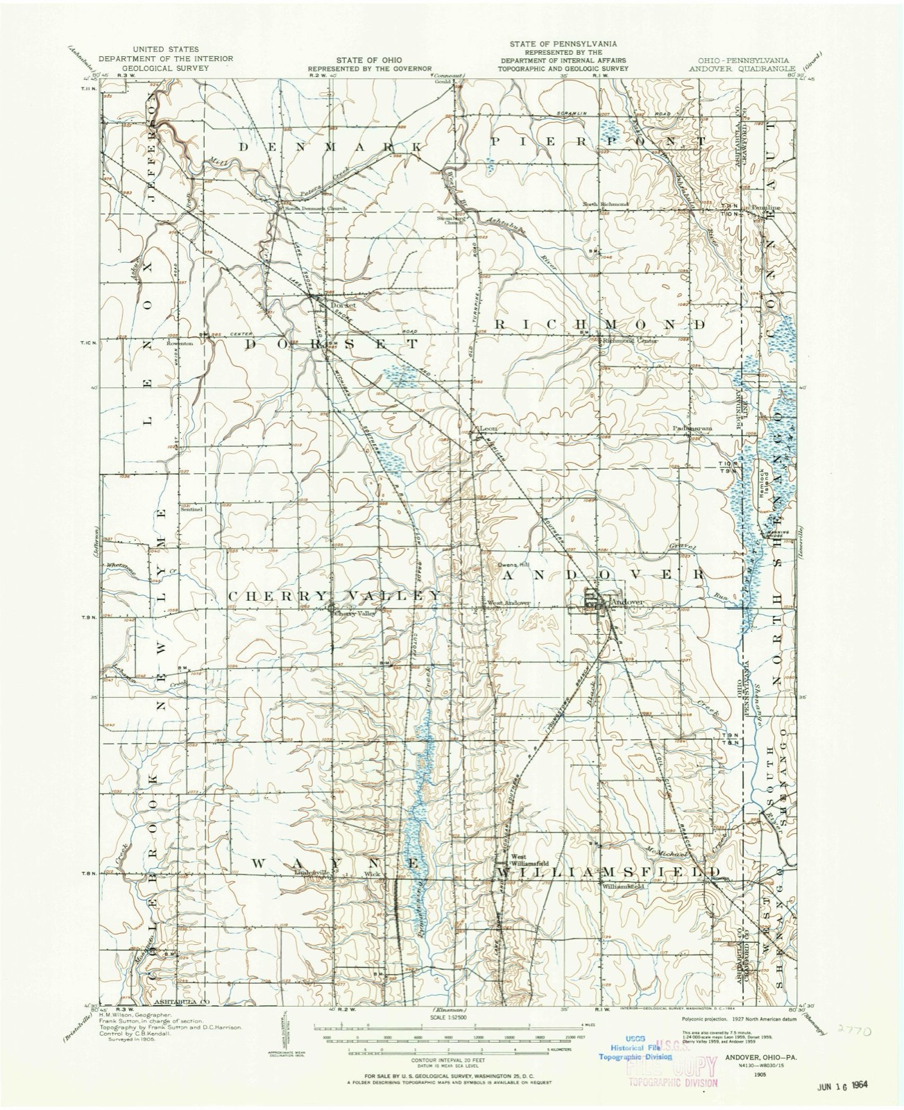
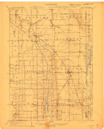
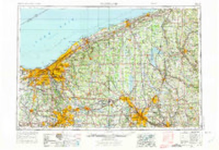
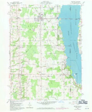
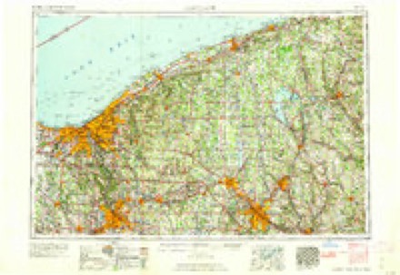
18 topographic sheets cover this place, the earliest surveyed in 1905 and the latest in 1994. It stands in Williamsfield Township. It lies in ZIP code area 44093. The Survey maps it on the Andover quadrangle.
Then and now
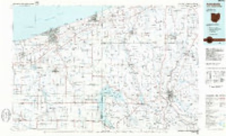
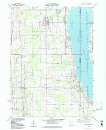
1905 to 1994The same ground, surveyed 89 years apart. Drag the handle to wipe between them. Both sheets are United States Geological Survey originals; neither has been altered.
Compare 1905 against another survey:
Topographic sheets covering this place
8 surveys from 18 printed sheetsMatched by testing this settlement's coordinate against the published boundary of every sheet in the United States Geological Survey's historical collection. Each opens the scanned sheet at the Survey.
- 1905 USGS Andover quadrangle1:62500, 2 printings
- 1905 USGS Andover quadrangle1:48000
- 1907 USGS Andover quadrangle1:62500, 4 printings
- 1956 USGS Cleveland quadrangle1:250000, 3 printings
- 1959 USGS Andover quadrangle1:24000, 4 printings
- 1962 USGS Cleveland quadrangle1:250000
- 1986 USGS Ashtabula quadrangle1:100000, 2 printings
- 1994 USGS Andover quadrangle1:24000
In the county-history sources
3,147 words on this townshipHistory of Ashtabula County, Ohio, published 1878 names this settlement in its chapter on Williamsfield Township. These are the passages that mention it, exactly as the scans read.
In 1807 the Revs. Joseph Badger and Jonathan Leslie made a missionary tour through the first range, and the first sermon delivered in Williamsfield was at this time, by the Rev. Leslie, at the log house of Thomas Ford, - the congregation numbering some twelve souls all told. From this time religious services were held in the settlement at intervals until the organization of a church in 1816. This was a Presbyterian society, composed of members from both Williamsfield and Wayne, the church edifice being located in the latter township, about one-half mile from the east line, and on the east and west State road. The date when this church was constituted was February 21, 1816, - Revs. Giles H. Cowles and Jonathan Leslie being present. The first pastor was Ephraim T. Woodruff, who was installed August 19, 1819, and continued in that capacity until the year 1834. There has also been a Methodist church organization for many years, first holding services at the dwellings of the settlers, then in school-houses, and finally, in 1820, they erected a log meeting-house, near where Ticknor's house now stands. This was the first church erected in Williamsfield. The Methodist Episcopal church at the Centre was formed April 7, 1825, and consisted of seventeen members, - Thomas Carr and Joseph Davis circuit riders. The church edifice was erected in 1834, and the first sermon delivered therein was by Justice Woodworth. The preacher stood on a work-bench, while the congregation were seated on slab seats. The Congregational church at West Williamsfield was erected in 1848. The United Brethren have a church some one and a half miles south of the Centre, built in 1875.
Passage source: History of Ashtabula County, Ohio, published 1878.
The first physician who located in the township was Anson Hotchkiss, in the year 1815. His residence was on the State road. It is said his professional ability was above the average. Dr. Hotchkiss remained in the township until 1821, when he removed to Geneva, this county. The present physician is Mr. Tuckerman, West Williamsfield.
Passage source: History of Ashtabula County, Ohio, published 1878.
The first white male child born in the township was a son of Captain Charles Case and wife, in the early part of the year 1806, and the first female child was in October, same year, daughter of John L. and Emma Cook. This child afterwards became the wife of Samuel Dodge. The first hotel was located in West Williamsfield, and was first thrown open for the accommodation of the traveling public in 1820, with J. W. Giddings as host. The second hotel was erected at this same point in 1830, by H. H. Vernon. The present hotel is kept by J. H. Kincaid, at West Williamsfield, and the one at the Centre by C. 0. French.
Passage source: History of Ashtabula County, Ohio, published 1878.
Machine-read from a century-old scan, so expect the errors a machine makes: misspelled names, dropped words, stray characters.
Read the whole chapter on Williamsfield Township - it names this place 3 more 3 times.
Specimens collected near this place
12 of 85 shownRegional context, not property-specific evidence. Museums hold 85 specimens collected within 10 miles of West Williamsfield between 1895 and 1974: 69 Animalia, 9 Fungi, 7 Plantae. 12 distinct Species records are shown. Collected by Bogue, E.E., C. B. Hellquist, Davis, H.A.; Davis, T. and others. Each is a physical object with a catalogue number, and each entry opens the museum's record. This is what was collected and kept, not a survey of what lives here - nothing can be concluded from a species being absent.
| Image | Species | Year | Collected by | Where, as recorded |
|---|---|---|---|---|
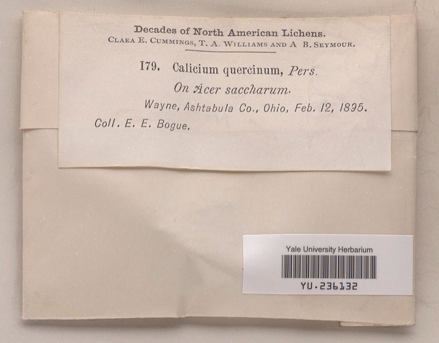 | Calicium quercinum Pers. | 1895 | Ernst E. Bogue | |
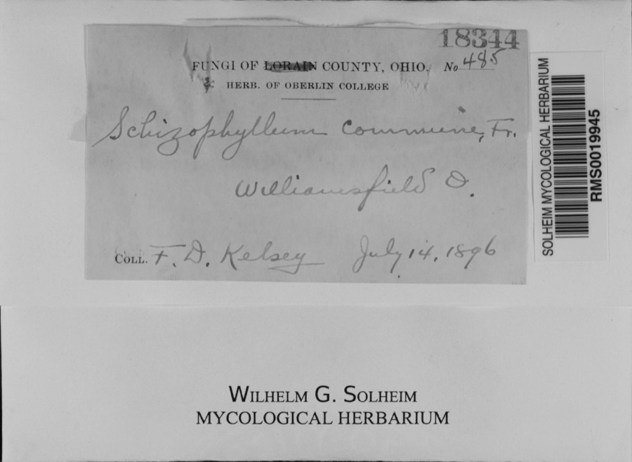 | Schizophyllum commune Fr. | 1896 | F. D. Kelsey | Williamsfield.; 41.533387 -80.570629 |
 | Calicium lenticulare Ach. | 1895 | E. E. Bogue | Wayne |
 | Dendroica discolor discolor (Vieillot, 1809) | 1895 | Geo W. Dean | Wayne |
 | Melanohalea olivacea (L.) O.Blanco, A.Crespo, Divakar, Essl., D.Hawksw. & Lumbsch | 1895 | Bogue, E.E. | Wayne |
 | Sturnella magna magna (Linnaeus, 1758) | 1895 | Geo W. Dean | Wayne |
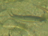 | Campostoma anomalum anomalum | 1928 | Hine, J. S. (James Stewart) & Walker, C. F. (Charles F.) | Pymatuning Creek, near Wick, ~5.4 mi NE of Gustavus, Wayne township |
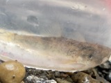 | Catostomus commersonii (Lacepède, 1803) | 1928 | Hine, J. S. (James Stewart) & Walker, C. F. (Charles F.) | Pymatuning Creek, near Wick, ~5.4 mi NE of Gustavus, Wayne township |
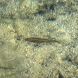 | Chrosomus erythrogaster (Rafinesque, 1820) | 1928 | Hine, J. S. (James Stewart) & Walker, C. F. (Charles F.) | Pymatuning Creek, near Wick, ~5.4 mi NE of Gustavus, Wayne township |
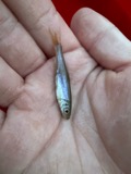 | Clinostomus elongatus (Kirtland, 1840) | 1928 | Hine, J. S. (James Stewart) & Walker, C. F. (Charles F.) | Pymatuning Creek, near Wick, ~5.4 mi NE of Gustavus, Wayne township |
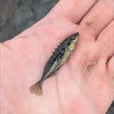 | Culaea inconstans (Kirtland, 1840) | 1928 | Hine, J. S. (James Stewart) & Walker, C. F. (Charles F.) | Pymatuning Creek, near Wick, ~5.4 mi NE of Gustavus, Wayne township |
 | Ericymba buccata Cope, 1865 | 1928 | Hine, J. S. (James Stewart) & Walker, C. F. (Charles F.) | Pymatuning Creek, west of Andover, ~3.9 mi W of Andover, Cherry Valley township |
All 85 specimens within 10 miles, at the Global Biodiversity Information Facility.
Mines and quarries near this place
1 within 5 milesRegional context, not property-specific evidence. The federal mineral resources record lists 1 working within 5 miles of West Williamsfield: 1 unknown. None of them still produces. What was taken out: Sand and Gravel, Construction. Distance is straight-line from the map coordinates, so a quarry counted here may appear on a neighbouring settlement's page as well.
| Where | Site | Commodity | Status | Recorded |
|---|---|---|---|---|
| Kinsman S&G Pit | Sand and Gravel, Construction | Unknown |
Nearest settlements
The eight closest, with where each one stands in the county. Distances are straight-line, computed from the Geographic Names Information System coordinates.
| Map | Place | Distance | Sheets |
|---|---|---|---|
| Williamsfield | 2.0 miles | 18 | |
| Wick | 2.1 miles | 17 | |
| Wayne | 3.1 miles | 17 | |
| Simons | 4.0 miles | 18 | |
| Mann | 4.3 miles | 17 | |
| West Andover | 5.1 miles | 18 | |
| Andover | 5.4 miles | 18 | |
| Andover Country Meadows | 5.8 miles | 18 |
Elsewhere
Matched on this settlement's Geographic Names Information System number rather than its name, so it cannot be a different place of the same name in another state.
| Wikidata item Q122569974 | The structured record the population and elevation above come from. Public domain (CC0). |
Provenance
This settlement is recorded in the Geographic Names Information System as feature 1061757. The sheet list is computed by point-in-boundary test against the United States Geological Survey's historical topographic inventory. Both are works of the United States government and carry no copyright under 17 U.S.C. 105.
Specimens. Global Biodiversity Information Facility (GBIF), https://www.gbif.org/. Only records licensed CC0 or CC BY are used. Records licensed CC BY-NC are excluded because this site carries advertising. Images are checked individually and any whose licence is non-commercial, no-derivatives or unreadable is refused.
Mines and quarries. USGS Mineral Resources Data System (MRDS) https://mrdata.usgs.gov/mrds/ A work of the United States government, no copyright under 17 U.S.C. 105.