 Block
Block
Wick, Ohio
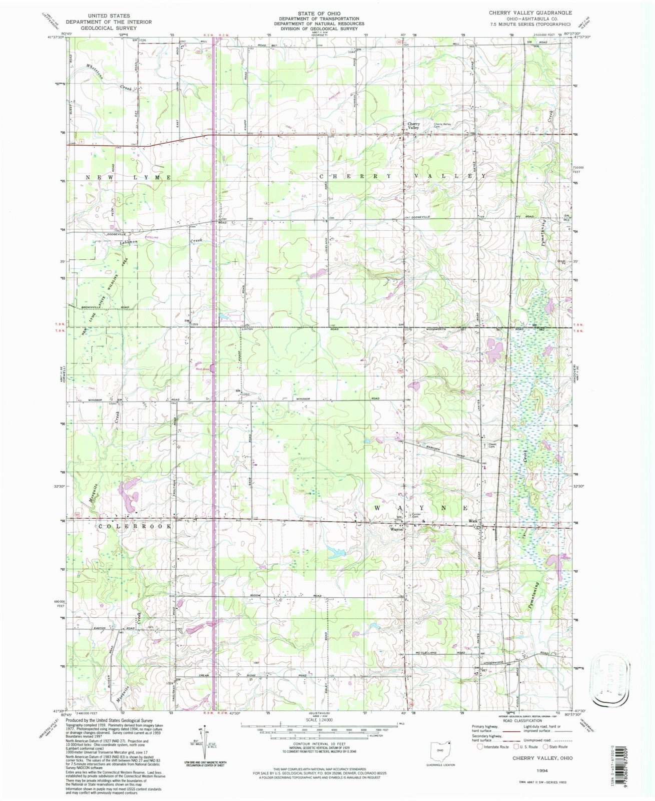
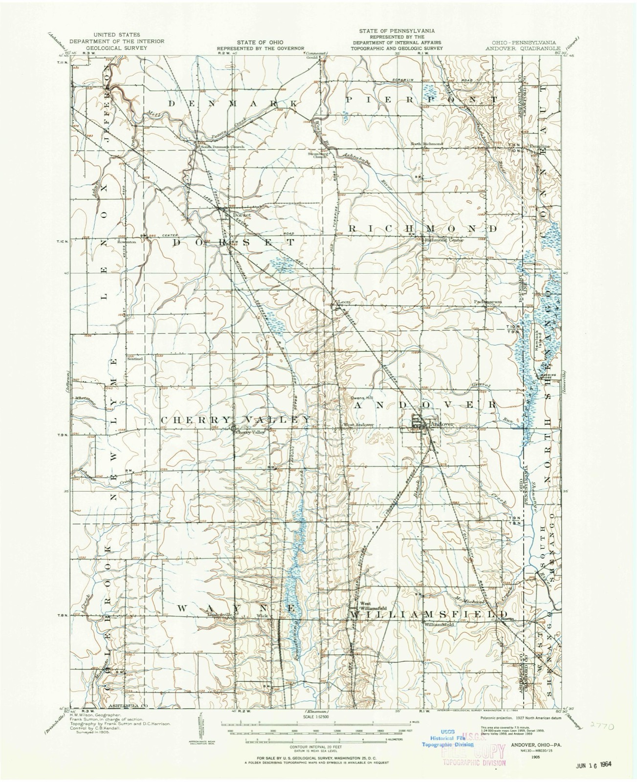
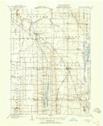
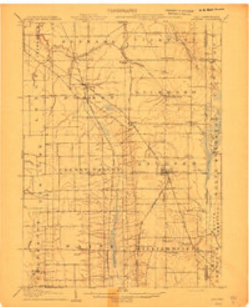
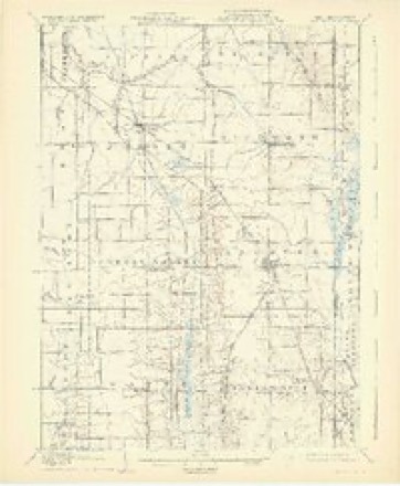
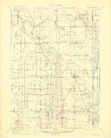
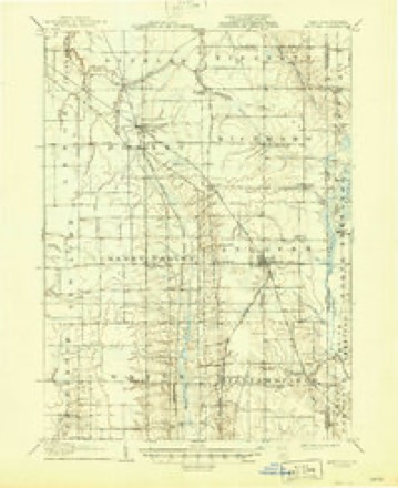
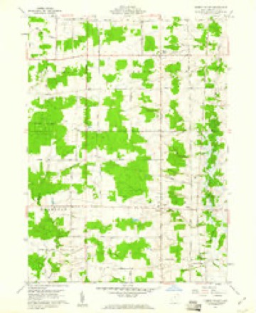
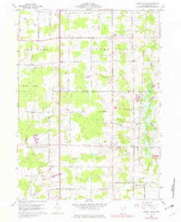
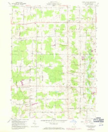
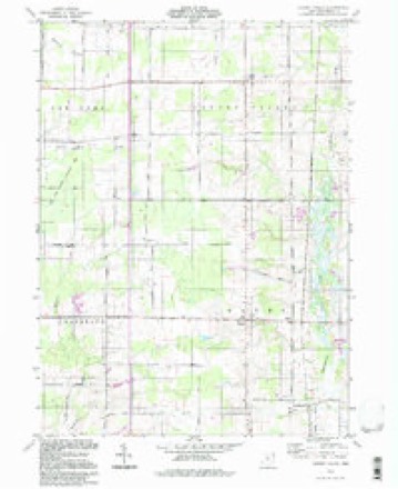
17 topographic sheets cover this place, the earliest surveyed in 1905 and the latest in 1994. It stands in Wayne Township. It lies in ZIP code area 44093. The Survey maps it on the Cherry Valley quadrangle.
Then and now
1905 to 1994The same ground, surveyed 89 years apart. Drag the handle to wipe between them. Both sheets are United States Geological Survey originals; neither has been altered.
Compare 1905 against another survey:
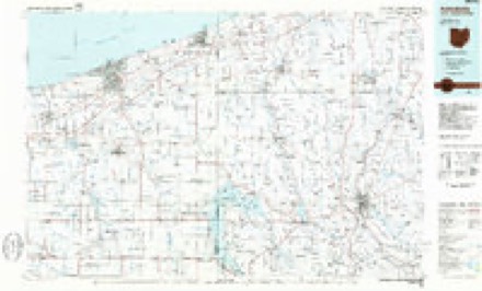
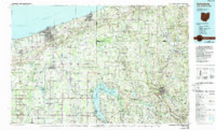
Topographic sheets covering this place
17 sheetsMatched by testing this settlement's coordinate against the published boundary of every sheet in the United States Geological Survey's historical collection. Each opens the scanned sheet at the Survey.
- 1905 USGS Andover quadrangle1:62500
- 1905 USGS Andover quadrangle1:48000
- 1905 USGS Andover quadrangle1:62500
- 1907 USGS Andover quadrangle1:62500
- 1907 USGS Andover quadrangle1:62500
- 1907 USGS Andover quadrangle1:62500
- 1907 USGS Andover quadrangle1:62500
- 1956 USGS Cleveland quadrangle1:250000
- 1956 USGS Cleveland quadrangle1:250000
- 1956 USGS Cleveland quadrangle1:250000
- 1959 USGS Cherry Valley quadrangle1:24000
- 1959 USGS Cherry Valley quadrangle1:24000
- 1959 USGS Cherry Valley quadrangle1:24000
- 1962 USGS Cleveland quadrangle1:250000
- 1986 USGS Ashtabula quadrangle1:100000
- 1986 USGS Ashtabula quadrangle1:100000
- 1994 USGS Cherry Valley quadrangle1:24000




Specimens collected nearby
12 of 86 shownMuseums hold 86 specimens collected within 10 miles of Wick between 1895 and 1974: 70 Animalia, 9 Fungi, 7 Plantae. 12 distinct Species records are shown. Collected by Bogue, E.E., C. B. Hellquist, Davis, H.A.; Davis, T. and others. Each is a physical object with a catalogue number, and each entry opens the museum's record. This is what was collected and kept, not a survey of what lives here - nothing can be concluded from a species being absent.
| Image | Species | Year | Collected by | Where, as recorded |
|---|---|---|---|---|
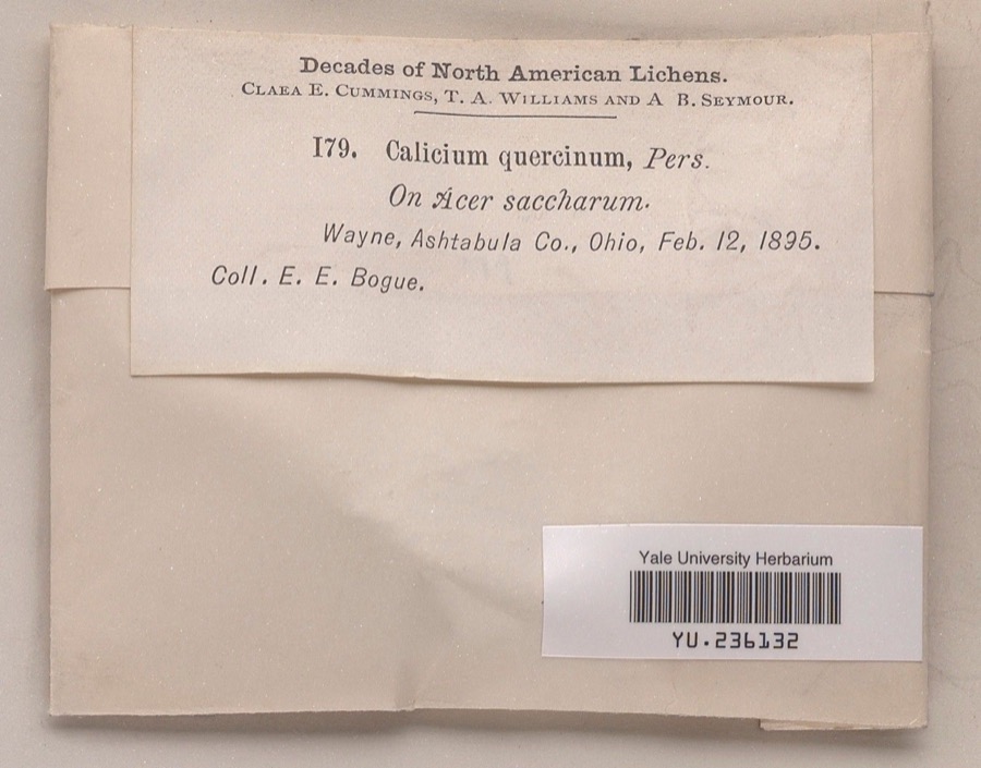 | Calicium quercinum Pers. | 1895 | Ernst E. Bogue | |
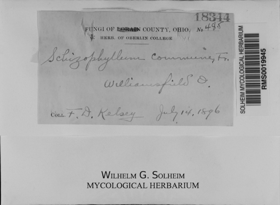 | Schizophyllum commune Fr. | 1896 | F. D. Kelsey | Williamsfield.; 41.533387 -80.570629 |
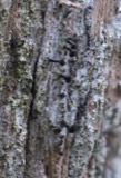 | Calicium lenticulare Ach. | 1895 | E. E. Bogue | Wayne |
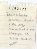 | Dendroica discolor discolor (Vieillot, 1809) | 1895 | Geo W. Dean | Wayne |
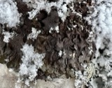 | Melanohalea olivacea (L.) O.Blanco, A.Crespo, Divakar, Essl., D.Hawksw. & Lumbsch | 1895 | Bogue, E.E. | Wayne |
 | Sturnella magna magna (Linnaeus, 1758) | 1895 | Geo W. Dean | Wayne |
| Araneae | 1901 | G.W. Peckham | ||
 | Campostoma anomalum anomalum | 1928 | Hine, J. S. (James Stewart) & Walker, C. F. (Charles F.) | Pymatuning Creek, near Wick, ~5.4 mi NE of Gustavus, Wayne township |
 | Catostomus commersonii (Lacepède, 1803) | 1928 | Hine, J. S. (James Stewart) & Walker, C. F. (Charles F.) | Pymatuning Creek, near Wick, ~5.4 mi NE of Gustavus, Wayne township |
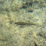 | Chrosomus erythrogaster (Rafinesque, 1820) | 1928 | Hine, J. S. (James Stewart) & Walker, C. F. (Charles F.) | Pymatuning Creek, near Wick, ~5.4 mi NE of Gustavus, Wayne township |
 | Clinostomus elongatus (Kirtland, 1840) | 1928 | Hine, J. S. (James Stewart) & Walker, C. F. (Charles F.) | Pymatuning Creek, near Wick, ~5.4 mi NE of Gustavus, Wayne township |
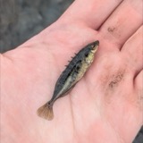 | Culaea inconstans (Kirtland, 1840) | 1928 | Hine, J. S. (James Stewart) & Walker, C. F. (Charles F.) | Pymatuning Creek, near Wick, ~5.4 mi NE of Gustavus, Wayne township |
All 86 specimens within 10 miles, at the Global Biodiversity Information Facility.
Mines and quarries nearby
1 within 5 milesThe federal mineral resources record lists 1 working within 5 miles of Wick: 1 unknown. None of them still produces. What was taken out: Sand and Gravel, Construction. Distance is straight-line from the map coordinates, so a quarry counted here may appear on a neighbouring settlement's page as well.
| Where | Site | Commodity | Status | Recorded |
|---|---|---|---|---|
| Kinsman S&G Pit | Sand and Gravel, Construction | Unknown |
Storms nearby
1 since 2017The National Weather Service names Wick in 1 storm report between 2017 and 2017: 1 tornado. No death or injury is recorded in these reports. Each account below is quoted exactly as the forecast office filed it, from the NOAA Storm Events Database, and each date opens the federal record of that event.
| When | Event | Place named | Harm | What the report says |
|---|---|---|---|---|
| November 2017 | Tornado (EF2) | Wick | $1,500,000 | An EF0 tornado touched downed in a field in rural Wayne Township near the southern border of Ashtabula County. The initial touchdown occurred along Hayes Road about half way between U.S. Route 322 and the county line. A few trees were downed in the area. The tornado continued east northeast across mainly farm land while quickly intensifying to EF1 intensity. The tornado eventually reached the Williamsfield area and crossed State Route 7 just south of its intersection with U.S. Route 322. It then intensified to EF2 strength and roughly followed U.S. 322 for close to two miles. The tornado then took a turn to the northeast as it crossed Simons South Road and lifted just as it reached the Pennsylvania state line. The worst damage was observed along U.S. 322 east of State Route 7. Around 20 properties were affected by the tornado. At least four homes were destroyed with eight more sustaining major damage. The other homes along the damage path sustained lesser amounts of damage. The four destroyed homes were all within a third of mile from each other on U.S. 322. A couple garages along U.S. 322 were also leveled and tree damage was extensive. Debris was observed scattered in fields across the area. The damage path was over six and a half miles in length and up to 200 yards in width. It took several days for power to be restored in the Williamsfield area. No injuries were reported. |
Nearest settlements
The eight closest, with where each one stands in the county. Distances are straight-line, computed from the Geographic Names Information System coordinates.
| Map | Place | Distance | Sheets |
|---|---|---|---|
| Wayne | 1.0 miles | 17 | |
| West Williamsfield | 2.1 miles | 18 | |
| Mann | 4.0 miles | 17 | |
| Williamsfield | 4.1 miles | 18 | |
| Cherry Valley | 5.1 miles | 17 | |
| West Andover | 5.3 miles | 18 | |
| Simons | 6.1 miles | 18 | |
| Colebrook | 6.1 miles | 13 |
Elsewhere
Matched on this settlement's Geographic Names Information System number rather than its name, so it cannot be a different place of the same name in another state.
| Wikipedia article on Wick | An encyclopaedic summary. Its text is share-alike, so it is linked here rather than copied. |
| Wikidata item Q24900975 | The structured record the population and elevation above come from. Public domain (CC0). |
Provenance
This settlement is recorded in the Geographic Names Information System as feature 1047893. The sheet list is computed by point-in-boundary test against the United States Geological Survey's historical topographic inventory. Both are works of the United States government and carry no copyright under 17 U.S.C. 105.
Specimens. Global Biodiversity Information Facility (GBIF), https://www.gbif.org/. Only records licensed CC0 or CC BY are used. Records licensed CC BY-NC are excluded because this site carries advertising. Images are checked individually and any whose licence is non-commercial, no-derivatives or unreadable is refused.
Mines and quarries. USGS Mineral Resources Data System (MRDS) https://mrdata.usgs.gov/mrds/ A work of the United States government, no copyright under 17 U.S.C. 105.
Storms. NOAA National Centers for Environmental Information, Storm Events Database https://www.ncei.noaa.gov/stormevents/ A work of the United States government, no copyright under 17 U.S.C. 105. Narratives are quoted verbatim from the National Weather Service report and are not edited or summarised.