 Block
Westfall, Ohio
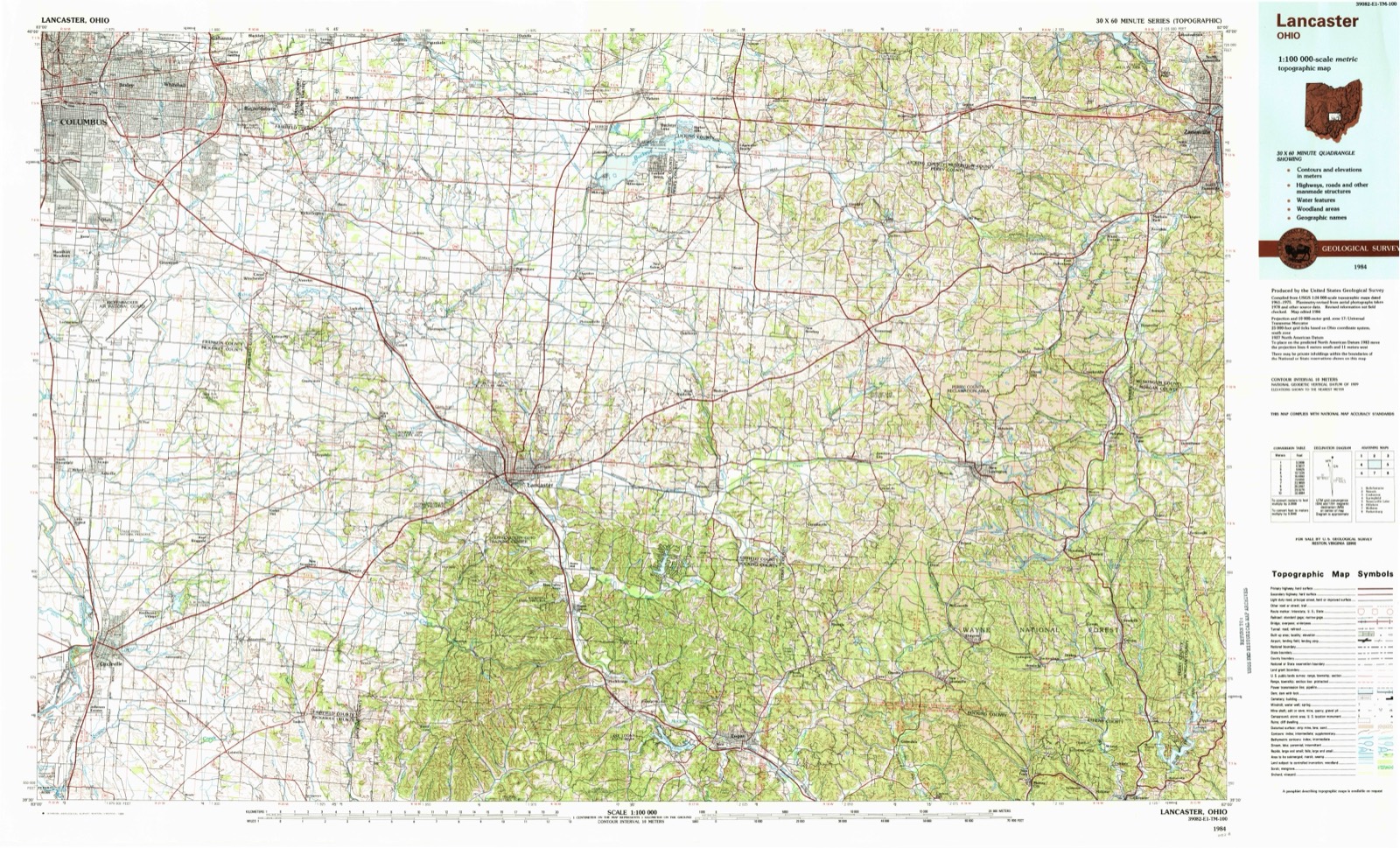
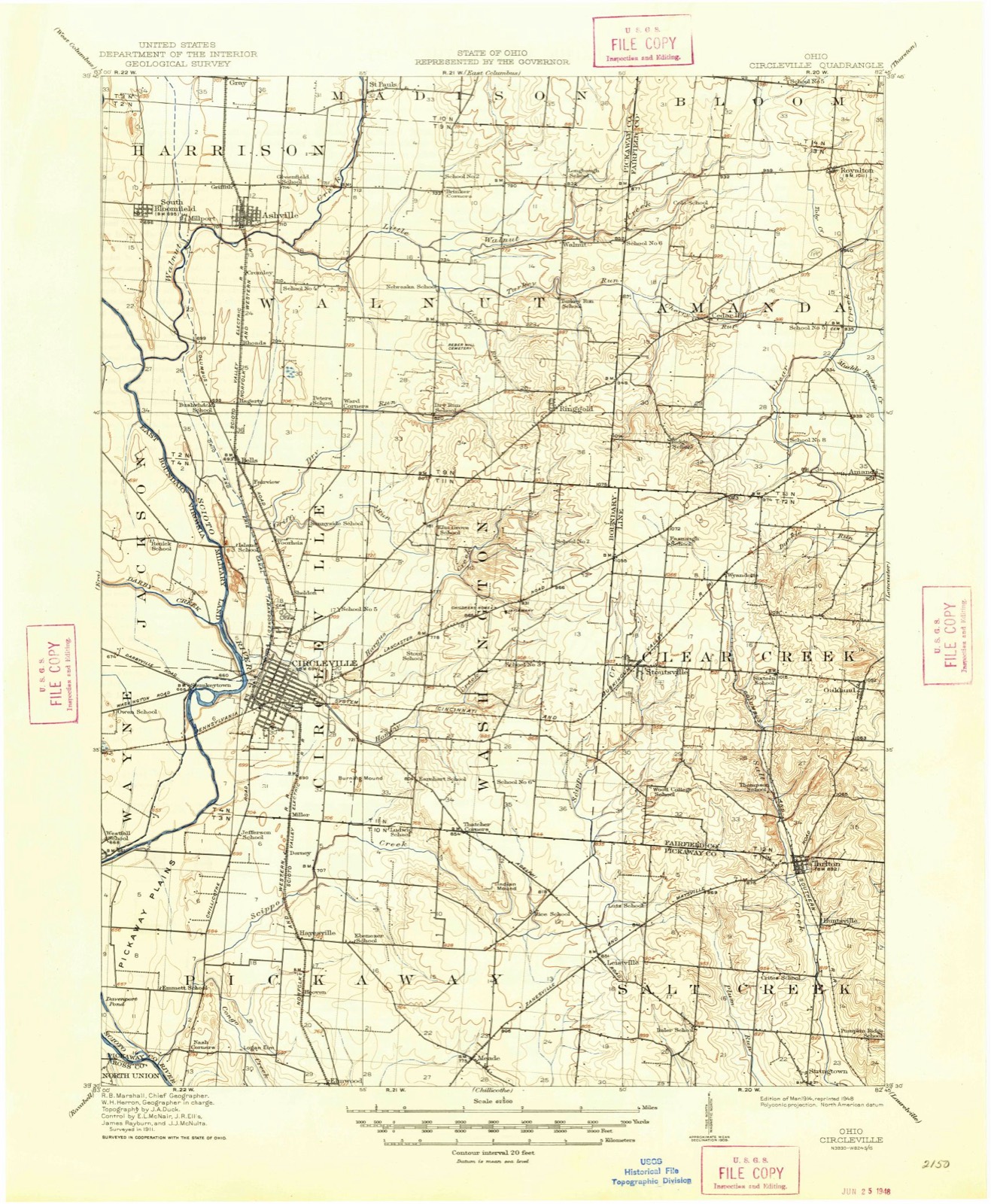
13 topographic sheets cover this place, the earliest surveyed in 1914 and the latest in 1984. It stands in Wayne Township. It lies in ZIP code area 43113. It stands on Lick Run. The Survey maps it on the Circleville quadrangle.
Then and now
1914 to 1984The same ground, surveyed 70 years apart. Drag the handle to wipe between them. Both sheets are United States Geological Survey originals; neither has been altered.
On record in Westfall
Buildings and businesses the archive holds for this place. Each opens its own page, with the source record it came from.
On the National Register within a mile 2 records
The National Register names another town for these. They stand within one mile of this settlement's coordinate.
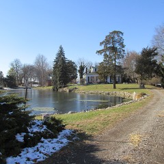 Horsey-Barthelmas Farmlisted 1980 · 0.6 miles away
- Fleming-Hoffman Farmlisted 2022 · 0.8 miles away
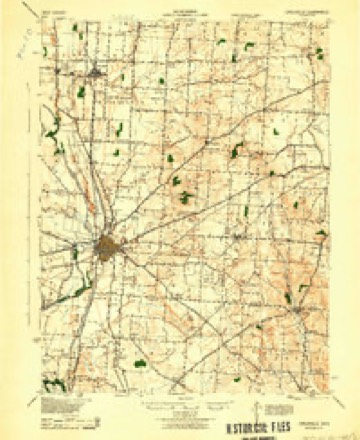
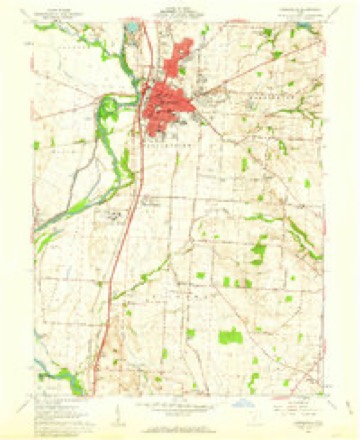
Topographic sheets covering this place
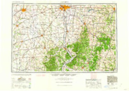
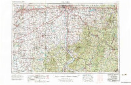
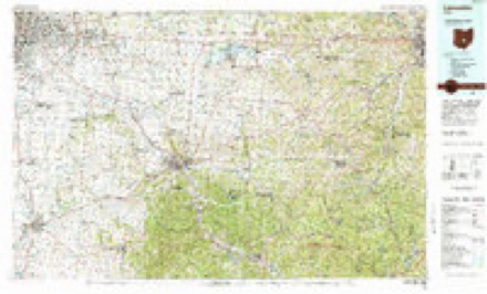
8 surveys from 13 printed sheetsMatched by testing this settlement's coordinate against the published boundary of every sheet in the United States Geological Survey's historical collection. Each opens the scanned sheet at the Survey.
- 1914 USGS Circleville quadrangle1:62500
- 1943 USGS Circleville quadrangle1:62500
- 1947 USGS Columbus quadrangle1:250000
- 1961 USGS Circleville quadrangle1:24000, 5 printings
- 1961 USGS Columbus quadrangle1:250000
- 1962 USGS Columbus quadrangle1:250000
- 1967 USGS Columbus quadrangle1:250000, 2 printings
- 1984 USGS Lancaster quadrangle1:100000
In the county-history sources
13,728 words on this townshipHistory of Pickaway County, Ohio and Representative Citizens, published 1906 names this settlement in its chapter on Wayne Township. These are the passages that mention it, exactly as the scans read.
The township lies west of the Scioto River and north of Ross County and is bounded on the north by Jackson township and on the west by Deer Creek township. The Scioto River forms its eastern boundary, dividing it from Circleville and Pickaway townships. Plum Creek, the most important water course traversing the township, has its source in Jackson township, enters Wayne near its northwestern corner, flows in a southeasterly direction across the township and empties into the Scioto River at Westfall. The southwestern portion of the township is watered by Yellow Bud and Wolf Creeks. The Ohio Canal crosses from the east to the west side of the Scioto River in the northeast corner of the township, opi>osite the city of Circleville, and then continues through the township along the same course as the Scioto River. Several miles below Circleville in Wayne township, the State constructed important works in connection with the Ohio Canal. These consisted of the State dam across the Scioto River and the large reservoir, which was used as a feeder for the
Passage source: History of Pickaway County, Ohio and Representative Citizens, published 1906.
The settlement of Wayne township by the whites began about 179S. One of the first settlers, who may with propriety be called the pioneer, was William King, a Pennsylvanian, who early in life removed to Bourbon County, Kentucky, where he married Sarah Green. He and his wife came to Ohio in December, 1798. and located at Westfall in Wayne township among the Indians. Both Mr. King and wife were of Quaker ancestry and lived among their red-skinned neighbors without friction. In after years he established a ferry at Westfall. It is said that William King was the first justice of the peace of Wayne township. He had five children, of whom Jemima married Titus Dungan. son of John and Mary (Titus) Dungan.
Passage source: History of Pickaway County, Ohio and Representative Citizens, published 1906.
Henry Kirkendall, who was a Virginian, 'came to the Scioto Valley in 1798 of 1799 and located on Evans Prairie. James Thompson from Hampden County, Virginia, and Fergus Moor came here about 1S02. The latter, who was an Irishman, came to America before the War of the Revolution and immediately enlisted with the Americans. He fought some five years and at the close of the war located at Chillicothe. He is said to have laid the first shingle roof in that citv. using wooden pins to fasten the shingles in place. While there, he bought some propertv surrounding the village of Westfall and in 1802 moved upon the property. Thomas Wiggins, William Owens, Clement Thomas, John Fleming, J. W. Brown and the McCollisters were among the early settlers, while John Darby, George Barthelmas and the Mays came a little later. Other early settlers in the township were the following: Andrew Ducks, William Oliphant, Thomas McDonald, Balithe Lynch, Huldah Smith, James Quick, John McFaclden, Cloudesbury Warren, Daniel and Powell Fine, Abraham Leonard, James and William Curry, John Crull, David Evans, Derickson Waples, Fielding and William Atchison, Isaac Williams, John and George M. Peters, Josiah Bivens, Isaac, John and Joseph Pancake, Daniel Whitesel, John Chipman, Philip McNemar, John Bond, Samuel Orison, Isaac Bowen. John Hubbard, Pritchard Mills, Stephen and Arterbridge Plorsev, Abraham Stipp, Thomas and Henry Bowdell, Jacob Thorp, Samuel Smith, James, David and John Sisk, Robert and William Campbell, Aaron Sullivan, William Foreman, Dr. Prentiss Park, Dr. Potts and Theophilus Williams.
Passage source: History of Pickaway County, Ohio and Representative Citizens, published 1906.
Machine-read from a century-old scan, so expect the errors a machine makes: misspelled names, dropped words, stray characters.
Read the whole chapter on Wayne Township - it names this place 5 more 5 times.
Specimens collected near this place
12 of 2,756 shownRegional context, not property-specific evidence. Museums hold 2,756 specimens collected within 10 miles of Westfall between 1829 and 1975: 2,669 Animalia, 75 Plantae, 11 Fungi, 1 Protozoa. 12 distinct Species records are shown. Collected by A. Spreitzer, A. Spreitzer & W. LeGrande, A. White, M. Trautman, T. Cavender and others. Each is a physical object with a catalogue number, and each entry opens the museum's record. This is what was collected and kept, not a survey of what lives here - nothing can be concluded from a species being absent.
| Image | Species | Year | Collected by | Where, as recorded |
|---|---|---|---|---|
 | Rallus elegans elegans Audubon, 1834 | 1829 | Florence, A. (Arledge) | Col Anderson farm 6 1/2 mi west of Circleville, Pickaway, Ohio, USA |
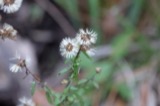 | Symphyotrichum dumosum (L.) G.L.Nesom | 1845 | L. L. Pontius | 3 mi E of Kingston. |
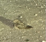 | Caprimulgus vociferus vociferus A.Wilson, 1812 | 1876 | Jones, H. (Howard) | Darby Creek, Circleville, Pickaway, Ohio, USA |
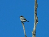 | Lanius ludovicianus migrans W.Palmer, 1898 | 1877 | Jones, H. (Howard) | Goose Pond, near Circleville, Pickaway, Ohio, USA |
 | Hirundo rustica erythrogaster Boddaert, 1783 | 1879 | Jones, H. (Howard) | near Circleville, Pickaway, Ohio, USA |
 | Bartramia longicauda (Bechstein, 1812) | 1880 | Jones, H. (Howard) | near Circleville, Pickaway, Ohio, USA |
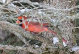 | Cardinalis cardinalis (Linnaeus, 1758) | 1880 | Mearns, E.A. | Circleville near Scioto River. |
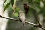 | Empidonax virescens (Vieillot, 1818) | 1880 | Jones, H. (Howard) | Niles Woods, near Circleville, Pickaway Co., Ohio |
 | Setophaga ruticilla (Linnaeus, 1758) | 1880 | Jones, H. (Howard) | near Circleville, Pickaway, Ohio, USA |
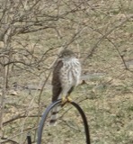 | Accipiter striatus Vieillot, 1808 | 1881 | Jones, H. (Howard) | Scioto River bottoms near Circleville, Pickaway, Ohio, USA |
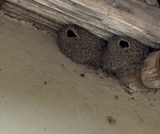 | Petrochelidon pyrrhonota (Vieillot, 1817) | 1881 | Jones, H. (Howard) | near Circleville, Pickaway, Ohio, USA |
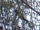 | Piranga olivacea (J.F.Gmelin, 1789) | 1881 | Jones, H. (Howard) | near Circleville, Pickaway, Ohio, USA |
All 2,756 specimens within 10 miles, at the Global Biodiversity Information Facility.
Mines and quarries near this place
2 within 5 milesRegional context, not property-specific evidence. The federal mineral resources record lists 2 workings within 5 miles of Westfall: 1 past producer, 1 producer. 1 still produces. What was taken out: Sand and Gravel, Construction. Distance is straight-line from the map coordinates, so a quarry counted here may appear on a neighbouring settlement's page as well.
| Where | Site | Commodity | Status | Recorded |
|---|---|---|---|---|
| Raleigh Spradlin Sand & Gravel Pit | Sand and Gravel, Construction | Past Producer | ||
| Sturm & Dillard Pit | Sand and Gravel, Construction | Producer |
Nearest settlements
The eight closest, with where each one stands in the county. Distances are straight-line, computed from the Geographic Names Information System coordinates.
| Map | Place | Distance | Sheets |
|---|---|---|---|
| Jefferson Estates | 2.5 miles | 13 | |
| Logan Elm Village | 2.6 miles | 13 | |
| Dorney (historical) | 3.1 miles | 13 | |
| Miller (historical) | 3.1 miles | 13 | |
| Spunkeytown (historical) | 3.2 miles | 13 | |
| Squawtown (historical) | 3.5 miles | 13 | |
| Hayesville | 3.8 miles | 13 | |
| Kinderhook | 3.8 miles | 12 |
Provenance
This settlement is recorded in the Geographic Names Information System as feature 1065463. The sheet list is computed by point-in-boundary test against the United States Geological Survey's historical topographic inventory. Both are works of the United States government and carry no copyright under 17 U.S.C. 105.
Specimens. Global Biodiversity Information Facility (GBIF), https://www.gbif.org/. Only records licensed CC0 or CC BY are used. Records licensed CC BY-NC are excluded because this site carries advertising. Images are checked individually and any whose licence is non-commercial, no-derivatives or unreadable is refused.
Mines and quarries. USGS Mineral Resources Data System (MRDS) https://mrdata.usgs.gov/mrds/ A work of the United States government, no copyright under 17 U.S.C. 105.