BlockBefore
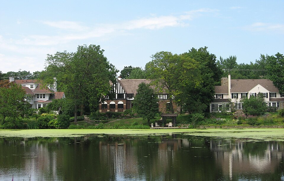
Photograph of Shaker Village Historic District
Photograph by Spencer, CC BY-SA 2.5. Via Wikimedia Commons.

Shaker Village Historic District (Boundary Increase)

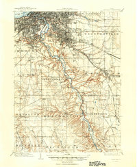
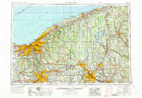
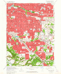
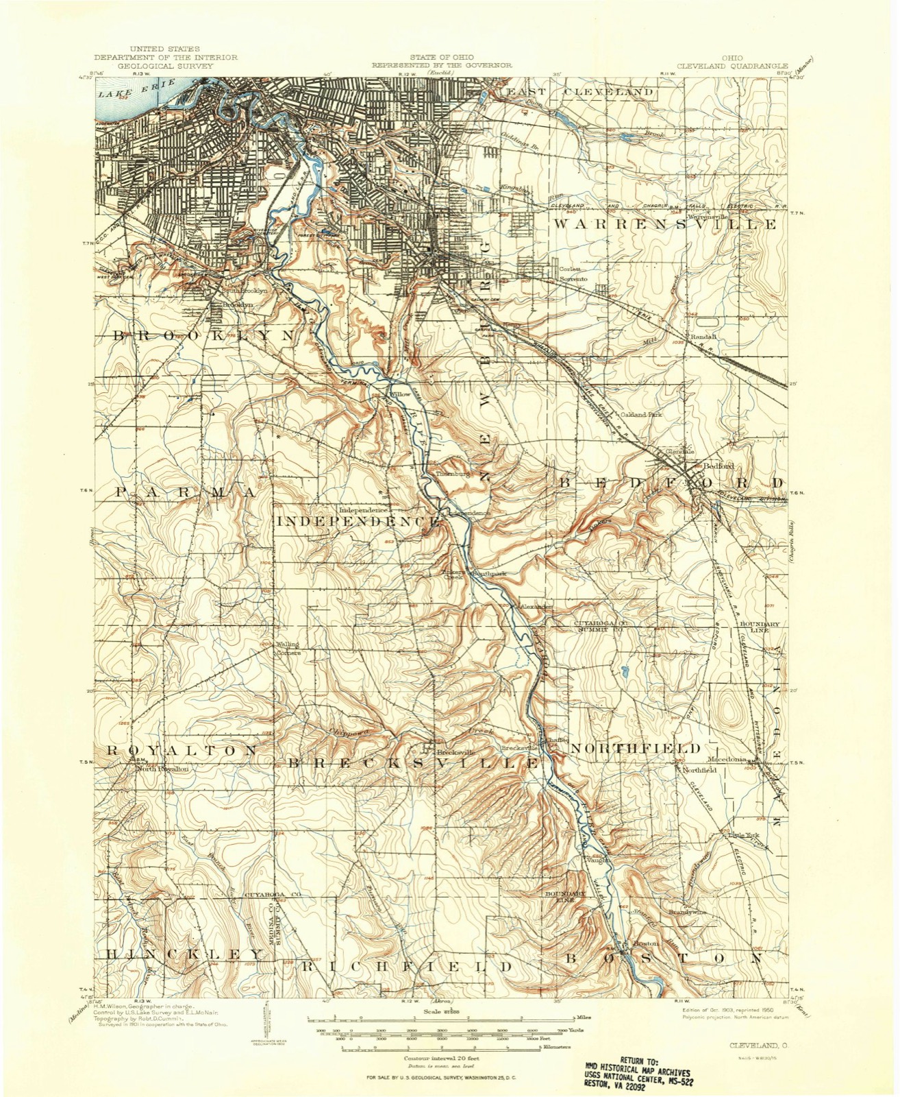
Listed on the National Register of Historic Places in 2001. 8 historic topographic surveys show this location, the earliest from 1903.

From the record

One of 426 National Register listings published here for Cuyahoga County · listed in 2001 · category: District.

Sources: the case file at the National Archives · the National Register database, National Park Service · the Wikipedia article
The listing

Then and now

1903 to 1994

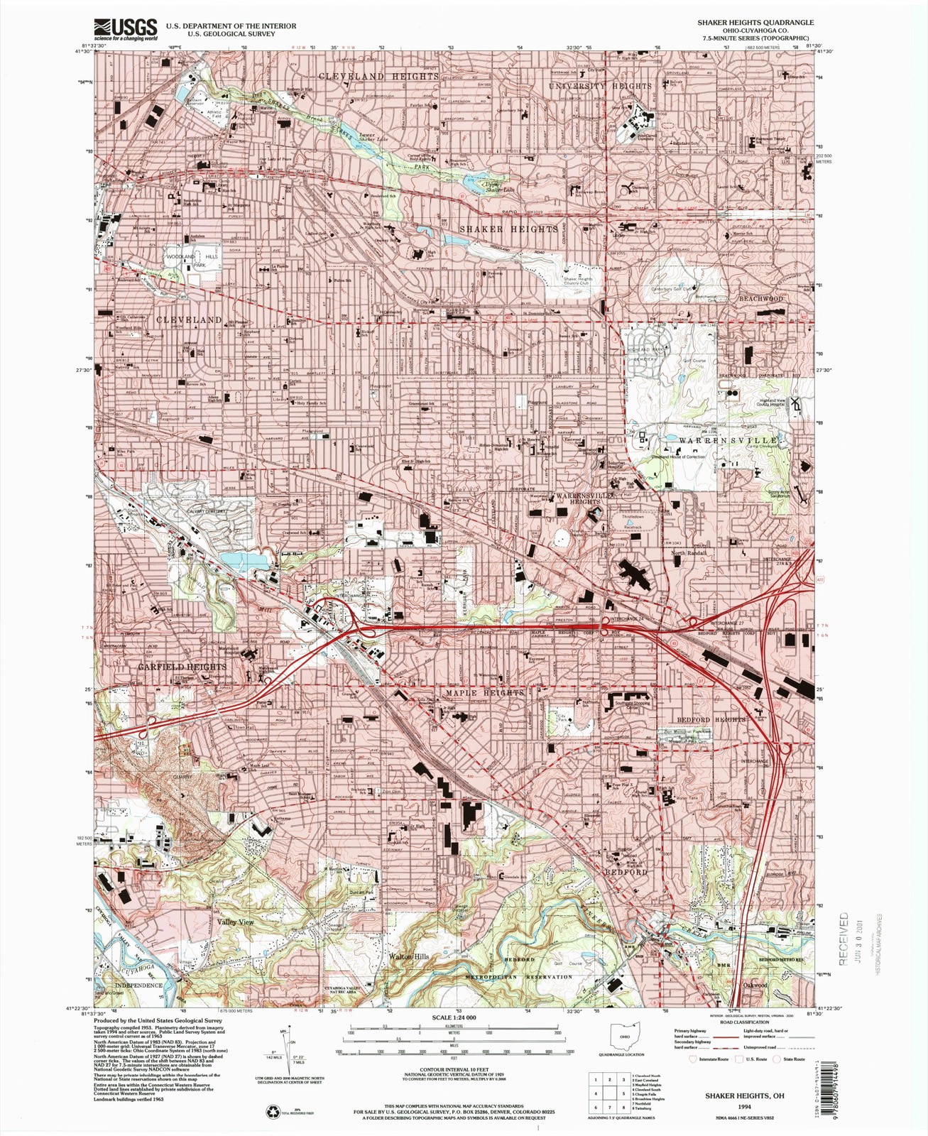
The ground this property stands on, surveyed 91 years apart. Drag the handle to wipe between them. Both sheets are United States Geological Survey originals; neither has been altered.

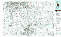
Topographic sheet covering Shaker Village Historic District (Boundary Increase), surveyed 1994
Topographic sheet covering Shaker Village Historic District (Boundary Increase), surveyed 1903

Maps showing this location

8 surveys

United States Geological Survey topographic sheets whose coverage includes this point. Matched by taking the middle of the area the National Park Service maps for this listing, then testing that coordinate against the published boundary of every sheet.

Listed places nearby

6 within 8 miles

Other National Register properties close enough to walk or drive between, ordered by distance from this one. Both positions come from the same geocoding pass that matched these properties to their map sheets.

Photograph PropertyDistance Listed
Moses Warren House0.3 miles1974
Tower East0.9 miles2014
Commodore Apartment Building1.0 miles1983
Shaker Village Historic District1.1 miles1984
Beehive School1.5 miles1984
Jacob Strong House1.9 miles2023

Sources for this property

National Archives recordThe nomination case file for reference 00001557 in Record Group 79.
Wikipedia articleCommunity-written account of this property, licensed CC BY-SA.
Cuyahoga CountyAll 426 listed properties in this county.

Provenance

  • Listing record. National Park Service National Register of Historic Places, listed-properties dataset, current to 2026-05-22.
  • Map join. Address geocoded through the United States Census geocoder, then tested against the published boundary of every sheet in the USGS Historical Topographic Map Collection.
  • How this page is made. Listing fields come from federal records; map-sheet coverage is a labelled coordinate-to-boundary calculation, not a source-field claim.