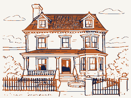
Listed on the National Register of Historic Places in
1974. A historic map-sheet match is not published yet. The record needs a coordinate-quality review before it can be joined to a sheet boundary.
From the record
one of 338 National Register listings in Cuyahoga County · listed in 1974 · category: Building · one of 3 National Historic Landmarks in Cuyahoga County.
National Register reference number.74001462- the number the National Park Service assigned this property when it was listed, and the key its nomination file is catalogued under at the National Archives.
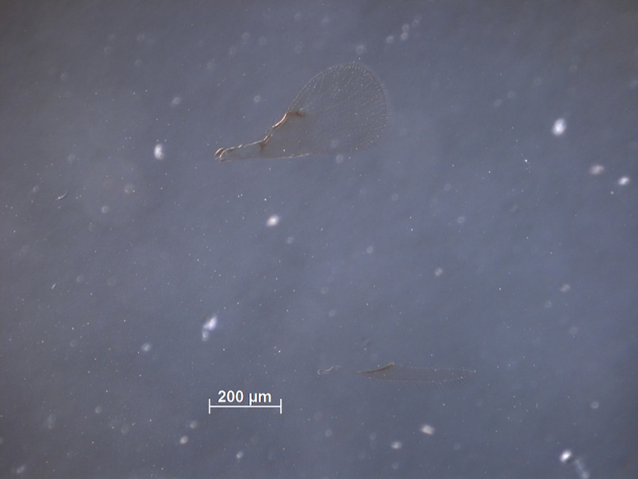
Specimens collected near this property
12 of 4,695 shown
Regional context, not property-specific
evidence. Museums hold 4,695 specimens
collected within 10 miles of Warren, Moses, House between 1850 and
1975: 4,243 Animalia, 232 Fungi, 137 Plantae, 76 Protozoa, 5 Unrecorded, 1 Chromista, 1 incertae sedis. 12 distinct Species records are shown.
Collected by A. D. Huryn, A. D. Selby, A. Hall and others. Each is a
physical object with a catalogue
number, and each entry opens the museum's record. This is what was
collected and kept, not a survey of what lives here - nothing can be
concluded from a species being absent.
Regional context, not property-specific
evidence. The National Weather Service names
Shaker Heights, the town this property stands in, in 1 storm report between 1993 and 1993: 1 hail.
No death or injury is recorded in these reports. Each account below is quoted exactly as the forecast office
filed it, from the NOAA Storm Events Database, and each date
opens the federal record of that event.
No historic map-sheet match is published
for this property yet. That does not mean no map exists. This record needs
a coordinate-quality review before it can be joined to a sheet boundary.
Browse the county's mapped places while that work is
pending.
From the nomination file
1,728 words on record
When this property was proposed for the
National Register, someone wrote the case for it: what the building is,
and why it matters. That document is a federal record in the public domain.
It is quoted below word for word, never summarised. The text was read off the scanned case file by machine, so the
occasional stray character is the recogniser's and the 1970s
typewriter's.
Statement of significance
Moses Warren was born in 1760 in Westboro, Massachusetts. At Reserve. community, founded there on Doan Brook in 1822. The community flour- In spite of the alterations, the house retains sufficient integrity to 1817 Commerce Architecture Military losophy Aboriginal Prehistoric Transportation Conservation Religion/Phi Communications Music Science Agriculture Literature Theater Landscape Social/Human- itarian Sculpture Industry Shaker Heights. The township was organized in 18l6. As Mrs.Daniel Warren was Daniel was the first permanent settler of Warrensville Township.In Political and namesakes of Warrensville Township, the Moses Warren house is Moses and Daniel were township officers.Moses was a supervisor of Engineering unquestionably the most important early dwelling in Shaker Heights.
1808 Moses Warren accompanied Daniel and his family to Painesville, one of the four township road districts created in 18l6.Daniel served Because of its age and its associations with the earliest settlers ville Township and is the oldest existing house in the present city of the age of 16 he enlisted in the Revolutionary army.Warren's son support these facts. nificanceof the house is historical rather than architectural. the privilege of naming the township.She named it Warrensville.Both Moses Warren died in l83l.His other sons were William and Warrensville is best known as the home of the North Union Shaker Shaker Heights.Because of the building alterations, the primary sig- the first frame house in the township.
Invention as justice of the Peace.He was a brick maker and made the brick decided to join his son in Ohio.He settled in the township in 18l5. Cuyahoga County the following year and built a log cabin.
Quoted from the National Register nomination
for reference 74001462, 12 pages, held by the National Archives in Record
Group 79. See the
catalogue record.
Listed places nearby
6 within 8 miles
Other National Register properties close
enough to walk or drive between, ordered by distance from this one. Both
positions come from the same geocoding pass that matched these properties
to their map sheets.
Listing record. National Park Service National Register of Historic Places, listed-properties dataset, current to 2026-05-22.
Map join. Address geocoded through the United States Census geocoder, then tested against the published boundary of every sheet in the USGS Historical Topographic Map Collection.
How this page is made. Listing fields come from federal records; map-sheet coverage is a labelled coordinate-to-boundary calculation, not a source-field claim.
Specimens. Global Biodiversity Information Facility (GBIF), https://www.gbif.org/. Only records licensed CC0 or CC BY are used. Records licensed CC BY-NC are excluded because this site carries advertising. Images are checked individually and any whose licence is non-commercial, no-derivatives or unreadable is refused.
Storms. NOAA National Centers for Environmental Information, Storm Events Database https://www.ncei.noaa.gov/stormevents/ A work of the United States government, no copyright under 17 U.S.C. 105. Narratives are quoted verbatim from the National Weather Service report and are not edited or summarised.
 Block
Block