 Block
BlockFrom the record
one of 338 National Register listings in Cuyahoga County · listed in 2014 · category: Building · one of 3 National Historic Landmarks in Cuyahoga County.
Sources: the National Register database, National Park Service
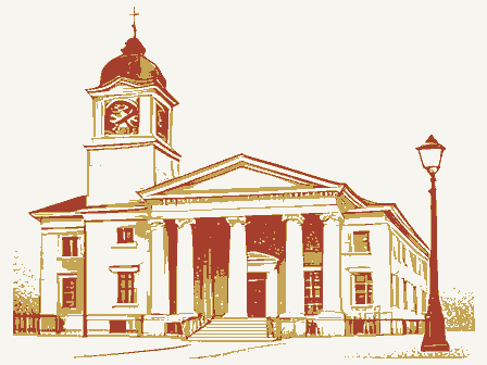
Listed on the National Register of Historic Places in 2014. A historic map-sheet match is not published yet. The record needs a coordinate-quality review before it can be joined to a sheet boundary.
one of 338 National Register listings in Cuyahoga County · listed in 2014 · category: Building · one of 3 National Historic Landmarks in Cuyahoga County.
Sources: the National Register database, National Park Service
Regional context, not property-specific evidence. Museums hold 4,989 specimens collected within 10 miles of Tower East between 1850 and 1975: 4,538 Animalia, 232 Fungi, 136 Plantae, 76 Protozoa, 5 Unrecorded, 1 Chromista, 1 incertae sedis. 12 distinct Species records are shown. Collected by A. D. Huryn, A. D. Selby, A. Hall and others. Each is a physical object with a catalogue number, and each entry opens the museum's record. This is what was collected and kept, not a survey of what lives here - nothing can be concluded from a species being absent.
| Image | Species | Year | Collected by | Where, as recorded |
|---|---|---|---|---|
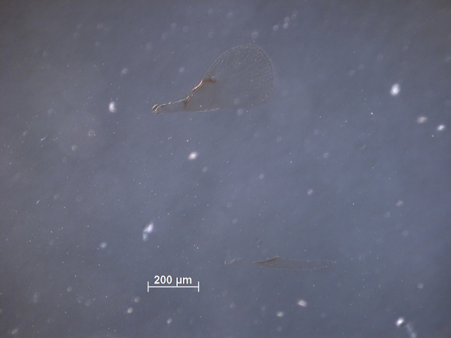 | Brachysticha fidiae Ashmead, 1895 | 1894 | F. Webster | Euclid |
 | Monilia sitophila (Mont.) Sacc. | 1894 | Seymour, Arthur Bliss | Cleveland, O. [Ohio] |
 | Osmunda claytoniana L. | 1894 | Winkler, H.J. | Cleveland. |
| Boraginaceae | 1850 | not recorded | Cleveland. | |
 | Carex canescens L. | 1850 | Illegible collector name | Cleveland. |
 | Catillaria tricolor (Lam.) Th.Fr. | 1854 | G. Dixon | Cleveland, Bousdale Hill |
 | Melanerpes carolinus (Linnaeus, 1758) | 1854 | Robert Kennicott | Cleveland |
 | Abrothallus parmeliarum (Sommerf.) Nyl., 1869 | 1860 | Mudd Wm. | Cleveland |
 | Thryothorus ludovicianus ludovicianus (Latham, 1790) | 1860 | not recorded | Cleveland |
 | Colaptes auratus luteus Bangs, 1898 | 1871 | Collector(s): unknown | Cleveland |
 | Timmia megapolitana Hedw. | 1871 | E. N. Claassen | |
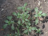 | Amaranthus blitoides S.Watson | 1874 | C. E. O. Kuntze | Cleveland |
All 4,989 specimens within 10 miles, at the Global Biodiversity Information Facility.
Regional context, not property-specific evidence. The National Weather Service names Shaker Heights, the town this property stands in, in 1 storm report between 1993 and 1993: 1 hail. No death or injury is recorded in these reports. Each account below is quoted exactly as the forecast office filed it, from the NOAA Storm Events Database, and each date opens the federal record of that event.
| When | Event | Place named | Harm | What the report says |
|---|---|---|---|---|
| September 1993 | Hail | Shaker Heights | $50,000 | Large hail was reported in Shaker Heights where trees were also downed. Numerous large trees limbs were downed in North Olmstead. |
No historic map-sheet match is published for this property yet. That does not mean no map exists. This record needs a coordinate-quality review before it can be joined to a sheet boundary. Browse the county's mapped places while that work is pending.
Other National Register properties close enough to walk or drive between, ordered by distance from this one. Both positions come from the same geocoding pass that matched these properties to their map sheets.
| Photograph | Property | Distance | Listed |
|---|---|---|---|
| Warren, Moses, House | 1.1 miles | 1974 | |
| Commodore Apartment Building | 1.8 miles | 1983 | |
| Strong, Jacob, House | 1.9 miles | 2023 | |
| Beehive School | 2.1 miles | 1984 | |
| Tremaine-Gallagher Residence | 2.7 miles | 1973 | |
| Burdick, Harold B., House | 2.9 miles | 1974 |
| National Archives record | The nomination case file for reference 14000029 in Record Group 79. |
| Cuyahoga County | All 338 listed properties in this county. |