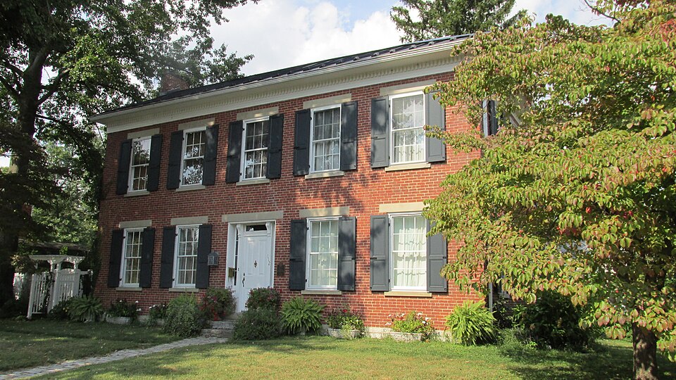
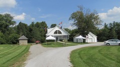
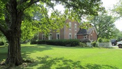
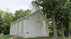
Listed on the National Register of Historic Places in
2002. A historic map-sheet match is not published yet. The record needs a coordinate-quality review before it can be joined to a sheet boundary.
From the record
one of 15 National Register listings in Clermont County · listed in 2002 · category: Building.
National Register reference number.02000704- the number the National Park Service assigned this property when it was listed, and the key its nomination file is catalogued under at the National Archives.
Regional context, not property-specific
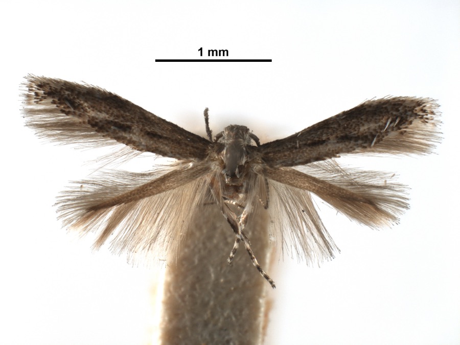
evidence. Museums hold 853 specimens
collected within 10 miles of Williams House between 1866 and
1975: 634 Animalia, 171 Fungi, 37 Plantae, 11 Protozoa. 12 distinct Species records are shown.
Collected by A JOHN, A JOHN AND R KNOTTS, A JOHN AND T RITTER and others. Each is a
physical object with a catalogue
number, and each entry opens the museum's record. This is what was
collected and kept, not a survey of what lives here - nothing can be
concluded from a species being absent.
Regional context, not property-specific
evidence. The National Weather Service names
Williamsburg, the town this property stands in, in 25 storm reports between 1994 and 2023: 12 thunderstorm wind, 8 hail, 4 flash flood, 1 flood.
No death or injury is recorded in these reports. Each account below is quoted exactly as the forecast office
filed it, from the NOAA Storm Events Database, and each date
opens the federal record of that event.
The beginning of an enhanced area of wind damage occurred when a large tree fell on to a parked vehicle on Macedonia Road north of Bethel. The neighborhood of Concord Meadow Lane had numerous trees uprooted and damage to siding and roofing of a few houses. Additional similar damage was observed on Concord Hennings Mill Road to the east of Concord Meadow Lane. Further to the northeast, several trees were uprooted along State Route 133.||Widespread tree damage was noted on the south end of Santa Barbara Drive with numerous large hardwood trees uprooted and snapped, damaging some outbuildings. Similar damage was noted just to the northeast at the Williamsburg Junior Athletic Association Fields. Roofing material was blown off, outbuildings tipped over, and metal dugout awnings were destroyed. Soccer goals were pushed downfield and over a fence. A house across the street sustained damage to its siding. Wind speeds in the Santa Barbara Drive and athletic field areas were estimated to be around 90 miles per hour.
No historic map-sheet match is published
for this property yet. That does not mean no map exists. This record needs
a coordinate-quality review before it can be joined to a sheet boundary.
Browse the county's mapped places while that work is
pending.
From the nomination file
10,668 words on record
When this property was proposed for the
National Register, someone wrote the case for it: what the building is,
and why it matters. That document is a federal record in the public domain.
It is quoted below word for word, never summarised. The text was read off the scanned case file by machine, so the
occasional stray character is the recogniser's and the 1970s
typewriter's.
Statement of significance
Areas of Significance (Mark "x" in one or more boxes for the criteria qualifying the property UA Property is associated with events that have made a significant contribution to the broad patterns of * B Property is associated with the lives of persons significant in our past. X C Property embodies the distinctive characteristics represents the work of a master, or possesses (Mark "x" in all the boxes that apply.) 1862, 1863, 1926 -A ownedby a religious institution or used for L B removed from its original location. (Complete if Criterion B is marked above) - C a birthplace or grave. - D a cemetery. - E a reconstructed building, object, or structure. - F a commemorative property. within the past 50 years. (Explain the significance of the property on one or more continuation sheets.) 9.
Quoted from the National Register nomination
for reference 02000704, 53 pages, held by the National Archives in Record
Group 79. See the
catalogue record.
Listed places nearby
3 within 8 miles
Other National Register properties close
enough to walk or drive between, ordered by distance from this one. Both
positions come from the same geocoding pass that matched these properties
to their map sheets.
Listing record. National Park Service National Register of Historic Places, listed-properties dataset, current to 2026-05-22.
Map join. Address geocoded through the United States Census geocoder, then tested against the published boundary of every sheet in the USGS Historical Topographic Map Collection.
How this page is made. Listing fields come from federal records; map-sheet coverage is a labelled coordinate-to-boundary calculation, not a source-field claim.
Specimens. Global Biodiversity Information Facility (GBIF), https://www.gbif.org/. Only records licensed CC0 or CC BY are used. Records licensed CC BY-NC are excluded because this site carries advertising. Images are checked individually and any whose licence is non-commercial, no-derivatives or unreadable is refused.
Storms. NOAA National Centers for Environmental Information, Storm Events Database https://www.ncei.noaa.gov/stormevents/ A work of the United States government, no copyright under 17 U.S.C. 105. Narratives are quoted verbatim from the National Weather Service report and are not edited or summarised.
 Block
Block