BlockBefore
Decorative drawing: a nineteenth-century public building. Not a photograph of this place.

Inter County Highway 360

Listed on the National Register of Historic Places in 2002. A historic map-sheet match is not published yet. The record needs a coordinate-quality review before it can be joined to a sheet boundary.

From the record

one of 7 National Register listings in Hocking County · listed in 2002 · category: Structure.

Sources: the case file at the National Archives · the National Register database, National Park Service

The listing

  • What is counted as historic. The nomination lists 6 structuress as contributing to the listing.
  • Address. Iles Rd., Logan, 43138
  • When was it listed? 2002-12-20
  • Category. structure
  • Also known as. Little Cities of Black Diamonds-Athens, Hocking, Perry Counties MPS
  • Township. Falls township
  • National Register reference number. 02001552 - the number the National Park Service assigned this property when it was listed, and the key its nomination file is catalogued under at the National Archives.

Fires near this property

46 since 2006

Regional context, not property-specific evidence. The federal wildfire occurrence database lists 46 fires within 5 miles of Inter County Highway 360 between 2006 and 2020, burning about 129 acres in total. None started naturally. 1 was recorded as arson. Distance is straight-line from the map coordinates, so a fire counted here may appear on a neighbouring settlement's page as well.

Reported cause Fires
Debris and open burning26
Power generation/transmission/distribution6
Recreation and ceremony5
Missing data/not specified/undetermined4
Equipment and vehicle use2
Smoking2
Arson/incendiarism1

The most recent of them, most recent first, with the day each was reported and the service that recorded it.

DateCause SizeReported by Name on the report
4 May 2017Debris and open burning1.0 acresOhio Department of Natural Resources8111
1 May 2018Debris and open burning3.0 acresWayne National ForestINBODEN
3 April 2013Debris and open burning1.5 acresOhio Department of Natural Resourcesnot named
24 April 2012Equipment and vehicle use1.0 acresOhio Department of Natural Resourcesnot named
23 April 2013Debris and open burning1.0 acresOhio Department of Natural Resourcesnot named
19 April 2019Recreation and ceremonyunder an acreOhio Department of Natural Resources15165
18 April 2017Debris and open burning1.0 acresOhio Department of Natural Resources7885
15 April 2017Debris and open burning1.0 acresOhio Department of Natural Resources7867

Every fire recorded in Hocking County

Specimens collected near this property

12 of 3,490 shown

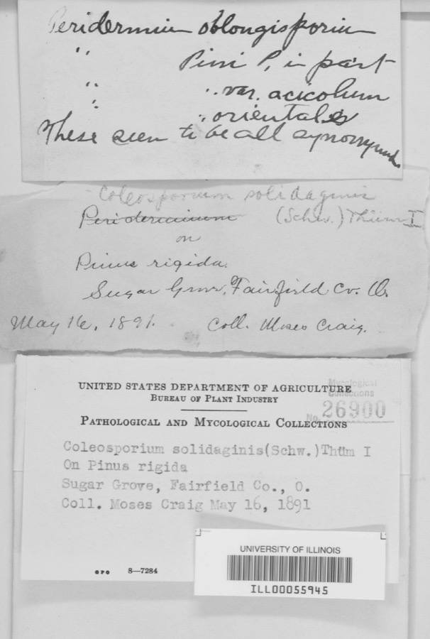
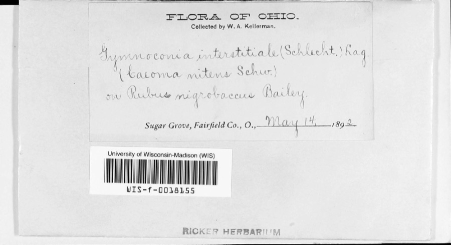
Regional context, not property-specific evidence. Museums hold 3,490 specimens collected within 10 miles of Inter County Highway 360 between 1839 and 1975: 2,396 Animalia, 629 Plantae, 414 Fungi, 32 Protozoa, 11 Bacteria, 8 Unrecorded. 12 distinct Species records are shown. Collected by ?, A VERWYST, A. L. Welden and others. Each is a physical object with a catalogue number, and each entry opens the museum's record. This is what was collected and kept, not a survey of what lives here - nothing can be concluded from a species being absent.

All 3,490 specimens within 10 miles, at the Global Biodiversity Information Facility.

Mines and quarries near this property

5 within 5 miles

Regional context, not property-specific evidence. The federal mineral resources record lists 5 workings within 5 miles of Inter County Highway 360: 5 past producers. None of them still produces. What was taken out: Brick Clay, Clay, Fire Clay (Refractory). Distance is straight-line from the map coordinates, so a quarry counted here may appear on a neighbouring settlement's page as well.

Where SiteCommodity StatusRecorded
Hocking PlantFire Clay (Refractory)Past Producer
General Hocking Clay and Shale PitClayPast ProducerSedimentary
General Hocking PlantBrick ClayPast ProducerSedimentary
Hocking PlantBrick ClayPast ProducerSedimentary
Logan MineClayPast Producer

Every working recorded in Hocking County

Storms near this property

60 of 71 shown

Regional context, not property-specific evidence. The National Weather Service names Logan, the town this property stands in, in 71 storm reports between 1994 and 2026: 47 thunderstorm wind, 10 hail, 10 flood, 3 flash flood. The reports record 10 injuries. Each account below is quoted exactly as the forecast office filed it, from the NOAA Storm Events Database, and each date opens the federal record of that event.

WhenEvent Place namedHarm What the report says
June 2006LightningLogan10 hurtTen people were injured, one seriously, from a lightning bolt that struck the outdoor pavillion they were standing under. All ten people survived.
May 2004Flash FloodLogan$40,000Fourteen homes sustained damage from high water in the Carbon Hill area. Several roads were flooded across the county.
November 2020Thunderstorm WindLogan$20,000Numerous trees were downed throughout the county.
July 2003Thunderstorm WindLogan$10,000Several trees fell on a business, causing minor damage to the building.
May 2006Thunderstorm WindLogan$8,000The roof and trusses were torn off of a garage and barn. Trees were also downed.
June 2020Thunderstorm WindLogan$7,000Numerous trees and power lines were reported knocked down.
August 2020Thunderstorm WindLogan$7,000Multiple trees were reported knocked down across the county, but most reports were from the Logan area.
May 2024Thunderstorm WindLogan$5,000Several trees were downed across southern Hocking County.
April 2019Thunderstorm WindLogan$5,000Numerous trees were knocked down throughout the county, including in Logan.
July 2013Thunderstorm WindLogan$5,000Multiple trees were down around Logan due to thunderstorm winds.
April 2001Thunderstorm WindLogan$5,000A thunderstorm produced strong winds which knocked down a few trees.
September 2000Thunderstorm WindLogan$5,000Trees down in several locations across the county.
July 1997Thunderstorm WindLogan$5,000Numerous trees knocked down.
July 1997Thunderstorm WindLogan$5,000Several trees downed.
July 1994Thunderstorm WindLogan$5,000Trees were downed south of Logan on State Route 93.
July 1994Thunderstorm WindLogan$5,000Trees were downed, especially on the north and east side of town.
February 2009Thunderstorm WindLogan$4,000Numerous trees and power lines were downed.
May 2025Thunderstorm WindLogan$3,000Several trees were downed.
May 2017Thunderstorm WindLogan$3,000Several trees were downed in the Logan area.
December 2013Thunderstorm WindLogan$3,000Several trees were downed county wide due to thunderstorm winds.
August 2011Thunderstorm WindLogan$3,000Many trees were reported uprooted due to damaging thunderstorm winds.
January 2008Thunderstorm WindLogan$3,000A few trees were knocked down.
June 2008Thunderstorm WindLogan$3,000Several trees were downed.
August 2006Thunderstorm WindLogan$3,000A few trees were knocked down across the northern part of the county.
July 2005Thunderstorm WindLogan$3,000Trees and power lines were downed.
May 2004Thunderstorm WindLogan$3,000Four trees were knocked down.
April 2001Thunderstorm WindLogan$3,000A thunderstorm produced strong winds which knocked down trees in the county.
June 2001Thunderstorm WindLogan$3,000Thunderstorms produced strong winds which knocked down large limbs and a tree.
June 2000Thunderstorm WindLogan$3,000Trees were knocked down.
June 2000Thunderstorm WindLogan$3,000Several trees and large limbs were blown down.
June 1998Thunderstorm WindLogan$3,000Trees and power lines downed.
June 1998Thunderstorm WindLogan$3,000Trees downed.
April 2002HailLogan$3,000no account filed
August 1996Thunderstorm WindLogan$3,000no account filed
July 2017Thunderstorm WindLogan$2,000Several trees were downed.
June 2012Thunderstorm WindLogan$2,000A large tree snapped midway up due to damaging thunderstorm winds. Numerous large tree branched were also downed.
February 2011Thunderstorm WindLogan$2,000Numerous trees were reported down due to damaging thunderstorm winds.
June 2011Thunderstorm WindLogan$2,000Trees were reported down due to damaging thunderstorm winds.
June 2010Thunderstorm WindLogan$2,000Numerous trees were reported down due to damaging thunderstorm winds.
June 2007Thunderstorm WindLogan$2,000Two trees were downed.
June 2004Thunderstorm WindLogan$2,000Two trees were knocked down.
June 2003Thunderstorm WindLogan$2,000Large limbs were knocked down.
July 2008Thunderstorm WindLogan$2,000no account filed
April 2007HailLogan$2,000no account filed
June 2025Thunderstorm WindLogan$1,000A tree was downed along Stagecoach Road.
July 2024Thunderstorm WindLogan$1,000A tree was downed.
May 2018Thunderstorm WindLogan$1,000A tree was downed onto Blosser Road.
April 2011Thunderstorm WindLogan$1,000A couple of trees were knocked down due to damaging thunderstorm winds.
August 2010Thunderstorm WindLogan$1,000Trees were reported down due to damaging thunderstorm winds.
November 2002Thunderstorm WindLogan$1,000Two trees were downed.
August 2007HailLogan$1,000no account filed
March 2026FloodLogan-High water was reported over State Route 664 and Sauer Kraut Road.
February 2022FloodLogan-High water was reported along State Route 664.
May 2022FloodLogan-Standing water was reported at the intersection of State Route 664 and Sauer Kraut Road.
August 2022FloodLogan-High water was reported in several locations across Hocking County, including along State Route 93 near Ewing.
February 2019FloodLogan-Several roads remained closed due to flooding.
April 2018FloodLogan-High water resulted in a closure of a portion of State Route 93 north of Logan.
April 2018FloodLogan-High water was reported on some area roadways.
May 2018FloodLogan-High water was reported on some roads in Logan.
June 2016FloodLogan-A half foot of water was reported on the road.

Every storm recorded in Hocking County

Newspapers printed here

0 digitised pages

3 papers published in this town, digitised by the Library of Congress and free to read: 0 issues, 0 pages. Every page is searchable, so a name or a street can be looked for directly in what the town printed about itself at the time.

NewspaperPublished
The Hocking Sentinel1871 to 1906
The Democrat-Sentinel1906 to 1935
The Ohio Democrat1886 to 1906

Map coverage status

No historic map-sheet match is published for this property yet. That does not mean no map exists. This record needs a coordinate-quality review before it can be joined to a sheet boundary. Browse the county's mapped places while that work is pending.

From the nomination file

10,508 words on record

When this property was proposed for the National Register, someone wrote the case for it: what the building is, and why it matters. That document is a federal record in the public domain. It is quoted below word for word, never summarised. The text was read off the scanned case file by machine, so the occasional stray character is the recogniser's and the 1970s typewriter's.

Statement of significance

Property is associated with events that have made a significant Property is associated with the lives of persons significant in A owned by a religious institution or used for religious purposes. B removed from its original location. C a birthplace or a grave. a reconstructed building, object, or structure. Period of Significance 1922-1931 Cultural Affiliation N/A ENGINEERING TRANSPORTATION important in prehistory or history. our past. a commemorative property. period, or method of construction or represents the work of a. Significant Person (Complete if Criterion B is marked above) individual distinction. Significant Dates 1922 contribution to the broad patterns of our history. Iles Road significant and distinguishable entity whose components lack a cemetery. past 50 years.

master, or possesses high artistic values, or represents a Areas of Significance (Enter categories from instructions) Property embodies the distinctive characteristics of a type, Hocking County, Ohio Applicable National Register Criteria(Mark "x"in one or more boxes for the Property has yielded, or is likely to yield information Criteria Considerations (Mark "x"in all the boxes that apply.) less than 50 years of age or achieved significance within the criteria qualifying the property for National Register listing) Page 5 Architect/Builder Eph Shaw, Resident Engineer; Leon C. Herrick, Director of n one or more continuation sheets.) SEE CONTINUATION SHEET 9.

The whole case file for this property - 10,508 words, 59 pages, reproduced complete.

Quoted from the National Register nomination for reference 02001552, 59 pages, held by the National Archives in Record Group 79. See the catalogue record.

Listed places nearby

5 within 8 miles

Other National Register properties close enough to walk or drive between, ordered by distance from this one. Both positions come from the same geocoding pass that matched these properties to their map sheets.

Photograph PropertyDistance Listed
Riley Specialty Shoe Company3.5 miles2023
James, Charles Worth, House3.6 miles1980
McCarthy-Blosser-Dillon Building3.7 miles1984
Logan City Hall3.8 miles1980
Woodruff, William H., House6.3 miles1982

Sources for this property

National Archives recordThe nomination case file for reference 02001552 in Record Group 79.
Hocking CountyAll 7 listed properties in this county.

Provenance

  • Listing record. National Park Service National Register of Historic Places, listed-properties dataset, current to 2026-05-22.
  • Map join. Address geocoded through the United States Census geocoder, then tested against the published boundary of every sheet in the USGS Historical Topographic Map Collection.
  • How this page is made. Listing fields come from federal records; map-sheet coverage is a labelled coordinate-to-boundary calculation, not a source-field claim.
  • Wildfire. Short, Karen C. 2022. Spatial wildfire occurrence data for the United States, 1992-2020 [FPA_FOD_20221014]. 6th Edition. Fort Collins, CO: Forest Service Research Data Archive. https://doi.org/10.2737/RDS-2013-0009.6 Collected with United States Government funding and usable without additional permissions or fees.
  • Specimens. Global Biodiversity Information Facility (GBIF), https://www.gbif.org/. Only records licensed CC0 or CC BY are used. Records licensed CC BY-NC are excluded because this site carries advertising. Images are checked individually and any whose licence is non-commercial, no-derivatives or unreadable is refused.
  • Mines and quarries. USGS Mineral Resources Data System (MRDS) https://mrdata.usgs.gov/mrds/ A work of the United States government, no copyright under 17 U.S.C. 105.
  • Storms. NOAA National Centers for Environmental Information, Storm Events Database https://www.ncei.noaa.gov/stormevents/ A work of the United States government, no copyright under 17 U.S.C. 105. Narratives are quoted verbatim from the National Weather Service report and are not edited or summarised.