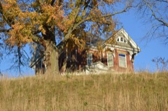
Listed on the National Register of Historic Places in
1980. A historic map-sheet match is not published yet. The record needs a coordinate-quality review before it can be joined to a sheet boundary.
From the record
one of 7 National Register listings in Hocking County · listed in 1980 · category: Building.
National Register reference number.80003100- the number the National Park Service assigned this property when it was listed, and the key its nomination file is catalogued under at the National Archives.
Fires near this property
41 since 2006
Regional context, not property-specific
evidence. The
federal wildfire occurrence database
lists 41 fires within 5 miles of James, Charles Worth, House between
2006 and 2020, burning about 120 acres in total. None started naturally. 1 was recorded as arson.
Distance is straight-line from the map coordinates, so a fire counted
here may appear on a neighbouring settlement's page as well.
Reported cause
Fires
Debris and open burning
22
Missing data/not specified/undetermined
6
Power generation/transmission/distribution
5
Recreation and ceremony
4
Equipment and vehicle use
3
Arson/incendiarism
1
The most recent of
them, most recent first, with the day each was reported and the service
that recorded it.
Regional context, not property-specific
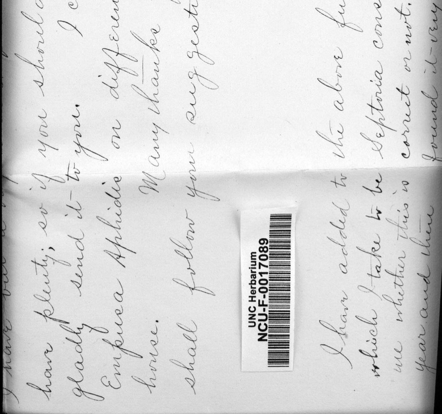
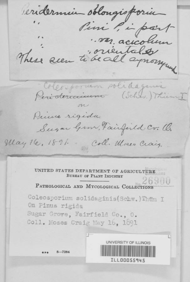
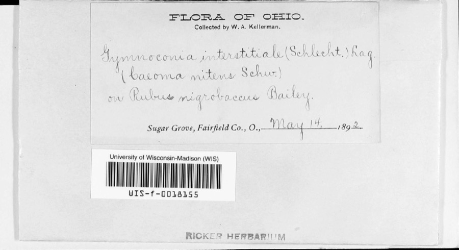
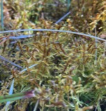
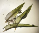
evidence. Museums hold 2,598 specimens
collected within 10 miles of James, Charles Worth, House between 1839 and
1975: 1,885 Animalia, 446 Plantae, 228 Fungi, 35 Protozoa, 4 Unrecorded. 12 distinct Species records are shown.
Collected by A. N. Bragg, A. Schrader, A. White (from N. Rubenstein-OSU) and others. Each is a
physical object with a catalogue
number, and each entry opens the museum's record. This is what was
collected and kept, not a survey of what lives here - nothing can be
concluded from a species being absent.
Regional context, not property-specific
evidence. The federal mineral resources record lists
9 workings within 5 miles of James, Charles Worth, House: 7 past producers, 2 producers.
2 still produce. What was taken out: Clay, Sand and Gravel, Construction, Brick Clay, Fire Clay (Refractory). Distance is straight-line from the
map coordinates, so a quarry counted here may appear on a neighbouring
settlement's page as well.
Regional context, not property-specific
evidence. The National Weather Service names
Logan, the town this property stands in, in 71 storm reports between 1994 and 2026: 47 thunderstorm wind, 10 hail, 10 flood, 3 flash flood.
The reports record 10 injuries. Each account below is quoted exactly as the forecast office
filed it, from the NOAA Storm Events Database, and each date
opens the federal record of that event.
3 papers published in this town,
digitised by the Library of Congress and free to read: 0 issues,
0 pages. Every page is searchable, so a name or a street can be
looked for directly in what the town printed about itself at the time.
No historic map-sheet match is published
for this property yet. That does not mean no map exists. This record needs
a coordinate-quality review before it can be joined to a sheet boundary.
Browse the county's mapped places while that work is
pending.
From the nomination file
2,378 words on record
When this property was proposed for the
National Register, someone wrote the case for it: what the building is,
and why it matters. That document is a federal record in the public domain.
It is quoted below word for word, never summarised. The text was read off the scanned case file by machine, so the
occasional stray character is the recogniser's and the 1970s
typewriter's.
Description of the property
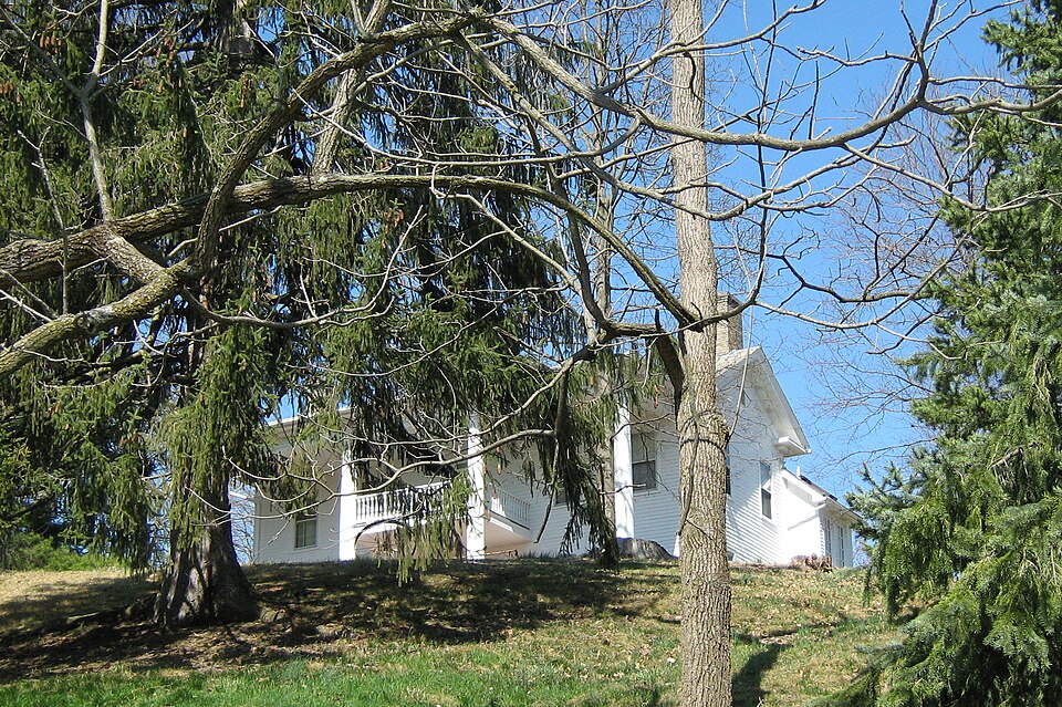
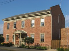
was once the James farm, but was subdivided in the 1920s and 30s and is now an integral part of Logan. with Greek Revival pilasters and dentil work. This enters into a central hallway with staircase flanked by single rooms. The original Greek Revival woodwork still frames all interior doorways. pilasters. 7. Description Condition unaltered The house is a two-story rectangular frame building with horizontal wooden siding _unexposed - excellent at the crest of a major hillside just north of downtown Logan. This hilltop area setting on a cut sandstone foundation. There is a lower two-story wing at the rear which along with the main block, has a gable roof covered with slate. Both the front and rear portions feature gable end returns with a molded entablature and corner 20th century.
The most imposing alteration was the two-story full facade porch The 5-bay facade has a central doorway with sidelights and transom. It is framed Several porches were added and multi-pane double hung sash were added in the early supported by four Doric columns. Large rectangular raised panels were added to the deteriorated fair The James House occupies an imposing location overlooking the Hocking River Valley goodruins Areas of Significance-Check and justify below _archeology-historic - conservation _ economics . sculpture military . . social/ . music X 1800-1899 - philosophy _ theater - politics/government - other (specify) Statement of
Statement of significance
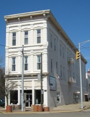
(in one paragraph) Masonic and Odd Fellows lodges, serving in important offices in both. Perhaps more significant was the impressive string of county and state governmental positions he position until 1842, and was also appointed Clerk of the Court of Common Pleas in 1837, serving in this role until 1850. At that time he was elected a Representative to the the Pond family at that time and remained in their ownership until 1936. 1500-1599 1700-1799 1400-1499 1600-1699 transportation 8. Significance Period humanitarian Builder/Architect agriculture science law prehistoric literature Specific dates Beginning in 1832,Charles W.James worked in a variety of mercantile enterprises in to devote his full time to his business operations.He returned to public affairs 1900- .
landscape architecture - ___ religion * engineering official and businessman of the ante-bellum era in this small southeastern Ohio community. Logan, eventually culminating in the construction of the James Block (now demolished) long enough in 1856 to help organize the Republican party in Hocking County. This house Ohio General Assembly where he served for 3 years. In 1853 he retired from public service 1853 art invention held beginning in 1835 with his election as Recorder of Hocking County.He filled this Interstate Publishing Co., 1883 of the Logan Daily News, Section E, June 14, 1976.
Acreage of nominated property - Quadrangle scale 1:24000 Quadrangle name - UMT References State street & number I-71 & 17th Avenue city or town The evaluated significance of this property within the state is: _ national 665), I hereby nominate this property for inclusion in the National Register and certify that it has been evaluated according to the criteria and procedures set forth by the Heritage Conservation and Recreation Service.
Quoted from the National Register nomination
for reference 80003100, 22 pages, held by the National Archives in Record
Group 79. See the
catalogue record.
Listed places nearby
6 within 8 miles
Other National Register properties close
enough to walk or drive between, ordered by distance from this one. Both
positions come from the same geocoding pass that matched these properties
to their map sheets.
Listing record. National Park Service National Register of Historic Places, listed-properties dataset, current to 2026-05-22.
Map join. Address geocoded through the United States Census geocoder, then tested against the published boundary of every sheet in the USGS Historical Topographic Map Collection.
How this page is made. Listing fields come from federal records; map-sheet coverage is a labelled coordinate-to-boundary calculation, not a source-field claim.
Wildfire. Short, Karen C. 2022. Spatial wildfire occurrence data for the United States, 1992-2020 [FPA_FOD_20221014]. 6th Edition. Fort Collins, CO: Forest Service Research Data Archive. https://doi.org/10.2737/RDS-2013-0009.6 Collected with United States Government funding and usable without additional permissions or fees.
Specimens. Global Biodiversity Information Facility (GBIF), https://www.gbif.org/. Only records licensed CC0 or CC BY are used. Records licensed CC BY-NC are excluded because this site carries advertising. Images are checked individually and any whose licence is non-commercial, no-derivatives or unreadable is refused.
Mines and quarries. USGS Mineral Resources Data System (MRDS) https://mrdata.usgs.gov/mrds/ A work of the United States government, no copyright under 17 U.S.C. 105.
Storms. NOAA National Centers for Environmental Information, Storm Events Database https://www.ncei.noaa.gov/stormevents/ A work of the United States government, no copyright under 17 U.S.C. 105. Narratives are quoted verbatim from the National Weather Service report and are not edited or summarised.
 Block
Block