Nahant Beach Boulevard-Metropolitan Park System of Greater Boston
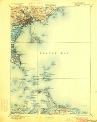
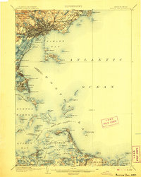
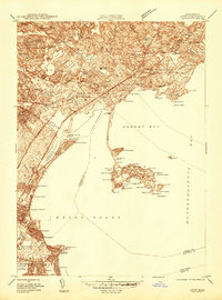
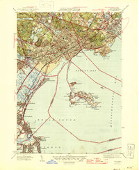
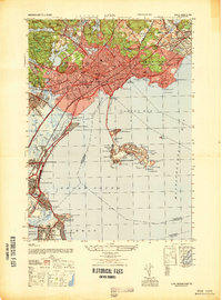
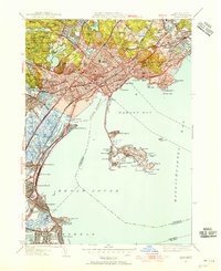
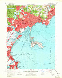
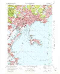
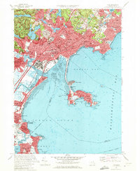
Listed on the National Register of Historic Places in 2003. 17 historic topographic surveys show this location, the earliest from 1892.
From the record
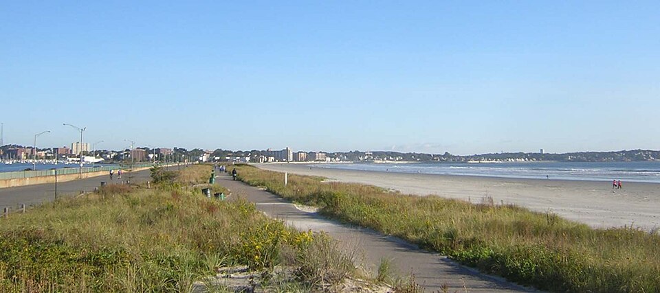
“Nahant Beach Boulevard, also Nahant Causeway and Nahant Road, is a historic road in eastern Massachusetts, US, on the isthmus connecting Nahant to the mainland at Lynn. The road runs from the Lynn Rotary, its junction with Lynn Shore Drive and the Lynnway, about 1.5 miles (2.4 km) to Wilson Road in Nahant.”
Wikipedia article Nahant Beach Boulevard, CC BY-SA 4.0.
One of 480 National Register listings published here for Essex County · listed in 2003 · category: District.
Also known as. Metropolitan Park System of Greater Boston MPS
City. Lynn city
National Register reference number.03000747- the number the National Park Service assigned this property when it was listed, and the key its nomination file is catalogued under at the National Archives.
Then and now
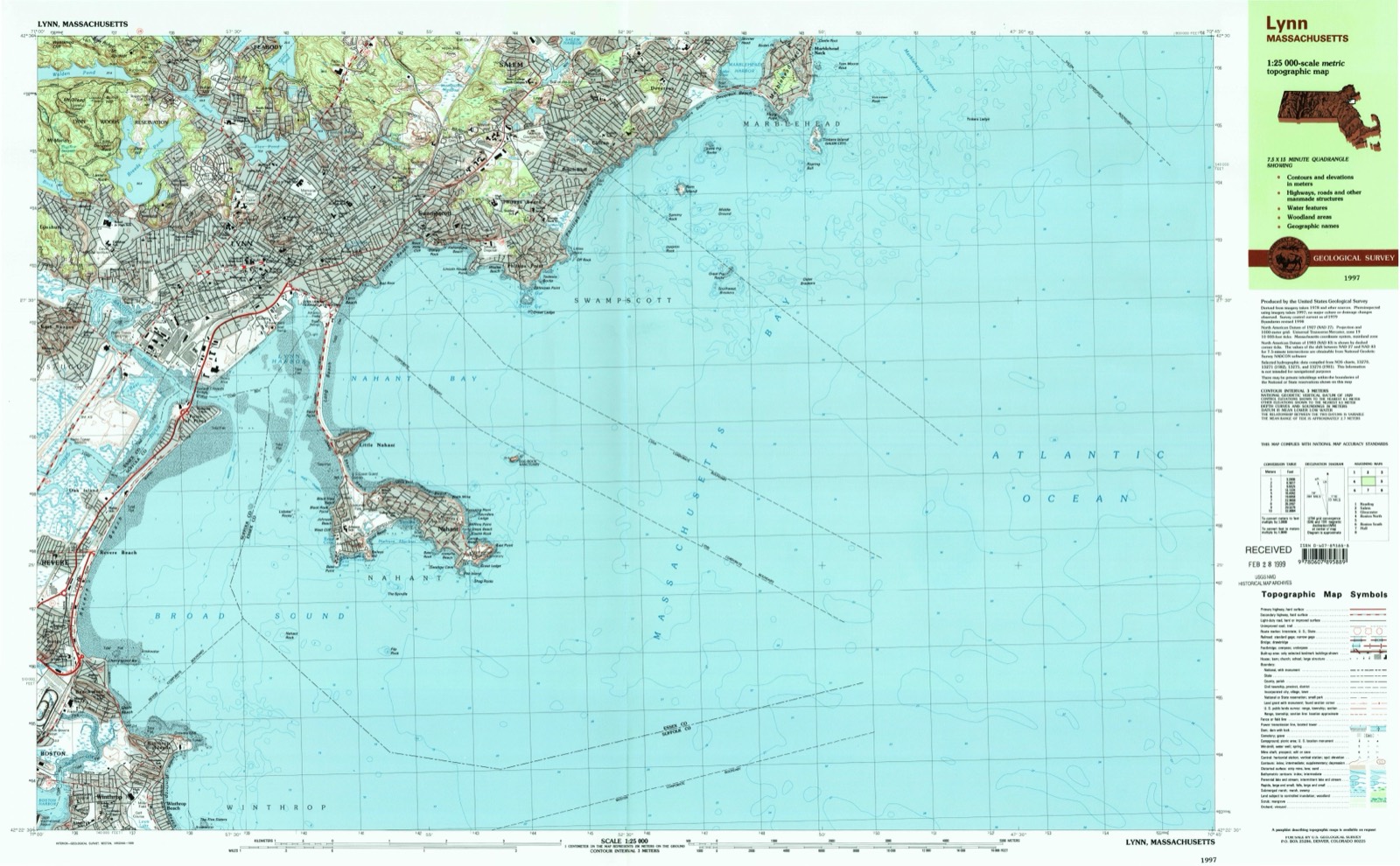
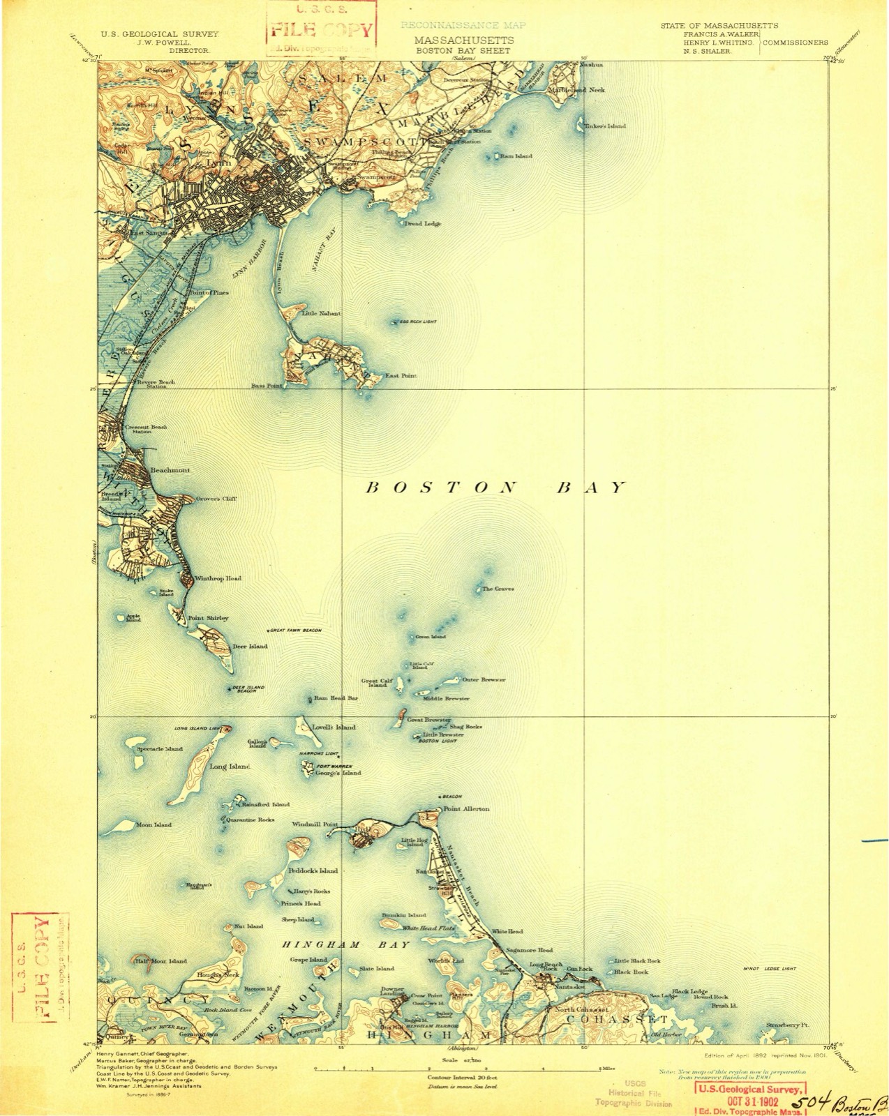
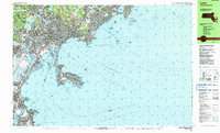
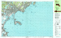
1892 to 1997
The ground this property stands on, surveyed
105 years apart. Drag the handle to wipe between them. Both sheets are
United States Geological Survey originals; neither has been altered.
This is Lynn. And probably no place upon the New England coast can present more attractive features and such varied scenery. It is one of the oldest settlements of Massachusetts, as distinguished from Plymouth, and has always maintained a steady, though not rapid, growth, till, at the present time, it has reached a population of very near 50,000. It is on the northern shore of the great bay which is entered from the Atlantic through the gateway formed by Cape Ann, so named by Prince Charles in filial respect for his mother, and Cape Cod, so named by the notable English navigator, Bartholomew Gosnold, from the circumstance of finding multitudes of codfish sporting about there. It was the central one of the three important settlements commenced at nearly the same time, - namely, Salem, Lynn and Boston ; is five miles southwest of the former, and ten miles northeast of the latter. It is not now very extensive, territorially, but as regards population is the largest city in the United States, east of Boston.
With the Ingalls brothers appear to have come three others, namely, William Dixey, John Wood and William Wood, the two latter supposed to be father and son. The father, John, seems to have been a good, common-sense, plodding settler, industrious, but with little ambition. William, the son,was evidently an active, aspiring young man, something of a rover, a keen observer and one desirous of making a mark. And he did make a mark, which remains conspicuous at this day. He may well be called the first historian of Lynn, or indeed of New England. He was the author of " New England's Prospect," which was printed in London in 1634. It was a work evidently inspired by a love for his new home, and gives graphic accounts of the different settlements, their condition, advantages and prospects, with shrewd suggestions and honest deductions, but withal tinged by crude conceptions, more or less attributable to the peculiar views and circumstances of the settlers, and the conceits of the time. His quaint descriptions will continue to be quoted so long as our early history continues to interest. He also, in 1635, published a map of New England, engraved on wood.
Regional context, not property-specific
evidence. The
federal wildfire occurrence database
lists 67 fires within 5 miles of Nahant Beach Boulevard-Metropolitan Park System of Greater Boston
between 2003 and 2020, burning about 249 acres in total. 1 started naturally. 6 were recorded as arson.
Distance is straight-line from the map coordinates, so a fire counted
here may appear on a neighbouring settlement's page as well.
Reported cause
Fires
Recreation and ceremony
23
Smoking
13
Debris and open burning
7
Missing data/not specified/undetermined
6
Arson/incendiarism
6
Equipment and vehicle use
4
Misuse of fire by a minor
3
Fireworks
3
Natural
1
Railroad operations and maintenance
1
The most recent of
them, most recent first, with the day each was reported and the service
that recorded it.
Regional context, not property-specific
evidence. Museums hold 10,468 specimens
collected within 10 miles of Nahant Beach Boulevard-Metropolitan Park System of Greater Boston between 1800 and 1975: 4,925 Plantae, 3,030 Animalia, 1,006 Chromista, 797 Fungi, 411 Unrecorded, 286 Bacteria, 13 Protozoa.
12 distinct Species records are shown.
Collected by A B. Proper, A. A. Eaton, A. B. Hervey and others. Each is a
physical object with a catalogue
number, and each entry opens the museum's record. This is what was
collected and kept, not a survey of what lives here - nothing can be
concluded from a species being absent.
Regional context, not property-specific
evidence. The federal mineral resources record lists
10 workings within 5 miles of Nahant Beach Boulevard-Metropolitan Park System of Greater Boston: 3 producers, 2 past producers, 2 unknowns, 2 plants.
5 still produce. What was taken out: Stone, Crushed/Broken, Iron, Gold, Silver, Platinum, Palladium, Mercury. Distance is straight-line from the
map coordinates, so a quarry counted here may appear on a neighbouring
settlement's page as well.
Regional context, not property-specific
evidence. The National Weather Service names
Lynn, the town this property stands in, in 37 storm reports between 2006 and 2023: 16 thunderstorm wind, 9 hail, 5 flood, 5 flash flood.
No death or injury is recorded in these reports. Each account below is quoted exactly as the forecast office
filed it, from the NOAA Storm Events Database, and each date
opens the federal record of that event.
Numerous trees and wires were downed throughout Lynn, closing thirty to forty streets. An amateur radio operator recorded a wind gust of 60 mph on their home weather station on Centre Street.
At 9:16 AM EST, cars on Monroe Street in Lynn were floating in the street. At 9:18 AM EST, water was rising in a building on Monroe Street, causing people to stand on chairs. At 9:31 AM cars were trapped in flood waters on Chatham Street under a bridge; the road was impassable. At 10:03 AM the basement door to a building on Union Street had collapsed due to the flooding, and water was pouring in. At 10:18 AM, large sections of Boston Street in Lynn were flooded and impassable, and several cars were trapped in the floodwaters. At 10:32 AM state route 107 on the Lynn/Salem border was closed due to flooding. At 10:59 AM EST, manhole covers were reported coming off the road on Seymour Avenue. A car was trapped in three feet of water on Wilfred Street; the road was impassable. At 11:42 AM EST, street flooding on Erie Street reached several feet.
Lightning struck a three family home on Washington Street, setting fire to the house. Damage was to the front roof in the third floor unit. Residents in the third floor unit were unable to return to their unit due to water damage. Other units were not damaged.
In Swampscott, a car was stuck in flood waters at the Santander Bank parking lot. Crowinshield Street was flooded in Peabody. A car was stuck in flood waters on Endicott Street. Leather City Common was flooded with six to twelve inches of water.
In Peabody, a car was stuck in two feet of water on America Drive. A car was stuck in flood waters on the ramp for the Northshore Mall from Route 114 to Route 128. In Lynn, four to six inches covered all three eastbound lanes of the Lynnway. Other streets in Lynn were flooded with three feet of water and the fire department responded to two calls of people stuck in their cars. In Beverly, Federal Street between MacPherson Drive and Rantoul and Lothrop Street at Route 127 were closed due to flooding. The fire department reported several streets flooded with at least 3 feet of water. They responded to about a half dozen calls of people stuck in their cars. In Salem, Highland Avenue was flooded out.
In Lynn, large branches and wires were downed by thunderstorm winds. In Marblehead, trees and wires on Green Street and Kenneth Road were downed by thunderstorm winds. One of the trees on Kenneth Road landed on a house.
A tree and wires were downed onto a fence on Warwick Street in Lynn. Also, an eight inch diameter tree branch was downed and blew into a house, the house sustained minor damage. Several other tree limbs were downed on Lynnfield Street and Savory Street.
In Swampscott, several cars were stuck in street flooding on Paradise Road (Route 1A). |Also, a car was stuck at the intersection of Stetson Avenue and Norfolk Avenue.
United States Geological Survey topographic
sheets whose coverage includes this point. Matched by taking the coordinate the National Park Service records for this property, then
testing that coordinate against the published boundary of every sheet.
Other National Register properties close
enough to walk or drive between, ordered by distance from this one. Both
positions come from the same geocoding pass that matched these properties
to their map sheets.
Listing record. National Park Service National Register of Historic Places, listed-properties dataset, current to 2026-05-22.
Map join. Address geocoded through the United States Census geocoder, then tested against the published boundary of every sheet in the USGS Historical Topographic Map Collection.
How this page is made. Listing fields come from federal records; map-sheet coverage is a labelled coordinate-to-boundary calculation, not a source-field claim.
Wildfire. Short, Karen C. 2022. Spatial wildfire occurrence data for the United States, 1992-2020 [FPA_FOD_20221014]. 6th Edition. Fort Collins, CO: Forest Service Research Data Archive. https://doi.org/10.2737/RDS-2013-0009.6 Collected with United States Government funding and usable without additional permissions or fees.
Specimens. Global Biodiversity Information Facility (GBIF), https://www.gbif.org/. Only records licensed CC0 or CC BY are used. Records licensed CC BY-NC are excluded because this site carries advertising. Images are checked individually and any whose licence is non-commercial, no-derivatives or unreadable is refused.
Mines and quarries. USGS Mineral Resources Data System (MRDS) https://mrdata.usgs.gov/mrds/ A work of the United States government, no copyright under 17 U.S.C. 105.
Storms. NOAA National Centers for Environmental Information, Storm Events Database https://www.ncei.noaa.gov/stormevents/ A work of the United States government, no copyright under 17 U.S.C. 105. Narratives are quoted verbatim from the National Weather Service report and are not edited or summarised.
 Block