Listed on the National Register of Historic Places in
1972. A historic map-sheet match is not published yet. The record needs a coordinate-quality review before it can be joined to a sheet boundary.
From the record
“Among the first Catholic families who settled in and around Mount Vernon were the brother's, Timothy and William Colopy, (1814), John P. McArdle, David Morton, William Brophy, Charles Colerick, and at a later date the families of Michael Boyle, (1835), Thomas McMullen, (1840), and Probably the earliest Catholics in this section of the State were those who settled at or near Napoleon, Holmes county, the settlement being known in early times as the "French Settlement;" and those who settled around what is now known as Danville in Union township.”
A History of Knox County, Ohio, from 1779 to 1862 Inclusive; Comprising Biographical Sketches, Anecdotes .. (1862). Machine-read text.
one of 35 National Register listings in Knox County · listed in 1972 · category: Building.
National Register reference number.09000100- the number the National Park Service assigned this property when it was listed, and the key its nomination file is catalogued under at the National Archives.
The town it stands in
16,802 words
This property is in Mount Vernon, which the
county-history sources cover in 1 chapter of its own rather than as
part of a township. All are public domain and reproduced here complete.
Regional context, not property-specific
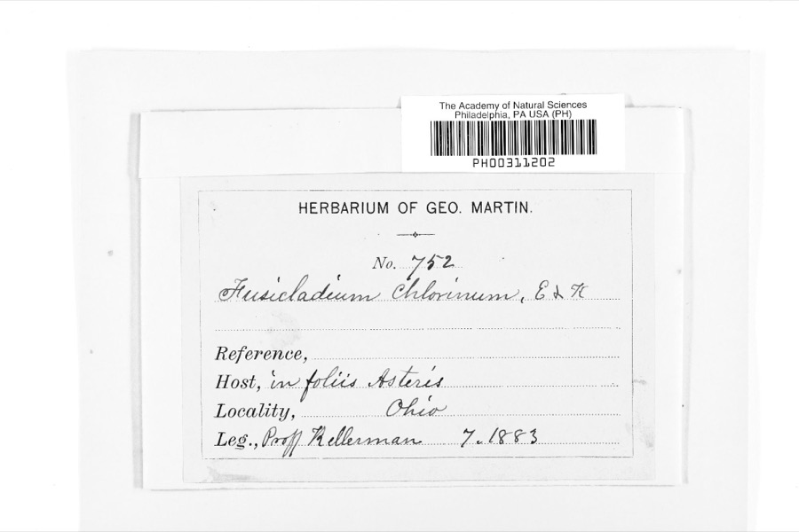
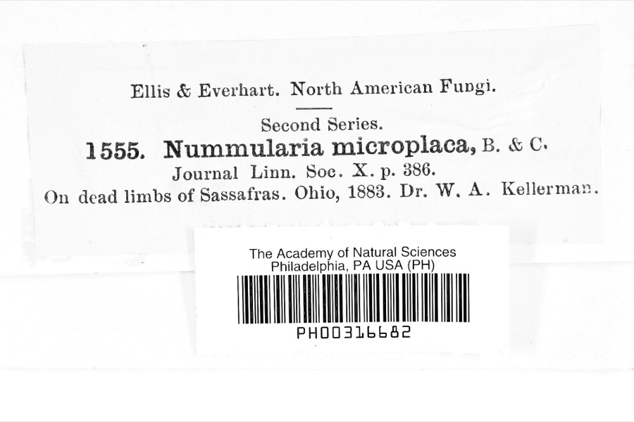
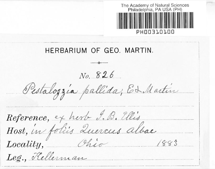
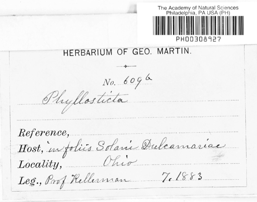
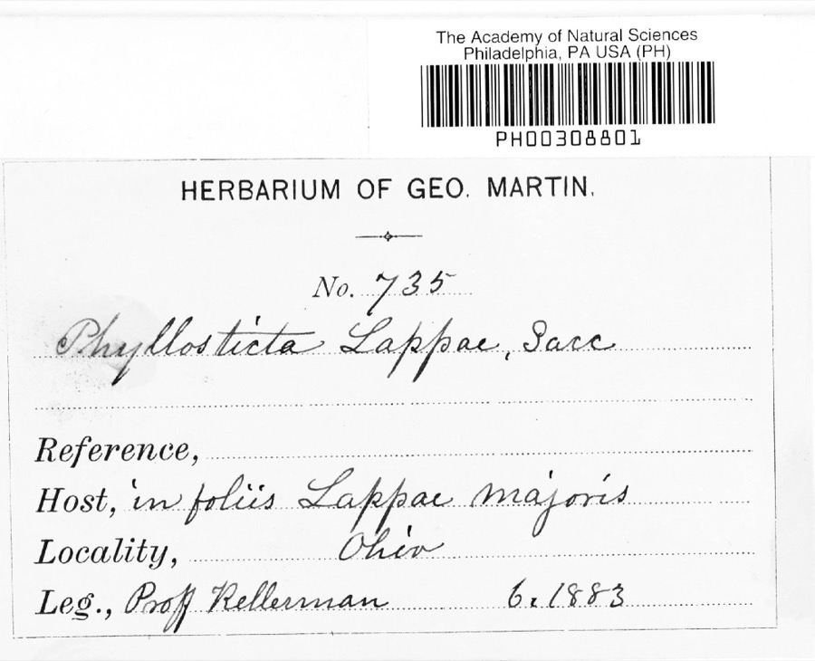
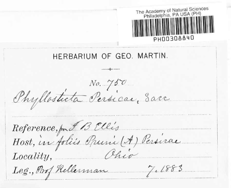
evidence. Museums hold 714 specimens
collected within 10 miles of Pennsylvania Depot between 1837 and
1975: 653 Animalia, 37 Fungi, 23 Plantae, 1 Protozoa. 12 distinct Species records are shown.
Collected by A. Hall, A. P. Morgan, Andriessen, H. and others. Each is a
physical object with a catalogue
number, and each entry opens the museum's record. This is what was
collected and kept, not a survey of what lives here - nothing can be
concluded from a species being absent.
Regional context, not property-specific
evidence. The federal mineral resources record lists
4 workings within 5 miles of Pennsylvania Depot: 2 past producers, 2 producers.
2 still produce. What was taken out: Sand and Gravel, Construction. Distance is straight-line from the
map coordinates, so a quarry counted here may appear on a neighbouring
settlement's page as well.
Regional context, not property-specific
evidence. The National Weather Service names
Mount Vernon, the town this property stands in, in 2 storm reports between 1995 and 1995: 1 thunderstorm wind, 1 hail.
The reports record 1 injury. Each account below is quoted exactly as the forecast office
filed it, from the NOAA Storm Events Database, and each date
opens the federal record of that event.
A downburst with winds as high as 90 mph downed hundreds of trees, some on structures and vehicles. Signs were blown down and some windows were broken and minor roof damage occurred to several buildings. A dog was electrocuted when a live power line fell onto the dogbox. A man was injured by a falling tree limb and another man, sleeping in his bedroom, escaped injury when a large limb crashed through his ceiling missing him by inches. Three state highways where closed until storm debris could be removed, one for over 24 hours.
Large hail fell. A 41-year-old man was struck by lightning while working inside his new home which was under construction. The house appears to have been struck first and the charge passed through the man causing minor burns.
No historic map-sheet match is published
for this property yet. That does not mean no map exists. This record needs
a coordinate-quality review before it can be joined to a sheet boundary.
Browse the county's mapped places while that work is
pending.
From the nomination file
1,262 words on record
When this property was proposed for the
National Register, someone wrote the case for it: what the building is,
and why it matters. That document is a federal record in the public domain.
It is quoted below word for word, never summarised. The text was read off the scanned case file by machine, so the
occasional stray character is the recogniser's and the 1970s
typewriter's.
Description of the property
cleaning). The windowsashes and doors are of wood, with the exception faced hard brick, warm gray in color. The roof structure is of wood, Excellent (The color could be restored with proper are of concrete.There is a basement under the greater part of the building is under lock and key.The extent and type of repair or RECEIVED
Statement of significance
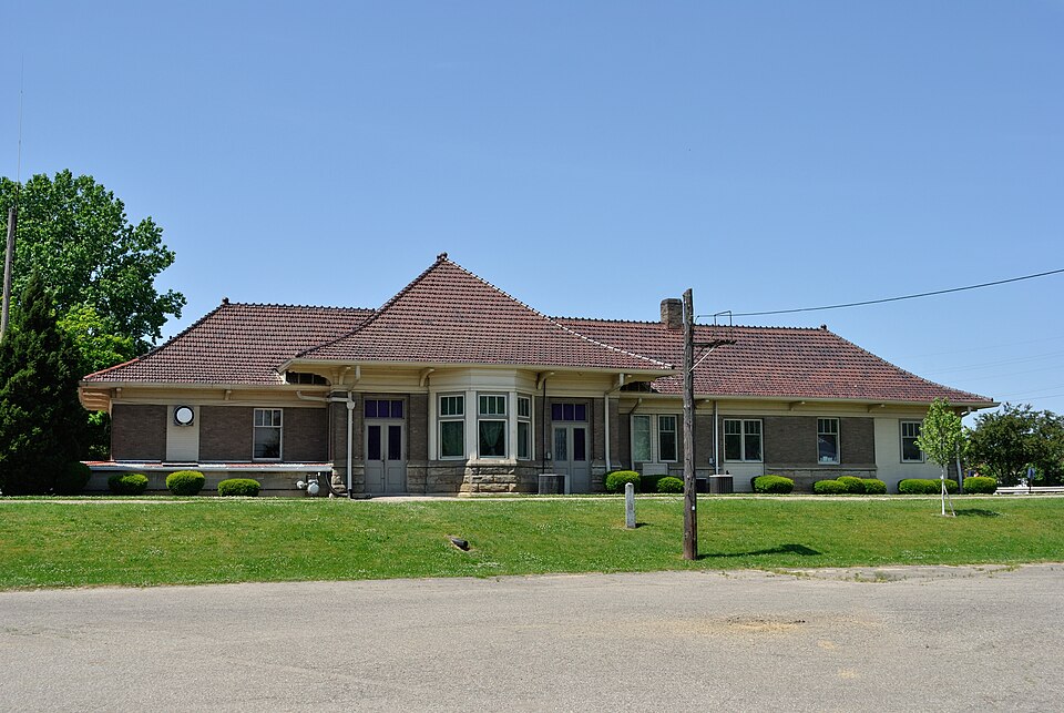
The Pennsylvania Railroad Depot, located on South Main Street in Mount Vernon, Ohio, occupies a most strategic site, not only in view of present and future urban planning, but also with regard to the via this river, which was then known as Owl Creek.
Fittingly, rail- roads laid track parallel to the river, and at the turn of the 20th century the Columbus, Akron, & Cleveland and the Pennsylvania this, it has been impossible to determine in what year this building was erected, but older residents in the area seem to agree that the it served as a center for information, commerce, and military de- humanitarian role, it is felt that the building should be included on OCT 24 1972 Transportation Commerce Conservation Communications Architecture losophy Theater Aboriginal Engineering Literature Education Music Agriculture REGISTER Art NATIONAL Social/Human- itarian Military Sculpture Landscape Urban Planning Political Invention Industry that particular event.
1936.Three thousand of Mount Vernon's townspeople were witness to stations owing their designs to the earlier shingle style. Religion/Phi It is the expressed wish of Mount Vernon's senior citizens that military and commercial significance as well as its future social/ twenty car non-stop journey to Columbus.The local paper records they be permitted to use the building should the community settler to the area nine years before the name of Ohio had been given Pre-Columbian a fine example of that group of early 20th century small-town railroad station house went up in or around 1905.In the building's prime such events as Alf Landon speaking from the platform on October 12, Other AREAS OF SIGNIFICANCE (Check One or More as Appropriate) the National Register of Historic Places.
Architecturally, it is Railroad Companies were operating here in joint venture. Because of partures.
Quoted from the National Register nomination
for reference 09000100, 8 pages, held by the National Archives in Record
Group 79. See the
catalogue record.
Listed places nearby
6 within 8 miles
Other National Register properties close
enough to walk or drive between, ordered by distance from this one. Both
positions come from the same geocoding pass that matched these properties
to their map sheets.
Listing record. National Park Service National Register of Historic Places, listed-properties dataset, current to 2026-05-22.
Map join. Address geocoded through the United States Census geocoder, then tested against the published boundary of every sheet in the USGS Historical Topographic Map Collection.
How this page is made. Listing fields come from federal records; map-sheet coverage is a labelled coordinate-to-boundary calculation, not a source-field claim.
Specimens. Global Biodiversity Information Facility (GBIF), https://www.gbif.org/. Only records licensed CC0 or CC BY are used. Records licensed CC BY-NC are excluded because this site carries advertising. Images are checked individually and any whose licence is non-commercial, no-derivatives or unreadable is refused.
Mines and quarries. USGS Mineral Resources Data System (MRDS) https://mrdata.usgs.gov/mrds/ A work of the United States government, no copyright under 17 U.S.C. 105.
Storms. NOAA National Centers for Environmental Information, Storm Events Database https://www.ncei.noaa.gov/stormevents/ A work of the United States government, no copyright under 17 U.S.C. 105. Narratives are quoted verbatim from the National Weather Service report and are not edited or summarised.
 Block
Block