Listed on the National Register of Historic Places in
1973. A historic map-sheet match is not published yet. The record needs a coordinate-quality review before it can be joined to a sheet boundary.
From the record
“The Knox County Courthouse is a historic building located on High Street in Mount Vernon, Ohio, United States. It was built in 1855 in the Greek Revival style of architecture.”
Wikipedia article Knox County Courthouse (Ohio), CC BY-SA 4.0.
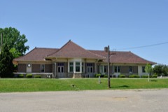
one of 35 National Register listings in Knox County · listed in 1973 · category: Building.
National Register reference number.73001484- the number the National Park Service assigned this property when it was listed, and the key its nomination file is catalogued under at the National Archives.
The town it stands in
16,802 words
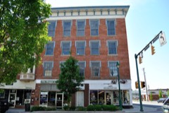
This property is in Mount Vernon, which the
county-history sources cover in 1 chapter of its own rather than as
part of a township. All are public domain and reproduced here complete.
Regional context, not property-specific
evidence. Museums hold 716 specimens
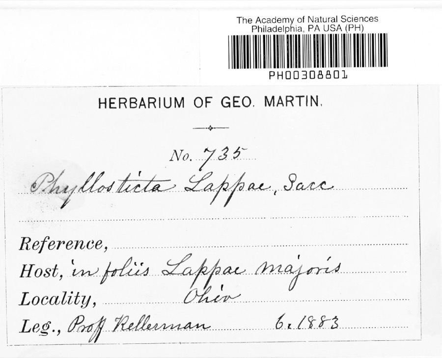
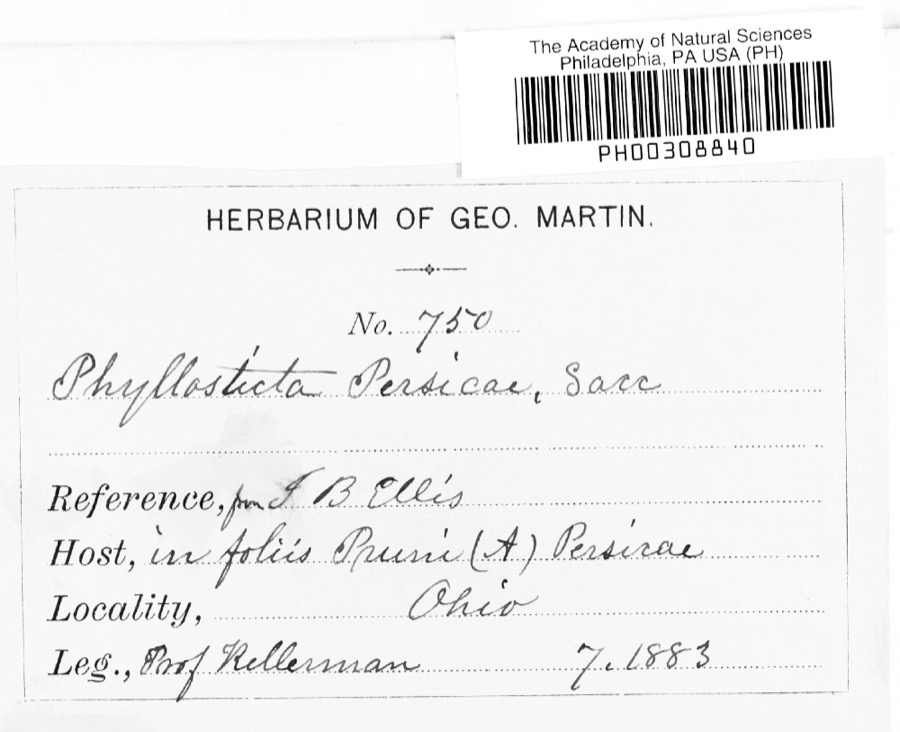
collected within 10 miles of Knox County Courthouse between 1837 and
1975: 655 Animalia, 37 Fungi, 23 Plantae, 1 Protozoa. 12 distinct Species records are shown.
Collected by A. Hall, A. P. Morgan, Andriessen, H. and others. Each is a
physical object with a catalogue
number, and each entry opens the museum's record. This is what was
collected and kept, not a survey of what lives here - nothing can be
concluded from a species being absent.
Regional context, not property-specific
evidence. The federal mineral resources record lists
4 workings within 5 miles of Knox County Courthouse: 2 past producers, 2 producers.
2 still produce. What was taken out: Sand and Gravel, Construction. Distance is straight-line from the
map coordinates, so a quarry counted here may appear on a neighbouring
settlement's page as well.
Regional context, not property-specific
evidence. The National Weather Service names
Mount Vernon, the town this property stands in, in 2 storm reports between 1995 and 1995: 1 thunderstorm wind, 1 hail.
The reports record 1 injury. Each account below is quoted exactly as the forecast office
filed it, from the NOAA Storm Events Database, and each date
opens the federal record of that event.
A downburst with winds as high as 90 mph downed hundreds of trees, some on structures and vehicles. Signs were blown down and some windows were broken and minor roof damage occurred to several buildings. A dog was electrocuted when a live power line fell onto the dogbox. A man was injured by a falling tree limb and another man, sleeping in his bedroom, escaped injury when a large limb crashed through his ceiling missing him by inches. Three state highways where closed until storm debris could be removed, one for over 24 hours.
Large hail fell. A 41-year-old man was struck by lightning while working inside his new home which was under construction. The house appears to have been struck first and the charge passed through the man causing minor burns.
No historic map-sheet match is published
for this property yet. That does not mean no map exists. This record needs
a coordinate-quality review before it can be joined to a sheet boundary.
Browse the county's mapped places while that work is
pending.
From the nomination file
1,164 words on record
When this property was proposed for the
National Register, someone wrote the case for it: what the building is,
and why it matters. That document is a federal record in the public domain.
It is quoted below word for word, never summarised. The text was read off the scanned case file by machine, so the
occasional stray character is the recogniser's and the 1970s
typewriter's.
Description of the property
The windows in the entire building are rectangular, and are The tower is located on the southern part of the roof, and is asphalt tile, but some of the original mosaic tile remains in MAY 2 4 1973 CONDITION REGISTER Ruins NATIONAL The interior seems cramped, and the offices small.A stairway double-hung sash type.The walls are pilastered and the south the west doorway.The interior is not nearly as impressive as errance has columns in antis.Fluted columns with Doric capitals measures approximately seventy by forty feet. foliated scroll and a small round window. gabled, and on the south pediment the masonry is ornamented with rectangular, and the two windows flanking the entrance are pedimented.
The cornice is decorated with tryglyphs and metopes.The roof is with two flights of stairs is located on the east side of the the exterior of the building. rests on a stone foundation.The building is of Greek Revival (Check One) style and has a tower.It was built 1855-1856.The building Excellent The corniced doorway is Good first floor. Original floor coverings have been replaced with approximately thirty feet in height.The base is louvered and Fair - Pre-Columbian! - 20th Century - Urban Planning - Prehistoric STATEMENT OF
Statement of significance
1820, when the first courthouse was constructed, the population building, and contractors John Jennings and David Auld built Commerce Conservation Transportation Military Engineering losophy Communications Architecture SIGNIFICANCE Aboriginal NATIONAL Theater Religion/Phi Science Landscape itarian Literature Agriculture Music Education Invention Social/Human- Sculpture Industry The county commissioners decided to build a new structure, and bids were let.Architect Daniel Clark designed the Construction was started in 1855 and the building was completed the courthouse.
The building was erected at a cost of The population by 1880 was 27,000.By 1854 the third courthouse was formed from Fairfield County on March 1,1808.By The Knox County Courthouse is the fourth courthouse in the and occupied in 1856.It is an excellent example of its type. Political of the county was 8,300. $36,336. Other(Specify) PERIOD (Check One or More as Appropriate) SPECIFIC DATE(S) (If Applicable and Known) built 1855-1856 The county did not grow rapidly, but it did grow steadily. MAY241973 MAY Art Buildings Survey, National Park Service, Washington, D. C., 20240 10.
Quoted from the National Register nomination
for reference 73001484, 10 pages, held by the National Archives in Record
Group 79. See the
catalogue record.
Listed places nearby
6 within 8 miles
Other National Register properties close
enough to walk or drive between, ordered by distance from this one. Both
positions come from the same geocoding pass that matched these properties
to their map sheets.
Listing record. National Park Service National Register of Historic Places, listed-properties dataset, current to 2026-05-22.
Map join. Address geocoded through the United States Census geocoder, then tested against the published boundary of every sheet in the USGS Historical Topographic Map Collection.
How this page is made. Listing fields come from federal records; map-sheet coverage is a labelled coordinate-to-boundary calculation, not a source-field claim.
Specimens. Global Biodiversity Information Facility (GBIF), https://www.gbif.org/. Only records licensed CC0 or CC BY are used. Records licensed CC BY-NC are excluded because this site carries advertising. Images are checked individually and any whose licence is non-commercial, no-derivatives or unreadable is refused.
Mines and quarries. USGS Mineral Resources Data System (MRDS) https://mrdata.usgs.gov/mrds/ A work of the United States government, no copyright under 17 U.S.C. 105.
Storms. NOAA National Centers for Environmental Information, Storm Events Database https://www.ncei.noaa.gov/stormevents/ A work of the United States government, no copyright under 17 U.S.C. 105. Narratives are quoted verbatim from the National Weather Service report and are not edited or summarised.
 Block
Block