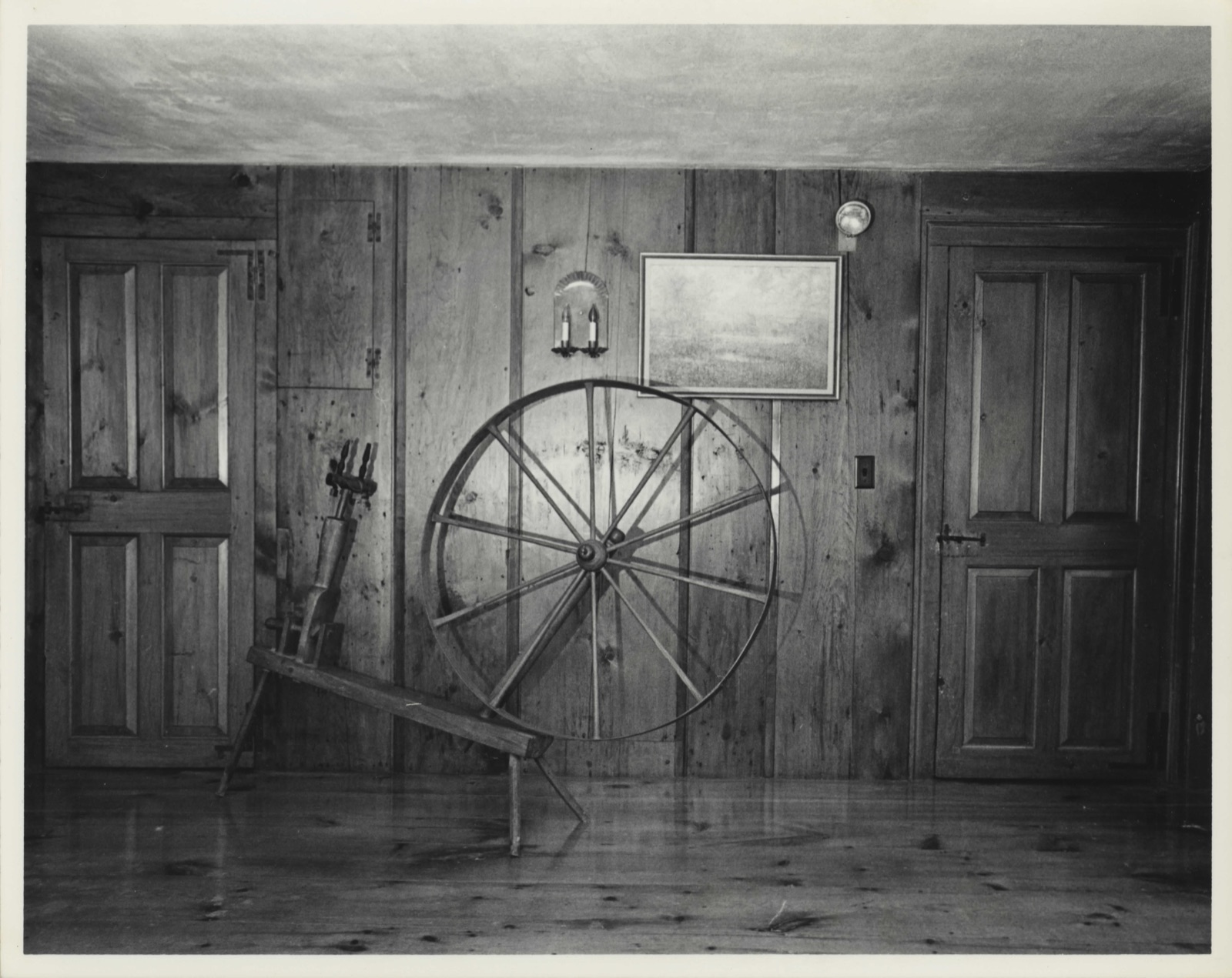
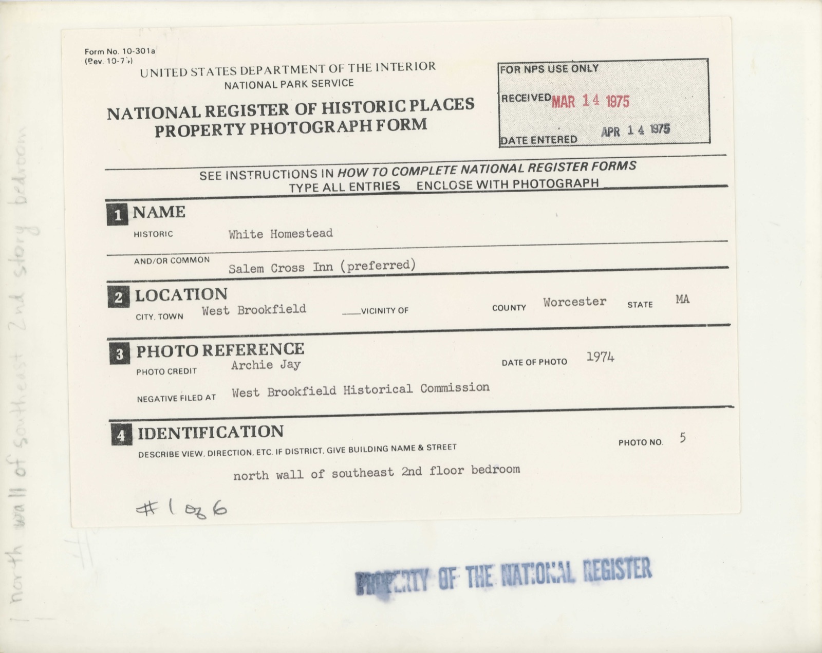
Photographs from the nomination case file, National Park Service records.
White Homestead
Listed on the National Register of Historic Places in
1975. A historic map-sheet match is not published yet. The record needs a coordinate-quality review before it can be joined to a sheet boundary.
From the record
one of 500 National Register listings in Worcester County · listed in 1975 · category: Building · one of 1 National Historic Landmarks in Worcester County.
National Register reference number.09000619- the number the National Park Service assigned this property when it was listed, and the key its nomination file is catalogued under at the National Archives.
Fires near this property
37 since 2015
Regional context, not property-specific
evidence. The
federal wildfire occurrence database
lists 37 fires within 5 miles of White Homestead between
2015 and 2020, burning about 19 acres in total. 5 started naturally. None was recorded as arson.
Distance is straight-line from the map coordinates, so a fire counted
here may appear on a neighbouring settlement's page as well.
Reported cause
Fires
Debris and open burning
9
Missing data/not specified/undetermined
7
Recreation and ceremony
6
Equipment and vehicle use
5
Natural
5
Smoking
4
Power generation/transmission/distribution
1
The most recent of
them, most recent first, with the day each was reported and the service
that recorded it.
Regional context, not property-specific
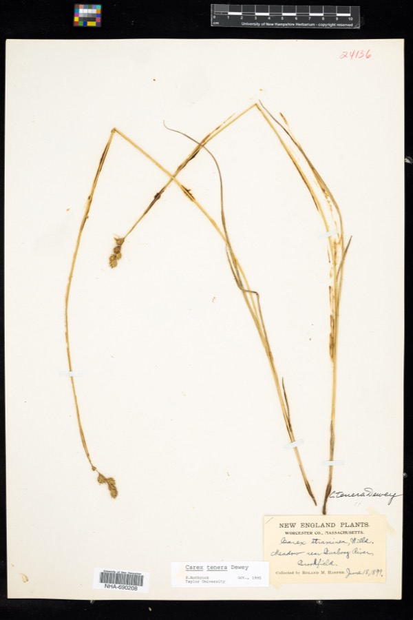
evidence. Museums hold 322 specimens
collected within 10 miles of White Homestead between 1857 and
1975: 178 Plantae, 74 Fungi, 68 Animalia, 2 Unrecorded. 12 distinct Species records are shown.
Collected by A. F. Hill, H. St. John, G.S. Torrey, A. Lavallee, A. P. Chute and others. Each is a
physical object with a catalogue
number, and each entry opens the museum's record. This is what was
collected and kept, not a survey of what lives here - nothing can be
concluded from a species being absent.
Regional context, not property-specific
evidence. The federal mineral resources record lists
8 workings within 5 miles of White Homestead: 5 past producers, 2 producers, 1 plant.
3 still produce. What was taken out: Sand and Gravel, Construction. Distance is straight-line from the
map coordinates, so a quarry counted here may appear on a neighbouring
settlement's page as well.
Regional context, not property-specific
evidence. The National Weather Service names
West Brookfield, the town this property stands in, in 21 storm reports between 1996 and 2025: 11 thunderstorm wind, 5 hail, 3 flood, 1 tornado.
No death or injury is recorded in these reports. Each account below is quoted exactly as the forecast office
filed it, from the NOAA Storm Events Database, and each date
opens the federal record of that event.
In West Brookfield, a tree was down on a house and car on New Braintree Rd. A tree fell onto a roof of a house on East Main St. A tree was down on wires on Myrick Rd. Multiple trees and wires were down on Ragged Hill Rd.
Trees were downed by thunderstorm winds in several locations across West Brookfield, including one downed onto wires on Draper Rugged Hill Road, one downed onto a car on East Main Street, and one blocking Brian Hill Road.
In West Brookfield, a funnel cloud was sighted by several emergency management officials from 5 surrounding towns. No actual tornado reached the ground. However, straight line winds downed wires on Checkered Lane.
No historic map-sheet match is published
for this property yet. That does not mean no map exists. This record needs
a coordinate-quality review before it can be joined to a sheet boundary.
Browse the county's mapped places while that work is
pending.
From the nomination file
4,883 words on record
When this property was proposed for the
National Register, someone wrote the case for it: what the building is,
and why it matters. That document is a federal record in the public domain.
It is quoted below word for word, never summarised. The text was read off the scanned case file by machine, so the
occasional stray character is the recogniser's and the 1970s
typewriter's.
Description of the property
The Salem Cross Inn, formerly known as the White Homestead, is located on Ware Road, Route 9, in the western part of West Brookfield. It is surrounded by acres of rolling meadows and woodlots bounded by fieldstone walls and crisscrossed with old cart roads. The immediate environs preserve an atmosphere of rural colonial days. The homestead is located on the land granted to Sergeant John White in 1707. The original one story house was built by White c. 1707 with clapboard sides and a ridge roof. The ground floor contained a kitchen with a large cooking fireplace and an oven. On the backside of the fireplace was a small heating fireplace which faced into a small chamber known as a "borning room". There were also two general ase chambers on the far side of the borning room .
The walls of the kitchen and borning room are the original plaster on handsplit chestnut laths. The outside walls were lined with handmade burnt bricks, some of which still remain, serving as fortification against both the Indians and the severe New England weather. Above the ground floor is a three-quarter loft with access via an enclosed staircase from the first general chamber. When the main house was constructed, this primitive structure was converted to a carriage shed and still so remains. It was moved c.1960 behind the main house. While the chimney was removed, the interior and exterior are otherwise mostly intact. The house and barn were built by John and Cornelius White c.1740 upon their return to Brookfield from Concord to claim their father's land.
The main house -is a 2 story clapboard Colonial structure with a hip roof, large central chimney, and main entrance on the east facade.
BUILDER/ARCHITECT John White; John and Cornelius White The Salem Cross Inn is significant to the local Brookfield area both for its architectural and its associative values. The 1707 structure is one of the last remaining structures from the early days of the second settlement of Brookfield and the 1740 building is important as an example of an excellently restored, 18th c. architecture in its original rural setting. The main house also retains its original outbuildings.
In addition to its architectural significance, the Salem Cross Inn is álso important as being the home of three persons notable in history: John White, who received the original land grant, was the grandson of Peregrine White, the first male child born in New England aboard the Mayflower as it rode at anchor in Cape Cod Harbor. John White was also an important figure in Brookfield town history. In 1706 he served second in command at the local Goss Garrison. As Indians had forced the removal of the first settlement in Brookfield (now West Brookfield) and were still a constant threat there, the garrison was most important. In 1707 John was granted 60 acres of land by the inhabitants of the town.
In March, 1710, he and eight other men were granted permission to build a sawmill to service the community-|John White was one of the victims of the Indian massacre at Brookfield on July 22,1710, at which time he and five other men were killed while harvesting hay. This massacre was the last act of hostilities committed by the Indians in Brookfield. The 1740 house was built by White's sons, John and Cornelius. The two other important figures who lived in the house were Sarah White Smith (b.1813) and her sister, Adeline White Tracy ( b.
Quoted from the National Register nomination
for reference 09000619, 24 pages, held by the National Archives in Record
Group 79. See the
catalogue record.
Listed places nearby
5 within 8 miles
Other National Register properties close
enough to walk or drive between, ordered by distance from this one. Both
positions come from the same geocoding pass that matched these properties
to their map sheets.
Listing record. National Park Service National Register of Historic Places, listed-properties dataset, current to 2026-05-22.
Map join. Address geocoded through the United States Census geocoder, then tested against the published boundary of every sheet in the USGS Historical Topographic Map Collection.
How this page is made. Listing fields come from federal records; map-sheet coverage is a labelled coordinate-to-boundary calculation, not a source-field claim.
Wildfire. Short, Karen C. 2022. Spatial wildfire occurrence data for the United States, 1992-2020 [FPA_FOD_20221014]. 6th Edition. Fort Collins, CO: Forest Service Research Data Archive. https://doi.org/10.2737/RDS-2013-0009.6 Collected with United States Government funding and usable without additional permissions or fees.
Specimens. Global Biodiversity Information Facility (GBIF), https://www.gbif.org/. Only records licensed CC0 or CC BY are used. Records licensed CC BY-NC are excluded because this site carries advertising. Images are checked individually and any whose licence is non-commercial, no-derivatives or unreadable is refused.
Mines and quarries. USGS Mineral Resources Data System (MRDS) https://mrdata.usgs.gov/mrds/ A work of the United States government, no copyright under 17 U.S.C. 105.
Storms. NOAA National Centers for Environmental Information, Storm Events Database https://www.ncei.noaa.gov/stormevents/ A work of the United States government, no copyright under 17 U.S.C. 105. Narratives are quoted verbatim from the National Weather Service report and are not edited or summarised.
 Block
Block