Listed on the National Register of Historic Places in
2017. A historic map-sheet match is not published yet. The record needs a coordinate-quality review before it can be joined to a sheet boundary.
From the record
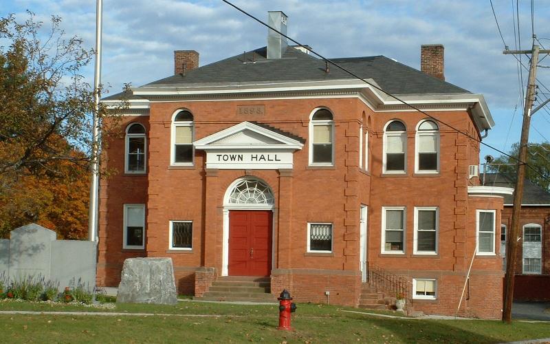
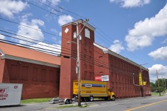
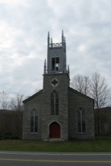
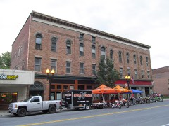
“The Cheshire Town Hall Complex is a three-building set of municipal structures at the junction of Church and Depot Streets in Cheshire, Massachusetts. Built in 1898, the town hall is a prominent local example of Colonial Revival architecture, and the assemblage form an imposing civic statement in the village center.”
Wikipedia article Cheshire Town Hall Complex, CC BY-SA 4.0.
one of 94 National Register listings in Berkshire County · listed in 2017 · category: District · one of 1 National Historic Landmarks in Berkshire County.
National Register reference number. 100000719 - assigned by the National Park Service when the property was listed.
Fires near this property
17 since 2015
Regional context, not property-specific
evidence. The
federal wildfire occurrence database
lists 17 fires within 5 miles of Cheshire Town Hall Complex between
2015 and 2018, burning about 8 acres in total. 1 started naturally. None was recorded as arson.
Distance is straight-line from the map coordinates, so a fire counted
here may appear on a neighbouring settlement's page as well.
Reported cause
Fires
Debris and open burning
7
Recreation and ceremony
3
Equipment and vehicle use
3
Missing data/not specified/undetermined
2
Smoking
1
Natural
1
The most recent of
them, most recent first, with the day each was reported and the service
that recorded it.
Regional context, not property-specific
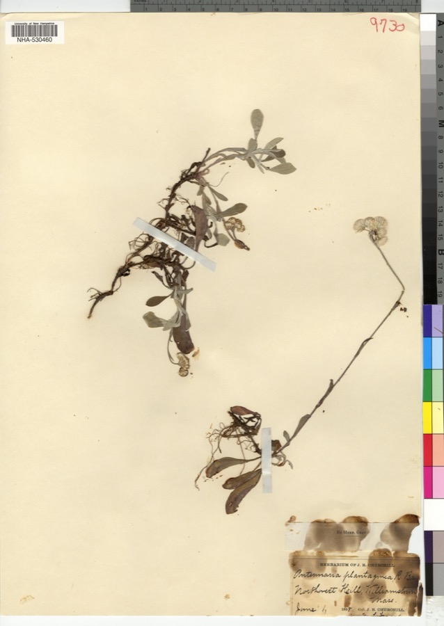
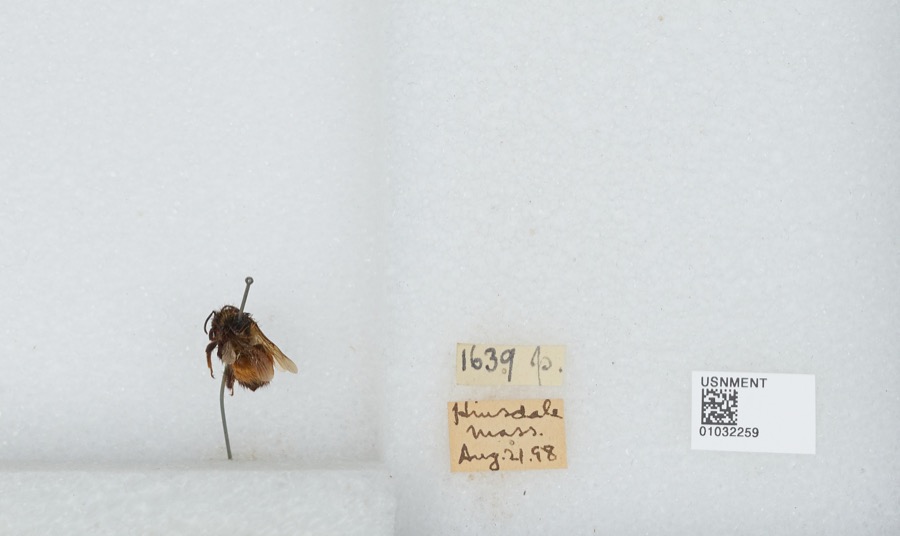
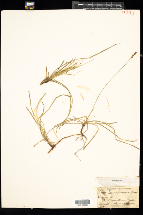
evidence. Museums hold 1,006 specimens
collected within 10 miles of Cheshire Town Hall Complex between 1828 and
1975: 530 Plantae, 235 Animalia, 232 Fungi, 7 Unrecorded, 2 Protozoa. 12 distinct Species records are shown.
Collected by A K Harrison, A Schwartz, A. H. Gustafson and others. Each is a
physical object with a catalogue
number, and each entry opens the museum's record. This is what was
collected and kept, not a survey of what lives here - nothing can be
concluded from a species being absent.
Regional context, not property-specific
evidence. The federal mineral resources record lists
15 workings within 5 miles of Cheshire Town Hall Complex: 10 past producers, 3 producers, 1 occurrence, 1 prospect.
3 still produce. What was taken out: Iron, Sand and Gravel, Construction, Limestone, General, Stone, Crushed/Broken. Distance is straight-line from the
map coordinates, so a quarry counted here may appear on a neighbouring
settlement's page as well.
Regional context, not property-specific
evidence. The National Weather Service names
Cheshire, the town this property stands in, in 25 storm reports between 1997 and 2024: 20 thunderstorm wind, 3 flash flood, 2 hail.
No death or injury is recorded in these reports. Each account below is quoted exactly as the forecast office
filed it, from the NOAA Storm Events Database, and each date
opens the federal record of that event.
An ice jam broke loose along Kitchen Brook, which overflowed its banks and covered a section of Route 8 with large chunks of ice. Flood waters flowed into a nearby parking lot, covering it in around a foot of water. Route 8 remained closed for around an hour.
Numerous trees were downed along the Ashuwillticook Rail Trail in Cheshire. The trees were downed along the trail between the Cheshire Reservoir and East Main Street. Several of the trees that fell nearly hit a person walking along the trail.
Trees, power poles and wires were downed on East Main Street in Cheshire due to thunderstorm winds. The road was temporarily closed due to the downed trees and wires. A garage was damaged by the downed trees and one of the trees also fell on a home as well.
No historic map-sheet match is published
for this property yet. That does not mean no map exists. This record needs
a coordinate-quality review before it can be joined to a sheet boundary.
Browse the county's mapped places while that work is
pending.
Named in the fire insurance atlases
Sanborn surveyors printed an index of the
town's establishments at the front of each atlas. This property is named in
one, read straight off the scanned sheet.
Other National Register properties close
enough to walk or drive between, ordered by distance from this one. Both
positions come from the same geocoding pass that matched these properties
to their map sheets.
Listing record. National Park Service National Register of Historic Places, listed-properties dataset, current to 2026-05-22.
Map join. Address geocoded through the United States Census geocoder, then tested against the published boundary of every sheet in the USGS Historical Topographic Map Collection.
How this page is made. Listing fields come from federal records; map-sheet coverage is a labelled coordinate-to-boundary calculation, not a source-field claim.
Wildfire. Short, Karen C. 2022. Spatial wildfire occurrence data for the United States, 1992-2020 [FPA_FOD_20221014]. 6th Edition. Fort Collins, CO: Forest Service Research Data Archive. https://doi.org/10.2737/RDS-2013-0009.6 Collected with United States Government funding and usable without additional permissions or fees.
Specimens. Global Biodiversity Information Facility (GBIF), https://www.gbif.org/. Only records licensed CC0 or CC BY are used. Records licensed CC BY-NC are excluded because this site carries advertising. Images are checked individually and any whose licence is non-commercial, no-derivatives or unreadable is refused.
Mines and quarries. USGS Mineral Resources Data System (MRDS) https://mrdata.usgs.gov/mrds/ A work of the United States government, no copyright under 17 U.S.C. 105.
Storms. NOAA National Centers for Environmental Information, Storm Events Database https://www.ncei.noaa.gov/stormevents/ A work of the United States government, no copyright under 17 U.S.C. 105. Narratives are quoted verbatim from the National Weather Service report and are not edited or summarised.
 Block
Block