Listed on the National Register of Historic Places in
1986. A historic map-sheet match is not published yet. The record needs a coordinate-quality review before it can be joined to a sheet boundary.
From the record
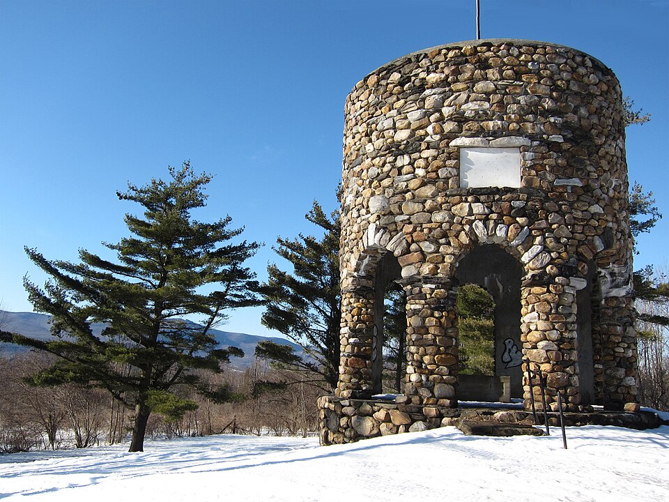
“The Stafford Hill Memorial is a stone memorial on Stafford Hill Road in Cheshire, Massachusetts. The memorial was built in 1927 to commemorate the grave site of Joab Stafford, who settled in what is now Cheshire in 1767.”
Wikipedia article Stafford Hill Memorial, CC BY-SA 4.0.
one of 94 National Register listings in Berkshire County · listed in 1986 · category: Structure · one of 1 National Historic Landmarks in Berkshire County.
National Register reference number.86000260- the number the National Park Service assigned this property when it was listed, and the key its nomination file is catalogued under at the National Archives.
Fires near this property
18 since 2015
Regional context, not property-specific
evidence. The
federal wildfire occurrence database
lists 18 fires within 5 miles of Stafford Hill Memorial between
2015 and 2018, burning about 10 acres in total. 2 started naturally. None was recorded as arson.
Distance is straight-line from the map coordinates, so a fire counted
here may appear on a neighbouring settlement's page as well.
Reported cause
Fires
Debris and open burning
7
Equipment and vehicle use
5
Recreation and ceremony
3
Natural
2
Missing data/not specified/undetermined
1
The most recent of
them, most recent first, with the day each was reported and the service
that recorded it.
Regional context, not property-specific
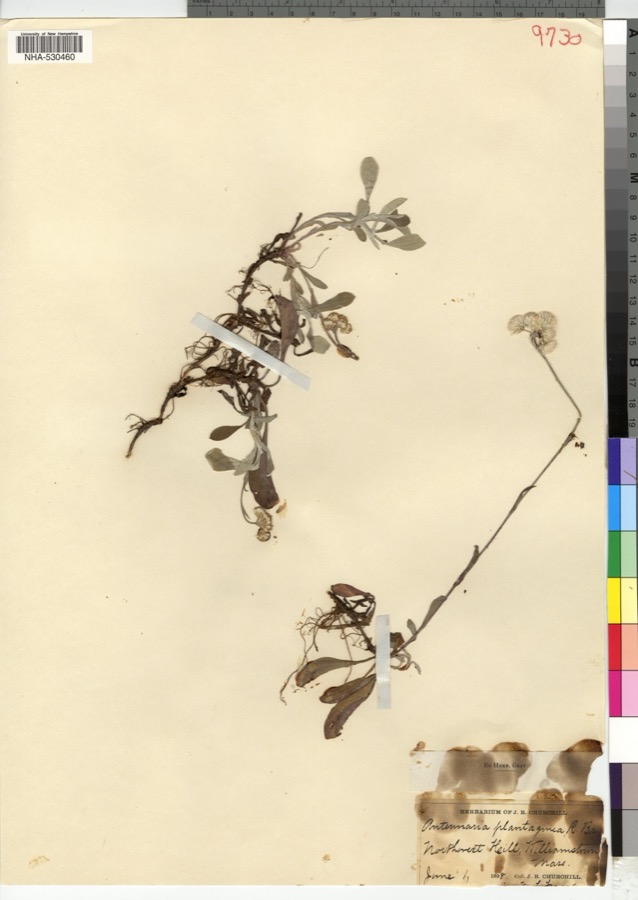
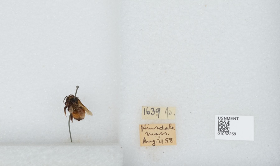
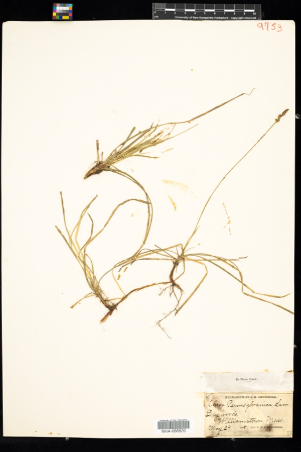
evidence. Museums hold 893 specimens
collected within 10 miles of Stafford Hill Memorial between 1828 and
1975: 488 Plantae, 220 Animalia, 174 Fungi, 7 Unrecorded, 2 Chromista, 2 Protozoa. 12 distinct Species records are shown.
Collected by A K Harrison, A Schwartz, A. H. Gustafson and others. Each is a
physical object with a catalogue
number, and each entry opens the museum's record. This is what was
collected and kept, not a survey of what lives here - nothing can be
concluded from a species being absent.
Regional context, not property-specific
evidence. The federal mineral resources record lists
17 workings within 5 miles of Stafford Hill Memorial: 8 past producers, 5 producers, 3 occurrences, 1 prospect.
5 still produce. What was taken out: Iron, Sand and Gravel, Construction, Stone, Crushed/Broken, Limestone, General. Distance is straight-line from the
map coordinates, so a quarry counted here may appear on a neighbouring
settlement's page as well.
Regional context, not property-specific
evidence. The National Weather Service names
Cheshire, the town this property stands in, in 25 storm reports between 1997 and 2024: 20 thunderstorm wind, 3 flash flood, 2 hail.
No death or injury is recorded in these reports. Each account below is quoted exactly as the forecast office
filed it, from the NOAA Storm Events Database, and each date
opens the federal record of that event.
An ice jam broke loose along Kitchen Brook, which overflowed its banks and covered a section of Route 8 with large chunks of ice. Flood waters flowed into a nearby parking lot, covering it in around a foot of water. Route 8 remained closed for around an hour.
Numerous trees were downed along the Ashuwillticook Rail Trail in Cheshire. The trees were downed along the trail between the Cheshire Reservoir and East Main Street. Several of the trees that fell nearly hit a person walking along the trail.
Trees, power poles and wires were downed on East Main Street in Cheshire due to thunderstorm winds. The road was temporarily closed due to the downed trees and wires. A garage was damaged by the downed trees and one of the trees also fell on a home as well.
No historic map-sheet match is published
for this property yet. That does not mean no map exists. This record needs
a coordinate-quality review before it can be joined to a sheet boundary.
Browse the county's mapped places while that work is
pending.
From the nomination file
3,981 words on record
When this property was proposed for the
National Register, someone wrote the case for it: what the building is,
and why it matters. That document is a federal record in the public domain.
It is quoted below word for word, never summarised. The text was read off the scanned case file by machine, so the
occasional stray character is the recogniser's and the 1970s
typewriter's.
Description of the property
The Stafford Hill Memorial is a tall cylindrical structure constructed of local fieldstone in random rubble construction. The tower is located near the crest of Stafford Hill (elevation 15301) in Cheshire, a tiny rural hill town just south of Adams, Massachusetts in northern Berkshire County. The Memorial is sited on an open, grassy lot 434' west of Stafford Hill Road. Its lot abuts the Stafford Hill Wildlife Management Area to the south and commands a dramatic vista of the Berkshire hills. The Stafford Hill Memorial occupies a 1.28 acre lot which comprises a small portion of Colonel Stafford's house lot #5. On house lot #5, originally a 200 acre farm, Stafford constructed his own house, which served as a tavern, and a post office and store. No buildings remain on the site today.
It is unlikely that any archaeological features associated with Stafford's farm remain within the memorial lot; however, the potential for archaeological remains related to Stafford's and later occupancies is moderately high in the immediately surrounding area. The Memorial stands 25 feet in diameter and consists of a simple cylinder pierced at its base with eight arched entries to the interior of the monument. The monument rises 25 feet to a flat roof which is topped with a flagpole. Above the south arch is an inset marble plaque (3' X 4'), inscribed 1927 " Erected in Memory of the Pioneers and Patriots of New Providence, Three other plaques once occupied niches at the other compass points.
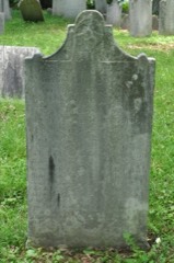
The interior of the Memorial is finished with concrete walls (a recent treatment, 1967) and contains a 56" X 32" concrete crypt in which is set the arched marble tombstone (36" X 20") of Colonel Joab Stafford. The crypt contains the remains of Colonel Stafford.
(in one paragraph) landscape architecture law *literature military music - philosophy politics government religion science sculpture social/ humanitarian theater transportation other (specify) Eugene B. Bowern/Newton C. Bond The Stafford Hill Memorial commemorates the life of Colonel Joab Stafford (1730-1802), the surveyor and first settler of New Providence (now Cheshire), Massachusetts and commander of the local "Silver Greys" militia, who fought at the Battle of Bennington, August 16, 1777. The memorial stands on the site of Cheshire's first settlement, Colonel Stafford's farmstead. Erected in 192/, the memorial is a modest fieldstone structure marking and protecting the grave of Colonel Stafford, which was relocated to the memorial from a nearby cemetery at the time of construction.
The Memorial retains integrity of Best ter oe Fit ote Pitoce on ene Tecoi leve sethe greve a an is toneae figure of outstanding local importance to 18th century Cheshire, the memorial meets exception C of the National Register. There are no other known sites or extant buildings directly associated with Stafford's productive life. In addition, the Stafford Hill Memorial, a property primarily commemorative in intent, is invested with symbolic value on the local level as a memorial to the town's greatest Revolutionary War hero and pioneering settler, Joab Stafford. Thus, it meets exception F of the National Register. Stafford Hill or New Providence plantation consisted of a 2 X 3 mile tract of 5500 acres comprising the north part of present-day Cheshire.
Prior to English settlement, the tract was divided between the towns of Hatfield and Worthington, Massachusetts in 1762 and 1765 to allow additional lands for those two towns. In 1765 and 1766, the two towns sold their lands to 1and speculators, Nicholas Cook and Joseph Bennett of Coventry, Rhode Island.
Quoted from the National Register nomination
for reference 86000260, 24 pages, held by the National Archives in Record
Group 79. See the
catalogue record.
Listed places nearby
6 within 8 miles
Other National Register properties close
enough to walk or drive between, ordered by distance from this one. Both
positions come from the same geocoding pass that matched these properties
to their map sheets.
Listing record. National Park Service National Register of Historic Places, listed-properties dataset, current to 2026-05-22.
Map join. Address geocoded through the United States Census geocoder, then tested against the published boundary of every sheet in the USGS Historical Topographic Map Collection.
How this page is made. Listing fields come from federal records; map-sheet coverage is a labelled coordinate-to-boundary calculation, not a source-field claim.
Wildfire. Short, Karen C. 2022. Spatial wildfire occurrence data for the United States, 1992-2020 [FPA_FOD_20221014]. 6th Edition. Fort Collins, CO: Forest Service Research Data Archive. https://doi.org/10.2737/RDS-2013-0009.6 Collected with United States Government funding and usable without additional permissions or fees.
Specimens. Global Biodiversity Information Facility (GBIF), https://www.gbif.org/. Only records licensed CC0 or CC BY are used. Records licensed CC BY-NC are excluded because this site carries advertising. Images are checked individually and any whose licence is non-commercial, no-derivatives or unreadable is refused.
Mines and quarries. USGS Mineral Resources Data System (MRDS) https://mrdata.usgs.gov/mrds/ A work of the United States government, no copyright under 17 U.S.C. 105.
Storms. NOAA National Centers for Environmental Information, Storm Events Database https://www.ncei.noaa.gov/stormevents/ A work of the United States government, no copyright under 17 U.S.C. 105. Narratives are quoted verbatim from the National Weather Service report and are not edited or summarised.
 Block
Block