Block
From the record
One of 1,353 National Register listings published here for Middlesex County · listed in 2017 · category: Building.
Sources: the National Register database, National Park Service · the Wikipedia article
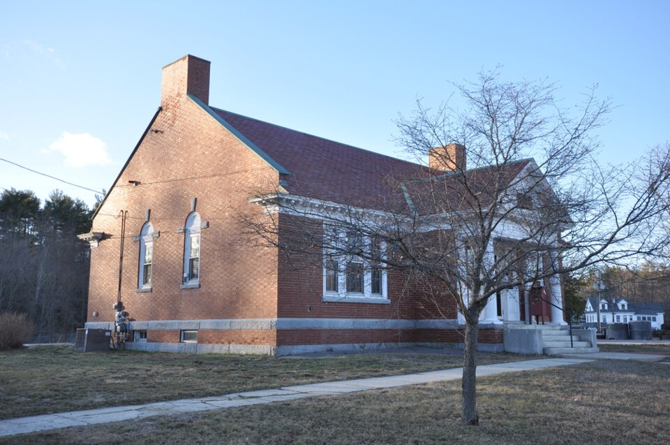
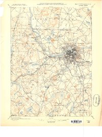
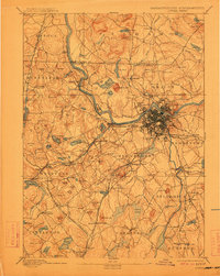
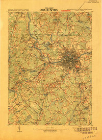
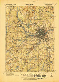
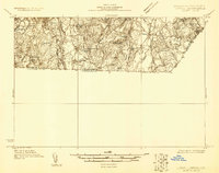
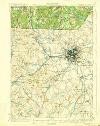
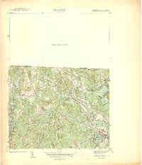
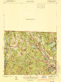
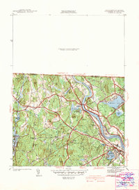
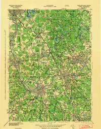
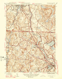
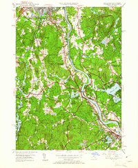
Listed on the National Register of Historic Places in 2017. 21 historic topographic surveys show this location, the earliest from 1886.
One of 1,353 National Register listings published here for Middlesex County · listed in 2017 · category: Building.
Sources: the National Register database, National Park Service · the Wikipedia article
The chapter on Tyngsborough Town in History of Middlesex County, Massachusetts : Containing Carefully Prepared Histories of Every City and Town in the County, published 1880 names Tyngsborough. This is what it says, exactly as the scans read.
So far as known, the first white settler in what ! is now the town of Tyngsborough was John Crom- 1 well, a fur-trader, who, some time prior to 1661, I purchased of Captain Edward Johnson of Woburn j three hundred acres of land on the right bank of I the Merrimack River, built a house, and miide I some iuiprovements on his farm. He died in 1601, leaving a widow. Seaborne Cromwell, and I an estate valued at £608 2*. %d. His servants ' were Thomas Williams and Walter Shepherd, who ] in 1702 testified in respect to the estate. The land subsequently came into the possession of Henry Farwell, and then into that of the Bancroft fauiily. I It is said, though with but little appearance of I truth, that Cromwell was accustomed to use his foot in weighing the peltries which he bought of the Jndians, and that they at length became so \ much incensed at him for unfair dealing with ! them, that they made an assault upon his house, - he and his family having only time to escape into the wilderness," - and then reduced it to ashes. The cellar of the house is still visible, and a sum of money was found buried in an iron pot near by it. In his account of Tyngsborough (October, 1815) the Rev. Mr. Prentice says: "Some time after, pewter was found in the well, and an iron pot and trammel in the sand ; the latter are preserved. The present owner of the place was ploughing near the spot, and found his plough moving over a flat stone which gave a hollow sound. On removhig the earth and stone, he discovered a hole stoned, about six inches in diameter, from which he took a sum of money." Such discoveries were no doubt made, but there is no evidence, except tradition, that Cromwell buried the money, or that his house was destroyed by the savages. The inventory of his estate, as given by his widow, seems to disprove the whole story.
Passage source: History of Middlesex County, Massachusetts : Containing Carefully Prepared Histories of Every City and Town in the County, published 1880.
The celebrated Joe English, grandson of Masconomo, sagamore of Ipswich, was shot by the Indians, near Holden's Brook, in what is now Tyngsborough, on the 27th of July, 1706. He was acting as a guard to Captain Butterfield and wife, who were travelling on horseback. Killing the liorse and taking Mrs. Butterfield captive, the Indians then pursued Joe English, firing at him and wounding him while attempting to shelter himself behind a clump of trees. To escape the torture of the savages, he insulted them with taunting words, when they at once despatched him with their tomahawks! His widow and his two children received a grant of money from the government, because " he died in the service of his country."
Passage source: History of Middlesex County, Massachusetts : Containing Carefully Prepared Histories of Every City and Town in the County, published 1880.
Machine-read from a century-old scan, so expect the errors a machine makes: misspelled names, dropped words, stray characters.
Read the whole chapter on Tyngsborough Town - 13,007 words on its settlement, mills, schools and churches.
Regional context, not property-specific evidence. The federal wildfire occurrence database lists 58 fires within 5 miles of Winslow School and Littlefield Library between 2001 and 2020, burning about 38 acres in total. None started naturally. 19 were recorded as arson. Distance is straight-line from the map coordinates, so a fire counted here may appear on a neighbouring settlement's page as well.
| Reported cause | Fires |
|---|---|
| Arson/incendiarism | 19 |
| Debris and open burning | 14 |
| Missing data/not specified/undetermined | 13 |
| Recreation and ceremony | 10 |
| Railroad operations and maintenance | 1 |
| Smoking | 1 |
The most recent of them, most recent first, with the day each was reported and the service that recorded it.
| Date | Cause | Size | Reported by | Name on the report |
|---|---|---|---|---|
| 6 September 2002 | Smoking | under an acre | Massachussetts State Fire Marshal's Office | not named |
| 26 September 2015 | Recreation and ceremony | under an acre | Massachusetts Bureau of Forest Fire Control | not named |
| 22 September 2002 | Arson/incendiarism | under an acre | Massachussetts State Fire Marshal's Office | not named |
| 9 August 2002 | Missing data/not specified/undetermined | under an acre | Massachussetts State Fire Marshal's Office | not named |
| 5 August 2002 | Arson/incendiarism | under an acre | Massachussetts State Fire Marshal's Office | not named |
| 4 August 2002 | Arson/incendiarism | 1.0 acres | Massachussetts State Fire Marshal's Office | not named |
| 18 August 2002 | Debris and open burning | 1.0 acres | Massachussetts State Fire Marshal's Office | not named |
| 17 August 2020 | Debris and open burning | under an acre | Massachusetts Bureau of Forest Fire Control | not named |
Regional context, not property-specific evidence. Museums hold 431 specimens collected within 10 miles of Winslow School and Littlefield Library between 1898 and 1975: 308 Plantae, 62 Protozoa, 28 Fungi, 26 Animalia, 4 Unrecorded, 3 Chromista. 12 distinct Species records are shown. Collected by A. F. Newton, A. F. Newton, M. K. Thayer, A. J. S. and others. Each is a physical object with a catalogue number, and each entry opens the museum's record. This is what was collected and kept, not a survey of what lives here - nothing can be concluded from a species being absent.
| Image | Species | Year | Collected by | Where, as recorded |
|---|---|---|---|---|
 | Exosporium pusillum P.Karst. | 1898 | King C. A. | Stony Brook |
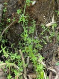 | Galium tinctorium (L.) Scop. | 1899 | not recorded | |
| Araiospora pulchra Thaxt. | 1900 | Thaxter, R. | Stony Brook | |
 | Boletus frostii J.L.Russell | 1900 | A. W. Flint | |
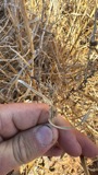 | Cenchrus spinifex Cav. | 1900 | C. H. Knowlton | N Chelmsford. |
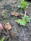 | Pholiota carbonaria (Fr.) Singer | 1900 | H. Webster | Groton. |
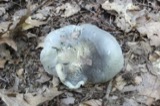 | Tricholoma acris Peck | 1900 | not recorded | |
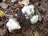 | Tricholoma columbetta (Fr.) P.Kumm. | 1900 | Mrs. Page | |
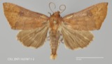 | Alabama argillacea (Hübner, 1823) | 1930 | not recorded | Lowell |
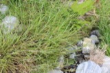 | Alopecurus aequalis Sobol. | 1930 | M. L. Fernald; C. A. Weatherby | |
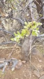 | Salix bebbiana Sarg. | 1930 | J. Straughan | |
| unnamed | 1950 | A. R. Hodgdon; J. Straughan | 1 1/4 miles south of Pelham Village |
All 431 specimens within 10 miles, at the Global Biodiversity Information Facility.
Regional context, not property-specific evidence. The federal mineral resources record lists 25 workings within 5 miles of Winslow School and Littlefield Library: 15 past producers, 9 producers, 1 plant. 10 still produce. What was taken out: Sand and Gravel, Construction, Granite, Stone, Crushed/Broken. Distance is straight-line from the map coordinates, so a quarry counted here may appear on a neighbouring settlement's page as well.
| Where | Site | Commodity | Status | Recorded |
|---|---|---|---|---|
| Chelmsford Mill | Stone, Crushed/Broken | Plant | ||
| West Chelmsford Quarry | Stone, Crushed/Broken | Producer | ||
| Fletcher Westford Quarry | Granite | Producer | ||
| Forest Road Quarry | Granite | Past Producer | ||
| Guilmette Bros Granite | Granite | Past Producer | Granite | |
| H E Fletcher Co | Granite | Past Producer | Granite | |
| Le Masurier Granite Quarry Inc | Granite | Past Producer | Granite | |
| Le Masurier Quarry and Mill | Granite | Producer | ||
| North Chelmsford Quarry | Granite | Producer | ||
| Oak Hill Quarry | Granite | Past Producer |
United States Geological Survey topographic sheets whose coverage includes this point. Matched by taking the coordinate the National Park Service records for this property, then testing that coordinate against the published boundary of every sheet.
Other National Register properties close enough to walk or drive between, ordered by distance from this one. Both positions come from the same geocoding pass that matched these properties to their map sheets.
| Photograph | Property | Distance | Listed |
|---|---|---|---|
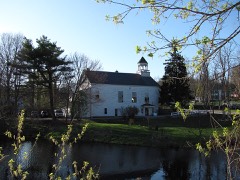 | Old Town Hall | 0.1 miles | 2005 |
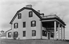 | Col. Jonathan Tyng House | 1.4 miles | 1977 |
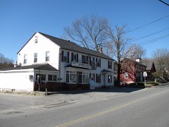 | Dunstable Center Historic District | 3.0 miles | 2018 |
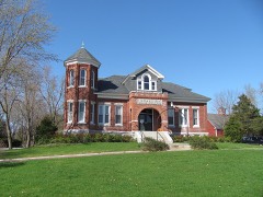 | Dunstable Town Hall | 3.2 miles | 1999 |
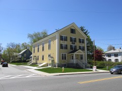 | North Town Hall | 3.5 miles | 2015 |
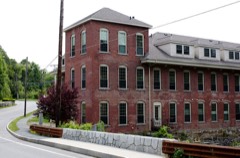 | Brookside Historic District | 4.7 miles | 2003 |
| National Archives record | The nomination case file for reference 100000722 in Record Group 79. |
| Wikipedia article | Community-written account of this property, licensed CC BY-SA. |
| Middlesex County | All 1353 listed properties in this county. |