Listed on the National Register of Historic Places in
2019. A historic map-sheet match is not published yet. The record needs a coordinate-quality review before it can be joined to a sheet boundary.
From the record
“David Wilder, died at his residence in North Leominster Friday, Sept. 21st, 1866, aged 88 years. No citizen of Leominster, probably, ever held more offices of trust given by the people.”
Leominster, Massachusetts, Historical and Picturesque (1888). Machine-read text.
one of 500 National Register listings in Worcester County · listed in 2019 · category: Building · one of 1 National Historic Landmarks in Worcester County.
Mr. Joseph G. Tennev, the present superintendent of the Water Works, has occupied that position and has also been treasurer of the board since 1879. He was born in Leominster, Aug. 5, 1825, educated in the public schools of the town, learned the carpenter's trade and began the business of carpenter and builder for himself, while yet in his minority. At the age of twenty he contracted to build his first house for his sister, Mrs. Maynard, on Pleasant street, and soon after the A, O. Wilder house on West street. In 1850 he built a residence for himself on Water street, where he first began housekeeping and where he has since lived. In 1859, Mr. Tenney went South, but was sent for by Isaac Covvdrey to return and help him build a house for Porter M. Kimball. This he did, and continued in business with Mr. Cowdrey for some time. In 1864 he engaged in the Piano business with J. P. Lockey, and in 1867 became the first treasurer of the Arlington Piano Co. In 1870 he began outside, the manufacture of sounding boards, for the same company, erecting the building opposite his residence on Water street, for that purpose. He was associated with the Stratton brothers at Strattons' mills in 1871, bought out their interest, and in 1874 entered into partnership with Captain Clesson Kenney, under the style of Tenney & Kenney, continuing for five years, after which time the latter conducted the lumber business and Mr. Tenney gave his attention to the management of the Water Department for the town.
EPTEMBER 1743, the first church in Leominster was organized and Rev. John Rogers, a lineal descendant of the martyr of that name, was ordained their first minister. The frame of the first meeting house was raised in the summer of 1741, on land purchased for that purpose of Ebenezer Houghton, and situated in the northeast corner «of what is now the old burying ground. The building was far enough towards completion in the winter of 1742, so as to have a month's preaching in it. It was 45 feet in length, 35 in width and 22 feet high. It was rough boarded on the outsides with few windows, and within only a loose floor and movable seats or benches. There were no pews for several years and the outside was not finished and painted until 1753. This house was used not only for public worship, but as a town house, and the town meetings were held in it for over thirty years. In 1775 it was sold at public auction to the Baptist society in Harvard, taken down and carried to " Still River," and for a long time was used by them as a place of worship until they were about to build a larger house, when they moved the old one across the street, and fitted it up for a parsonage. On account of differences in opinion between himself and his people, about minor doctrinal points of religion, Mr. Rogers was dismissed in 1757, but about one-fifth of the society adhering to him, a " poll Society " was made of them by the Legislature, to whom he preached until prevented by the infirmities of age, and was dismissed by them in 1788.
Regional context, not property-specific
evidence. The
federal wildfire occurrence database
lists 181 fires within 5 miles of Jewett Piano Company Building between
2015 and 2020, burning about 186 acres in total. None started naturally. None was recorded as arson.
Distance is straight-line from the map coordinates, so a fire counted
here may appear on a neighbouring settlement's page as well.
Reported cause
Fires
Debris and open burning
76
Missing data/not specified/undetermined
66
Smoking
26
Recreation and ceremony
12
Power generation/transmission/distribution
1
The most recent of
them, most recent first, with the day each was reported and the service
that recorded it.
Regional context, not property-specific
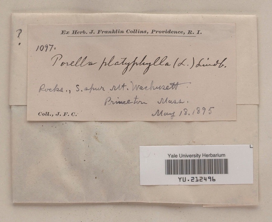
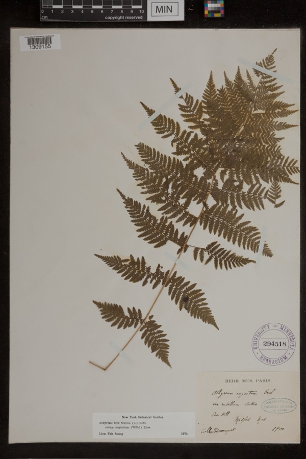
evidence. Museums hold 1,560 specimens
collected within 10 miles of Jewett Piano Company Building between 1864 and
1974: 1,053 Animalia, 321 Plantae, 167 Fungi, 8 Unrecorded, 8 Chromista, 3 Protozoa. 12 distinct Species records are shown.
Collected by A. B. Seymour, A. C. Gibson, A. Ferrett and others. Each is a
physical object with a catalogue
number, and each entry opens the museum's record. This is what was
collected and kept, not a survey of what lives here - nothing can be
concluded from a species being absent.
Regional context, not property-specific
evidence. The federal mineral resources record lists
9 workings within 5 miles of Jewett Piano Company Building: 3 past producers, 2 occurrences, 2 producers, 1 prospect.
2 still produce. What was taken out: Sand and Gravel, Construction, Stone, Crushed/Broken, Tungsten, Lithium, Tin. Distance is straight-line from the
map coordinates, so a quarry counted here may appear on a neighbouring
settlement's page as well.
Regional context, not property-specific
evidence. The National Weather Service names
Leominster, the town this property stands in, in 28 storm reports between 1998 and 2024: 12 thunderstorm wind, 8 flash flood, 3 lightning, 3 flood.
No death or injury is recorded in these reports. Each account below is quoted exactly as the forecast office
filed it, from the NOAA Storm Events Database, and each date
opens the federal record of that event.
The Nashua River at Clinton rose to flood stage after three to six inches of rain fell across Worcester County. Two factories in Clinton were closed after ten feet of water flooded the basements. In addition, two to three hundred feet of railroad tracks were washed out. Several cars were submerged in flood waters throughout Clinton. Two sections of Clinton were flooded: the Main and Church Streets area, where Coachlace Pond overflowed a culvert and the Water Street section near the Nashua River. Many streets were closed and several businesses along Main Street were damaged by floodwaters. The U-Haul storage facility on High Street was flooded. Several apartments throughout town were evacuated, but no concrete numbers were reported. The overflow from Coachlace Pond washed out a rail bed, dislodging the tracks and halting trains.||Several smaller brooks and streams also overflowed their banks resulting in basements, parking lots, and yards flooding in Leominster, Clinton, and Westminster. Near the Mall at Whitney Field in Leominster, two vehicles were submerged and their drivers rescued when the Monoosnock Brook overflowed its banks, one was an armored car. Several roads in Leominster, Lancaster, Fitchburg, Sterling, and Westminster were closed due to flooding.
A lightning strike sparked a large house fire at 41 Bicentennial Drive in Leominster on the 16th. A family pet (dog) was killed in the fire. The fire caused nearly $300,000 in damage to the house.
Leominster: Lancaster Street under the bridge was flooded. Cars were stuck in flood waters on Route 117 by the shopping plaza. Manhole covers were pushed out by flooding on West Street. The police department parking lot was flooded. Three cars were stuck in flood waters on Mechanic Street. Central Street was flooded with three feet of water.||Fitchburg: Water was a foot deep on John Fitch Highway and the adjoining parking lot.
Several roads were flooded with water up to the car bumpers and people being rescued. Two homes were also flooded, one on Willard Street and another on Johnson Street. Phone service was out at these homes.
No historic map-sheet match is published
for this property yet. That does not mean no map exists. This record needs
a coordinate-quality review before it can be joined to a sheet boundary.
Browse the county's mapped places while that work is
pending.
Listed places nearby
6 within 8 miles
Other National Register properties close
enough to walk or drive between, ordered by distance from this one. Both
positions come from the same geocoding pass that matched these properties
to their map sheets.
Listing record. National Park Service National Register of Historic Places, listed-properties dataset, current to 2026-05-22.
Map join. Address geocoded through the United States Census geocoder, then tested against the published boundary of every sheet in the USGS Historical Topographic Map Collection.
How this page is made. Listing fields come from federal records; map-sheet coverage is a labelled coordinate-to-boundary calculation, not a source-field claim.
Wildfire. Short, Karen C. 2022. Spatial wildfire occurrence data for the United States, 1992-2020 [FPA_FOD_20221014]. 6th Edition. Fort Collins, CO: Forest Service Research Data Archive. https://doi.org/10.2737/RDS-2013-0009.6 Collected with United States Government funding and usable without additional permissions or fees.
Specimens. Global Biodiversity Information Facility (GBIF), https://www.gbif.org/. Only records licensed CC0 or CC BY are used. Records licensed CC BY-NC are excluded because this site carries advertising. Images are checked individually and any whose licence is non-commercial, no-derivatives or unreadable is refused.
Mines and quarries. USGS Mineral Resources Data System (MRDS) https://mrdata.usgs.gov/mrds/ A work of the United States government, no copyright under 17 U.S.C. 105.
Storms. NOAA National Centers for Environmental Information, Storm Events Database https://www.ncei.noaa.gov/stormevents/ A work of the United States government, no copyright under 17 U.S.C. 105. Narratives are quoted verbatim from the National Weather Service report and are not edited or summarised.
 Block
Block