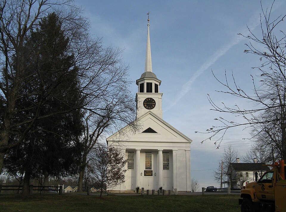
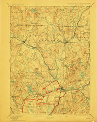
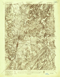
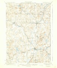
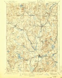
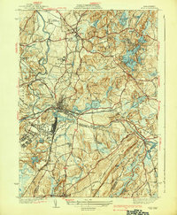
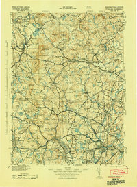
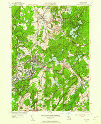
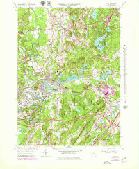
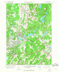
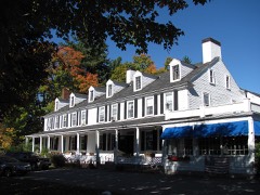
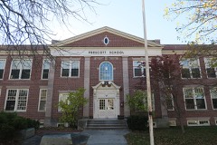
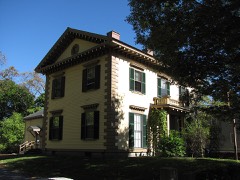
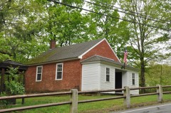
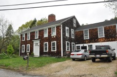
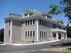
Built in 1755 (Greek Revival architecture). Listed on the National Register of Historic Places in 2021. 16 historic topographic surveys show this location, the earliest from 1893.
From the record
“Sect, i Be it enacted by the Senate and House of Representatives, in General Court assembled, and by the authority of the same, That Oliver Prescott, James Brazer, Thomas Gardner, Joseph Moors, Aaron Brown, Luther Lawrence, William Merchant Richardson, esq. Benjamin Woods Parker, William Nutting, Jacob Lakin Parker, James Lewis, jun. and Joseph Fletcher Hall, all of Groton aforesaid, the Rev.”
Groton Historical Series. A Collection of Papers Relating to the History of the Town of Groton, Massachusetts (1887). Machine-read text.
One of 1,353 National Register listings published here for Middlesex County · listed in 2021 · category: Building · built in 1755, Greek Revival architecture.
A Register of Births, Deaths, and Marriages in Groton, 1664-1693, and of Marriages, 1713-1793, as Copied from the Middlesex County Records ; also a List of Marriages sent to the Town Clerk of Groton, under Chapter LXXXIV Section 4, of the Acts of 1857, and some from other Sources ; with an Appendix.
My dear Sir, - To one so familiar with the history of Groton, in all its departments and records, from the foundation of the town, I am aware that no slipshod reminiscences of my short visit to that place so long ago, can be of much interest or of any use ; and without the pen of Sir Walter or the mallet and chisel of Old Mortality to scrape off the moss and to restore the inscriptions in the churchyard of my memory, any attempt will be in vain.
Regional context, not property-specific
evidence. The
federal wildfire occurrence database
lists 42 fires within 5 miles of First Parish Church of Groton
between 2015 and 2020, burning about 29 acres in total. None started naturally. 1 was recorded as arson.
Distance is straight-line from the map coordinates, so a fire counted
here may appear on a neighbouring settlement's page as well.
Reported cause
Fires
Debris and open burning
25
Missing data/not specified/undetermined
11
Recreation and ceremony
2
Railroad operations and maintenance
1
Arson/incendiarism
1
Equipment and vehicle use
1
Smoking
1
The most recent of
them, most recent first, with the day each was reported and the service
that recorded it.
Regional context, not property-specific
evidence. Museums hold 377 specimens
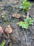
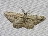
collected within 10 miles of First Parish Church of Groton between 1900 and 1975: 242 Animalia, 62 Protozoa, 39 Plantae, 29 Fungi, 4 Unrecorded, 1 Chromista.
12 distinct Species records are shown.
Collected by A. C. Gibson, A. F. Newton, A. F. Newton, M. K. Thayer and others. Each is a
physical object with a catalogue
number, and each entry opens the museum's record. This is what was
collected and kept, not a survey of what lives here - nothing can be
concluded from a species being absent.
Regional context, not property-specific
evidence. The federal mineral resources record lists
6 workings within 5 miles of First Parish Church of Groton: 6 past producers.
None of them still produces. What was taken out: Sand and Gravel, Construction. Distance is straight-line from the
map coordinates, so a quarry counted here may appear on a neighbouring
settlement's page as well.
Regional context, not property-specific
evidence. The National Weather Service names
Groton, the town this property stands in, in 18 storm reports between 1995 and 2023: 13 thunderstorm wind, 3 hail, 2 flash flood.
No death or injury is recorded in these reports. Each account below is quoted exactly as the forecast office
filed it, from the NOAA Storm Events Database, and each date
opens the federal record of that event.
United States Geological Survey topographic
sheets whose coverage includes this point. Matched by taking the coordinate the National Park Service records for this property, then
testing that coordinate against the published boundary of every sheet.
Other National Register properties close
enough to walk or drive between, ordered by distance from this one. Both
positions come from the same geocoding pass that matched these properties
to their map sheets.
Listing record. National Park Service National Register of Historic Places, listed-properties dataset, current to 2026-05-22.
Map join. Address geocoded through the United States Census geocoder, then tested against the published boundary of every sheet in the USGS Historical Topographic Map Collection.
How this page is made. Listing fields come from federal records; map-sheet coverage is a labelled coordinate-to-boundary calculation, not a source-field claim.
Wildfire. Short, Karen C. 2022. Spatial wildfire occurrence data for the United States, 1992-2020 [FPA_FOD_20221014]. 6th Edition. Fort Collins, CO: Forest Service Research Data Archive. https://doi.org/10.2737/RDS-2013-0009.6 Collected with United States Government funding and usable without additional permissions or fees.
Specimens. Global Biodiversity Information Facility (GBIF), https://www.gbif.org/. Only records licensed CC0 or CC BY are used. Records licensed CC BY-NC are excluded because this site carries advertising. Images are checked individually and any whose licence is non-commercial, no-derivatives or unreadable is refused.
Mines and quarries. USGS Mineral Resources Data System (MRDS) https://mrdata.usgs.gov/mrds/ A work of the United States government, no copyright under 17 U.S.C. 105.
Storms. NOAA National Centers for Environmental Information, Storm Events Database https://www.ncei.noaa.gov/stormevents/ A work of the United States government, no copyright under 17 U.S.C. 105. Narratives are quoted verbatim from the National Weather Service report and are not edited or summarised.
 Block