 Block
BlockFrom the record
one of 137 National Register listings in Summit County · listed in 2021 · category: Building · one of 1 National Historic Landmarks in Summit County.
Sources: the National Register database, National Park Service

Listed on the National Register of Historic Places in 2021. A historic map-sheet match is not published yet. The record needs a coordinate-quality review before it can be joined to a sheet boundary.
one of 137 National Register listings in Summit County · listed in 2021 · category: Building · one of 1 National Historic Landmarks in Summit County.
Sources: the National Register database, National Park Service
Regional context, not property-specific evidence. The federal wildfire occurrence database lists 5 fires within 5 miles of Oviatt, Orson Minot, House between 1994 and 2012, burning about 1 acres in total. 1 started naturally. 1 was recorded as arson. Distance is straight-line from the map coordinates, so a fire counted here may appear on a neighbouring settlement's page as well.
| Reported cause | Fires |
|---|---|
| Equipment and vehicle use | 1 |
| Natural | 1 |
| Debris and open burning | 1 |
| Arson/incendiarism | 1 |
| Missing data/not specified/undetermined | 1 |
The most recent of them, most recent first, with the day each was reported and the service that recorded it.
| Date | Cause | Size | Reported by | Name on the report |
|---|---|---|---|---|
| 8 August 2012 | Natural | under an acre | Cuyahoga Valley National Park | RIVERVIEW ROAD |
| 22 June 1997 | Equipment and vehicle use | under an acre | Cuyahoga Valley National Park | ERDOS |
| 15 June 2001 | Arson/incendiarism | under an acre | Cuyahoga Valley National Park | KEEBLER |
| 17 May 1994 | Debris and open burning | under an acre | Cuyahoga Valley National Park | BOSTON |
| 19 April 2006 | Missing data/not specified/undetermined | under an acre | Cuyahoga Valley National Park | STUMPY |
Regional context, not property-specific evidence. Museums hold 717 specimens collected within 10 miles of Oviatt, Orson Minot, House between 1877 and 1973: 692 Animalia, 20 Plantae, 5 Fungi. 12 distinct Species records are shown. Collected by A. Black, A. Hall, Adams J. M. R. and others. Each is a physical object with a catalogue number, and each entry opens the museum's record. This is what was collected and kept, not a survey of what lives here - nothing can be concluded from a species being absent.
| Image | Species | Year | Collected by | Where, as recorded |
|---|---|---|---|---|
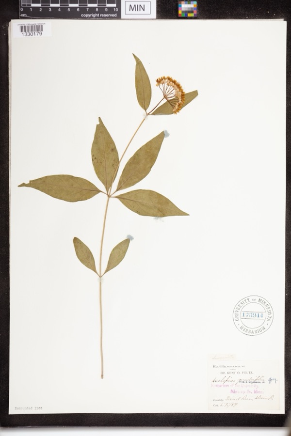 | Asclepias quadrifolia Jacq. | 1889 | Foltz, Kent O. | Sand Run Park; Akron |
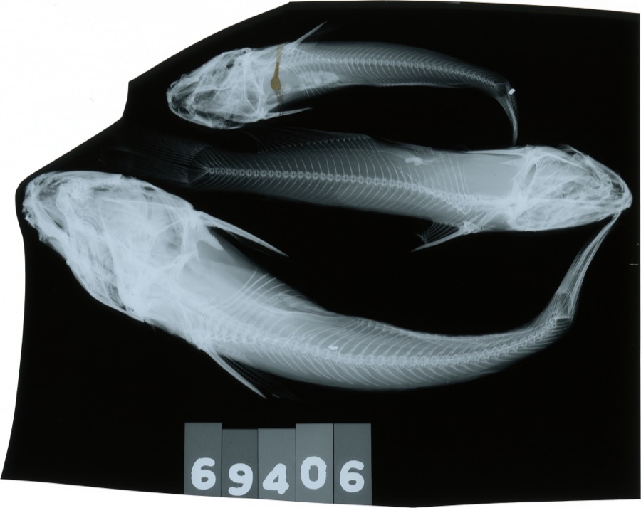 | Ameiurus melas (Rafinesque, 1820) | 1893 | C. Rutter | Cuyahoga River, Penisula, Ohio |
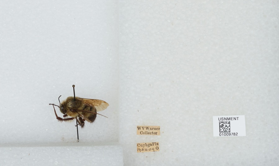 | Bombus griseocollis (De Geer, 1773) | 1904 | W. Warner | Cuyahoga Falls |
 | Empidonax flaviventris (W.M.Baird & S.F.Baird, 1843) | 1877 | A. Hall | Cuyahoga |
 | Bombycilla cedrorum Vieillot, 1808 | 1893 | Hine, J. S. (James Stewart) | Summit, Ohio, USA |
 | Catostomus commersonii (Lacepède, 1803) | 1893 | not recorded | Peninsula, Ohio |
 | Etheostoma nigrum Rafinesque, 1820 | 1893 | Woolman | Cuyahoga River, Peninsula, Ohio |
 | Percina caprodes (Rafinesque, 1818) | 1893 | not recorded | Peninsula |
 | Sialia sialis (Linnaeus, 1758) | 1893 | Hine, J. S. (James Stewart) | Akron, Summit, Ohio, USA |
 | Storeria dekayi (Holbrook, 1839) | 1900 | Hine, J. S. (James Stewart) & Osburn, R. C. (Raymond Carroll) | Kent, Summit Co., Ohio |
 | Ixobrychus exilis exilis (Gmelin, 1789) | 1903 | Cranz, E. F. (Eugene F.) | Akron, Summit, Ohio, USA |
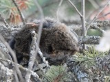 | Microtus pennsylvanicus (Ord, 1815) | 1905 | not recorded | Ira, Summit Co., Ohio, USA |
All 717 specimens within 10 miles, at the Global Biodiversity Information Facility.
Regional context, not property-specific evidence. The National Weather Service names Richfield, the town this property stands in, in 22 storm reports between 1994 and 2023: 16 thunderstorm wind, 6 hail. No death or injury is recorded in these reports. Each account below is quoted exactly as the forecast office filed it, from the NOAA Storm Events Database, and each date opens the federal record of that event.
| When | Event | Place named | Harm | What the report says |
|---|---|---|---|---|
| November 2017 | Thunderstorm Wind | West Richfield | $7,500,000 | Thunderstorm downburst wind gusts estimated to be as much as 100 mph caused extensive damage across northern Summit County. Thousands of trees and dozens of utility poles were reported down in Richfield, Boston, Sagamore Hills and Twinsburg Townships. The damage was most concentrated in the Twinsburg area with hundreds of homes loosing roofing or siding. Many other homes and buildings were damaged by fallen trees. Many vehicles were also damaged by flying debris or downed trees or limbs. There were numerous reports of roads and streets blocked by fallen trees or power lines. A 30,000 volt high power tension line was blown down along Liberty Road near Irena Lane in Twinsburg. The damage in the county extended as far south as Cuyahoga Falls and even Tallmadge. Widespread power outages were reported and school districts in the area had to close on November 6th because of blocked roads and the power outages. Up to 25,000 customers lost power from this storm. It took five days for power to fully restored and weeks for the storm damage to be cleaned up. |
| June 2007 | Thunderstorm Wind | Richfield | $25,000 | Numerous trees were reported down between Richfield and Peninsula. Many of the downed trees were located in the northern portion of the Cuyahoga Valley National Park. |
| August 2007 | Thunderstorm Wind | Richfield | $15,000 | Two large trees and two large limbs were reported down. |
| August 2002 | Thunderstorm Wind | Richfield | $10,000 | Thunderstorm winds downed five or six trees. |
| June 2002 | Thunderstorm Wind | Richfield | $5,000 | Thunderstorm winds downed trees in Richfield and Twinsburg. |
| December 1996 | Thunderstorm Wind | Richfield | $5,000 | no account filed |
| August 1994 | Thunderstorm Wind | Richfield | $5,000 | no account filed |
| June 2006 | Thunderstorm Wind | Richfield | $4,000 | A few trees were reported down. |
| July 2002 | Thunderstorm Wind | Richfield | $2,000 | Thunderstorm winds downed two large tree limbs. |
| July 2017 | Thunderstorm Wind | Richfield | $1,000 | Thunderstorm winds downed a couple of trees near Richfield along Columbia Road. |
| August 2009 | Thunderstorm Wind | Richfield | $1,000 | A few large limbs were reported down. |
| April 2023 | Thunderstorm Wind | West Richfield | - | Tree downed about 2.6-miles northwest of West Richfield. |
| April 2023 | Thunderstorm Wind | West Richfield | - | Three large trees downed at intersection of OH-303 and OH-176 in West Richfield. |
| June 2022 | Thunderstorm Wind | Richfield | - | Tree downed in Richfield and another downed along Riverview Road, just south of Everett. |
| June 2014 | Hail | West Richfield | - | The public estimated nickel size hail. |
| May 2011 | Thunderstorm Wind | Richfield | - | Thunderstorms produced a measured wind gust of 60 mph. |
| May 2011 | Hail | Richfield | - | A line of thunderstorms tracked across the county, producing a swath of nickel to quarter size hail. |
| June 2010 | Hail | Richfield | - | Penny sized hail was observed. |
| June 2007 | Hail | Richfield | - | Penny size hail was reported in Richfield. |
| April 1998 | Hail | Richfield | - | no account filed |
| June 1996 | Thunderstorm Wind | Richfield | - | no account filed |
| June 1995 | Hail | Richfield | - | no account filed |
No historic map-sheet match is published for this property yet. That does not mean no map exists. This record needs a coordinate-quality review before it can be joined to a sheet boundary. Browse the county's mapped places while that work is pending.
Other National Register properties close enough to walk or drive between, ordered by distance from this one. Both positions come from the same geocoding pass that matched these properties to their map sheets.
| Photograph | Property | Distance | Listed |
|---|---|---|---|
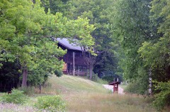 | Kirby, James, Mill | 2.1 miles | 1978 |
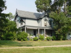 | Tilden, Daniel, House | 2.7 miles | 1985 |
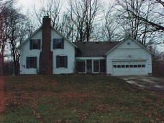 | Welton, Allen, House | 2.9 miles | 1979 |
 | Lambert, Jeremiah, House and Barn | 3.1 miles | 2010 |
| Randall, Dr. Rufus, Residence | 3.4 miles | 1979 | |
 | Voris, Peter Jr., House | 3.4 miles | 2010 |
| National Archives record | The nomination case file for reference 100006141 in Record Group 79. |
| Summit County | All 137 listed properties in this county. |