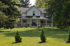
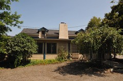
Listed on the National Register of Historic Places in
1978. A historic map-sheet match is not published yet. The record needs a coordinate-quality review before it can be joined to a sheet boundary.
From the record
one of 137 National Register listings in Summit County · listed in 1978 · category: Building · one of 1 National Historic Landmarks in Summit County.
National Register reference number.78002197- the number the National Park Service assigned this property when it was listed, and the key its nomination file is catalogued under at the National Archives.
Fires near this property
1 since 1994
Regional context, not property-specific
evidence. The
federal wildfire occurrence database
lists 1 fire within 5 miles of Kirby, James, Mill between
1994 and 1994, burning about 0 acres in total. None started naturally. None was recorded as arson.
Distance is straight-line from the map coordinates, so a fire counted
here may appear on a neighbouring settlement's page as well.
Reported cause
Fires
Debris and open burning
1
The most recent of
them, most recent first, with the day each was reported and the service
that recorded it.
Regional context, not property-specific
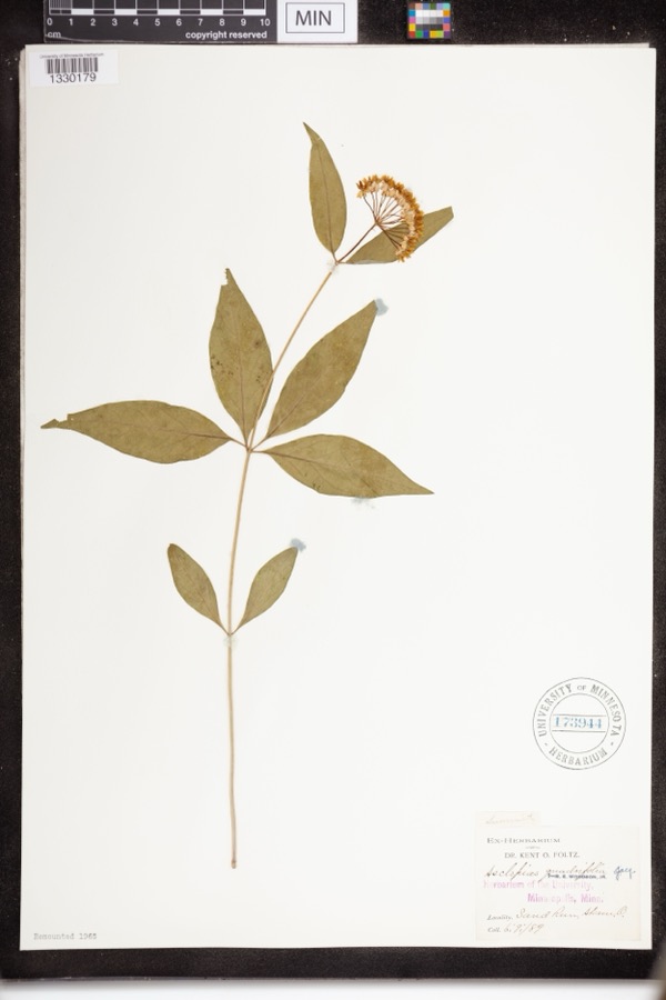
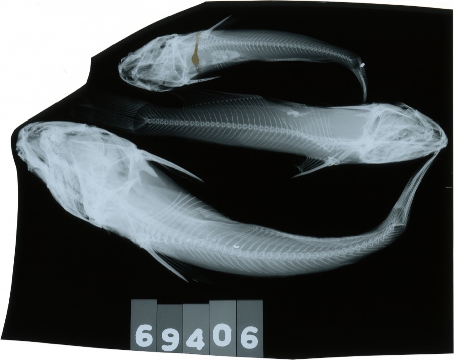
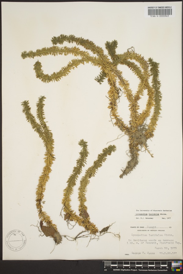
evidence. Museums hold 324 specimens
collected within 10 miles of Kirby, James, Mill between 1877 and
1973: 307 Animalia, 15 Plantae, 2 Fungi. 12 distinct Species records are shown.
Collected by A. Black, A. Hall, Adams J. M. R. and others. Each is a
physical object with a catalogue
number, and each entry opens the museum's record. This is what was
collected and kept, not a survey of what lives here - nothing can be
concluded from a species being absent.
Regional context, not property-specific
evidence. The National Weather Service names
West Richfield, the town this property stands in, in 4 storm reports between 2014 and 2023: 3 thunderstorm wind, 1 hail.
No death or injury is recorded in these reports. Each account below is quoted exactly as the forecast office
filed it, from the NOAA Storm Events Database, and each date
opens the federal record of that event.
Thunderstorm downburst wind gusts estimated to be as much as 100 mph caused extensive damage across northern Summit County. Thousands of trees and dozens of utility poles were reported down in Richfield, Boston, Sagamore Hills and Twinsburg Townships. The damage was most concentrated in the Twinsburg area with hundreds of homes loosing roofing or siding. Many other homes and buildings were damaged by fallen trees. Many vehicles were also damaged by flying debris or downed trees or limbs. There were numerous reports of roads and streets blocked by fallen trees or power lines. A 30,000 volt high power tension line was blown down along Liberty Road near Irena Lane in Twinsburg. The damage in the county extended as far south as Cuyahoga Falls and even Tallmadge. Widespread power outages were reported and school districts in the area had to close on November 6th because of blocked roads and the power outages. Up to 25,000 customers lost power from this storm. It took five days for power to fully restored and weeks for the storm damage to be cleaned up.
No historic map-sheet match is published
for this property yet. That does not mean no map exists. This record needs
a coordinate-quality review before it can be joined to a sheet boundary.
Browse the county's mapped places while that work is
pending.
From the nomination file
1,356 words on record
When this property was proposed for the
National Register, someone wrote the case for it: what the building is,
and why it matters. That document is a federal record in the public domain.
It is quoted below word for word, never summarised. The text was read off the scanned case file by machine, so the
occasional stray character is the recogniser's and the 1970s
typewriter's.
Description of the property
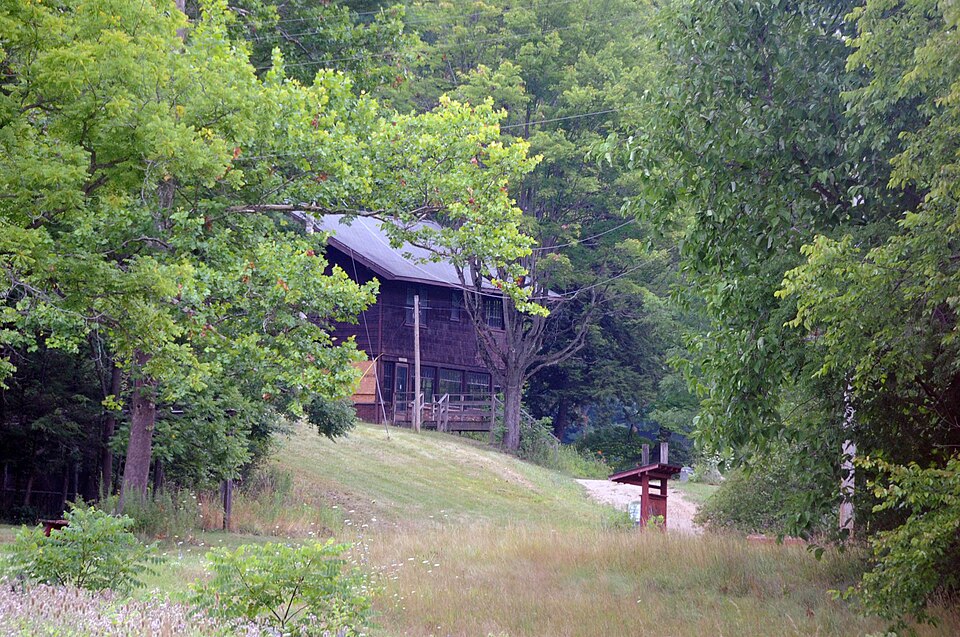
The mill is wood frame, measuring 22 by 24 feet. It has a gable CONDITION UNEXPOSED DESCRIPTION XUNALTERED EXCELLENT XGOOD CHECK ONE end gables.The gables also have board and batten siding, which roof with wide eaves, exposed rafters, and cross-bracing in the The interior of the mill is intact.It has vertical boarded wainscot- shed-roof porch. The random ashlar of the exposed foundation ting and stained wooden trim. and dam is also used in a nearby sundial. -FAIR the slightest pressure. An exterior staircase leads toa lower on ball bearings.This allows the water wheel's operation under with spokes and rims of cypress and water buckets of oak, rests DATE. LRUINS AREAS OF
Statement of significance
1919 ART XENGINEERING ARCHITECTURE THEATER PERIOD AGRICULTURE PREHISTORIC SCIENCE BUILDER/ARCHITECT SCULPTURE RELIGION which he called Kirby "the man who revolutionized the American home." early settler in Richfield Township. From timber cut on the site, Kirby SIGNIFICANCE MILITARY Thomas described the mill as follows: constructed a rustic mill house with a water wheel to generate the juice. shop where many of his inventions were conceived, and the first water today as Kirby's workshop." _COMMUNICATIONS _EXPLORATION/SETTLEMENT built the mill for his workshop and supervised a local millwright, Mr.
Kirby purchased the farm in 1919 from descendants of Heman Oviatt, an The Kirby property was purchased by the Lake Erie Girl Scout Council The James Kirby Mill is the hand-built design of the famous American hundred patents, and many of of his inventions were developed in the Pardee, in the construction of the overshot water wheel for the generation It was the first of its kind. Mounted on ball bearings, it is so sensitive -1800-1899 needed for his house and all the outbuildings. Since the wheel was in- INDUSTRY XINVENTION - CONSERVATION that a mere trickle of water is enough to generate all the current he in l973 and is used for educational and social functions. of electricity for the farm.
conductors, and a dry cleaning Kirby held more than two _PHILOSOPHY _TRANSPORTATION Kirby was best known for his invention of the vacuum cleaner, the -1400-1499 - 1500-1599 wheel mounted on ball bearings. "When the house was first built there was no electric service.Kirby mill.
Quoted from the National Register nomination
for reference 78002197, 10 pages, held by the National Archives in Record
Group 79. See the
catalogue record.
Listed places nearby
6 within 8 miles
Other National Register properties close
enough to walk or drive between, ordered by distance from this one. Both
positions come from the same geocoding pass that matched these properties
to their map sheets.
Listing record. National Park Service National Register of Historic Places, listed-properties dataset, current to 2026-05-22.
Map join. Address geocoded through the United States Census geocoder, then tested against the published boundary of every sheet in the USGS Historical Topographic Map Collection.
How this page is made. Listing fields come from federal records; map-sheet coverage is a labelled coordinate-to-boundary calculation, not a source-field claim.
Wildfire. Short, Karen C. 2022. Spatial wildfire occurrence data for the United States, 1992-2020 [FPA_FOD_20221014]. 6th Edition. Fort Collins, CO: Forest Service Research Data Archive. https://doi.org/10.2737/RDS-2013-0009.6 Collected with United States Government funding and usable without additional permissions or fees.
Specimens. Global Biodiversity Information Facility (GBIF), https://www.gbif.org/. Only records licensed CC0 or CC BY are used. Records licensed CC BY-NC are excluded because this site carries advertising. Images are checked individually and any whose licence is non-commercial, no-derivatives or unreadable is refused.
Storms. NOAA National Centers for Environmental Information, Storm Events Database https://www.ncei.noaa.gov/stormevents/ A work of the United States government, no copyright under 17 U.S.C. 105. Narratives are quoted verbatim from the National Weather Service report and are not edited or summarised.
 Block
Block