BlockBefore
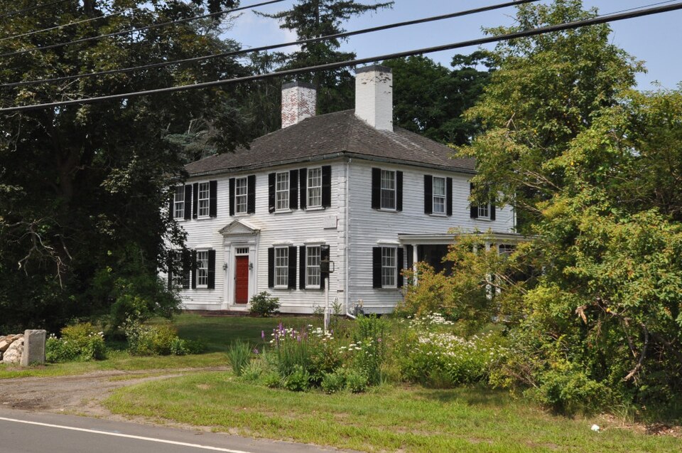
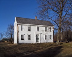
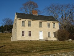
Photograph of Colonel Timothy Jones House
Photograph by Magicpiano, CC BY-SA 4.0. Via Wikimedia Commons.

Colonel Timothy Jones House

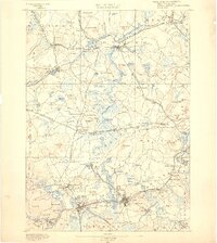
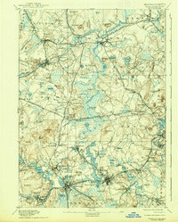
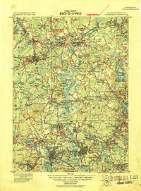
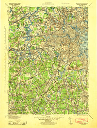
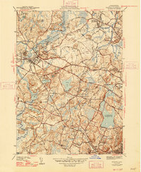
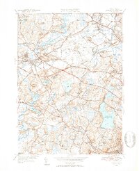
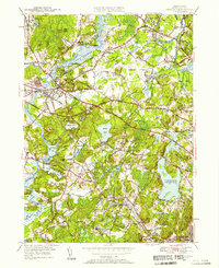
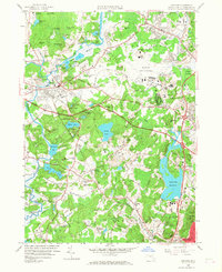
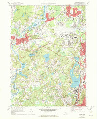
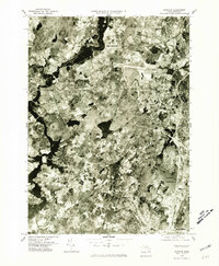
Built in 1775 (Colonial Revival architecture). Listed on the National Register of Historic Places in 2021. 18 historic topographic surveys show this location, the earliest from 1886.

From the record

One of 1,353 National Register listings published here for Middlesex County · listed in 2021 · category: Building · built in 1775, Colonial Revival architecture.

Sources: the National Register database, National Park Service · the Wikipedia article

The listing

  • What is counted as historic. The nomination lists 2 buildingss, 1 structure as contributing to the listing.
  • Listed as. Jones, Colonel Timothy, House - the National Register files a house under its owner's surname.
  • Address. 231 Concord Rd., Bedford, 01730
  • When was it listed? 2021-09-10
  • Category. building
  • Town. Bedford town
  • When was it built? 1775
  • Architectural style. Colonial Revival architecture, Georgian architecture
  • National Register reference number. 100006594 - assigned by the National Park Service when the property was listed.

What happened here

An account from the chapter on Bedford town. The inset identifies its exact source book and publication year.

From History of the Town of Bedford, Middlesex County, Massachusetts, from Its Earliest Settlement to the Year of Our Lord 1891 ... with a Genealogical Register of Old Families, published 1891 - Bedford Town

Biographical

The subject of this sketch was born in Salem, Mass., May 7, 1820, in a house on the opposite corner to the one in which White was murdered by the Kuappa and Crowninshield. In 1821 his parents removed to Moultonborough, N. H., where they lived a few years, and William was sent to the village school for a brief term.

Read the rest of this passage

The ground it stands on

60,719 words

The chapter on Bedford Town in History of the Town of Bedford, Middlesex County, Massachusetts, from Its Earliest Settlement to the Year of Our Lord 1891 ... with a Genealogical Register of Old Families, published 1891 names Bedford. This is what it says, exactly as the scans read.

The Trinitarian Congregational Society immediately erected a house of worship on land given by Mr. Jeremiah Fitch, of Boston, a native of Bedford. The building-lot was directly opposite the Stearns mansion, and was given in consideration of the regard of the donor for his neighbor, teacher, pastor and friend.

Passage source: History of the Town of Bedford, Middlesex County, Massachusetts, from Its Earliest Settlement to the Year of Our Lord 1891 ... with a Genealogical Register of Old Families, published 1891.

Ofthirteen children born toRev.Sarauel Stearns and Abigail French, eleven reached maturity. No other Bedford family has exerted so great an influence in the world of letters. They all received the highest advantages for education that the schools aflbrded. The five sons were all educated at Phillips Academy, Andover, and at Harvard College, and the four who became clergymen attended Andover Theological Seminary. Of thirty one grandchildren twenty-three are living. Almost all have received a liberal education. Of the grandsons, two are professional men and one an artist of rare ability ; five granddaughters became teachers, four married professional men ; a number are authors of books or writers for leading periodicals. The

Passage source: History of the Town of Bedford, Middlesex County, Massachusetts, from Its Earliest Settlement to the Year of Our Lord 1891 ... with a Genealogical Register of Old Families, published 1891.

Machine-read from a century-old scan, so expect the errors a machine makes: misspelled names, dropped words, stray characters.

Read the whole chapter on Bedford Town - 60,719 words on its settlement, mills, schools and churches.

Fires near this property

42 since 1992

Regional context, not property-specific evidence. The federal wildfire occurrence database lists 42 fires within 5 miles of Colonel Timothy Jones House between 1992 and 2020, burning about 33 acres in total. 1 started naturally. None was recorded as arson. Distance is straight-line from the map coordinates, so a fire counted here may appear on a neighbouring settlement's page as well.

Reported cause Fires
Debris and open burning22
Missing data/not specified/undetermined13
Recreation and ceremony3
Equipment and vehicle use1
Other causes1
Natural1
Railroad operations and maintenance1

The most recent of them, most recent first, with the day each was reported and the service that recorded it.

DateCause SizeReported by Name on the report
5 September 2020Debris and open burningunder an acreMassachusetts Bureau of Forest Fire Controlnot named
22 September 2020Recreation and ceremonyunder an acreMassachusetts Bureau of Forest Fire Controlnot named
16 September 2020Debris and open burningunder an acreMassachusetts Bureau of Forest Fire Controlnot named
1 September 2001Naturalunder an acreMinute Man National Historical ParkFISKEHILL
26 August 2020Missing data/not specified/undeterminedunder an acreMassachusetts Bureau of Forest Fire Controlnot named
19 July 2020Railroad operations and maintenanceunder an acreMassachusetts Bureau of Forest Fire Controlnot named
6 June 2020Debris and open burningunder an acreMassachusetts Bureau of Forest Fire Controlnot named
4 June 2020Missing data/not specified/undeterminedunder an acreMassachusetts Bureau of Forest Fire Controlnot named

Every fire recorded in Middlesex County

Specimens collected near this property

12 of 1,077 shown

Regional context, not property-specific evidence. Museums hold 1,077 specimens collected within 10 miles of Colonel Timothy Jones House between 1898 and 1975: 491 Animalia, 332 Plantae, 233 Fungi, 9 Chromista, 6 Unrecorded, 4 Protozoa, 2 Bacteria. 12 distinct Species records are shown. Collected by ?, A. B. Seymour, A. B. Seymour & M. D. Feigley and others. Each is a physical object with a catalogue number, and each entry opens the museum's record. This is what was collected and kept, not a survey of what lives here - nothing can be concluded from a species being absent.

Image SpeciesYear Collected by Where, as recorded
A photograph of the species Corvus brachyrhynchos, not of this specimenCorvus brachyrhynchos brachyrhynchos C.L.Brehm, 18221900not recordedWayland
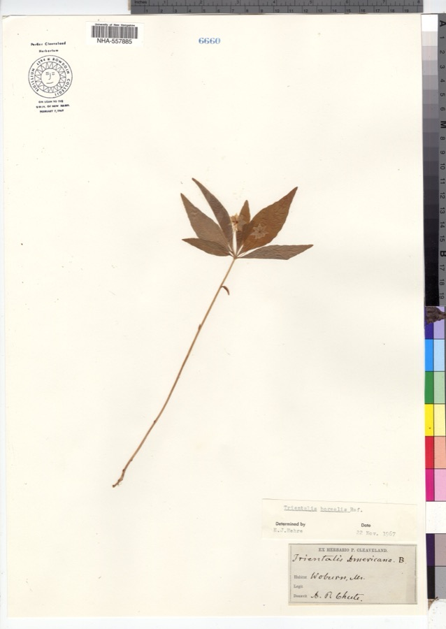
Specimen of Trientalis borealis Raf.Trientalis borealis Raf.1900A. P. Chute
Aglaospora profusa (Fr.) De Not.1898Collector unspecified
A photograph of the species Boletus griseus, not of this specimenBoletus griseus Frost1898H. Webster
A photograph of the species Cladonia rangiferina, not of this specimenCladonia rangiferina (L.) Weber1898Francis P DanielsArlington Heights
A photograph of the species Cordyceps capitata, not of this specimenCordyceps capitata (Holmsk.) Link1898Conant, [?] F.Middlesex Fells
A photograph of the species Cucurbitaria elongata, not of this specimenCucurbitaria elongata (Fr.) Grev.1898J. G. Hall
A photograph of the species Agaricus brunnescens, not of this specimenAgaricus brunnescens Peck1900Morris, G. E.Waltham
Araiospora pulchra Thaxt.1900Thaxter, RolandStony Brook, Mass. [Massachusetts]
A photograph of the species Betula alleghaniensis, not of this specimenBetula alleghaniensis Britton1900E. F. Williams
A photograph of the species Boletus auriporus, not of this specimenBoletus auriporus Peck1900G. E. Morris
A photograph of the species Boletus badius, not of this specimenBoletus badius (Fr.) Fr.1900G. E. Morris

All 1,077 specimens within 10 miles, at the Global Biodiversity Information Facility.

Mines and quarries near this property

9 within 5 miles

Regional context, not property-specific evidence. The federal mineral resources record lists 9 workings within 5 miles of Colonel Timothy Jones House: 6 past producers, 2 producers, 1 occurrence. 2 still produce. What was taken out: Sand and Gravel, Construction, Copper. Distance is straight-line from the map coordinates, so a quarry counted here may appear on a neighbouring settlement's page as well.

Where SiteCommodity StatusRecorded
Carlisle DepositCopperOccurrence
Cu ProspectCopperPast Producer
Burlington S & G Co., Inc. PitSand and Gravel, ConstructionProducer
Burlington Sand and GravelSand and Gravel, ConstructionPast ProducerSedimentary
D R RaymondSand and Gravel, ConstructionPast ProducerSedimentary
Joseph Roberto IncSand and Gravel, ConstructionPast ProducerSedimentary
Joseph Roberto PitSand and Gravel, ConstructionPast Producer
Quinn-Perkins PitSand and Gravel, ConstructionProducer
Thomas Quinn Co IncSand and Gravel, ConstructionPast ProducerSedimentary

Every working recorded in Middlesex County

Storms near this property

5 since 1999

Regional context, not property-specific evidence. The National Weather Service names Bedford, the town this property stands in, in 5 storm reports between 1999 and 2020: 3 thunderstorm wind, 2 lightning. No death or injury is recorded in these reports. Each account below is quoted exactly as the forecast office filed it, from the NOAA Storm Events Database, and each date opens the federal record of that event.

WhenEvent Place namedHarm What the report says
July 2006LightningBedford$215,000no account filed
July 2014Thunderstorm WindBedford$100,000A powerful microburst occurred in Bedford with estimated 90 to 100 mph wind gusts. Approximately 50 to 70 trees were blown down, most of them healthy pine trees 100 feet tall. The trees were blown down, snapped at least halfway up, or uprooted. Eight trees fell onto houses causing significant damage. On Hilltop Drive and Hemlock Lane alone, more than two dozen pine trees were knocked down.
July 2008Thunderstorm WindBedford$5,000Trees on Wiggins Avenue and wires on Alpha Circle were downed by thunderstorm winds.
July 2020Thunderstorm WindBedford$2,000In Bedford, a tree was down on a house on Hartford Street.
July 1999LightningBedford-no account filed

Every storm recorded in Middlesex County

Maps showing this location

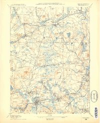
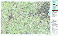
18 surveys

United States Geological Survey topographic sheets whose coverage includes this point. Matched by taking the coordinate the National Park Service records for this property, then testing that coordinate against the published boundary of every sheet.

Listed places nearby

6 within 8 miles

Other National Register properties close enough to walk or drive between, ordered by distance from this one. Both positions come from the same geocoding pass that matched these properties to their map sheets.

Photograph PropertyDistance Listed
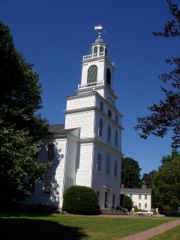
Bedford Center Historic District1.1 miles1977
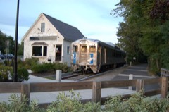
Bedford Depot1.2 miles2003
Wheeler-Minot Farmhouse1.2 miles2004
Wheeler-Merriam House1.2 miles1982
Old Bedford Center Historic District (Boundary Increase and Decrease)1.3 miles2014
David Lane House1.4 miles1980

Sources for this property

National Archives recordThe nomination case file for reference 100006594 in Record Group 79.
Wikipedia articleCommunity-written account of this property, licensed CC BY-SA.
Middlesex CountyAll 1353 listed properties in this county.

Provenance

  • Listing record. National Park Service National Register of Historic Places, listed-properties dataset, current to 2026-05-22.
  • Map join. Address geocoded through the United States Census geocoder, then tested against the published boundary of every sheet in the USGS Historical Topographic Map Collection.
  • How this page is made. Listing fields come from federal records; map-sheet coverage is a labelled coordinate-to-boundary calculation, not a source-field claim.
  • Wildfire. Short, Karen C. 2022. Spatial wildfire occurrence data for the United States, 1992-2020 [FPA_FOD_20221014]. 6th Edition. Fort Collins, CO: Forest Service Research Data Archive. https://doi.org/10.2737/RDS-2013-0009.6 Collected with United States Government funding and usable without additional permissions or fees.
  • Specimens. Global Biodiversity Information Facility (GBIF), https://www.gbif.org/. Only records licensed CC0 or CC BY are used. Records licensed CC BY-NC are excluded because this site carries advertising. Images are checked individually and any whose licence is non-commercial, no-derivatives or unreadable is refused.
  • Mines and quarries. USGS Mineral Resources Data System (MRDS) https://mrdata.usgs.gov/mrds/ A work of the United States government, no copyright under 17 U.S.C. 105.
  • Storms. NOAA National Centers for Environmental Information, Storm Events Database https://www.ncei.noaa.gov/stormevents/ A work of the United States government, no copyright under 17 U.S.C. 105. Narratives are quoted verbatim from the National Weather Service report and are not edited or summarised.