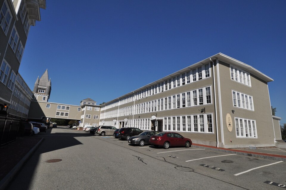
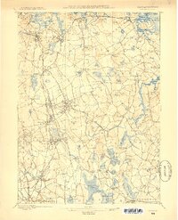
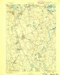
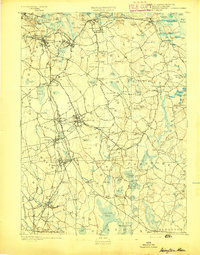
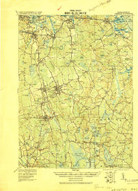
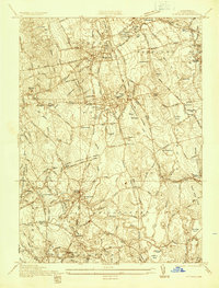
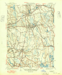
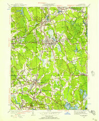
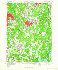
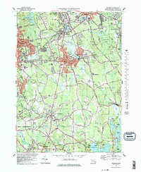
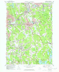
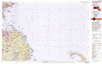
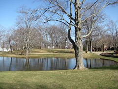
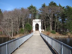
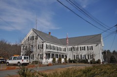
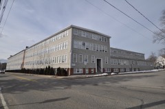
Listed on the National Register of Historic Places in 2014. 15 historic topographic surveys show this location, the earliest from 1885.
From the record
“The Commonwealth Shoe and Leather Company is a historic factory complex at 7 Marble Street in Whitman, Massachusetts. The Commonwealth Shoe Company was formed in 1885 by the merger of Charles H.”
Wikipedia article Commonwealth Shoe and Leather Co., CC BY-SA 4.0.
One of 138 National Register listings published here for Plymouth County · listed in 2014 · category: Building.
Zechariah (s. of Abiah of Weymouth) lived awhile in W. B., with his brotherin-law, William Turner, and while there was warned out of town 1734. - Eleanor Whitman (of the Easton family probably) m. Samuel Pratt of Stoughton 1764. - Abigail m. Nehemiah Cobb of Mid'o. 1773. - Sarah m. Rufus Weston of Mid'o. 1777. Francis and Mary Whitman of Boston had William 1667*, and another William 1668. - Ezra Whitman m. Bathsheba Richards 1693, and Ebenezer m. Deborah Richards 1705. [Wey. Records.] - Samuel m. Anna Rean 1766, and Davis Whitman m. Mary Taverner 1770. [Boston records.]
Hams 1803, died in N. Y. ; Natiian 1806, Emeline Frances 1808, Augustus 181 1, Benjamin 1815. His 2d wife d. 1816, and he m. Freelove, widow of William Fobes (she was a French) 1816. Abigail m. Jacob Hayward 18 16, and Alfred Whitman 1833. - Jonah m. Abigail A. Foster of Kingston 1817, where he lives. - Polly H. m. Leonard Hill 1817. - Lyman lives in Stoughton. - Clement is in Boston. - Benjamin in Boston. - Augustus is with Lyman. - Nathan went to Taunton, is now in S. B.
Regional context, not property-specific
evidence. The
federal wildfire occurrence database
lists 434 fires within 5 miles of Commonwealth Shoe and Leather Co.
between 2005 and 2020, burning about 187 acres in total. 5 started naturally. 7 were recorded as arson.
Distance is straight-line from the map coordinates, so a fire counted
here may appear on a neighbouring settlement's page as well.
Reported cause
Fires
Debris and open burning
210
Missing data/not specified/undetermined
153
Misuse of fire by a minor
34
Smoking
15
Recreation and ceremony
9
Arson/incendiarism
7
Natural
5
Fireworks
1
The most recent of
them, most recent first, with the day each was reported and the service
that recorded it.
Regional context, not property-specific
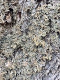
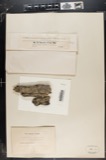
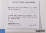
evidence. Museums hold 683 specimens
collected within 10 miles of Commonwealth Shoe and Leather Co. between 1851 and 1975: 275 Plantae, 244 Fungi, 150 Animalia, 12 Protozoa, 2 Unrecorded.
12 distinct Species records are shown.
Collected by A. A. Eaton, A. B. Seymour, A. Clark and others. Each is a
physical object with a catalogue
number, and each entry opens the museum's record. This is what was
collected and kept, not a survey of what lives here - nothing can be
concluded from a species being absent.
Regional context, not property-specific
evidence. The federal mineral resources record lists
5 workings within 5 miles of Commonwealth Shoe and Leather Co.: 5 past producers.
None of them still produces. What was taken out: Sand and Gravel, Construction. Distance is straight-line from the
map coordinates, so a quarry counted here may appear on a neighbouring
settlement's page as well.
Regional context, not property-specific
evidence. The National Weather Service names
Whitman, the town this property stands in, in 15 storm reports between 1996 and 2021: 7 thunderstorm wind, 4 hail, 2 lightning, 2 flood.
No death or injury is recorded in these reports. Each account below is quoted exactly as the forecast office
filed it, from the NOAA Storm Events Database, and each date
opens the federal record of that event.
United States Geological Survey topographic
sheets whose coverage includes this point. Matched by taking the coordinate the National Park Service records for this property, then
testing that coordinate against the published boundary of every sheet.
Other National Register properties close
enough to walk or drive between, ordered by distance from this one. Both
positions come from the same geocoding pass that matched these properties
to their map sheets.
Listing record. National Park Service National Register of Historic Places, listed-properties dataset, current to 2026-05-22.
Map join. Address geocoded through the United States Census geocoder, then tested against the published boundary of every sheet in the USGS Historical Topographic Map Collection.
How this page is made. Listing fields come from federal records; map-sheet coverage is a labelled coordinate-to-boundary calculation, not a source-field claim.
Wildfire. Short, Karen C. 2022. Spatial wildfire occurrence data for the United States, 1992-2020 [FPA_FOD_20221014]. 6th Edition. Fort Collins, CO: Forest Service Research Data Archive. https://doi.org/10.2737/RDS-2013-0009.6 Collected with United States Government funding and usable without additional permissions or fees.
Specimens. Global Biodiversity Information Facility (GBIF), https://www.gbif.org/. Only records licensed CC0 or CC BY are used. Records licensed CC BY-NC are excluded because this site carries advertising. Images are checked individually and any whose licence is non-commercial, no-derivatives or unreadable is refused.
Mines and quarries. USGS Mineral Resources Data System (MRDS) https://mrdata.usgs.gov/mrds/ A work of the United States government, no copyright under 17 U.S.C. 105.
Storms. NOAA National Centers for Environmental Information, Storm Events Database https://www.ncei.noaa.gov/stormevents/ A work of the United States government, no copyright under 17 U.S.C. 105. Narratives are quoted verbatim from the National Weather Service report and are not edited or summarised.
 Block