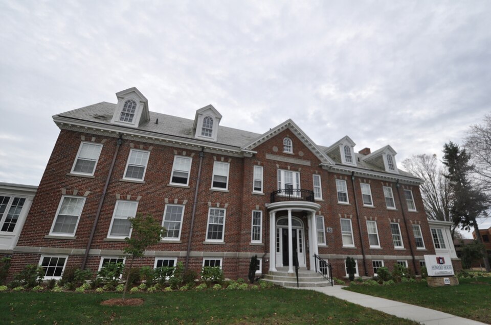
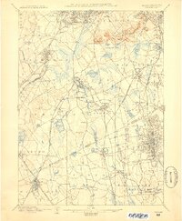
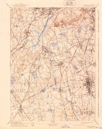
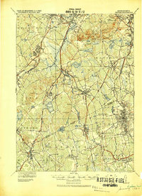
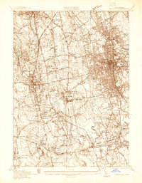
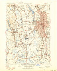
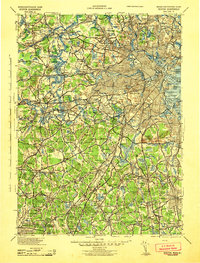
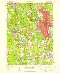
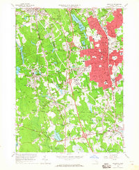
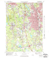
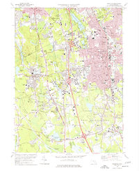
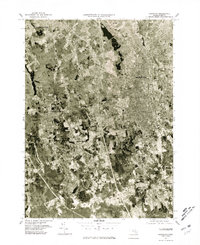
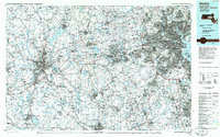
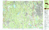
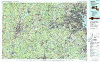
Listed on the National Register of Historic Places in 2016. 18 historic topographic surveys show this location, the earliest from 1886.
From the record
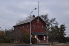
“The Howard Home for Aged Men, more recently Building 60, is a historic residential care building on the campus of the Brockton Veterans Administration facility at 940 Belmont Street in Brockton, Massachusetts. Built in 1924, it was one of two institutions in the city specifically for the care of elderly men.”
Wikipedia article Howard Home for Aged Men, CC BY-SA 4.0.
One of 138 National Register listings published here for Plymouth County · listed in 2016 · category: Building.
TJniversalist Society. - Since the settlement of Rev. Mr. Surt, in 1864, the pulpit of the Universalists of Brockton has had a varied experience, and the supply been somewhat irregular. Rev. Stephen L. Rorapaugh was pastor from May, 1864, to Dec. 16, 1806, when he resigned, though he continued preaching till March 24, 1867. The next pastor was the Rev. Isaac M. Atwood, from May, 1807, to 1872. Rev. S. S. Hcbard, April, 1872.
Several changes took place in the affairs of the society from 1872 to 1877. About that time Rev. Samuel L. Beal removed to Brockton from Provincetown, and gathered a new organization of members of the disbanded society, and preached in the old Universalist Church, which was then unoccupied, where he remained for a few months, and then removed to the Grand Army Hall, East Elm Street, where he remained for two to three years. His first great effort was to organize a Sunday-school, which he did on the 5th day of June, 1877. In 1880 this society removed to Cunningham Hall, formerly the old Universalist Church, where he continued for about three years. On the 9th of November, 1880, a new and legal organization of the society took place, under the name of New Universalist Society. The success uf the society has been largely through the efforts and labors of Rev. Mr. Beal, who had gatliercd au assembly representing nearly one hundred families, and a Sunday-school having a library of about one thousand volumes. Mr. Beal was an active and earnest man in the pulpit. He was also deeply interested in temperance and other reforms in the city, and labored vigorously with tongue and pen to check the tide of intemperance and vice, and often with telling effect. Mr. Beal did faithful service on the school committee in 1882. Rev. Mr. Beal retired from the service of this church in August, 1883.
Regional context, not property-specific
evidence. The
federal wildfire occurrence database
lists 389 fires within 5 miles of Howard Home for Aged Men
between 2002 and 2020, burning about 157 acres in total. 5 started naturally. 7 were recorded as arson.
Distance is straight-line from the map coordinates, so a fire counted
here may appear on a neighbouring settlement's page as well.
Reported cause
Fires
Debris and open burning
185
Missing data/not specified/undetermined
122
Recreation and ceremony
27
Misuse of fire by a minor
26
Smoking
16
Arson/incendiarism
7
Natural
5
Equipment and vehicle use
1
The most recent of
them, most recent first, with the day each was reported and the service
that recorded it.
Regional context, not property-specific
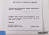
evidence. Museums hold 506 specimens
collected within 10 miles of Howard Home for Aged Men between 1857 and 1975: 198 Fungi, 189 Plantae, 118 Animalia, 1 Protozoa.
12 distinct Species records are shown.
Collected by A. A. Eaton, A. B. Seymour, A. Clark and others. Each is a
physical object with a catalogue
number, and each entry opens the museum's record. This is what was
collected and kept, not a survey of what lives here - nothing can be
concluded from a species being absent.
Regional context, not property-specific
evidence. The federal mineral resources record lists
11 workings within 5 miles of Howard Home for Aged Men: 7 past producers, 3 producers, 1 plant.
4 still produce. What was taken out: Sand and Gravel, Construction, Stone, Crushed/Broken. Distance is straight-line from the
map coordinates, so a quarry counted here may appear on a neighbouring
settlement's page as well.
Regional context, not property-specific
evidence. The National Weather Service names
Brockton, the town this property stands in, in 26 storm reports between 1994 and 2023: 8 thunderstorm wind, 8 hail, 3 heavy rain, 3 lightning.
The reports record 60 injuries. Each account below is quoted exactly as the forecast office
filed it, from the NOAA Storm Events Database, and each date
opens the federal record of that event.
Numerous trees and wires were downed by thunderstorm winds throughout Brockton. This includes trees and wires on Warren Avenue in front of the Boys and Girls Club, near the high school, on Route 14, on French and Perkins Avenues, and on Ash Street. One of these trees fell on a dentists office on South Street in the Campello neighborhood.
A line of thunderstorms moved across parts of central and eastern Massachusetts with wind gusts to 40 to 50 mph. In Lowell, two children received minor injuries when a tree fell on them after it was uprooted by winds gusting to an estimated 50 mph. In Southboro, large tree limbs were downed. In Swampscott, a tree fell on an automobile. In Belmont, Cambridge, and Watertown, tree limbs and a few power lines were reported blown down. In Brockton, two large tree limbs were knocked down. In downtown Boston, a street sign was blown down and hit a man on the head.
United States Geological Survey topographic
sheets whose coverage includes this point. Matched by taking the coordinate the National Park Service records for this property, then
testing that coordinate against the published boundary of every sheet.
Other National Register properties close
enough to walk or drive between, ordered by distance from this one. Both
positions come from the same geocoding pass that matched these properties
to their map sheets.
Listing record. National Park Service National Register of Historic Places, listed-properties dataset, current to 2026-05-22.
Map join. Address geocoded through the United States Census geocoder, then tested against the published boundary of every sheet in the USGS Historical Topographic Map Collection.
How this page is made. Listing fields come from federal records; map-sheet coverage is a labelled coordinate-to-boundary calculation, not a source-field claim.
Wildfire. Short, Karen C. 2022. Spatial wildfire occurrence data for the United States, 1992-2020 [FPA_FOD_20221014]. 6th Edition. Fort Collins, CO: Forest Service Research Data Archive. https://doi.org/10.2737/RDS-2013-0009.6 Collected with United States Government funding and usable without additional permissions or fees.
Specimens. Global Biodiversity Information Facility (GBIF), https://www.gbif.org/. Only records licensed CC0 or CC BY are used. Records licensed CC BY-NC are excluded because this site carries advertising. Images are checked individually and any whose licence is non-commercial, no-derivatives or unreadable is refused.
Mines and quarries. USGS Mineral Resources Data System (MRDS) https://mrdata.usgs.gov/mrds/ A work of the United States government, no copyright under 17 U.S.C. 105.
Storms. NOAA National Centers for Environmental Information, Storm Events Database https://www.ncei.noaa.gov/stormevents/ A work of the United States government, no copyright under 17 U.S.C. 105. Narratives are quoted verbatim from the National Weather Service report and are not edited or summarised.
 Block