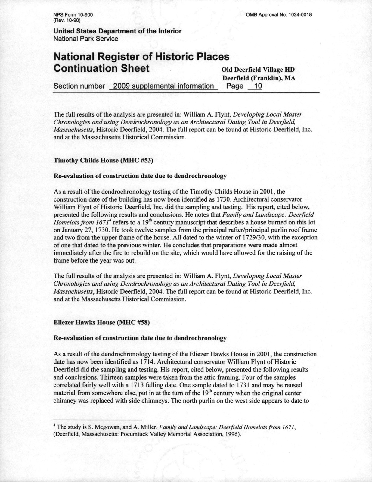
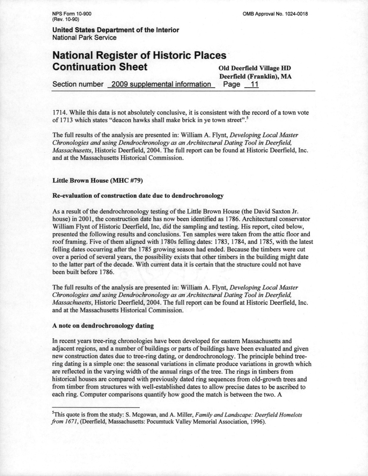
Photographs from the nomination case file, National Park Service records.
Ashley House
A National Historic Landmark. Listed on the National Register of Historic Places in
1966. A historic map-sheet match is not published yet. The record needs a coordinate-quality review before it can be joined to a sheet boundary.
From the record
“*' For the distance of about three miles, after leaving Deerfield meadow, Lathrop' s march lay through a very level country, closely wooded, where he was every moment exposed to an attack on either flank ; at the termination of this distance, near the south point of Hwjar -loaf Rill, the road approximated Connecticut river, and the left was in some measure protected. At the village now called Muddy Brook, in the southerly part of Deerfield, the road crossed a small stream, bordered by a narrow morass, from which the village has its name ; though more appropriately it should be denominated Bloody Brook, by which it was sometimes known.”
Inscriptions on the Grave Stones in the Grave Yards of Northampton, and of Other Towns in the Valley of the Connecticut, As Springfield, Amherst, Hadley, Hatfield, Deerfield, &c. (1850). Machine-read text.
one of 28 National Register listings in Franklin County · listed in 1966 · category: Building · one of 1 National Historic Landmarks in Franklin County.
National Register reference number.66000774- the number the National Park Service assigned this property when it was listed, and the key its nomination file is catalogued under at the National Archives.
Erected August, 183L On this ground Captain Thomas Lathrop, and Eighty- Four Men under his command, including Eighteen teamsters from Deerfield, Conveying Stores from that town to HadJey, were ambuscaded by about 700 Indians, and the Captain and Seventy-six Men Slain, September 18th 1765, (old Style). The Soldiers who fell, were described by a Cotemporary Historian as a Choice Company of Young Men, the very flower of the County of Essex. None of wliom were ashamed to Speak with the enemy in the gate. - "And SANGUINETTO teUs you" where the dead "Made the earth wet and turned" the unwilling Waters Ked. - The grave of the Slain is Marked by a Stone Slab 21 Rods Southerly of this Monument.
This monument stands 30 or 40 rods southerly from the Congretional church. South-easterly from the moniiment is seen Sugarloaf Mountain, a conical peak of red sand stone, about 650 feet in height. In 1835, the 160th anniversary of the destruction of Capt. Lathrop and his men was commemorated in this place. The Hon. Edward Everett, governor of Massachvtsetts, was appointed orator for the occasion, and General Epaphras Hoyt, of Deerfield, was appointed to make the address at the laying of the corner stone for the monument. About six thousand persons were present on this occasion. Governor Everett delivered his address under a walnut tree. About forty years after Capt. Lathrop and his men were killed, a rude monument was erected to their memory, but the different occupants of the soil removed it so many times, that it was a matter of uncertainty where he or his men were buried. In 1835, the committee of investigation, guided by the tradition of some aged people, found the spot where he and about thirty of his men w^ ere interred ; the grave was just in front of the dooryard of Stephen Whitney, Esq., and about twenty feet northwest of his front door. Their bones were in a state of tolerable preservation, but fell to pieces on exposure to the air. " A grave probably containing the bones of the ninety-six Indians who were slain on that day, was likewise found by accident about the same time, nearly one hundred rods west of the road leading from Bloody Brook to Conway , by Mr. Artemas Williams, and a little more than half a mile south-west of the grave of Lathrop."
Regional context, not property-specific
evidence. The
federal wildfire occurrence database
lists 38 fires within 5 miles of Ashley House between
2003 and 2020, burning about 37 acres in total. None started naturally. None was recorded as arson.
Distance is straight-line from the map coordinates, so a fire counted
here may appear on a neighbouring settlement's page as well.
Reported cause
Fires
Debris and open burning
21
Railroad operations and maintenance
6
Recreation and ceremony
4
Smoking
4
Power generation/transmission/distribution
1
Missing data/not specified/undetermined
1
Equipment and vehicle use
1
The most recent of
them, most recent first, with the day each was reported and the service
that recorded it.
Regional context, not property-specific
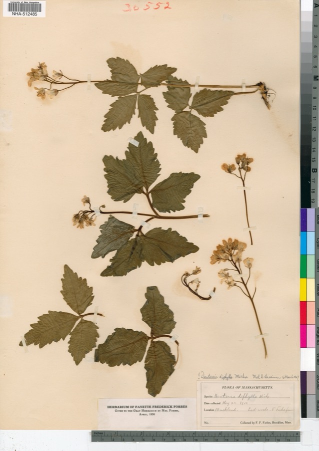
evidence. Museums hold 5,861 specimens
collected within 10 miles of Ashley House between 1822 and
1975: 3,269 Animalia, 1,373 Plantae, 1,066 Fungi, 115 Unrecorded, 33 Protozoa, 5 Chromista. 12 distinct Species records are shown.
Collected by A S Pease, A V Osmun, A. C. Smith and others. Each is a
physical object with a catalogue
number, and each entry opens the museum's record. This is what was
collected and kept, not a survey of what lives here - nothing can be
concluded from a species being absent.
black sh, [property of T.M. Stoughton, 1871 Beers County map, previously owned by Dr. Roswell Field], S side of Connecticut River, Horse Race, Montague
Regional context, not property-specific
evidence. The federal mineral resources record lists
8 workings within 5 miles of Ashley House: 4 past producers, 2 occurrences, 1 producer, 1 prospect.
1 still produces. What was taken out: Stone, Crushed/Broken, Sand and Gravel, Construction, Barium-Barite, Copper, Iron, Copper, Barium-Barite. Distance is straight-line from the
map coordinates, so a quarry counted here may appear on a neighbouring
settlement's page as well.
Regional context, not property-specific
evidence. The National Weather Service names
Deerfield, the town this property stands in, in 36 storm reports between 1996 and 2026: 25 thunderstorm wind, 5 flash flood, 3 flood, 2 hail.
No death or injury is recorded in these reports. Each account below is quoted exactly as the forecast office
filed it, from the NOAA Storm Events Database, and each date
opens the federal record of that event.
In Deerfield, a tree fell into a house, causing extensive damage, per an amateur radio report. Another tree caused house damage on Beaver Road, according to the Greenfield Recorder newspaper. A tree was down on wires on Mountain Road. A tree was down on Greenfield Road and a tree was down on Hillside Road. Wires were reported down on Oak Knoll Drive.
In Deerfield, there were numerous trees reported down with some significant damage. Multiple trees and power lines were down on Upper Road and Lower Road. A section of a roof was blown off a building on Lower Road. Trees and power lines were down, trapping a car, on Hawks Road. A tree was down on I-91 southbound between mile markers 40 and 41. Multiple trees were down on Mill Village Road.
Tree damage was observed on Hillside Road near the intersection of River Road and north of the Mount Sugarloaf State Reservation. Several tall pine trees were snapped off at the top and other large trees fell, taking down power lines. A gazebo was blown off its foundation in the backyard of a house.
No historic map-sheet match is published
for this property yet. That does not mean no map exists. This record needs
a coordinate-quality review before it can be joined to a sheet boundary.
Browse the county's mapped places while that work is
pending.
From the nomination file
5,643 words on record
When this property was proposed for the
National Register, someone wrote the case for it: what the building is,
and why it matters. That document is a federal record in the public domain.
It is reproduced in full on its own page, word for word and never summarised. The text was read off the scanned case file by machine, so the
occasional stray character is the recogniser's and the 1970s
typewriter's.
Quoted from the National Register nomination
for reference 66000774, 17 pages, held by the National Archives in Record
Group 79. See the
catalogue record.
Listed places nearby
6 within 8 miles
Other National Register properties close
enough to walk or drive between, ordered by distance from this one. Both
positions come from the same geocoding pass that matched these properties
to their map sheets.
Listing record. National Park Service National Register of Historic Places, listed-properties dataset, current to 2026-05-22.
Map join. Address geocoded through the United States Census geocoder, then tested against the published boundary of every sheet in the USGS Historical Topographic Map Collection.
How this page is made. Listing fields come from federal records; map-sheet coverage is a labelled coordinate-to-boundary calculation, not a source-field claim.
Wildfire. Short, Karen C. 2022. Spatial wildfire occurrence data for the United States, 1992-2020 [FPA_FOD_20221014]. 6th Edition. Fort Collins, CO: Forest Service Research Data Archive. https://doi.org/10.2737/RDS-2013-0009.6 Collected with United States Government funding and usable without additional permissions or fees.
Specimens. Global Biodiversity Information Facility (GBIF), https://www.gbif.org/. Only records licensed CC0 or CC BY are used. Records licensed CC BY-NC are excluded because this site carries advertising. Images are checked individually and any whose licence is non-commercial, no-derivatives or unreadable is refused.
Mines and quarries. USGS Mineral Resources Data System (MRDS) https://mrdata.usgs.gov/mrds/ A work of the United States government, no copyright under 17 U.S.C. 105.
Storms. NOAA National Centers for Environmental Information, Storm Events Database https://www.ncei.noaa.gov/stormevents/ A work of the United States government, no copyright under 17 U.S.C. 105. Narratives are quoted verbatim from the National Weather Service report and are not edited or summarised.
 Block
Block