Listed on the National Register of Historic Places in
1970. A historic map-sheet match is not published yet. The record needs a coordinate-quality review before it can be joined to a sheet boundary.
From the record
one of 8 National Register listings in Meigs County · listed in 1970 · category: Site.
National Register reference number.70000508- the number the National Park Service assigned this property when it was listed, and the key its nomination file is catalogued under at the National Archives.
Fires near this property
28 since 1996
Regional context, not property-specific
evidence. The
federal wildfire occurrence database
lists 28 fires within 5 miles of Buffington Island between
1996 and 2020, burning about 99 acres in total. None started naturally. 4 were recorded as arson.
Distance is straight-line from the map coordinates, so a fire counted
here may appear on a neighbouring settlement's page as well.
Reported cause
Fires
Debris and open burning
17
Power generation/transmission/distribution
5
Arson/incendiarism
4
Equipment and vehicle use
2
The most recent of
them, most recent first, with the day each was reported and the service
that recorded it.
Regional context, not property-specific
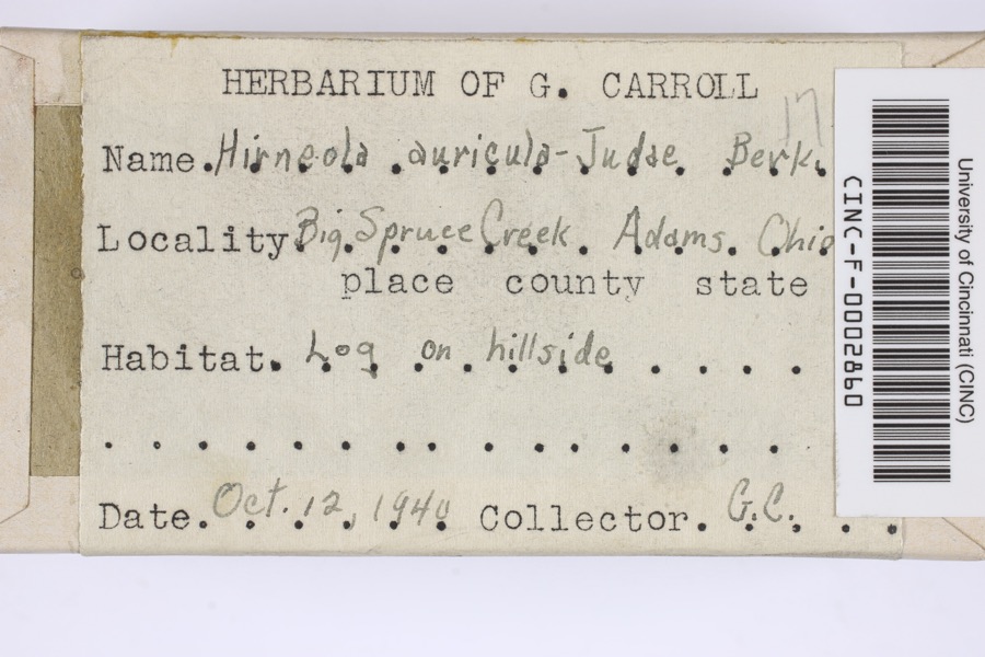
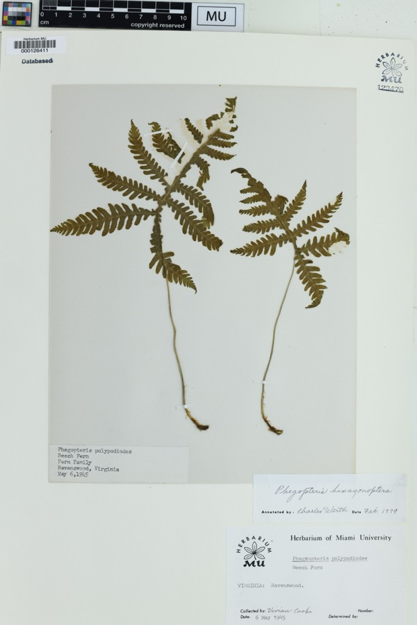
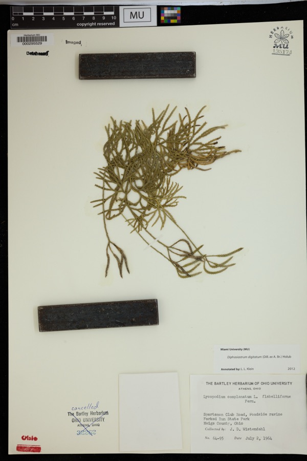
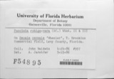
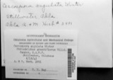
evidence. Museums hold 299 specimens
collected within 10 miles of Buffington Island between 1885 and
1973: 239 Animalia, 35 Fungi, 22 Plantae, 3 Chromista. 12 distinct Species records are shown.
Collected by Balser, G., Blankenbaker, et al., C. H. Jones and others. Each is a
physical object with a catalogue
number, and each entry opens the museum's record. This is what was
collected and kept, not a survey of what lives here - nothing can be
concluded from a species being absent.
Regional context, not property-specific
evidence. The federal mineral resources record lists
1 working within 5 miles of Buffington Island: 1 producer.
All of them still produce. What was taken out: Sand and Gravel, Construction. Distance is straight-line from the
map coordinates, so a quarry counted here may appear on a neighbouring
settlement's page as well.
Regional context, not property-specific
evidence. The National Weather Service names
Pomeroy, the town this property stands in, in 32 storm reports between 1995 and 2024: 13 thunderstorm wind, 11 flood, 8 hail.
No death or injury is recorded in these reports. Each account below is quoted exactly as the forecast office
filed it, from the NOAA Storm Events Database, and each date
opens the federal record of that event.
The gage at Belleville Lock on the Ohio River entered moderate flooding, cresting at almost 43.5 feet on the evening of the 18th. At Belleville, moderate flood stage is 38 feet. Flooding began at Belleville just after midnight on the 17th, and the river dropped back below flood in the pre-dawn hours of the 20th. This high water closed several sections of Route 124, as well as a portion of Route 248 near Sand Hill.||The Ohio River gage at Racine Lock rose above its flood stage of 41 feet early on the 17th. The river surpassed moderate flooding, and almost reached its major flood stage of 48 feet, during its crest of 47.7 feet just after midnight on the 19th. The river dropped back below flood stage around noon on the 20th. This cause flooding along Route 124 near Antiquity and Minersville.||At the Pomeroy staff gage, the Ohio River rose above its flood stage of 46 feet late around noon on the 17th. Major flooding occurred along this stretch of the river, where the staff gage read almost 50.5 feet during crest late on the 18th, topping major flood stage by half a foot. Water levels dropped back below flood stage around sunrise on the 20th. Water inundated much of Main Street in Pomeroy, including flooding businesses, side roads and parking lots and the amphitheater. A culvert under Main Street also collapsed.
Small streams and the Shade River caused minor flooding. A few roads were closed. The Shade River crested at 17.28 feet on the gauge near Chester during the morning of the 23rd. Bankfull is 17 feet. The saturated ground caused a hill to slip on Butternut Drive in Pomeroy. This damaged a house.
The Ohio River at Pomeroy rose out of its 46 foot bankfull level on the evening of March 2nd. The river at this location crested at 46.70 feet on the 3rd and returned to its banks that evening. Pomeroy parking lots and the river amphitheater were flooded along the river. Main street in the town and some secondary roads became flooded due to backwater.
Many small streams overflowed and closed sections of roads. One example, was near where Malloons Creek flows into Leading Creek, south of Dexter. Portions of Route 124 were flooded there. No structures were flooded.
Flooding closed a number of roads across the county, including State Routes 124, 143, 248, and 681.||The Shade River near Chester also flooded. The river rose above its bankfull level of 17 feet just before noon on the 16th, crested at about 19.4 feet around sunrise on the 17th, and returned to its banks late that afternoon.
The gauge along the Ohio River at Pomeroy indicated a rise above flood stage on the night of April 13th. The river crested around 47 feet the next afternoon and then fell back below flood stage late in the morning on the 15th. While above flood stage, parking lots in Pomeroy and the river amphitheater flooded, as well as secondary roads due to backwater.
The Ohio River at Pomeroy rose above its flood stage on the afternoon of April 4th, then continued to rise to a crest of around 48 feet on the afternoon of the 5th. The river then fell back below flood stage the night of April 6th. Businesses that reside along the river flooded during this time, as did several parking lots and the river amphitheater.
5 papers published in this town,
digitised by the Library of Congress and free to read: 0 issues,
0 pages. Every page is searchable, so a name or a street can be
looked for directly in what the town printed about itself at the time.
No historic map-sheet match is published
for this property yet. That does not mean no map exists. This record needs
a coordinate-quality review before it can be joined to a sheet boundary.
Browse the county's mapped places while that work is
pending.
From the nomination file
1,575 words on record
When this property was proposed for the
National Register, someone wrote the case for it: what the building is,
and why it matters. That document is a federal record in the public domain.
It is quoted below word for word, never summarised. The text was read off the scanned case file by machine, so the
occasional stray character is the recogniser's and the 1970s
typewriter's.
Statement of significance
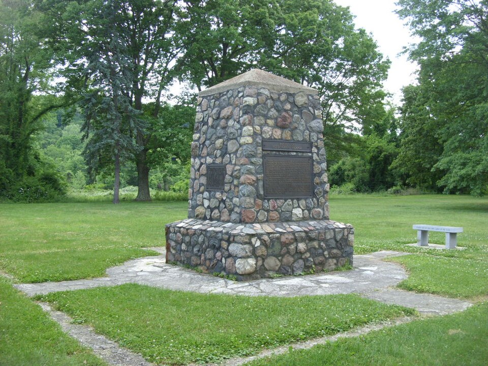
In July, 1863, while the country still echoed to the guns of Gettys- John Hunt Morgan, Confederate cavalry leader, carried the Civil War and his command. On the afternoon of Monday, July 13, 1863, Morgan and his men, about County, a river bank village opposite Buffington Island, chosen weeks previously for escape into West Virginia, where sympathizers awaited Morgan escaped with only 1200 of his men to the eastern part on July 26 Morgan and his men surrendered in a field near West Point placed in the Ohio Penitentiary in Columbus, but he escaped 4 months later to return South.
He was killed late in 1864 at Greeneville, Tennessee - The Buffington Island site, scene of the only significant Civil War battle fought in Ohio and the beginning of the defeat of Morgan's Raiders, was presented as a gift to The Ohio Historical Society in 1863 Architecture Commerce 1929.
Quoted from the National Register nomination
for reference 70000508, 12 pages, held by the National Archives in Record
Group 79. See the
catalogue record.
Listing record. National Park Service National Register of Historic Places, listed-properties dataset, current to 2026-05-22.
Map join. Address geocoded through the United States Census geocoder, then tested against the published boundary of every sheet in the USGS Historical Topographic Map Collection.
How this page is made. Listing fields come from federal records; map-sheet coverage is a labelled coordinate-to-boundary calculation, not a source-field claim.
Wildfire. Short, Karen C. 2022. Spatial wildfire occurrence data for the United States, 1992-2020 [FPA_FOD_20221014]. 6th Edition. Fort Collins, CO: Forest Service Research Data Archive. https://doi.org/10.2737/RDS-2013-0009.6 Collected with United States Government funding and usable without additional permissions or fees.
Specimens. Global Biodiversity Information Facility (GBIF), https://www.gbif.org/. Only records licensed CC0 or CC BY are used. Records licensed CC BY-NC are excluded because this site carries advertising. Images are checked individually and any whose licence is non-commercial, no-derivatives or unreadable is refused.
Mines and quarries. USGS Mineral Resources Data System (MRDS) https://mrdata.usgs.gov/mrds/ A work of the United States government, no copyright under 17 U.S.C. 105.
Storms. NOAA National Centers for Environmental Information, Storm Events Database https://www.ncei.noaa.gov/stormevents/ A work of the United States government, no copyright under 17 U.S.C. 105. Narratives are quoted verbatim from the National Weather Service report and are not edited or summarised.
 Block
Block