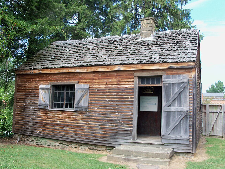
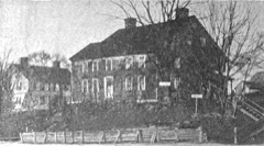
Photograph by Roseohioresident, Public domain. Via
Wikimedia Commons.
Ohio Company Land Office
Listed on the National Register of Historic Places in
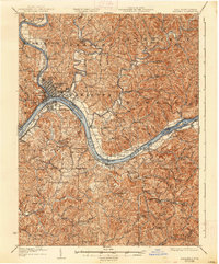
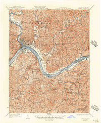
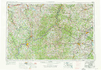
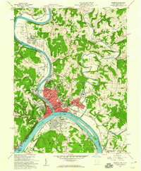
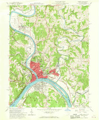
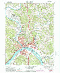
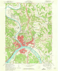
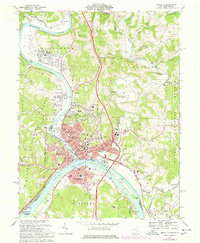
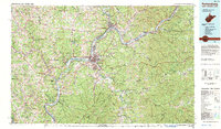
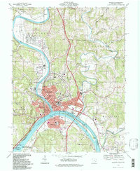
1970. 17 historic map sheets show this location, the earliest from 1904.
Research this district
This curated hub for Washington County, Ohio brings together the page's documented record links, visible map or image evidence where published, and routes to related local records.
Use the page's provenance and linked records to distinguish the source material from the site's navigation and summaries.
How should I cite it?
Open the original record, preserve its repository and identifier, then use the citation tool for this page as a path back to the source.
Where should I go next?
Follow the county or state hub for related places and records, then use the guide for a source-aware research sequence.
From the record
“The Ohio Company Land Office is one of the original buildings of the city of Marietta, Ohio, United States. The Office is listed individually in the National Register of Historic Places and as a contributing property to the Marietta Historic District.”
Wikipedia article Ohio Company Land Office, CC BY-SA 4.0.
one of 39 National Register listings in Washington County · listed in 1970 · category: BUILDING · significant for POLITICS/GOVERNMENT · one of 1 National Historic Landmarks in Washington County.
Also known as. Campus Martius Museum State Memorial; See Also:Marietta Histo
Township. Marietta city
National Register reference number.70000523- the number the National Park Service assigned this property when it was listed, and the key its nomination file is catalogued under at the National Archives.
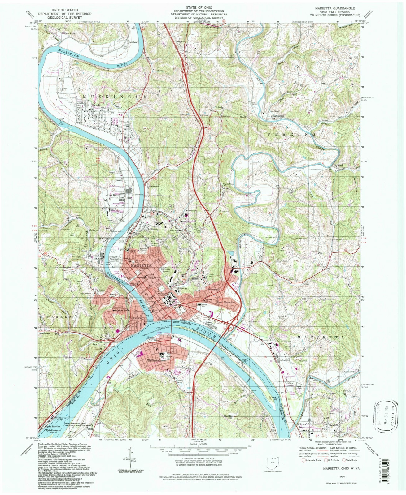
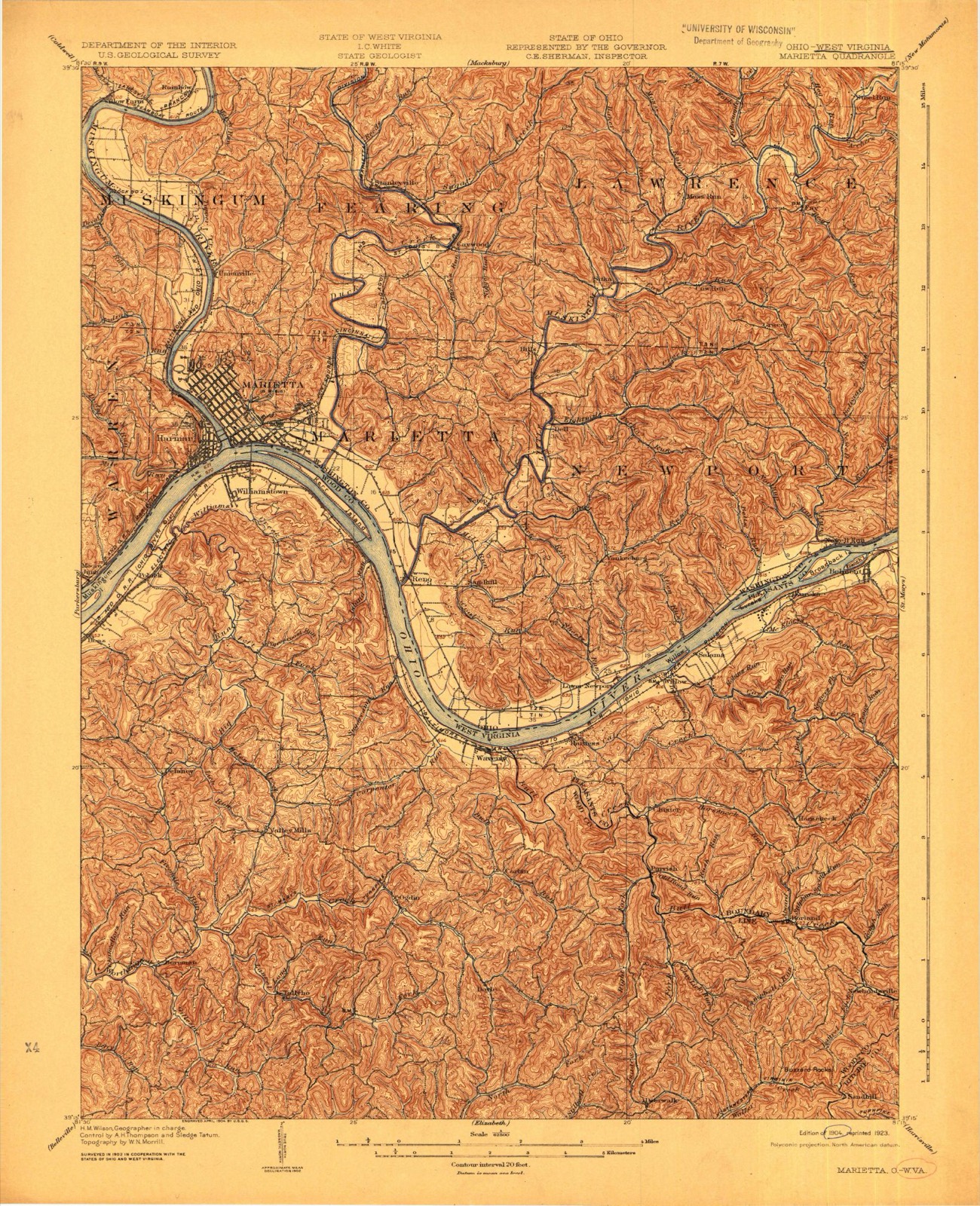
Then and now
1904 to 1994
The ground this property stands on, surveyed
90 years apart. Drag the handle to wipe between them. Both sheets are
United States Geological Survey originals; neither has been altered.
Tenney, George Champion, age 20, volunteer. May. 1862, three months. Eighty-seventh regiment, company A, private, served four months, mustered out Septem- Ijer, 1862 ; re-enlistment, volunteer. May, 1864, one hundred days. One Hundred and Forty-eighth regiment, company A. corporal, served four months, mustered out 1864, also member of the independent company in Marietta,
Darrow, Allen R., age 38, volunteer. May, 1864, one hundred days. One Hundred and Forty-eighth regiment, first lieutenant and regimental quartermaster, served four months, mustered out in September, 1864, one of the original members of the National guards, organized in Marietta in 1863.
Regional context, not property-specific
evidence. The
federal wildfire occurrence database
lists 12 fires within 5 miles of Ohio Company Land Office between
1999 and 2019, burning about 6 acres in total. 1 started naturally. None was recorded as arson.
Distance is straight-line from the map coordinates, so a fire counted
here may appear on a neighbouring settlement's page as well.
Reported cause
Fires
Debris and open burning
8
Equipment and vehicle use
2
Natural
1
Missing data/not specified/undetermined
1
The most recent of
them, most recent first, with the day each was reported and the service
that recorded it.
Regional context, not property-specific
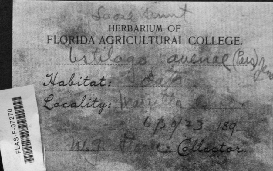
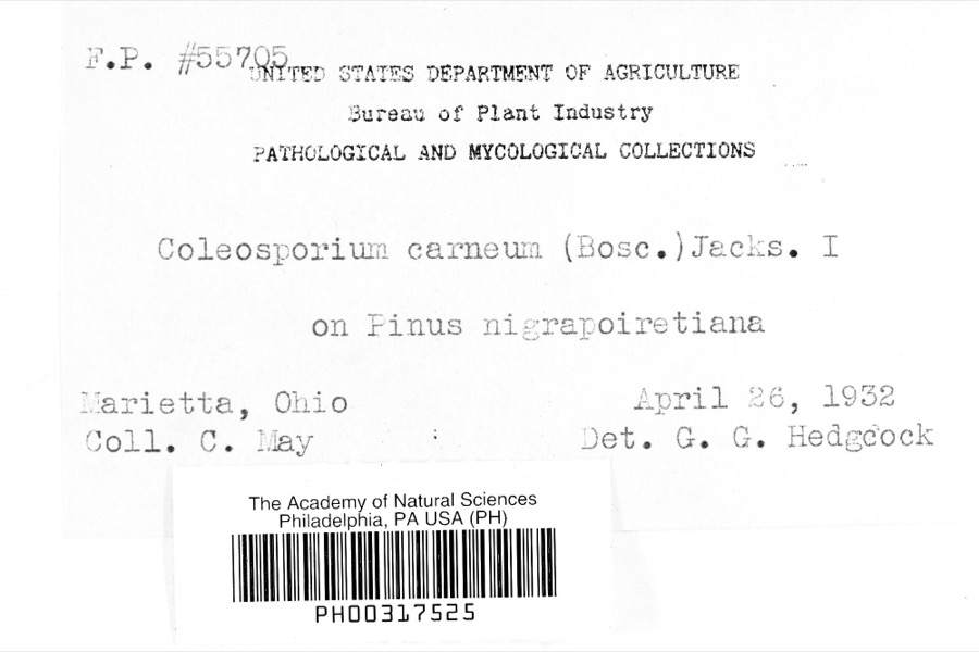
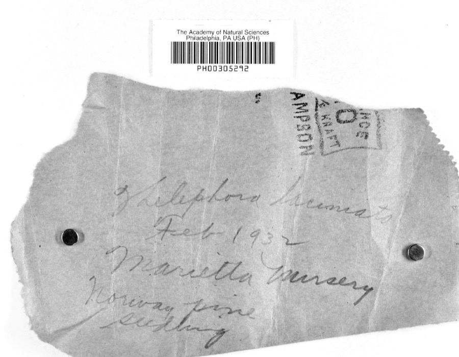
evidence. Museums hold 1,271 specimens
collected within 10 miles of Ohio Company Land Office between 1853 and
1975: 1,184 Animalia, 54 Fungi, 31 Plantae, 1 Unrecorded, 1 Chromista. 12 distinct Species records are shown.
Collected by A. D. Selby, A. Drew, A. L. McElhose and others. Each is a
physical object with a catalogue
number, and each entry opens the museum's record. This is what was
collected and kept, not a survey of what lives here - nothing can be
concluded from a species being absent.
Regional context, not property-specific
evidence. The federal mineral resources record lists
7 workings within 5 miles of Ohio Company Land Office: 4 producers, 2 past producers, 1 plant.
5 still produce. What was taken out: Sand and Gravel, Construction, Stone, Crushed/Broken, Manganese, Chromium, Iron. Distance is straight-line from the
map coordinates, so a quarry counted here may appear on a neighbouring
settlement's page as well.
Regional context, not property-specific
evidence. The National Weather Service names
Marietta, the town this property stands in, in 68 storm reports between 1993 and 2026: 31 thunderstorm wind, 25 hail, 5 flood, 3 lightning.
The reports record 3 injuries. Each account below is quoted exactly as the forecast office
filed it, from the NOAA Storm Events Database, and each date
opens the federal record of that event.
A double wide mobile home was destroyed after its roof was blown off. The home was located on Warren Township Road 277. Seven people were in the home at the time, 3 were taken to the hospital with minor injuries and later released. The National Weather Service survey estimated winds of 60 to 70 mph from the microburst.
Numerous large trees were blown down by strong wind gusts. The wind was associated with a bow echo configuration to the thunderstorms. Wind gusts of around 70 mph likely occurred. Several homes and businesses were hit by fallen trees. Residents described the aftermath in the hardest hit portions of downtown Marietta as looking like a war zone.
Rains of 2.5 to 4.5 inches fell in less than 3 hours. The 24 hour rain amount from the cooperative observer at Newport was 4.7 inches. The Marietta cooperative observer had 2.94 inches. Streams such as Long Run and Newell Run flooded and forced a few evacuations. Many residents were stuck in their homes. The Newport fire chief said, We couldn't get to them because they couldn't see the bridges. Basically every direction we went there was rushing water, it looked like a whitewater river.||More urban streams such as Goose Run flooded basements around Marietta.
Thunderstorms moved from east to west crossing the Ohio River from West Virginia. The city of Marietta hauled 130 loads of fallen limbs away over a eight day cleanup period. At least two homes were damaged. A dairy barn was heavily damaged in Warren Township. A tree fell onto a car in Belpre.
Downpours associated with severe thunderstorms overwhelmed the city drainage system, causing brief street flooding. Water got into a few basements. The cooperative observer measured 2.6 inches for its 24 hour rain amount, most of which fell within about 2 hours.
Thunderstorms moved from east to west crossing the Ohio River from West Virginia. The city of Marietta hauled 130 loads of fallen limbs away over a eight day cleanup period. At least two homes were damaged. A dairy barn was heavily damaged in Warren Township. A tree fell onto a car in Belpre.
Thunderstorm winds blew a large section of roofing material off a rehabilitation center. Power lines were also blown down in town, causing power outages.
Thunderstorms moved from east to west crossing the Ohio River from West Virginia. The city of Marietta hauled 130 loads of fallen limbs away over a eight day cleanup period. At least two homes were damaged. A dairy barn was heavily damaged in Warren Township. A tree fell onto a car in Belpre.
A strong rise on the Little Muskingum River occurred. The crest was over 19 feet at the gauge near Bloomfield. Minor overflow along the usual low spots of Route 26 was the result. A few sections of the road were closed.
Trees fell in scattered locations about the town. Two large umbrellas, used to shelter kids from the sun, were ripped from their tables and blew away at the YMCA.
The stream gage on Duck Creek near Whipple showed the creek rose above its 12 foot flood stage late on the 25th. The creek crested at 12.4 feet just before sunrise on the 26th and had returned to its banks by mid morning. This flooded sections of State Routes 26, 145 and 821.
The stream gauge on Duck Creek at Whipple crested just over 12 feet late afternoon on the 18th. Bankfull is 11 feet. Minor flooding occurred along sections of State Routes 26, 146 and 821 in central Washington County.
1 paper published in this town,
digitised by the Library of Congress and free to read: 1,733 issues,
8,183 pages. Every page is searchable, so a name or a street can be
looked for directly in what the town printed about itself at the time.
United States Geological Survey topographic
sheets whose coverage includes this point. Matched by geocoding the property's own street address, then
testing that coordinate against the published boundary of every sheet.
When this property was proposed for the
National Register, someone wrote the case for it: what the building is,
and why it matters. That document is a federal record in the public domain.
It is quoted below word for word, never summarised. The text was read off the scanned case file by machine, so the
occasional stray character is the recogniser's and the 1970s
typewriter's.
Statement of significance
On April 7, 1788, 47 New England men landed at the mouth of the Muskingum The pioneers set to work laying out the town of Marietta, named for Marie acreages for Ohio Company members. Rufus Putnam, a superintendent of the Company, was appointed to handle the complex task of surveying and Company Land Office building, located just south of the walls of Campus Martius, the fort built by the Ohio Company settlers at Marietta. be erected by the Company, along with the Campus Martius blockhouses, in the summer and fall of 1788. After the Ohio Company sold the lots to individual members, all residents of Campus Martius, in 1796, the building was owned by Putnam himself.
Historical Society and is now open to the public, along with Putam's house, as a memorial and museum commemorating the first permanent settlement 1788 Conservation losophy Commerce Engineering Transportation Communications Art Aboriginal SIGNIFICANCE Literature Architecture Music Science Agriculture Political Sculpture Religion/Phi Social/Human- Industry in the Northwest Territory. Landscape to be established in the Northwest Territory after the passage of the Theater Ordinance of 1787.
which had secured from the Continental Congress a 1,800,oo0 land grant It is thought that this small log office building was among the first to in the Northwest Territory bounded on the south and east by the Ohio River The cabin was presented to the State of Ohio in 1953by the Colonial This 1,800,000-acre grant was tobe divided into parcels of land of various itarian building, erected in 1930.It was repaired and furnished by The Ohio
Quoted from the National Register nomination
for reference 70000523, 11 pages, held by the National Archives in Record
Group 79. See the
catalogue record.
Listed places nearby
6 within 8 miles
Other National Register properties close
enough to walk or drive between, ordered by distance from this one. Both
positions come from the same geocoding pass that matched these properties
to their map sheets.
Listing record. National Park Service National Register of Historic Places, listed-properties dataset, current to 2026-05-22.
Map join. Address geocoded through the United States Census geocoder, then tested against the published boundary of every sheet in the USGS Historical Topographic Map Collection.
How this page is made. Listing fields come from federal records; map-sheet coverage is a labelled coordinate-to-boundary calculation, not a source-field claim.
Wildfire. Short, Karen C. 2022. Spatial wildfire occurrence data for the United States, 1992-2020 [FPA_FOD_20221014]. 6th Edition. Fort Collins, CO: Forest Service Research Data Archive. https://doi.org/10.2737/RDS-2013-0009.6 Collected with United States Government funding and usable without additional permissions or fees.
Specimens. Global Biodiversity Information Facility (GBIF), https://www.gbif.org/. Only records licensed CC0 or CC BY are used. Records licensed CC BY-NC are excluded because this site carries advertising. Images are checked individually and any whose licence is non-commercial, no-derivatives or unreadable is refused.
Mines and quarries. USGS Mineral Resources Data System (MRDS) https://mrdata.usgs.gov/mrds/ A work of the United States government, no copyright under 17 U.S.C. 105.
Storms. NOAA National Centers for Environmental Information, Storm Events Database https://www.ncei.noaa.gov/stormevents/ A work of the United States government, no copyright under 17 U.S.C. 105. Narratives are quoted verbatim from the National Weather Service report and are not edited or summarised.
 Block
Block