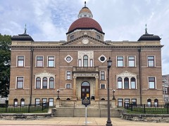
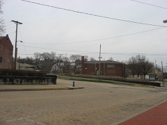
Listed on the National Register of Historic Places in
1971. A historic map-sheet match is not published yet. The record needs a coordinate-quality review before it can be joined to a sheet boundary.
From the record
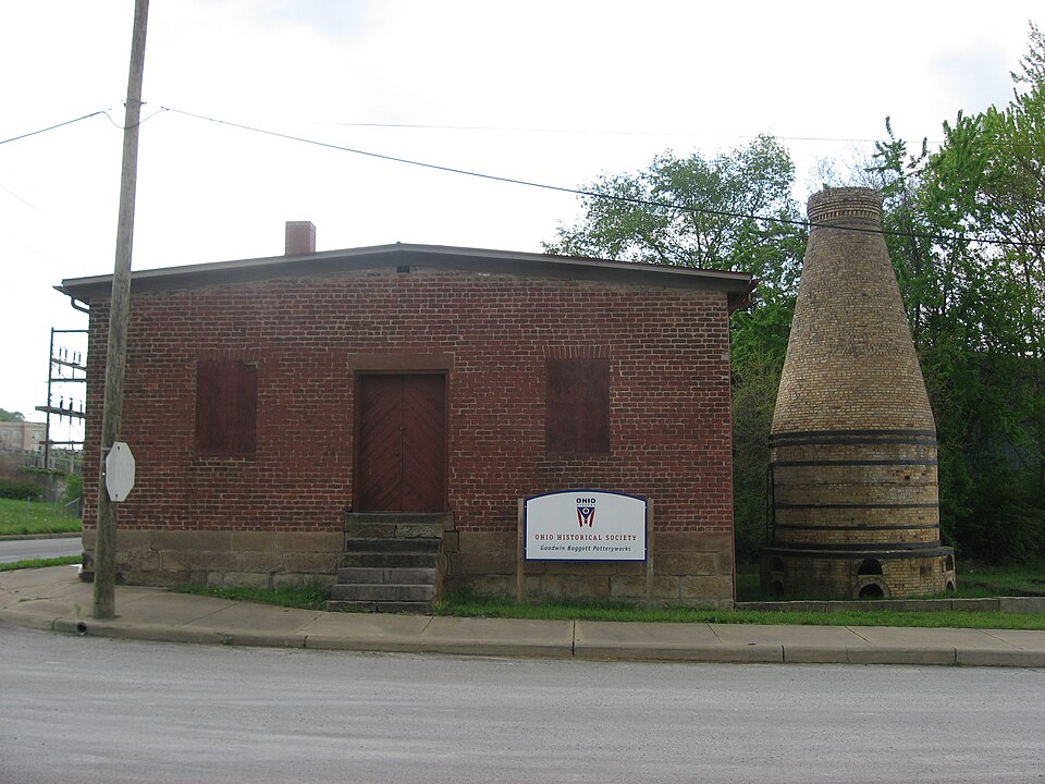
“The Goodwin Baggott Pottery operated in East Liverpool, Ohio from its construction in 1844 until it ceased production in 1939. Its main building and bottle kiln were added to the National Register of Historic Places as the East Liverpool Pottery on October 7, 1971.”
Wikipedia article Goodwin Baggott Pottery, CC BY-SA 4.0.
one of 35 National Register listings in Columbiana County · listed in 1971 · category: Building · one of 1 National Historic Landmarks in Columbiana County.
National Register reference number.71000636- the number the National Park Service assigned this property when it was listed, and the key its nomination file is catalogued under at the National Archives.
Fires near this property
32 since 1993
Regional context, not property-specific
evidence. The
federal wildfire occurrence database
lists 32 fires within 5 miles of East Liverpool Pottery between
1993 and 2020, burning about 48 acres in total. None started naturally. 5 were recorded as arson.
Distance is straight-line from the map coordinates, so a fire counted
here may appear on a neighbouring settlement's page as well.
Reported cause
Fires
Debris and open burning
13
Arson/incendiarism
5
Equipment and vehicle use
5
Misuse of fire by a minor
3
Missing data/not specified/undetermined
3
Smoking
1
Railroad operations and maintenance
1
Other causes
1
The most recent of
them, most recent first, with the day each was reported and the service
that recorded it.
Regional context, not property-specific
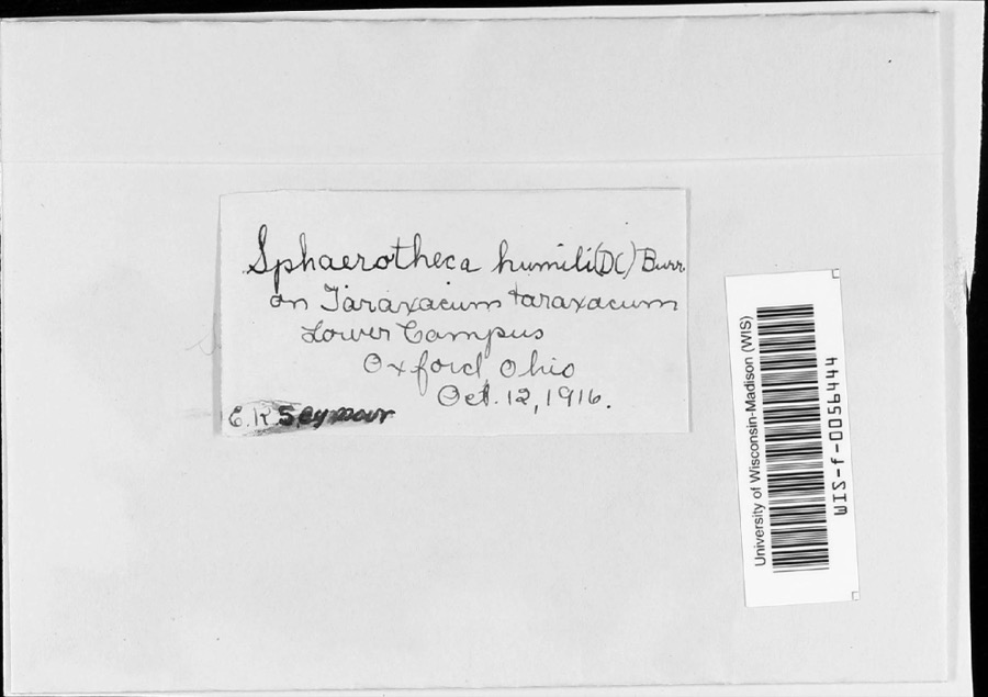
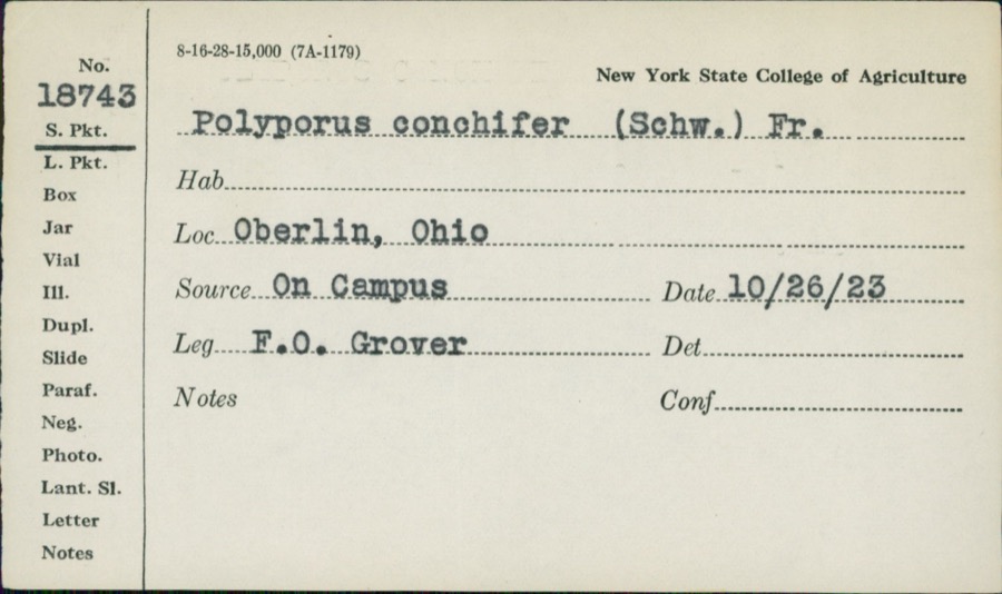
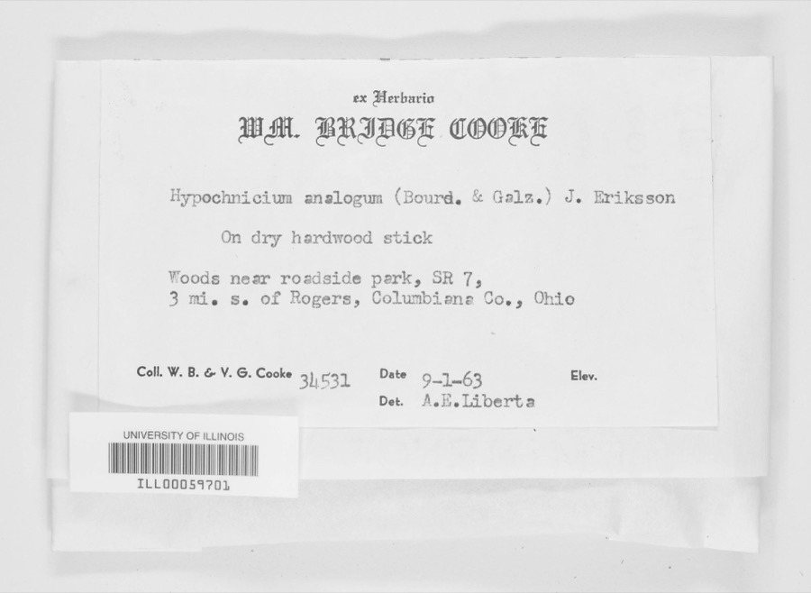
evidence. Museums hold 377 specimens
collected within 10 miles of East Liverpool Pottery between 1895 and
1975: 257 Animalia, 105 Plantae, 15 Fungi. 12 distinct Species records are shown.
Collected by Athearn, Herbert D., Beer, F.H., Bright, J. and others. Each is a
physical object with a catalogue
number, and each entry opens the museum's record. This is what was
collected and kept, not a survey of what lives here - nothing can be
concluded from a species being absent.
Regional context, not property-specific
evidence. The federal mineral resources record lists
4 workings within 5 miles of East Liverpool Pottery: 2 past producers, 1 producer, 1 unknown.
1 still produces. What was taken out: Clay, Fire Clay (Refractory), Sand and Gravel, Construction. Distance is straight-line from the
map coordinates, so a quarry counted here may appear on a neighbouring
settlement's page as well.
Regional context, not property-specific
evidence. The National Weather Service names
East Liverpool, the town this property stands in, in 51 storm reports between 1995 and 2025: 34 thunderstorm wind, 8 hail, 7 flash flood, 1 funnel cloud.
The reports record 1 injury. Each account below is quoted exactly as the forecast office
filed it, from the NOAA Storm Events Database, and each date
opens the federal record of that event.
An NWS storm survey found a downburst occurred in Thompson Park in East Liverpool. Widespread wind damage was found with trees snapped or uprooted, some falling on houses. Maximum wind gusts were estimated at 80-90 MPH. Two minor injuries were reported, one when a tree fell on a car, and another when a vehicle drove into a downed tree.
Local media reported flash flooding on West 8th Street and surrounding streets in East Liverpool with 2 vehicles swamped and a mudslide on State Route 11.
Thunderstorm winds downed numerous trees and power lines. One pickup truck was damaged in the Wellsville area when large tree limbs fell on it and crushed the roof.
Trees and power lines were downed throughout the county. Fifteen miles north of East Liverpool several trees were downed and pea size hail was also reported. Three miles northwest of Georgetown, in the northwest part of the county, some large highway signs were blown down.
1 paper published in this town,
digitised by the Library of Congress and free to read: 0 issues,
0 pages. Every page is searchable, so a name or a street can be
looked for directly in what the town printed about itself at the time.
No historic map-sheet match is published
for this property yet. That does not mean no map exists. This record needs
a coordinate-quality review before it can be joined to a sheet boundary.
Browse the county's mapped places while that work is
pending.
Named in the fire insurance atlases
Sanborn surveyors printed an index of the
town's establishments at the front of each atlas. This property is named in
one, read straight off the scanned sheet.
When this property was proposed for the
National Register, someone wrote the case for it: what the building is,
and why it matters. That document is a federal record in the public domain.
It is quoted below word for word, never summarised. The text was read off the scanned case file by machine, so the
occasional stray character is the recogniser's and the 1970s
typewriter's.
Description of the property
The old Goodwin-Baggott-Eagle-Mountford Pottery, before its partial razing in 1969-70, extended from Second St. to Pink Alley, which is parallel with shows that the Baggott property was bisected by the railroad line, extending published in 1886 by the firm of Ruger & Stoner of Madison, Wisconsin, shows section of the plant, which was in a state of complete ruin, was razed in the bottle kiln contained within those walls, were saved. "Bottle" kilns, so called because their shape resembles a bottle, were research, which is now being conducted, is completed, an accurate restoration appearance, and, eventually, to put it into active production once more, as a working museum of the Ohio pottery industry. CONDITION early Excellent its history.
than the building, it will require less preliminary structural work.After will conduct archaeological investigations of the site and will stabilize As soon as sufficient funds become available, the Ohio Historical Society The 1ast of the pottery operations at the site ceased production in 1939,and rear (south) section,was condemned by the East Liverpool Fire Department. as far south as what was then First Street.A pictorial map of East Liverpopl obviously the one still standing on the site today. 1970,but the walls of the early pottery to the front St.),as well as the pottery comprised of five buildings and two kilns.One of the kilns is (Check One) Good commonly used for the production of pottery ware, while the low, oval-shaped the north line of the Penn Central right-of-way.
An 1879 East Liverpool map the old plant was left to deteriorate. In 1968 the pottery, especially the the walls of the pottery.
The upright or "bottle" kiln is by far the oldest of the three remaining in the East Liverpool, Ohio, area, once a thriving center for the production of yellow ware and Rockingham, and is one of the oldest kilns of its type McCord, in his Columbiana County history, states: "It was about 1847 that John Goodwin, the Brunts, William Bloor, Jabez Vodrey and the ambitious firm of Woodward, Blakely & Co. all appeared as manufacturers of yellow East Liverpool, arriving in 1842 from St. Louis and working for a time for the Bennetts and later for Benjamin Harker. In the latter part of the 1840's, to operate it until 1853, when he sold the works to S. and W.
Baggott, who conducted it as a yellow ware plant for nearly 40 years, the concern at last y ellow ware pottery built in 1844 by John Goodwin was purchased in 1853 by Samuel and William Baggott, who came from the Staffordshire district of 90's, but in 1902 was again operatedby Mountford & Son and manufactured pins and spurs (potters' equipment) . the core for a pottery museum for the state of Ohio, but decided instead to use Then Mr. William H. Vodrey, Jr., East Liverpool lawyer, provided funds for the state purchase of the pottery, the 1968 condemnation order was revoked, pottery to full working condition as a State Memorial and "living" museum of the early Ohio pottery industry.
1844 Communications Commerce Conservation Military Aboriginal Transportation Architecture Industry Theater losophy SIGNIFICANCE Literature itarian Pre-Columbian Religion/Phi Prehistoric Education Engineering Music Science Landscape Agriculture Sculpture Social/Human- of Rockingham and yellow ware. The firm discontinued business during the extant in the United States.
Quoted from the National Register nomination
for reference 71000636, 12 pages, held by the National Archives in Record
Group 79. See the
catalogue record.
Listed places nearby
6 within 8 miles
Other National Register properties close
enough to walk or drive between, ordered by distance from this one. Both
positions come from the same geocoding pass that matched these properties
to their map sheets.
Listing record. National Park Service National Register of Historic Places, listed-properties dataset, current to 2026-05-22.
Map join. Address geocoded through the United States Census geocoder, then tested against the published boundary of every sheet in the USGS Historical Topographic Map Collection.
How this page is made. Listing fields come from federal records; map-sheet coverage is a labelled coordinate-to-boundary calculation, not a source-field claim.
Wildfire. Short, Karen C. 2022. Spatial wildfire occurrence data for the United States, 1992-2020 [FPA_FOD_20221014]. 6th Edition. Fort Collins, CO: Forest Service Research Data Archive. https://doi.org/10.2737/RDS-2013-0009.6 Collected with United States Government funding and usable without additional permissions or fees.
Specimens. Global Biodiversity Information Facility (GBIF), https://www.gbif.org/. Only records licensed CC0 or CC BY are used. Records licensed CC BY-NC are excluded because this site carries advertising. Images are checked individually and any whose licence is non-commercial, no-derivatives or unreadable is refused.
Mines and quarries. USGS Mineral Resources Data System (MRDS) https://mrdata.usgs.gov/mrds/ A work of the United States government, no copyright under 17 U.S.C. 105.
Storms. NOAA National Centers for Environmental Information, Storm Events Database https://www.ncei.noaa.gov/stormevents/ A work of the United States government, no copyright under 17 U.S.C. 105. Narratives are quoted verbatim from the National Weather Service report and are not edited or summarised.
 Block
Block