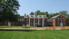
Listed on the National Register of Historic Places in
1971. A historic map-sheet match is not published yet. The record needs a coordinate-quality review before it can be joined to a sheet boundary.
From the record
“In 1848, when an effort was made to form the township of Cedarville, some citizens of Ross objected to the measure, entering a vigorous protest against it, the parties making this protest saying to the commissioners: "Our reasons we will fully set forth in your presence, only adding here that we are not wiUing to have any of our township cut off. wliicl: is ah'eady too small, to gratify the caprice or spleen of any."”
History of Greene County, Ohio; Embracing the Organization of the County, Its Division Into Townships, Sketches of Local Interest Gleaned from the Pioneers from 1803 to 1840, Together with a Roster of the Soldiers of the Revolution and the War of 1812, Who Were Residing in the County, Also, a Roster of Ten Thousand of the Early Settlers from 1803 to 1840 (1902). Machine-read text.
one of 30 National Register listings in Greene County · listed in 1971 · category: Site · one of 1 National Historic Landmarks in Greene County.
National Register reference number.71000639- the number the National Park Service assigned this property when it was listed, and the key its nomination file is catalogued under at the National Archives.
In 1848, when an effort was made to form the township of Cedarville, some citizens of Ross objected to the measure, entering a vigorous protest against it, the parties making this protest saying to the commissioners: "Our reasons we will fully set forth in your presence, only adding here that we are not wiUing to have any of our township cut off. wliicl: is ah'eady too small, to gratify the caprice or spleen of any."
Regional context, not property-specific
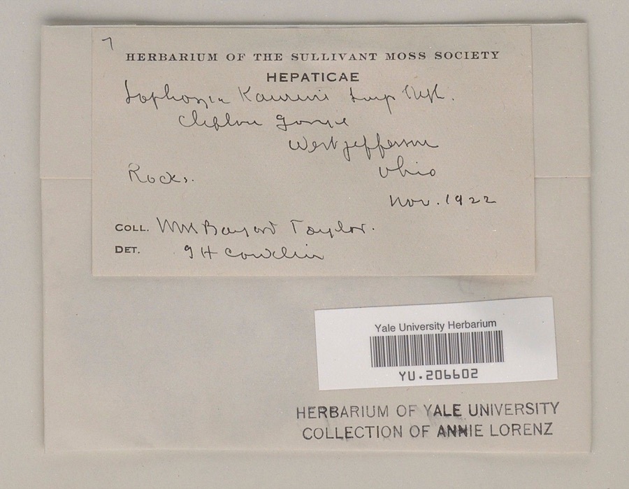
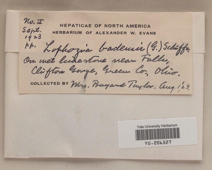
evidence. Museums hold 893 specimens
collected within 10 miles of Williamson Mound State Memorial between 1870 and
1975: 633 Animalia, 142 Plantae, 116 Fungi, 1 Protozoa, 1 Unrecorded. 12 distinct Species records are shown.
Collected by ?, A JOHN, A. H. Bauer and others. Each is a
physical object with a catalogue
number, and each entry opens the museum's record. This is what was
collected and kept, not a survey of what lives here - nothing can be
concluded from a species being absent.
Regional context, not property-specific
evidence. The federal mineral resources record lists
5 workings within 5 miles of Williamson Mound State Memorial: 3 past producers, 1 plant, 1 producer.
2 still produce. What was taken out: Sand and Gravel, Construction, Limestone, General, Stone, Crushed/Broken. Distance is straight-line from the
map coordinates, so a quarry counted here may appear on a neighbouring
settlement's page as well.
Regional context, not property-specific
evidence. The National Weather Service names
Cedarville, the town this property stands in, in 24 storm reports between 1999 and 2024: 13 thunderstorm wind, 7 hail, 2 flood, 2 flash flood.
No death or injury is recorded in these reports. Each account below is quoted exactly as the forecast office
filed it, from the NOAA Storm Events Database, and each date
opens the federal record of that event.
No historic map-sheet match is published
for this property yet. That does not mean no map exists. This record needs
a coordinate-quality review before it can be joined to a sheet boundary.
Browse the county's mapped places while that work is
pending.
From the nomination file
1,153 words on record
When this property was proposed for the
National Register, someone wrote the case for it: what the building is,
and why it matters. That document is a federal record in the public domain.
It is quoted below word for word, never summarised. The text was read off the scanned case file by machine, so the
occasional stray character is the recogniser's and the 1970s
typewriter's.
Description of the property
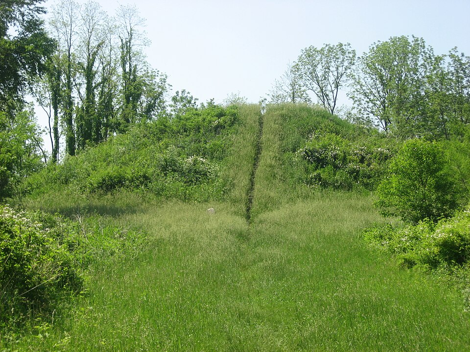
Building and Savings Co. of Xenia, it was restored to the mound exploration by Squier and Davis in the 1840's, and pos- of the inaccessible site to the Greene County Park District, Xenia, as a part of a new county park under all CONDITION appropriate safeguards. Ruins original condition, covering the excavation scars of earlier Shortly after the mound was given to The Ohio Historical overlooking Massie Creek. The owmer has authorized, subject to legislative approval 150 feet in diameter.It is situated in a small grassy park Society in 1929 in 3 tracts by D.S.Williamson and the Home (Check One) Good * Original Site Moved Fair PERIOD (Check One or More as Appropriate) * Pre-Columbian! - 20th Century Other (Specify) - Invention STATEMENT OF
Statement of significance
disclose not only changes in burial practices, but also changes in Conservation Communications Commerce Engineering Architecture Military SIGNIFICANCE losophy Transportation Landscape Aboriginal Theater Prehistoric Education Literature Religion/Phi Music Political Sculpture Agriculture Industry it was undoubtedly slight in terms of the entire mound.If the mound were erected over a considerable period, excavation may The mound will very likely prove important archaeologically Science Social/Human- itarian when it is excavated completely. living habits of the Adena people.
This large Adena mound was probably constructed twoards Urban Planning of the mound took place, probably in the 19th and 20th centuries, the end of the period 500 B.C.--400 A.D.While some exploration SPECIFIC DATES) (lf Applicable and Known) Art AREAs OF SIGNIFICANCE (Check One or More as Appropriate) 500 B.C.--400A.D
Quoted from the National Register nomination
for reference 71000639, 11 pages, held by the National Archives in Record
Group 79. See the
catalogue record.
Listed places nearby
6 within 8 miles
Other National Register properties close
enough to walk or drive between, ordered by distance from this one. Both
positions come from the same geocoding pass that matched these properties
to their map sheets.
Listing record. National Park Service National Register of Historic Places, listed-properties dataset, current to 2026-05-22.
Map join. Address geocoded through the United States Census geocoder, then tested against the published boundary of every sheet in the USGS Historical Topographic Map Collection.
How this page is made. Listing fields come from federal records; map-sheet coverage is a labelled coordinate-to-boundary calculation, not a source-field claim.
Specimens. Global Biodiversity Information Facility (GBIF), https://www.gbif.org/. Only records licensed CC0 or CC BY are used. Records licensed CC BY-NC are excluded because this site carries advertising. Images are checked individually and any whose licence is non-commercial, no-derivatives or unreadable is refused.
Mines and quarries. USGS Mineral Resources Data System (MRDS) https://mrdata.usgs.gov/mrds/ A work of the United States government, no copyright under 17 U.S.C. 105.
Storms. NOAA National Centers for Environmental Information, Storm Events Database https://www.ncei.noaa.gov/stormevents/ A work of the United States government, no copyright under 17 U.S.C. 105. Narratives are quoted verbatim from the National Weather Service report and are not edited or summarised.
 Block
Block