Listed on the National Register of Historic Places in
1973. A historic map-sheet match is not published yet. The record needs a coordinate-quality review before it can be joined to a sheet boundary.
From the record
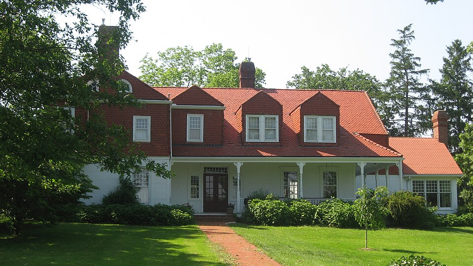
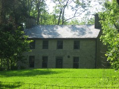
“The Whitelaw Reid House is a historic residence near the village of Cedarville in Greene County, Ohio, United States. Built in the early nineteenth century, it was home to a prominent American journalist, and it has been named a historic site.”
Wikipedia article Whitelaw Reid House, CC BY-SA 4.0.
one of 30 National Register listings in Greene County · listed in 1973 · category: Building · one of 1 National Historic Landmarks in Greene County.
Architectural style. Queen Anne style architecture in the United States
Architect. Whitelaw Reid
National Register reference number.73001448- the number the National Park Service assigned this property when it was listed, and the key its nomination file is catalogued under at the National Archives.
In 1848, when an effort was made to form the township of Cedarville, some citizens of Ross objected to the measure, entering a vigorous protest against it, the parties making this protest saying to the commissioners: "Our reasons we will fully set forth in your presence, only adding here that we are not wiUing to have any of our township cut off. wliicl: is ah'eady too small, to gratify the caprice or spleen of any."
Regional context, not property-specific
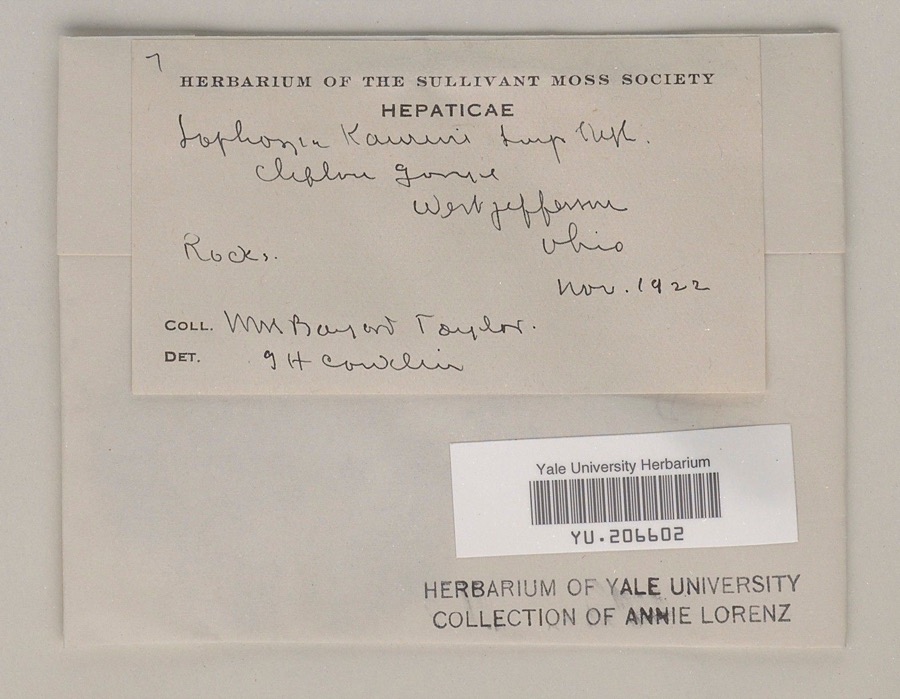
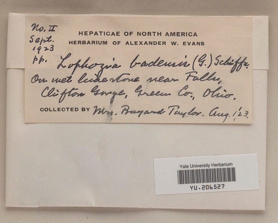
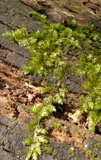
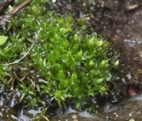
evidence. Museums hold 893 specimens
collected within 10 miles of Reid, Whitelaw, House between 1870 and
1975: 633 Animalia, 142 Plantae, 116 Fungi, 1 Protozoa, 1 Unrecorded. 12 distinct Species records are shown.
Collected by ?, A JOHN, A. H. Bauer and others. Each is a
physical object with a catalogue
number, and each entry opens the museum's record. This is what was
collected and kept, not a survey of what lives here - nothing can be
concluded from a species being absent.
Regional context, not property-specific
evidence. The federal mineral resources record lists
5 workings within 5 miles of Reid, Whitelaw, House: 3 past producers, 1 plant, 1 producer.
2 still produce. What was taken out: Sand and Gravel, Construction, Limestone, General, Stone, Crushed/Broken. Distance is straight-line from the
map coordinates, so a quarry counted here may appear on a neighbouring
settlement's page as well.
Regional context, not property-specific
evidence. The National Weather Service names
Cedarville, the town this property stands in, in 24 storm reports between 1999 and 2024: 13 thunderstorm wind, 7 hail, 2 flood, 2 flash flood.
No death or injury is recorded in these reports. Each account below is quoted exactly as the forecast office
filed it, from the NOAA Storm Events Database, and each date
opens the federal record of that event.
No historic map-sheet match is published
for this property yet. That does not mean no map exists. This record needs
a coordinate-quality review before it can be joined to a sheet boundary.
Browse the county's mapped places while that work is
pending.
From the nomination file
1,443 words on record
When this property was proposed for the
National Register, someone wrote the case for it: what the building is,
and why it matters. That document is a federal record in the public domain.
It is quoted below word for word, never summarised. The text was read off the scanned case file by machine, so the
occasional stray character is the recogniser's and the 1970s
typewriter's.
Description of the property
The house was built by Reid's father in original forest, and the oak, black uated on one of the highest points in the county with a view of several miles by attaching a narrow window, lower than the doorway, to either side of the vestibule, hall-room and stairway area are completely covered with black 1973 CONDITION Moved strength." NATIONAL REGISTER Excellent in every direction. Whitelaw Reid made some later changes.The wing was extended and the roof been originally a two-story frame building with a one-story wing, in which investigation to ascertain the stages of its evolution from an 1825 farmhouse set off by an ornamental latticework divider, which is as wide as the room new rooms in the extension of the wing were finished in cherry, sycamore, flection of his life and times.
most ambitious room is just inside the handsome, double doored front entrance.c "shoulders" which sweep up at the outer upper corner of each window.The and strong, owing to the sharp angles at which the many lines meet and their walls, and on the ceiling is set in diagonal strips whose edges are cut in a (Check One) X Good - Unexposed MAR to the "Queen Anne Cottage" of today. However, as the alterations were made Ruins The entrance was emphasized door opening and surrounding the whole with moulding incorporating curved Fair maple woodwork. One enters a kind of vestibule, actually just a division of the main room fanciful capitals on the turned porch columns.
AREAs OF SIGNIFICANCE (Check One or More as Appropriate) PERIOD (Check One or More as Appropriate) SPECIFIC DATE(S) (If Applicable and Known) Military . the War (1868). In 1868 he was invited by Horace Greeley to join the editor- Great Britain in 1897 at the Queen's Jubilee, Commissioner to the paris con- losophy rison.Subsequent service included appointments as Special Ambassador to and proprietor. in 1892 he was candidate for Vice President on the ticket with Benjamin Har ville and xenia.He attended the Xenia Academy and graduated at the age of He also was chosen regent for life of the University of New bassador to Great Britain.for the Coronation of Edward VII in 1902.
Quoted from the National Register nomination
for reference 73001448, 10 pages, held by the National Archives in Record
Group 79. See the
catalogue record.
Listed places nearby
6 within 8 miles
Other National Register properties close
enough to walk or drive between, ordered by distance from this one. Both
positions come from the same geocoding pass that matched these properties
to their map sheets.
Listing record. National Park Service National Register of Historic Places, listed-properties dataset, current to 2026-05-22.
Map join. Address geocoded through the United States Census geocoder, then tested against the published boundary of every sheet in the USGS Historical Topographic Map Collection.
How this page is made. Listing fields come from federal records; map-sheet coverage is a labelled coordinate-to-boundary calculation, not a source-field claim.
Specimens. Global Biodiversity Information Facility (GBIF), https://www.gbif.org/. Only records licensed CC0 or CC BY are used. Records licensed CC BY-NC are excluded because this site carries advertising. Images are checked individually and any whose licence is non-commercial, no-derivatives or unreadable is refused.
Mines and quarries. USGS Mineral Resources Data System (MRDS) https://mrdata.usgs.gov/mrds/ A work of the United States government, no copyright under 17 U.S.C. 105.
Storms. NOAA National Centers for Environmental Information, Storm Events Database https://www.ncei.noaa.gov/stormevents/ A work of the United States government, no copyright under 17 U.S.C. 105. Narratives are quoted verbatim from the National Weather Service report and are not edited or summarised.
 Block
Block