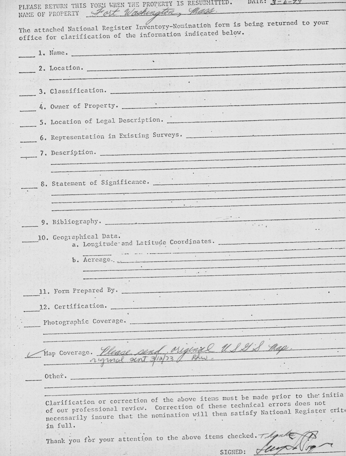
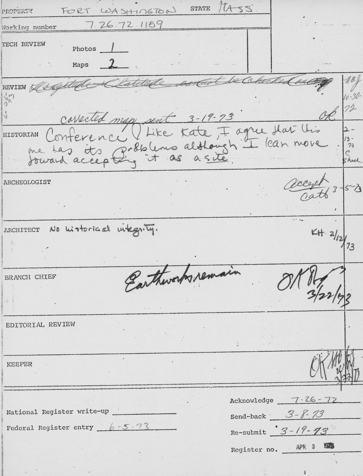
Photographs from the nomination case file, National Park Service records.
Fort Washington
Listed on the National Register of Historic Places in
1973. A historic map-sheet match is not published yet. The record needs a coordinate-quality review before it can be joined to a sheet boundary.
From the record
“Richard Henry (1787-1879) was the author, poet and essayist. He was one of the founders of the North American Review.”
A History of Cambridge, Massachusetts, 1630-1913 (1913). Machine-read text.
one of 1100 National Register listings in Middlesex County · listed in 1973 · category: Structure · one of 3 National Historic Landmarks in Middlesex County.
National Register reference number.73000284- the number the National Park Service assigned this property when it was listed, and the key its nomination file is catalogued under at the National Archives.
In October, 1660, the County Court ordered, that the House of Correction, or Bridewell, should be used as a prison for the County, until further provision be made. Such provision was made by the erection of a jail l before Aug. 26, 1692, when it was ordered by the Court, " that the County Treasurer take care that their majesties Goal at Cambridge be repaired, for the comfortable being of what persons may be committed forthwith." 2 It was also ordered, Dec. 14, 1703, " that an addition be made to the prison at the west end thereof, of eighteen foot square, with studs conformable to the old house." A dozen years later, the old part of the prison became so unsatisfactory, that the Court appointed " a committee to agree with carpenters and other workmen to erect and build a good well-timbered house in Cambridge for a Prison, for the accommodation of a keeper, to be thirty-six foot long, and for width agreeable to the foundation of the old Goal or Prison, two storeys high, fifteen foot stud, with a stack of chyrnneys in the middle, to be done and finished workmanlike, as soon as may be conveniently effected Further
Until 1720, the " Common " extended to Linnaean Street, and included also a few acres, lying in a nearly square form, at the northwesterly corner of Linnaean Street and North Avenue.1 This extreme point of the Common was set apart as a " Place of Execution," or " Gallows Lot," as it was more familiarly called. And after the Common was reduced to its present size, and the lots in this square fronting on the streets, had been granted to individuals, about one acre in its extreme northwesterly corner was reserved for its former use, until trials, and imprisonments, and executions were transferred to East Cambridge.2 It was entered from North Avenue through a bridleway or passage, between Lancaster Place and Arlington Street, now called Stone Court.
Regional context, not property-specific
evidence. The
federal wildfire occurrence database
lists 37 fires within 5 miles of Fort Washington between
2015 and 2020, burning about 25 acres in total. None started naturally. 2 were recorded as arson.
Distance is straight-line from the map coordinates, so a fire counted
here may appear on a neighbouring settlement's page as well.
Reported cause
Fires
Missing data/not specified/undetermined
16
Recreation and ceremony
7
Smoking
5
Debris and open burning
5
Arson/incendiarism
2
Equipment and vehicle use
1
Misuse of fire by a minor
1
The most recent of
them, most recent first, with the day each was reported and the service
that recorded it.
Regional context, not property-specific
evidence. Museums hold 2,078 specimens
collected within 10 miles of Fort Washington between 1898 and
1975: 902 Animalia, 664 Plantae, 448 Fungi, 27 Protozoa, 17 Bacteria, 12 Chromista, 8 Unrecorded. 12 distinct Species records are shown.
Collected by ?, A B Seymour, A B. Proper and others. Each is a
physical object with a catalogue
number, and each entry opens the museum's record. This is what was
collected and kept, not a survey of what lives here - nothing can be
concluded from a species being absent.
Regional context, not property-specific
evidence. The federal mineral resources record lists
11 workings within 5 miles of Fort Washington: 9 plants, 2 past producers.
9 still produce. What was taken out: Iron, Lead, Tantalum, Niobium (Columbium). Distance is straight-line from the
map coordinates, so a quarry counted here may appear on a neighbouring
settlement's page as well.
Regional context, not property-specific
evidence. The National Weather Service names
Cambridge, the town this property stands in, in 16 storm reports between 2006 and 2023: 7 thunderstorm wind, 3 flood, 3 flash flood, 2 lightning.
No death or injury is recorded in these reports. Each account below is quoted exactly as the forecast office
filed it, from the NOAA Storm Events Database, and each date
opens the federal record of that event.
No historic map-sheet match is published
for this property yet. That does not mean no map exists. This record needs
a coordinate-quality review before it can be joined to a sheet boundary.
Browse the county's mapped places while that work is
pending.
From the nomination file
3,183 words on record
When this property was proposed for the
National Register, someone wrote the case for it: what the building is,
and why it matters. That document is a federal record in the public domain.
It is quoted below word for word, never summarised. The text was read off the scanned case file by machine, so the
occasional stray character is the recogniser's and the 1970s
typewriter's.
Description of the property
Moved Ruins Unexposed (Check One) 30 Origiral Site Fort Washington, a 3/4 acre site at 95 Waverly Street, is a public park enclosed by an iron and granite fence. The park was planned around the half-moon battery built in 1775 and restored by the city in 1857. The semi-circular fortification has a diameter of approxi- mately 120', a length of 20', and a width varying from 3' to 5'. There are three openings in the mound for artillery facing southeast, south, and southwest, the same directions indicated on Henry Pelham's 1777 map of Boston and vicinity. 18 pound cannon have occupied the three positions since 1857 when the park was restored, although the original guns would have been much smaller. Trees surround the embankment.
The 1858 fence enclosing the park was désigned to commemorate the role of the site in the Revolution. Reliefs of cannon adorn the heavy granite entrance posts, the iron fence posts are also in the shape of cannon, and the pickets are alternately spears and halberds. - the addition of two bronze tablets (1928) on the entrance posts. The condition of the fence and park made in 1903, 1928, and 1966. The fence is presently in need of further repair but the park itself is in good condition. RECENED JUL 26 1972 NATIONAL REGISTER un - Z Form 10-300a (July 1969) UNITED STATES DEPARTMENT OF THE INTERIOR NATIONAL PARK SERVICE NATIONAL REGISTER OF HISTORIC PLACES INVENTORY - NOMINATION FORM (Continuation Sheet) STATE Massachusetts COUNTY Middlesex FOR NPS USE ONLY ENTRY NUMBER APR.
3 DATE 1973 (Number all entries) Cambridge Fort Washington 6. Representation in Existing Surveys Title: Inventory of the Historical Assets of Mass.
20th Century - Urban Planning X] Other (Specify) Preservation F Z - Fort Washington is the site of the only surviving Revolutionary fortification in Cambridge. It was one of a series of half-moon batteries built in 1775 by order of General Washington to protect Cambridge from attack from the river. These and other forti- fications appear of the 1777 map of Boston and vicinity prepared by Henry Pelham for the British. The land on which the fortification had been built remained in private hands until 1857 when the Dana tamily deeded It to the City oi Cambridge to be enclosed ana used as a publlc park.
The City accepted the gift and with the Commonwealth of Massachusetts restored the three-gun battery to its original condition, landscaped the grounds, built an elaborate granite and iron fence (1858, John R. Hall, architect), and installed three 18 pound cannon which had been obtained from the old Fort Warren in Boston Harbor. In the years following the restoration of the site, the area around Waverly Street began to develop industrially until factories and warehouses completely surrounded the public park. Fort Washington itself, however, remained unchanged except for occasional repairs and improvements from 1900 to the present and the addition of bronze tablets on the granite posts in 1928.
Fort Washington is significant not only for its associations with the American Revolution but as an early example of historic preservation efforts of private and public groups.
Quoted from the National Register nomination
for reference 73000284, 21 pages, held by the National Archives in Record
Group 79. See the
catalogue record.
Listed places nearby
6 within 8 miles
Other National Register properties close
enough to walk or drive between, ordered by distance from this one. Both
positions come from the same geocoding pass that matched these properties
to their map sheets.
Listing record. National Park Service National Register of Historic Places, listed-properties dataset, current to 2026-05-22.
Map join. Address geocoded through the United States Census geocoder, then tested against the published boundary of every sheet in the USGS Historical Topographic Map Collection.
How this page is made. Listing fields come from federal records; map-sheet coverage is a labelled coordinate-to-boundary calculation, not a source-field claim.
Wildfire. Short, Karen C. 2022. Spatial wildfire occurrence data for the United States, 1992-2020 [FPA_FOD_20221014]. 6th Edition. Fort Collins, CO: Forest Service Research Data Archive. https://doi.org/10.2737/RDS-2013-0009.6 Collected with United States Government funding and usable without additional permissions or fees.
Specimens. Global Biodiversity Information Facility (GBIF), https://www.gbif.org/. Only records licensed CC0 or CC BY are used. Records licensed CC BY-NC are excluded because this site carries advertising. Images are checked individually and any whose licence is non-commercial, no-derivatives or unreadable is refused.
Mines and quarries. USGS Mineral Resources Data System (MRDS) https://mrdata.usgs.gov/mrds/ A work of the United States government, no copyright under 17 U.S.C. 105.
Storms. NOAA National Centers for Environmental Information, Storm Events Database https://www.ncei.noaa.gov/stormevents/ A work of the United States government, no copyright under 17 U.S.C. 105. Narratives are quoted verbatim from the National Weather Service report and are not edited or summarised.
 Block
Block