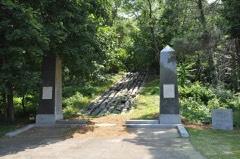
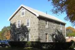
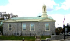
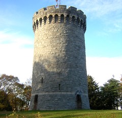
Photographs from the nomination case file, National Park Service records.
Quincy Granite Railway Incline
Listed on the National Register of Historic Places in
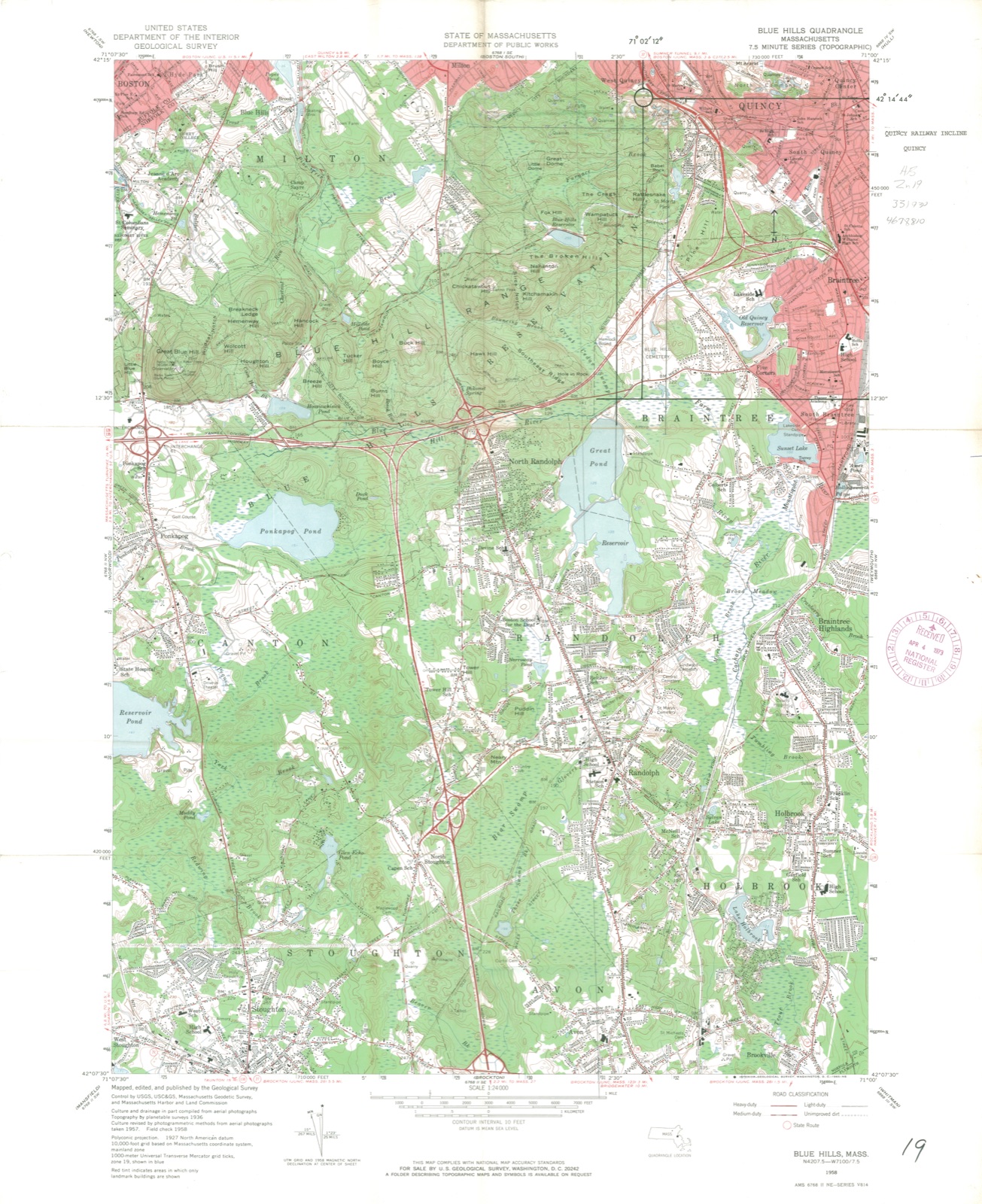
1973. A historic map-sheet match is not published yet. The record needs a coordinate-quality review before it can be joined to a sheet boundary.
From the record
one of 249 National Register listings in Norfolk County · listed in 1973 · category: Structure · one of 2 National Historic Landmarks in Norfolk County.
National Register reference number.73000310- the number the National Park Service assigned this property when it was listed, and the key its nomination file is catalogued under at the National Archives.
Fires near this property
232 since 2015
Regional context, not property-specific
evidence. The
federal wildfire occurrence database
lists 232 fires within 5 miles of Quincy Granite Railway Incline between
2015 and 2020, burning about 140 acres in total. None started naturally. None was recorded as arson.
Distance is straight-line from the map coordinates, so a fire counted
here may appear on a neighbouring settlement's page as well.
Reported cause
Fires
Recreation and ceremony
170
Smoking
36
Missing data/not specified/undetermined
20
Debris and open burning
3
Equipment and vehicle use
2
Railroad operations and maintenance
1
The most recent of
them, most recent first, with the day each was reported and the service
that recorded it.
Regional context, not property-specific
evidence. Museums hold 11,955 specimens
collected within 10 miles of Quincy Granite Railway Incline between 1810 and
1975: 5,465 Plantae, 2,986 Fungi, 2,873 Animalia, 350 Chromista, 197 Protozoa, 54 Unrecorded, 30 Bacteria. 12 distinct Species records are shown.
Collected by (MARSDEN, H W), ?, A C Gibson and others. Each is a
physical object with a catalogue
number, and each entry opens the museum's record. This is what was
collected and kept, not a survey of what lives here - nothing can be
concluded from a species being absent.
Regional context, not property-specific
evidence. The federal mineral resources record lists
3 workings within 5 miles of Quincy Granite Railway Incline: 2 producers, 1 past producer.
2 still produce. What was taken out: Granite, Stone, Crushed/Broken, Sand and Gravel, Construction. Distance is straight-line from the
map coordinates, so a quarry counted here may appear on a neighbouring
settlement's page as well.
Regional context, not property-specific
evidence. The National Weather Service names
Quincy, the town this property stands in, in 29 storm reports between 1995 and 2025: 10 thunderstorm wind, 8 flood, 5 flash flood, 3 hail.
No death or injury is recorded in these reports. Each account below is quoted exactly as the forecast office
filed it, from the NOAA Storm Events Database, and each date
opens the federal record of that event.
Several streets in the area of Quincy, Braintree, and Milton were flooded with one to two feet of water. One car was stuck in flood waters at Granite and Chickatawbut Roads in Quincy.
In Quincy, a tree was down on a car at the intersection of Evans Street and West Squantum Street. A person was trapped and extricated, but fortunately was uninjured. Police report relayed by amateur radio.
No historic map-sheet match is published
for this property yet. That does not mean no map exists. This record needs
a coordinate-quality review before it can be joined to a sheet boundary.
Browse the county's mapped places while that work is
pending.
From the nomination file
1,720 words on record
When this property was proposed for the
National Register, someone wrote the case for it: what the building is,
and why it matters. That document is a federal record in the public domain.
It is quoted below word for word, never summarised. The text was read off the scanned case file by machine, so the
occasional stray character is the recogniser's and the 1970s
typewriter's.
Description of the property
The incline is located at the end of Mullin Street in Quincy, west of the south-east expressway to Boston. Mullin Street, a dead end, stops at the base (north end) of the Incline and partly forms the north perimeter of the defunct quarries. The terrain is rough and irregular, demonstrating the effects of the active years of quarrying. The area south of the Incline is characterized by numerous dirt roads and abandoned quarry pits. The original Incline, 315' long at an angle of 15 degrees, was built to overcome an 84' elevation which blocked access to the Pine Hill Ledge Quarry. The Incline was built in a similar manner to the main Granite Railway bed, 1' - 4' deep, excavated and filled with stone.
sleepers or ties, 7' - 8' long, 8" - 14" across the top and 12" - 18" deep, were placed horizontally across the top of the bed at eight foot intervals. Cars moving up and down the plane were controlled by a chain attached to each car. Today, one can see the pulley wheels that carried the chain. (This operation, just as Bryant designed and built it, remained in use until 1901 when regulation railroad tracks were laid over the original structure. In 1920, the tracks were removed, and two steel channels. were placed on the westerly side of the original track structure. A steel cable, powered by steam, was used to move the huge granite blocks. The Incline functioned until the early 1940's.
Today, approximately 130- of the original structure remains; its top or south section has been removed along with the south portion of the elevation on which it was originally built. NAt the base of the Incline stad two commemorative pillars, 25' in height.
TOL The Granite Railway, which transported stone for the Bunker Hill Monument from the quarries of luincy to the Neponset River in Milton, is the first example of the commercial use of rails in the United States. *The Granite Railway was incorporated March 4, 1826 and the first horse drawn car traversed the three mile distance on October 7, 1826. At a time when canals were considered the optimum method for the efficient flow of goods and merchandise, this innovative use of rails was met with skepticism.! Three years later, however, a committee appointed by the Massachusetts General Court recommended the construction of a similar line to Providenae, Rhode Island. The skepticism had passed and the Granite Railway had issued forth a new era.
Although horse power was used, fundamental engineering problems were solved in the construction and operation of the Granite Railway that would stimulate the rapid growth of railroads in the 1830's and 1840's. Gridley Bryant, the engineer and projector of the Granite Railway, invented the eight-wheeled car which became the basic design for railroad cars throughout the country. He also invented the turntable, later used in round houses, and the switch and turnout. The Incline in Quincy is a further example of Bryant's genius and one of the few extant remains of the Granite Railway. It was constructed in 1830 to provide access to Pine Hill Quarry. The Railway was constructed on a level plane with a minimum of grade to protect the horses.
However, the main quarry could not be reached without overcoming an 84' vertical elevation. Bryant solved this problem by constructing a 315' long inclined or gravity plane at an angle of 15 degrees. The Incline, like the rest of the road, was built using granite sleepers or ties.
Quoted from the National Register nomination
for reference 73000310, 8 pages, held by the National Archives in Record
Group 79. See the
catalogue record.
Listed places nearby
6 within 8 miles
Other National Register properties close
enough to walk or drive between, ordered by distance from this one. Both
positions come from the same geocoding pass that matched these properties
to their map sheets.
Listing record. National Park Service National Register of Historic Places, listed-properties dataset, current to 2026-05-22.
Map join. Address geocoded through the United States Census geocoder, then tested against the published boundary of every sheet in the USGS Historical Topographic Map Collection.
How this page is made. Listing fields come from federal records; map-sheet coverage is a labelled coordinate-to-boundary calculation, not a source-field claim.
Wildfire. Short, Karen C. 2022. Spatial wildfire occurrence data for the United States, 1992-2020 [FPA_FOD_20221014]. 6th Edition. Fort Collins, CO: Forest Service Research Data Archive. https://doi.org/10.2737/RDS-2013-0009.6 Collected with United States Government funding and usable without additional permissions or fees.
Specimens. Global Biodiversity Information Facility (GBIF), https://www.gbif.org/. Only records licensed CC0 or CC BY are used. Records licensed CC BY-NC are excluded because this site carries advertising. Images are checked individually and any whose licence is non-commercial, no-derivatives or unreadable is refused.
Mines and quarries. USGS Mineral Resources Data System (MRDS) https://mrdata.usgs.gov/mrds/ A work of the United States government, no copyright under 17 U.S.C. 105.
Storms. NOAA National Centers for Environmental Information, Storm Events Database https://www.ncei.noaa.gov/stormevents/ A work of the United States government, no copyright under 17 U.S.C. 105. Narratives are quoted verbatim from the National Weather Service report and are not edited or summarised.
 Block
Block