

BlockBefore
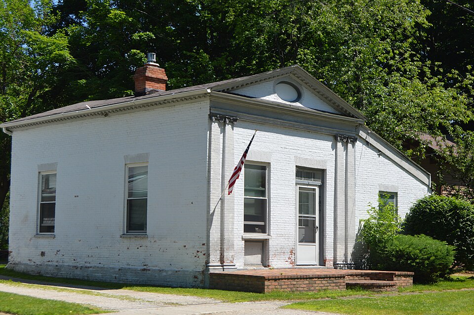
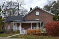
Photograph of Connecticut Land Company Office
Photograph by Nyttend, Public domain. Via Wikimedia Commons.

Connecticut Land Company Office

Listed on the National Register of Historic Places in 1973. A historic map-sheet match is not published yet. The record needs a coordinate-quality review before it can be joined to a sheet boundary.

From the record

one of 75 National Register listings in Lake County · listed in 1973 · category: Building · one of 2 National Historic Landmarks in Lake County.

Sources: the case file at the National Archives · the National Register database, National Park Service

The listing

  • What is counted as historic. The nomination lists 1 building as contributing to the listing.
  • Address. 7071 E. Main St., Unionville, 44057
  • When was it listed? 1973-08-14
  • Category. building
  • Township. Madison township
  • National Register reference number. 73001491 - the number the National Park Service assigned this property when it was listed, and the key its nomination file is catalogued under at the National Archives.

Specimens collected near this property

12 of 307 shown

Regional context, not property-specific evidence. Museums hold 307 specimens collected within 10 miles of Connecticut Land Company Office between 1885 and 1975: 218 Animalia, 46 Plantae, 33 Fungi, 10 Chromista. 12 distinct Species records are shown. Collected by A.W. Cusick; R.H.Guckert, Adams J. M. R., Adams J. R. M. and others. Each is a physical object with a catalogue number, and each entry opens the museum's record. This is what was collected and kept, not a survey of what lives here - nothing can be concluded from a species being absent.

Image SpeciesYear Collected by Where, as recorded
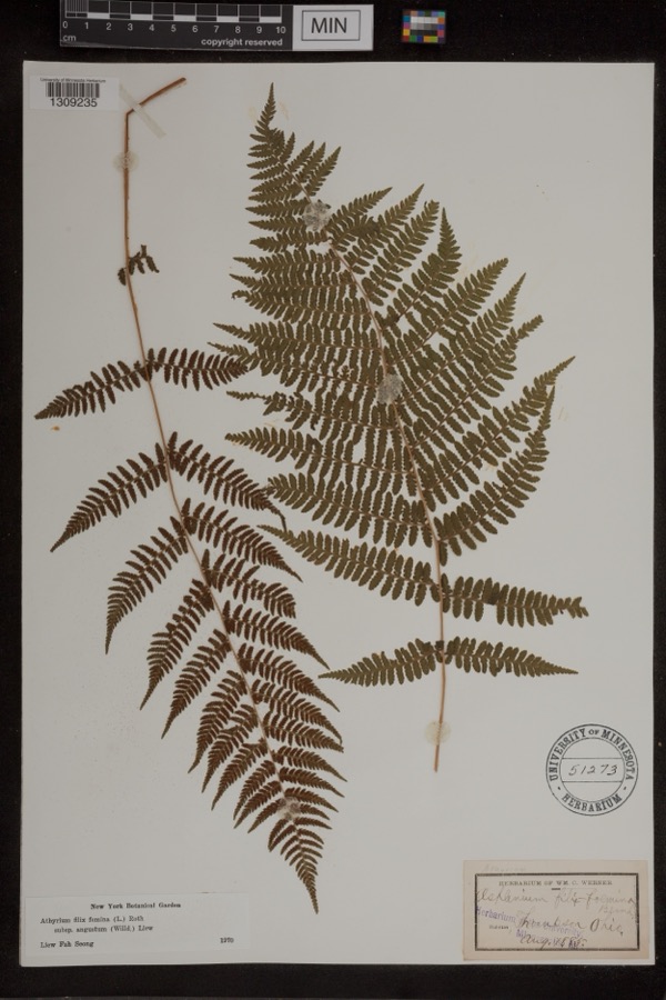
Specimen of Athyrium filix-femina var. angustum (Willd.) G.LawsonAthyrium filix-femina var. angustum (Willd.) G.Lawson1885Werner, Wm. C.Thompson
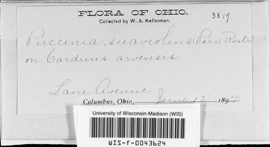
Specimen of Puccinia P.Micheli ex Haller, 1768Puccinia P.Micheli ex Haller, 17681894W. A. KellermanLane Avenue
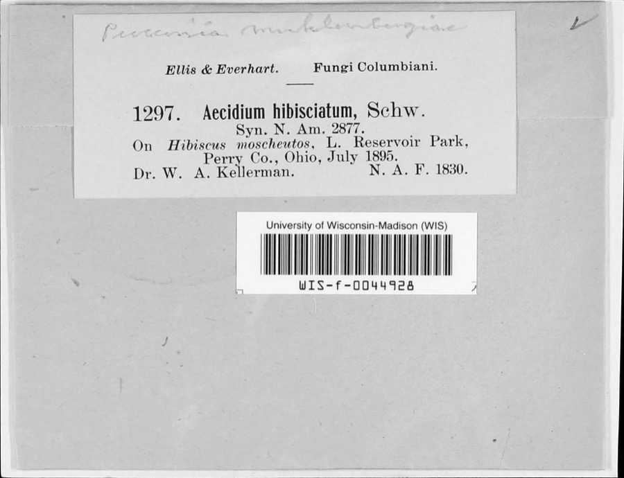
Specimen of Puccinia schedonnardi Kellerm. & SwinglePuccinia schedonnardi Kellerm. & Swingle1895W. A. Kellerman
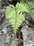
A photograph of the species Cystopteris bulbifera, not of this specimenCystopteris bulbifera (L.) Bernh.1885W. C. WernerThompson
A photograph of the species Peronospora corydalis, not of this specimenPeronospora corydalis de Bary1885Collector unspecifiedMadison
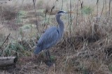
A photograph of the species Ardea herodias, not of this specimenArdea herodias herodias Linnaeus, 17581887Zetlitz, A.Madison, Ohio
A photograph of the species Buteo jamaicensis, not of this specimenButeo jamaicensis borealis (Gmelin, 1788)1887Zetlitz, A.Madison, Ohio
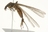
A photograph of the species Acroneuria internata, not of this specimenAcroneuria internata (Walker, 1852)1894not recorded
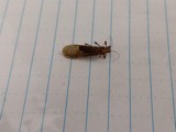
A photograph of the species Neoperla clymene, not of this specimenNeoperla clymene (Newman, 1839)1894not recorded
A photograph of the species Accipiter cooperii, not of this specimenAccipiter cooperii (Bonaparte, 1828)1897Ray DensmoreLeroy
A photograph of the species Bonasa umbellus, not of this specimenBonasa umbellus monticola Todd, 19401897Ray DensmorePerry
A photograph of the species Butorides virescens, not of this specimenButorides virescens virescens (Linnaeus, 1758)1897Ray DensmoreLeroy, Grand River, swamp

All 307 specimens within 10 miles, at the Global Biodiversity Information Facility.

Map coverage status

No historic map-sheet match is published for this property yet. That does not mean no map exists. This record needs a coordinate-quality review before it can be joined to a sheet boundary. Browse the county's mapped places while that work is pending.

Named in the fire insurance atlases

Sanborn surveyors printed an index of the town's establishments at the front of each atlas. This property is named in one, read straight off the scanned sheet.

From the nomination file

1,988 words on record

When this property was proposed for the National Register, someone wrote the case for it: what the building is, and why it matters. That document is a federal record in the public domain. It is quoted below word for word, never summarised. The text was read off the scanned case file by machine, so the occasional stray character is the recogniser's and the 1970s typewriter's.

Description of the property

sometime after 1820. with flat brick arches above and, like the facade, with wooden sills below. side. The existing chimney is not original. the front room. In any case, no fireplaces or mantels remain today. JUN 2 9 1973 Exterior Interior CONDITION NATIONAL Excellent REGISTER Ruins RECEIVED windows an enlarged plate is inserted at the center of the head molding.

This plate is rectangular with a smaller rectangle inscribed inside it This small Federal Greek Revival Style building was probably built by left side and a door with transom on the right.Both have flat brick arches Only the interior plan of the main block will be discussed here.The building must have been the pedimented brick rectangle.The wooden porch (Check One) framed in molded wood.Also at the facade are a double-hung window on the One window is located in the rear wall and the lean-to connects to the right is an obvious addition and the masonry lean-to must also have been added at their heads.Along the left sidewall are two double-hung windows also continue down the sidewall.Inside the pediment is an oval blind, X Good smaller and is rectangular in shape.

At the facade corner are twin brick pilasters with Ionic capitals. These Fair support an architrave.The gable above has dentils along its slope which and vertical trim at the windows and door openings. This space once had a fireplace along its interior wall;a similar fireplace may have existed back-to-back in These members meet at corner blocks gouged with a pattern of concentric circles.At the X] 19th Century - Urban Planning - Prehistoric X] Other (Specify) STATEMENT OF
Statement of significance

on the north, the 4lst parallel on the south, and extending east and partitioned, sold, and administered. JUN 2 9 1973 Communications Commerce Conservation Architecture REGISTER Engineering Aboriginal Military losophy Landscape Science Transportation SIGNIFICANCE NATIONAL Literature Theater Agriculture Education Music industry Invention Sculpture sold to realize endowment for her public schools.The entire Reserve, Political The original Connecticut grant had an indefinite western boundary Social/Human- local history Reserve was an indirect result of the union of the American colonies.

which obviously conflicted with.the territorial claims of present day The diminutive structure in Unionville was one of the several land itarian ceded its western lands to the Federation --with the exception of a Religion/Phi Lake County included,was sold in 1795 toa syndicate of investors Pre-Columbian| PERIOD (Check One or More as Appropriate) Pennsylvania. In 1786, yielding to an earlier court ruling, Connecticut for whom the City of Cleveland was named, led the first surveying party. Art RECEIVED The story of the Connecticut Western Reserve is a unique phenomenon in the historic settling of the lands of Trans-Appalachia.The Western offices in the Western Reserve through which the surrounding lands were

The whole case file for this property - 1,988 words, 13 pages, reproduced complete.

Quoted from the National Register nomination for reference 73001491, 13 pages, held by the National Archives in Record Group 79. See the catalogue record.

Listed places nearby

6 within 8 miles

Other National Register properties close enough to walk or drive between, ordered by distance from this one. Both positions come from the same geocoding pass that matched these properties to their map sheets.

Photograph PropertyDistance Listed
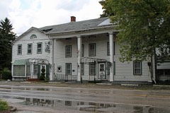
Unionville District School0.1 miles1978
Unionville Tavern0.3 miles1973
Selby, Orland, House1.4 miles1980
Smead, David, House1.7 miles1980
Norfolk and Western Freight Station2.0 miles1980
Jones, John J., House2.0 miles1980

Sources for this property

National Archives recordThe nomination case file for reference 73001491 in Record Group 79.
Lake CountyAll 75 listed properties in this county.

Provenance

  • Listing record. National Park Service National Register of Historic Places, listed-properties dataset, current to 2026-05-22.
  • Map join. Address geocoded through the United States Census geocoder, then tested against the published boundary of every sheet in the USGS Historical Topographic Map Collection.
  • How this page is made. Listing fields come from federal records; map-sheet coverage is a labelled coordinate-to-boundary calculation, not a source-field claim.
  • Specimens. Global Biodiversity Information Facility (GBIF), https://www.gbif.org/. Only records licensed CC0 or CC BY are used. Records licensed CC BY-NC are excluded because this site carries advertising. Images are checked individually and any whose licence is non-commercial, no-derivatives or unreadable is refused.