Listed on the National Register of Historic Places in
1974. A historic map-sheet match is not published yet. The record needs a coordinate-quality review before it can be joined to a sheet boundary.
From the record
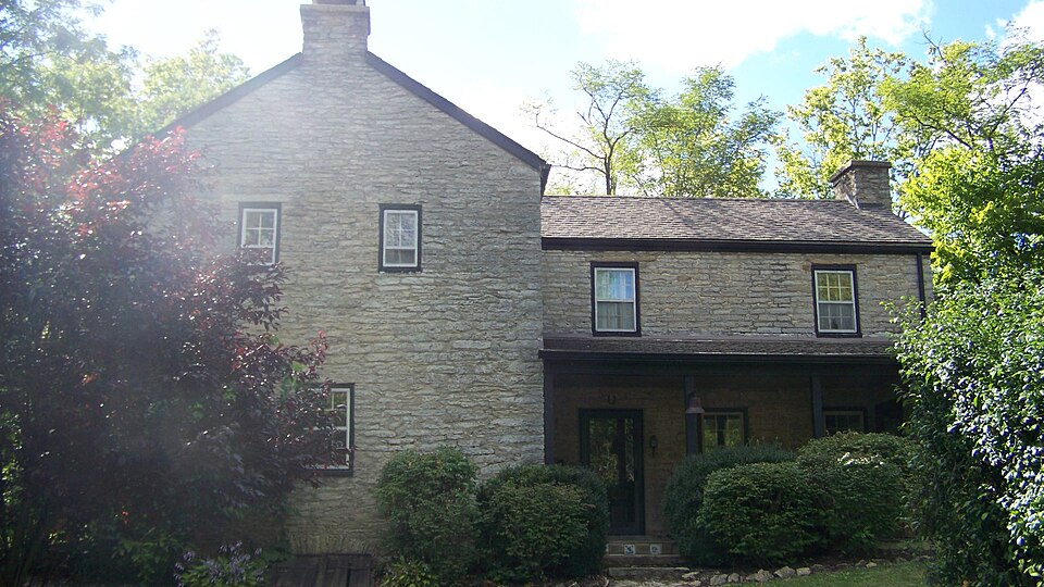
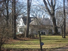
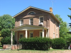
“Unzicker-Cook House is a registered historic building near Oxford, Ohio, listed in the National Register on July 24, 1974.”
Wikipedia article Unzicker-Cook House, CC BY-SA 4.0.
one of 63 National Register listings in Butler County · listed in 1974 · category: Building · one of 3 National Historic Landmarks in Butler County.
National Register reference number.74001404- the number the National Park Service assigned this property when it was listed, and the key its nomination file is catalogued under at the National Archives.
County, in 1816, and erected a saw-mill, a grist-mill, and a fulling-milf, all run by undershot wheels, on Four- Mile, now known as Lane's mill. The latter member of the firm was the fuller. Wallace did sawing for eight or ten years; also carried on the grinding department. H4 sold out to James Smiley. The property now belongs to his son-in-law, W. L. Lane, of Oxford. The present mill is a three story stone building, and was erected about 1850 by William Elliott, who was accidentally killed.
Griffith's mill stood on Four-Mile Creek, where the bottom road from Oxford crosses the stream, in 1817. There was a sawing and grinding department, both of which continued to run for twenty-five years. Half way between Lane's mill and Darrtown, Thomas Cooch built, in 1818, an overshot saw-mill. He had also previously ereeted an overshot grist-mill, thirty-five feet wheel. Thomas Cooch, Jr., with his father, also had a large distillery. All three of these establishments continued up to 1835, when the mills stopped. The stillhouse was carried on for five years longer. Pearson Stout had a still-house in 1840, on the farm now occupied by Ebenezer Brown, one mile north of Darrtown.
Regional context, not property-specific
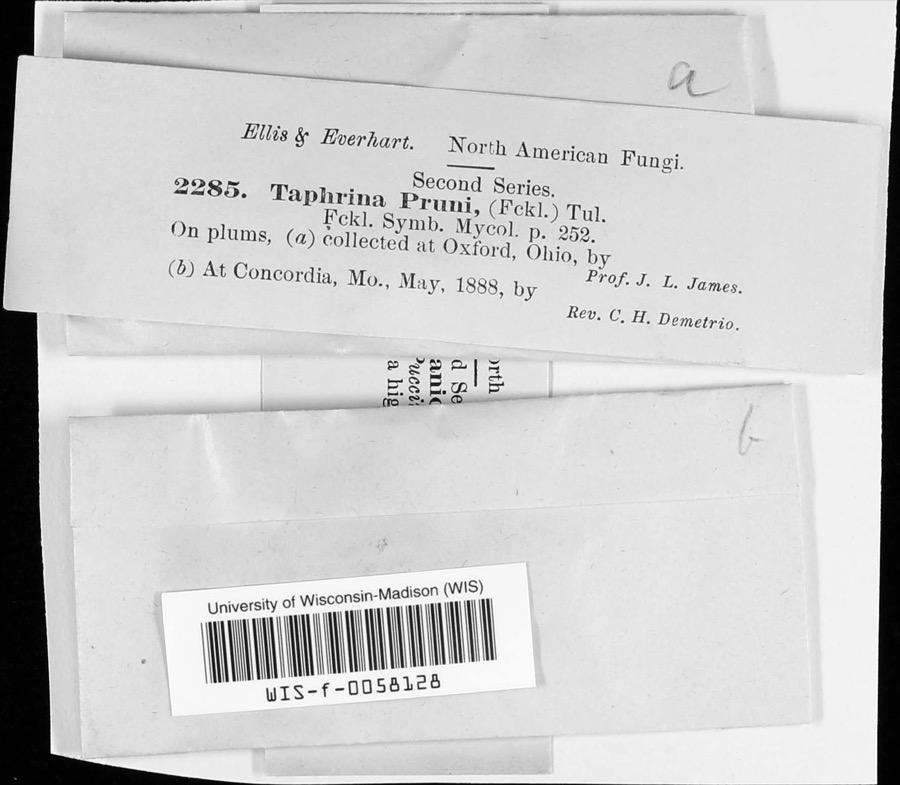
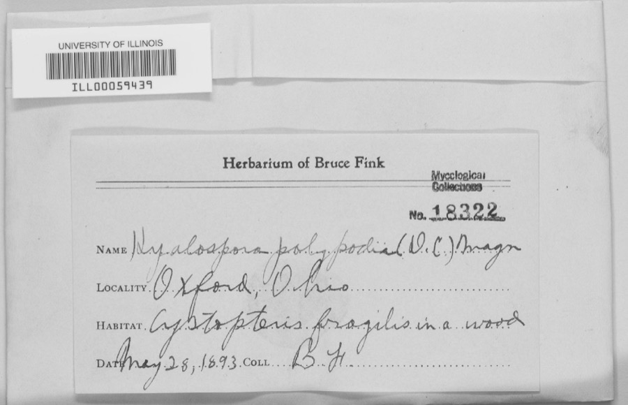
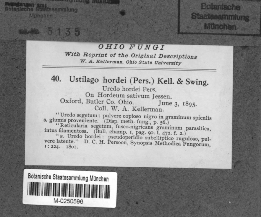
evidence. Museums hold 2,048 specimens
collected within 10 miles of Unzicker-Cook House between 1835 and
1975: 876 Fungi, 876 Animalia, 222 Plantae, 60 Protozoa, 13 Unrecorded, 1 Chromista. 12 distinct Species records are shown.
Collected by ?, A. V. J.; W. G. S., A.L.; Bucholtz, I. and others. Each is a
physical object with a catalogue
number, and each entry opens the museum's record. This is what was
collected and kept, not a survey of what lives here - nothing can be
concluded from a species being absent.
Regional context, not property-specific
evidence. The federal mineral resources record lists
1 working within 5 miles of Unzicker-Cook House: 1 plant.
All of them still produce. What was taken out: Sand and Gravel, Construction. Distance is straight-line from the
map coordinates, so a quarry counted here may appear on a neighbouring
settlement's page as well.
Regional context, not property-specific
evidence. The National Weather Service names
Oxford, the town this property stands in, in 42 storm reports between 1994 and 2024: 25 thunderstorm wind, 15 hail, 1 flash flood, 1 flood.
No death or injury is recorded in these reports. Each account below is quoted exactly as the forecast office
filed it, from the NOAA Storm Events Database, and each date
opens the federal record of that event.
One half mile of power poles were knocked down along State Route 732. Three trees up to 12 in diameter were snapped along Reily-Millville Road. A greenhouse was blown over on US Route 27 in Hanover Township.
No historic map-sheet match is published
for this property yet. That does not mean no map exists. This record needs
a coordinate-quality review before it can be joined to a sheet boundary.
Browse the county's mapped places while that work is
pending.
From the nomination file
2,160 words on record
When this property was proposed for the
National Register, someone wrote the case for it: what the building is,
and why it matters. That document is a federal record in the public domain.
It is quoted below word for word, never summarised. The text was read off the scanned case file by machine, so the
occasional stray character is the recogniser's and the 1970s
typewriter's.
Description of the property
The northernmost portion of the house is a one story addition, also of stone, set with its length perpendicular to the center portion, and parallel to the southern portion. It has a shed roof hipped on the northeast corner, which vent iron stoves, a method of heating Daniel Unzicker had known in Germany. entirely of heavy wooden columns, beams and planking. To the south and west CONDITION Ruins earlier southern section. which connects the south and north extensions. another staircase to the second floor in the southwest corner of the first floor room of this section.
Mill-sawn timbers support the attic and roof of steps.A spring which flows from the hillside immediately west of the entry The flue between the center and north portions has been restored and there Originally there were no fireplaces but there were two flue chimneys, also extends across the east side of the middle portion forming a porch this section is more carefully finished and more evenly coursed than in the floors and the original wood trim. (Check One) Site:In addition to the house there are several out-buildings which had pent roof which extends the full width of the house, over the entry and the this section.-The;interior still contains the original tulip poplar and ash one in each of.the two story sections.
It is thought that these were used to is a fireplace on the first floor in the middle room. walls are white. L Deteriorated windows on the first floor level. The field stone walls, approximately 20 inches thick, are somewhat irregularly laid. This section has a gable roof built on the site. each side, with a 6/6 window above these on the second level.
a stone mason and probably helped with the construction of the house and and take advantage of local building materials and the sloping site. The house and installed new heating, plumbing and wiring. The owner hopes to of an early 19th Century rural farm complex in southwestern Ohio. Architecture Conservation Military Commerce losophy Transportation Science Communications Theater Agriculture itarian Aboriginal Literature Music Pre-Columbian Sculpture Engineering Urban Planning Social/Human- hundred sixty acres. Industry also a preacher and both were active and faithful members of their church. Daniel Unzicker and his wife were Mennonites.At the time they moved there Invention Many settled in St.
Clair and Madison Townships in Butler County.He was The springhouse used the spring to keep its interior cool and moist. was an influx of Mennonites into Butler County from Canada and Pennsylvania. The whole complex is the result of rational site planning.Although the puildings are simple in construction and plan, they provide necessary shelter highly respected in the community although he never held public office. Prehistoric to eighty acres in Milford Township which they had bought for $300.When Religion/Phi.
property about 1839.Daniel Unzicker was also an active Democrat and was house is built close to the hillside and opens to the south and east, so it Landscape Magdalena Kahn (1803-1880).They were married in 1821 in Germany and shortly Other (Specify) Political PERIOD (Check One or More as Appropriate) About 1828 they moved to Butler County, Ohio and settled at Overpeck. Later they moved festore the other buildings on the site, thereby preserving an unusual example Daniel Unzicker (1798-1863) came from Bavaria, Germany with his wife, except Elizabeth who was a school teacher.
Quoted from the National Register nomination
for reference 74001404, 18 pages, held by the National Archives in Record
Group 79. See the
catalogue record.
Listed places nearby
6 within 8 miles
Other National Register properties close
enough to walk or drive between, ordered by distance from this one. Both
positions come from the same geocoding pass that matched these properties
to their map sheets.
Listing record. National Park Service National Register of Historic Places, listed-properties dataset, current to 2026-05-22.
Map join. Address geocoded through the United States Census geocoder, then tested against the published boundary of every sheet in the USGS Historical Topographic Map Collection.
How this page is made. Listing fields come from federal records; map-sheet coverage is a labelled coordinate-to-boundary calculation, not a source-field claim.
Specimens. Global Biodiversity Information Facility (GBIF), https://www.gbif.org/. Only records licensed CC0 or CC BY are used. Records licensed CC BY-NC are excluded because this site carries advertising. Images are checked individually and any whose licence is non-commercial, no-derivatives or unreadable is refused.
Mines and quarries. USGS Mineral Resources Data System (MRDS) https://mrdata.usgs.gov/mrds/ A work of the United States government, no copyright under 17 U.S.C. 105.
Storms. NOAA National Centers for Environmental Information, Storm Events Database https://www.ncei.noaa.gov/stormevents/ A work of the United States government, no copyright under 17 U.S.C. 105. Narratives are quoted verbatim from the National Weather Service report and are not edited or summarised.
 Block
Block