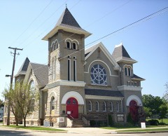
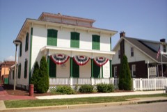
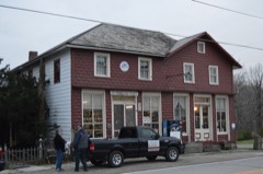
Listed on the National Register of Historic Places in
1974. A historic map-sheet match is not published yet. The record needs a coordinate-quality review before it can be joined to a sheet boundary.
From the record
one of 25 National Register listings in Crawford County · listed in 1974 · category: Building.
National Register reference number.74001427- the number the National Park Service assigned this property when it was listed, and the key its nomination file is catalogued under at the National Archives.
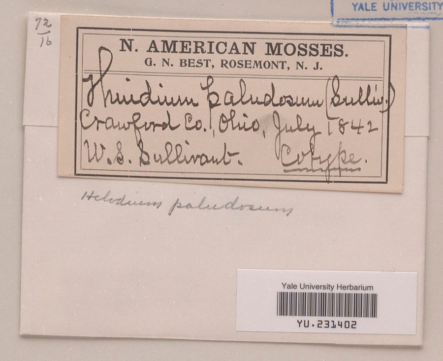
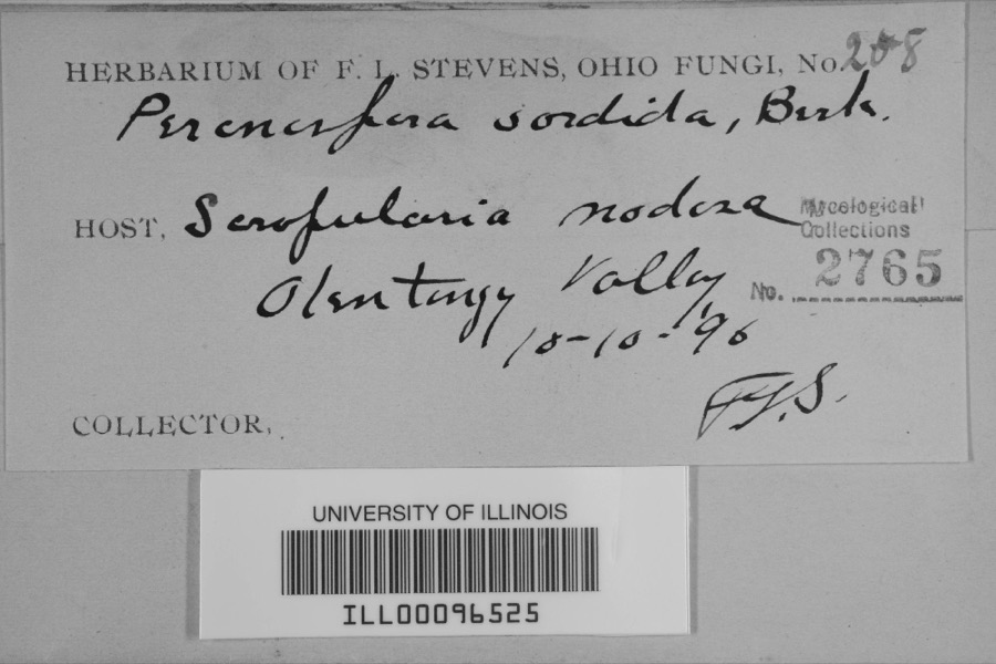
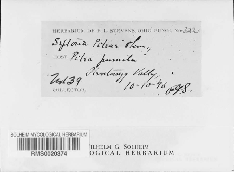
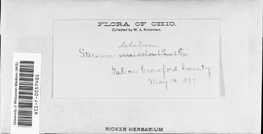
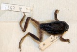
Specimens collected near this property
12 of 123 shown
Regional context, not property-specific
evidence. Museums hold 123 specimens
collected within 10 miles of Crestline City Hall between 1842 and
1973: 103 Animalia, 13 Plantae, 5 Fungi, 2 Chromista. 12 distinct Species records are shown.
Collected by Beal, L. E., Benjamin, J. R., Chase, H. (Hazel) and others. Each is a
physical object with a catalogue
number, and each entry opens the museum's record. This is what was
collected and kept, not a survey of what lives here - nothing can be
concluded from a species being absent.
Regional context, not property-specific
evidence. The federal mineral resources record lists
2 workings within 5 miles of Crestline City Hall: 2 past producers.
None of them still produces. What was taken out: Sand and Gravel, Construction. Distance is straight-line from the
map coordinates, so a quarry counted here may appear on a neighbouring
settlement's page as well.
Regional context, not property-specific
evidence. The National Weather Service names
Crestline, the town this property stands in, in 19 storm reports between 1994 and 2026: 10 hail, 8 thunderstorm wind, 1 flash flood.
The reports record 3 injuries. Each account below is quoted exactly as the forecast office
filed it, from the NOAA Storm Events Database, and each date
opens the federal record of that event.
Thunderstorm winds estimated to be in excess of 60 mph caused considerable damage in Crestline. A portion of a temporary stage collapsed at an outdoor festival. Two people were seriously injured with nine others sustaining minor injuries. The two seriously injured required extended hospitalization. Dozens of trees were downed. At least two homes and two cars were severely damaged by fallen trees.
Thunderstorms dumped over three inches of rain on southeastern Crawford County. Widespread street and lowland flooding occurred resulting in many roads being closed. Up to two feet of water was reported flowing over roads in Crestline.
1 paper published in this town,
digitised by the Library of Congress and free to read: 0 issues,
0 pages. Every page is searchable, so a name or a street can be
looked for directly in what the town printed about itself at the time.
No historic map-sheet match is published
for this property yet. That does not mean no map exists. This record needs
a coordinate-quality review before it can be joined to a sheet boundary.
Browse the county's mapped places while that work is
pending.
From the nomination file
2,856 words on record
When this property was proposed for the
National Register, someone wrote the case for it: what the building is,
and why it matters. That document is a federal record in the public domain.
It is quoted below word for word, never summarised. The text was read off the scanned case file by machine, so the
occasional stray character is the recogniser's and the 1970s
typewriter's.
Statement of significance
Crawford County, established in 1820, was named after Col. William army was forced to retreat, Col. Crawford was captured and burned at the stake by Indians on June 11, 1782. of the Ohio-Pennsylvania and the Ohio-Indiana railroads, the town The town was laid out by Rensellaer Livington. It was incorporated Kess, a local stone mason, did all of the stone work for the building. floor was used as a hall for local meetings, dances, plays, basketball, adequate. Plans are to demolish the City Hall. Conservation Commerce losophy Transportation Communications Engineering Architecture Military Music Aboriginal Science Theater Religion/Phi Street. Prehistoric itarian Literature and other town activities.
Sculpture Pre-Columbian Landscape Education Political Urban Planning Campaign against the Indians.He and his small army passed through saving and restoring this building.The museum and community center an annex and place exhibits again on the second floor, reserving the Crestline had continued prosperity until the trains were phased out. Invention Social/Human- and jail.It was an important center for the community.The second an urban development program has begun and has as part of its plan a uses would be excellent adaptive uses for it.
Quoted from the National Register nomination
for reference 74001427, 20 pages, held by the National Archives in Record
Group 79. See the
catalogue record.
Listed places nearby
6 within 8 miles
Other National Register properties close
enough to walk or drive between, ordered by distance from this one. Both
positions come from the same geocoding pass that matched these properties
to their map sheets.
Listing record. National Park Service National Register of Historic Places, listed-properties dataset, current to 2026-05-22.
Map join. Address geocoded through the United States Census geocoder, then tested against the published boundary of every sheet in the USGS Historical Topographic Map Collection.
How this page is made. Listing fields come from federal records; map-sheet coverage is a labelled coordinate-to-boundary calculation, not a source-field claim.
Specimens. Global Biodiversity Information Facility (GBIF), https://www.gbif.org/. Only records licensed CC0 or CC BY are used. Records licensed CC BY-NC are excluded because this site carries advertising. Images are checked individually and any whose licence is non-commercial, no-derivatives or unreadable is refused.
Mines and quarries. USGS Mineral Resources Data System (MRDS) https://mrdata.usgs.gov/mrds/ A work of the United States government, no copyright under 17 U.S.C. 105.
Storms. NOAA National Centers for Environmental Information, Storm Events Database https://www.ncei.noaa.gov/stormevents/ A work of the United States government, no copyright under 17 U.S.C. 105. Narratives are quoted verbatim from the National Weather Service report and are not edited or summarised.
 Block
Block