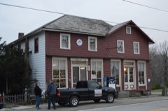
Listed on the National Register of Historic Places in
1978. A historic map-sheet match is not published yet. The record needs a coordinate-quality review before it can be joined to a sheet boundary.
From the record
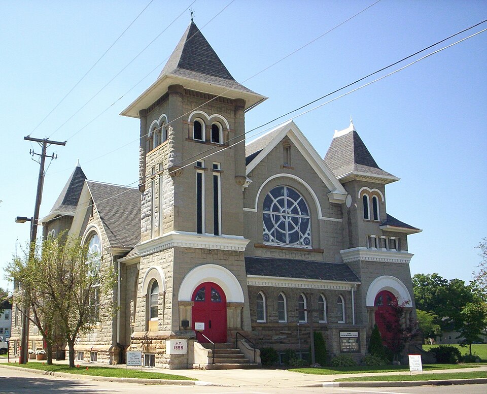
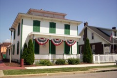
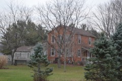
“The Methodist Episcopal Church built in 1890 is an historic Methodist church located at Thoman and Union streets, in Crestline, Ohio. It was built by Bauer, Minich and Emmer in the Romanesque style.”
Wikipedia article Methodist Episcopal Church (Crestline, Ohio), CC BY-SA 4.0.
one of 25 National Register listings in Crawford County · listed in 1978 · category: Building.
National Register reference number.78002031- the number the National Park Service assigned this property when it was listed, and the key its nomination file is catalogued under at the National Archives.
Specimens collected near this property
12 of 80 shown
Regional context, not property-specific
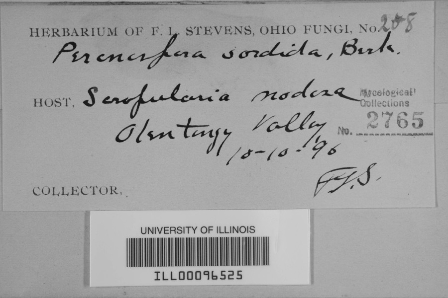
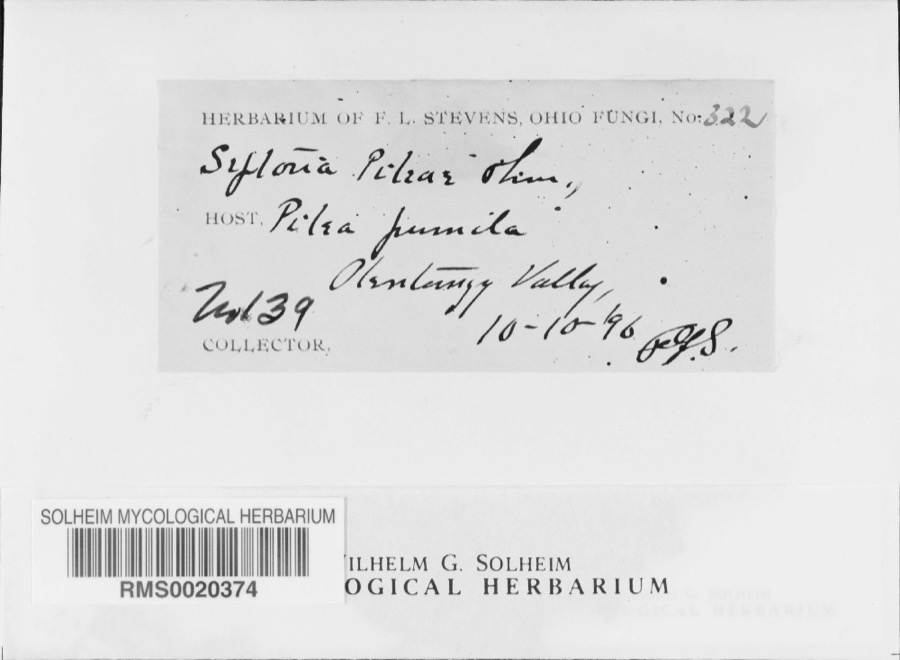
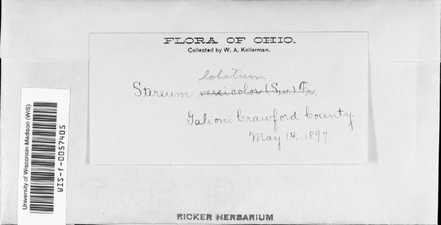
evidence. Museums hold 80 specimens
collected within 10 miles of Methodist Episcopal Church between 1896 and
1971: 66 Animalia, 7 Plantae, 5 Fungi, 2 Chromista. 12 distinct Species records are shown.
Collected by Chase, H. (Hazel), F. L. Stevens, F.L. Stevens and others. Each is a
physical object with a catalogue
number, and each entry opens the museum's record. This is what was
collected and kept, not a survey of what lives here - nothing can be
concluded from a species being absent.
Regional context, not property-specific
evidence. The federal mineral resources record lists
2 workings within 5 miles of Methodist Episcopal Church: 2 past producers.
None of them still produces. What was taken out: Sand and Gravel, Construction. Distance is straight-line from the
map coordinates, so a quarry counted here may appear on a neighbouring
settlement's page as well.
Regional context, not property-specific
evidence. The National Weather Service names
Crestline, the town this property stands in, in 19 storm reports between 1994 and 2026: 10 hail, 8 thunderstorm wind, 1 flash flood.
The reports record 3 injuries. Each account below is quoted exactly as the forecast office
filed it, from the NOAA Storm Events Database, and each date
opens the federal record of that event.
Thunderstorm winds estimated to be in excess of 60 mph caused considerable damage in Crestline. A portion of a temporary stage collapsed at an outdoor festival. Two people were seriously injured with nine others sustaining minor injuries. The two seriously injured required extended hospitalization. Dozens of trees were downed. At least two homes and two cars were severely damaged by fallen trees.
Thunderstorms dumped over three inches of rain on southeastern Crawford County. Widespread street and lowland flooding occurred resulting in many roads being closed. Up to two feet of water was reported flowing over roads in Crestline.
1 paper published in this town,
digitised by the Library of Congress and free to read: 0 issues,
0 pages. Every page is searchable, so a name or a street can be
looked for directly in what the town printed about itself at the time.
No historic map-sheet match is published
for this property yet. That does not mean no map exists. This record needs
a coordinate-quality review before it can be joined to a sheet boundary.
Browse the county's mapped places while that work is
pending.
Named in the fire insurance atlases
Sanborn surveyors printed an index of the
town's establishments at the front of each atlas. This property is named in
one, read straight off the scanned sheet.
When this property was proposed for the
National Register, someone wrote the case for it: what the building is,
and why it matters. That document is a federal record in the public domain.
It is quoted below word for word, never summarised. The text was read off the scanned case file by machine, so the
occasional stray character is the recogniser's and the 1970s
typewriter's.
Description of the property
that style. It is highly decorated and even whimsical in its ornamentation, with the with a gable roof, and a smaller gable-roofed block intersects at its midpoint. The derived pointed-arched openings, while the western (rear) portion has rectangular window Jecting beltcourse with a row of dentils, then a pair of tall, narrow rectangular window, showing children with their guardian angel, was donated by Ina Bell and Zoa The south entrance, pastor's office, and church school rooms surround the assembly The basement has been enlarged twice, the first time in 1913 when the basement CONDITION UNALTERED of smooth carved stone. the side walls finished in molded plaster in intricate designs of scrolls and swirls.
All the church's walls are composed of a rough-surfaced facing stone laid in CHECK ONE The southeastern tower is the tallest and most highly detailed.One of the two church's printed history. Oldfield.Six other stained glass windows --four in the sanctuary flanking the large ornamentation and wall texture giving great visual variety.
space.A balcony containing class rooms also surrounds the assembly space and overlooks the rear of the auditorium can be used to separate it from the assembly and educational Large stained glass leaded windows set within round arches dominate the north, the two-story block behind it are later additions; at least it is not recorded in the Romanesque Revival style of architecture, and it is locally significant as an example of windows and one in each of the front vestibules --are of geometrical designs.The eastern end of the church.
Thrush, in Richland County two miles northeast of what is now Crestline, decided to in 18h4; the Ladies Aid Society, organized about 1860 to help finance the expenses of The building committee for the church consisted of Rev. E.J. Booth, until he R.I. Raifsnyder; F.S. Hartman; and D.M. Peppard. 1500-1599 1600-1699 1400-1499 INVENTION ARCHEOLOGY-HISTORIC COMMUNICATIONS CONSERVATION LAW ENGINEERING ART SIGNIFICANCE ARCHEOLOGY-PREHISTORIC POLITICS/GOVERNMENT TRANSPORTATION PREHISTORIC AGRICULTURE PERIOD THEATER INDUSTRY MILITARY 1900- LITERATURE RELIGION SCULPTURE _EXPLORATION/SETTLEMENT regularly stationed at Crestline. SOCIAL/HUMANITARIAN _PHILOSOPHY Church organizations during these years included the Sunday school, organized it has been self-sustaining since that time.
roster of teachers in the public schools and other items which might be of interest The church is a beautiful stone and brick structure at the corner of Thoman and Union EDUCATION Methodism was first introduced into this area in l8l3; the church's history Additions including a bell tower and Sunday school rooms were made to this building about 1870. Street across from the city building; most of the labor was donated by members.
_1700-1799 Circuit Riders until l856 when Rev.James Morrow became the first minister to be XARCHITECTURE _COMMERCE as given by the Crestline Citizen-Democrat (now The Crestline Advocate) was as follows: to future generations." "The new Methodist Episcopal Church was dedicated September 10,1899.The account were soon held in the East school house at the corner of South Street and East Street the church; the Women's Foreign Missionary Society (1874)which contributed support a $5o annual payment from the General Mission Board of the Methodist Church until i863; The first Methodist church building was built in 1854-l855 on a lot on Thoman streets.It was erected at the cost of $15,600.00.At the morning service,$5,200.00 was transferred to Caledonia; Rev.
A.F.Upp, his successor; W.D.Cover; R.U.Miller; -MUSIC Known as the MeCulloch school house.
Quoted from the National Register nomination
for reference 78002031, 25 pages, held by the National Archives in Record
Group 79. See the
catalogue record.
Listed places nearby
6 within 8 miles
Other National Register properties close
enough to walk or drive between, ordered by distance from this one. Both
positions come from the same geocoding pass that matched these properties
to their map sheets.
Listing record. National Park Service National Register of Historic Places, listed-properties dataset, current to 2026-05-22.
Map join. Address geocoded through the United States Census geocoder, then tested against the published boundary of every sheet in the USGS Historical Topographic Map Collection.
How this page is made. Listing fields come from federal records; map-sheet coverage is a labelled coordinate-to-boundary calculation, not a source-field claim.
Specimens. Global Biodiversity Information Facility (GBIF), https://www.gbif.org/. Only records licensed CC0 or CC BY are used. Records licensed CC BY-NC are excluded because this site carries advertising. Images are checked individually and any whose licence is non-commercial, no-derivatives or unreadable is refused.
Mines and quarries. USGS Mineral Resources Data System (MRDS) https://mrdata.usgs.gov/mrds/ A work of the United States government, no copyright under 17 U.S.C. 105.
Storms. NOAA National Centers for Environmental Information, Storm Events Database https://www.ncei.noaa.gov/stormevents/ A work of the United States government, no copyright under 17 U.S.C. 105. Narratives are quoted verbatim from the National Weather Service report and are not edited or summarised.
 Block
Block