Listed on the National Register of Historic Places in
1974. A historic map-sheet match is not published yet. The record needs a coordinate-quality review before it can be joined to a sheet boundary.
From the record
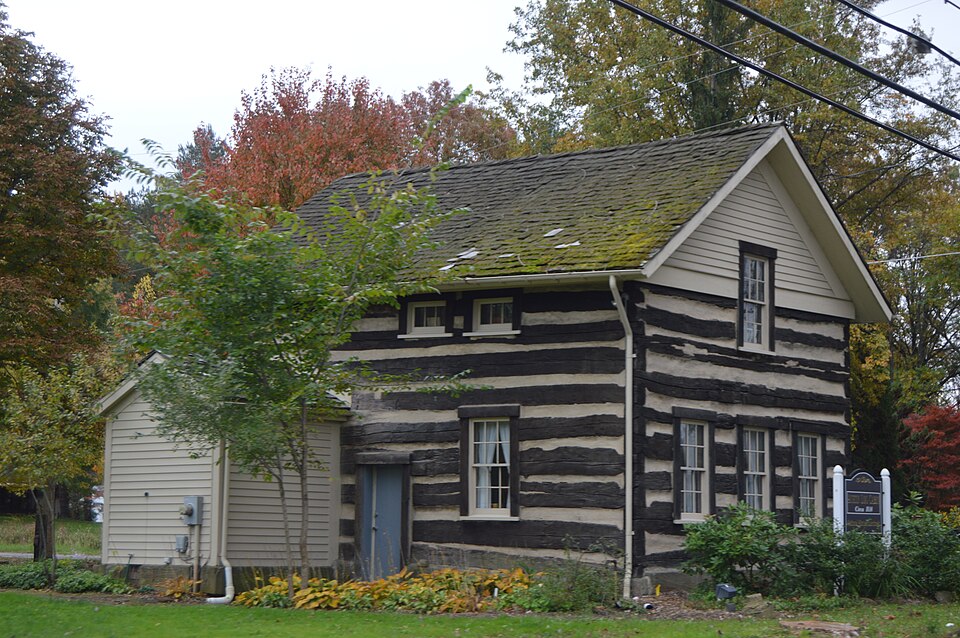
“Austintown Log House is a log cabin near Youngstown, Ohio, United States, listed on the National Register of Historic Places on July 30, 1974. It is managed by the Austintown Historical Society and commonly known as the "Austin Log Cabin".”
Wikipedia article Austintown Log House, CC BY-SA 4.0.
one of 59 National Register listings in Mahoning County · listed in 1974 · category: Building.
National Register reference number.74001566- the number the National Park Service assigned this property when it was listed, and the key its nomination file is catalogued under at the National Archives.
Fires near this property
1 since 2019
Regional context, not property-specific
evidence. The
federal wildfire occurrence database
lists 1 fire within 5 miles of Austintown Log House between
2019 and 2019, burning about 0 acres in total. None started naturally. None was recorded as arson.
Distance is straight-line from the map coordinates, so a fire counted
here may appear on a neighbouring settlement's page as well.
Reported cause
Fires
Recreation and ceremony
1
The most recent of
them, most recent first, with the day each was reported and the service
that recorded it.
Regional context, not property-specific
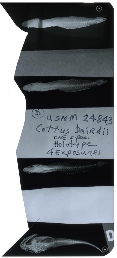
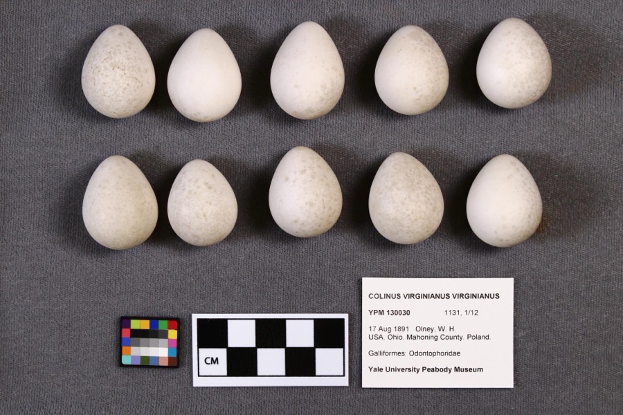
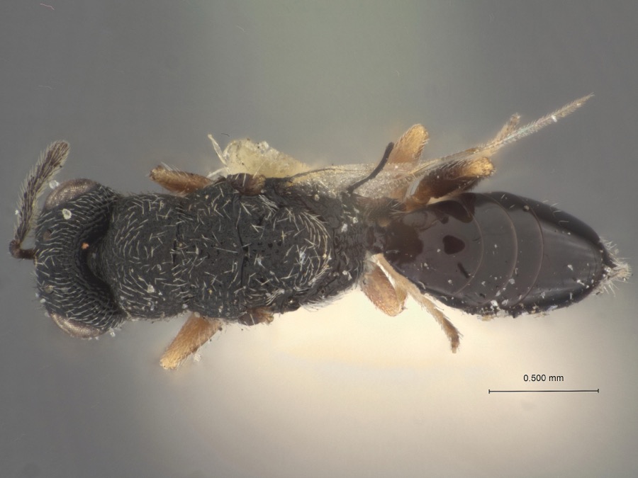
evidence. Museums hold 364 specimens
collected within 10 miles of Austintown Log House between 1853 and
1974: 279 Animalia, 79 Plantae, 5 Fungi, 1 Chromista. 12 distinct Species records are shown.
Collected by A.E. Daugherty, Armbruster, D. C. (Daniel C.), B Withers and others. Each is a
physical object with a catalogue
number, and each entry opens the museum's record. This is what was
collected and kept, not a survey of what lives here - nothing can be
concluded from a species being absent.
Regional context, not property-specific
evidence. The federal mineral resources record lists
2 workings within 5 miles of Austintown Log House: 2 producers.
All of them still produce. What was taken out: Iron, Aluminum. Distance is straight-line from the
map coordinates, so a quarry counted here may appear on a neighbouring
settlement's page as well.
Regional context, not property-specific
evidence. The National Weather Service names
Youngstown, the town this property stands in, in 44 storm reports between 1993 and 2015: 25 thunderstorm wind, 17 hail, 1 lightning, 1 tornado.
No death or injury is recorded in these reports. Each account below is quoted exactly as the forecast office
filed it, from the NOAA Storm Events Database, and each date
opens the federal record of that event.
A tornado touched down just southwest of the Mahoning River between Gibson and Poland Avenues on the northeast side of Youngstown. The tornado then skipped northeast for approximately eight miles before dissipating on the eastern edge of the city just south of the Trumbull County border. The damage path was 50 to 100 yards in width and was intermittent in nature. Ten businesses and around 80 homes were damaged by the tornado. One business was destroyed, and of the 80 homes, 60 had major damage. Two railroad cars were overturned and hundreds of trees were toppled along the damage path.
Thunderstorm winds caused some damage in the City of Youngstown. Four tents were toppled at a festival in the downtown area resulting in a few minor injuries. A church on Oakhill Avenue lost a large section of roofing. Many trees and large trees limbs were downed across the city as well.
Thunderstorm winds downed many trees. A building at Youngstown State University suffered damage when a 70 foot by 90 foot section of roof was peeled off. Awnings on two houses were also blown off.
Numerous reports of hail ranging from penny to quarter size were observed by trained spotters between Youngstown and Boardman. A trained spotter also estimated wind gusts around 65 mph in Boardman at 14:30 EST.
2 papers published in this town,
digitised by the Library of Congress and free to read: 0 issues,
0 pages. Every page is searchable, so a name or a street can be
looked for directly in what the town printed about itself at the time.
No historic map-sheet match is published
for this property yet. That does not mean no map exists. This record needs
a coordinate-quality review before it can be joined to a sheet boundary.
Browse the county's mapped places while that work is
pending.
From the nomination file
9,295 words on record
When this property was proposed for the
National Register, someone wrote the case for it: what the building is,
and why it matters. That document is a federal record in the public domain.
It is quoted below word for word, never summarised. The text was read off the scanned case file by machine, so the
occasional stray character is the recogniser's and the 1970s
typewriter's.
Description of the property
. 25 feet, located at the corner of a church property in what is One window on the south wall has been logs laid on top of one another and mortised at the corners. Most were put under the house sometime later than it was built. at the northeast corner. So far the location of the fireplace 974 still a relatively rural area. The construction consists of squared been on the west wall. PERIOD (Check One or More as Appropriate) - 20th Century SPECIFIC DATE(S) (If Applicable and Known) 1814 (?) - Prehistoric - Literature - Theater - Transportation STATEMENT OF
Statement of significance
which can be removed, it retains sufficient integrity to illum- Calvin Austin, a justice of the peace and owner of several to Abraham Dustman. removal of the remaining added material is projected in the APR 1 11974 Communications Conservation losophy Engineering Architecture Commerce SIGNIFICANCE Science Aboriginal near future. NATIONAL Education REGISTER itarian Agriculture Music Pre-Columbian Sculpture Invention Urban Planning Industry Landscape icant evidence of the early settlement of the Mahoning Valley, Religion/Phi- and as its alterations are mostly in the nature of additions inate the pattern of regional settlement. Indications are that a restoration which will accomplish the properties, who arrived in the Western Reserve in l800.
RECEIVED Social/Human- built before 18l4 and almost certainly before 1825.It is signif- Political who sold it in 1829 to Henry Lorins (also spelled Lorenz, Austin is believed to have built a number of cabins to sell Laurence or Lorentz) for $50.00.It was sold again in 1845 Military The land on which the house stands was originally ownedby Other (Specify) AREAS OF SIGNIFICANCE (Check One or More as Appropriate) This is a relatively uncommon two-story log house, probably Art to new settlers.In 18l8 he sold this land to John Packard,
Quoted from the National Register nomination
for reference 74001566, 50 pages, held by the National Archives in Record
Group 79. See the
catalogue record.
Listed places nearby
6 within 8 miles
Other National Register properties close
enough to walk or drive between, ordered by distance from this one. Both
positions come from the same geocoding pass that matched these properties
to their map sheets.
Listing record. National Park Service National Register of Historic Places, listed-properties dataset, current to 2026-05-22.
Map join. Address geocoded through the United States Census geocoder, then tested against the published boundary of every sheet in the USGS Historical Topographic Map Collection.
How this page is made. Listing fields come from federal records; map-sheet coverage is a labelled coordinate-to-boundary calculation, not a source-field claim.
Wildfire. Short, Karen C. 2022. Spatial wildfire occurrence data for the United States, 1992-2020 [FPA_FOD_20221014]. 6th Edition. Fort Collins, CO: Forest Service Research Data Archive. https://doi.org/10.2737/RDS-2013-0009.6 Collected with United States Government funding and usable without additional permissions or fees.
Specimens. Global Biodiversity Information Facility (GBIF), https://www.gbif.org/. Only records licensed CC0 or CC BY are used. Records licensed CC BY-NC are excluded because this site carries advertising. Images are checked individually and any whose licence is non-commercial, no-derivatives or unreadable is refused.
Mines and quarries. USGS Mineral Resources Data System (MRDS) https://mrdata.usgs.gov/mrds/ A work of the United States government, no copyright under 17 U.S.C. 105.
Storms. NOAA National Centers for Environmental Information, Storm Events Database https://www.ncei.noaa.gov/stormevents/ A work of the United States government, no copyright under 17 U.S.C. 105. Narratives are quoted verbatim from the National Weather Service report and are not edited or summarised.
 Block
Block