Built in 1851. Listed on the National Register of Historic Places in
1974. A historic map-sheet match is not published yet. The record needs a coordinate-quality review before it can be joined to a sheet boundary.
From the record
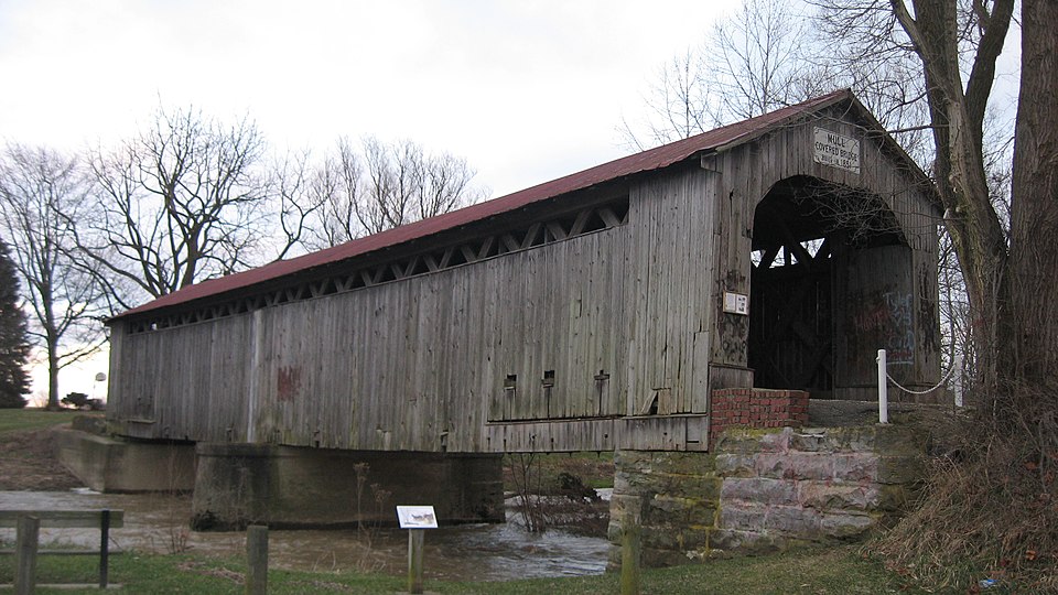
“The Mull Covered Bridge is a historic wooden covered bridge in the northwestern portion of the U.S. state of Ohio. Built in the middle of the nineteenth century, it is located near Burgoon in Sandusky County.”
Wikipedia article Mull Covered Bridge, CC BY-SA 4.0.
one of 9 National Register listings in Sandusky County · listed in 1974 · category: Structure · built in 1851.
National Register reference number.74001618- the number the National Park Service assigned this property when it was listed, and the key its nomination file is catalogued under at the National Archives.
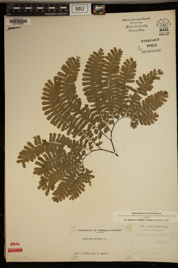
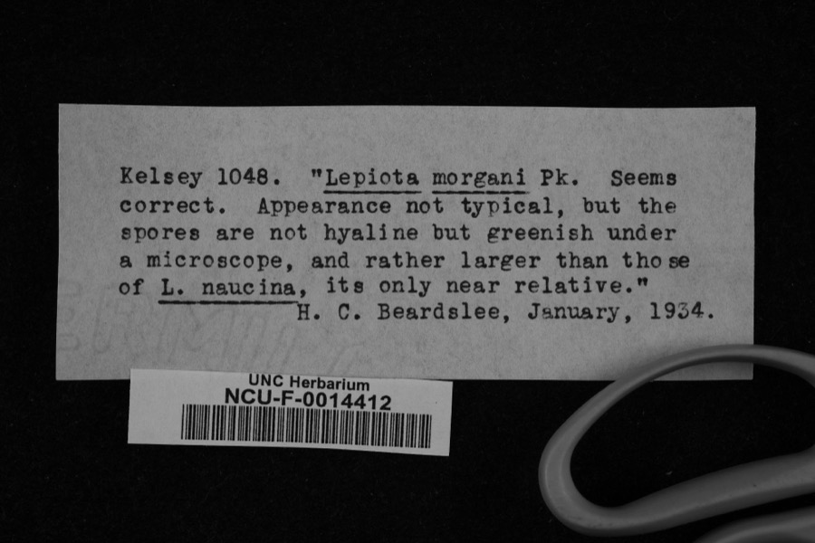
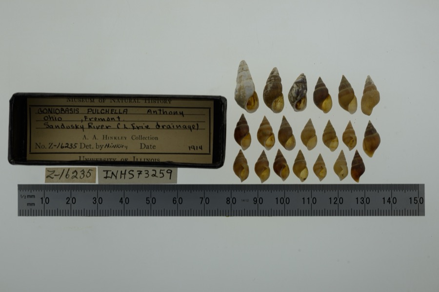
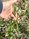
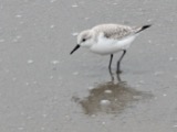
Specimens collected near this property
12 of 289 shown
Regional context, not property-specific
evidence. Museums hold 289 specimens
collected within 10 miles of Mull Covered Bridge between 1880 and
1975: 267 Animalia, 12 Fungi, 10 Plantae. 12 distinct Species records are shown.
Collected by Adams J. M. B., Adams J. M. R., Albertin and others. Each is a
physical object with a catalogue
number, and each entry opens the museum's record. This is what was
collected and kept, not a survey of what lives here - nothing can be
concluded from a species being absent.
Regional context, not property-specific
evidence. The National Weather Service names
Burgoon, the town this property stands in, in 2 storm reports between 1994 and 2009: 1 thunderstorm wind, 1 hail.
No death or injury is recorded in these reports. Each account below is quoted exactly as the forecast office
filed it, from the NOAA Storm Events Database, and each date
opens the federal record of that event.
No historic map-sheet match is published
for this property yet. That does not mean no map exists. This record needs
a coordinate-quality review before it can be joined to a sheet boundary.
Browse the county's mapped places while that work is
pending.
From the nomination file
1,161 words on record
When this property was proposed for the
National Register, someone wrote the case for it: what the building is,
and why it matters. That document is a federal record in the public domain.
It is quoted below word for word, never summarised. The text was read off the scanned case file by machine, so the
occasional stray character is the recogniser's and the 1970s
typewriter's.
Description of the property
The structure under consideration is a two-span wooden truss covered his book, Covered Bridges of the Northeast, Richard S. Allen describes New England States, most of the Southern States and the Mid-West.
Except for the addition of the center pier, the outward appearance of CONDITION Excellent REGISTER NATIONAL RECEIVED Ruins a sheet metal roof, straight portals and stone abutments.The concrete jacent to the bridge site and assembled and then the truss was jockeyed the Town Lattice truss as an uninterrupted series of crisscrossed Town truss.Pine or spruce plank was the usual material used in the The Mull Bridge is built on the Town Lattice truss plan patented in 1820 Town truss and holes were bored into the planks at every lattice inter- by Ithiel Town, an architect and builder of New Haven,Connecti cut.In The siding and portals are unpainted.
and lower chords.Wooden connecting pins called treenails or "trunnels# bridge spanning the east branch of Wolfe Creek in Ballville Township county road 9. This covered bridge has vertical, high-boarded siding, made of oak were soaked in oil and driven into these holes with a long- to pin it together.These lattice trusses were laid out in a field ad- pier is obviously a later addition. handled mallet called a Beetle (pronnunced "biddle").There were approxi- (Check One) Good JUL 3 0 1874 section 31, Sandusky County, Ohio. The bridge is just south off Ior both highway and railroad use.
to maintain the Mull Covered Bridge for historical purposes. Industry around has been provided for the convenience of tourists wishing to Invention only ll Town Lattice trusses left in Ohio. In l962,the county built a new bridge over Wolfe Creek and by-passed west quarter of the state.In addition, the Mull Bridge is one of Military covered bridges in Ohio and one of only 3 covered spans in the north- AREAs OF SIGNIFICANCE (Check One or More as Appropriate) ago.As it was built in 185l, the Mull Bridge is one of the oldest Political Landscape Century Art RECENED sioners formally gave the Sandusky County Historical Society the right bridge was formally dedicated as a memento of the past and the new Press, 1970, p. 31 and 33. 1957, p. 15, 16, and 26. Company, 1969, p. 171.
Fremont News, August 27, 1962, article on dedication of Mull Covered Bridge.
Quoted from the National Register nomination
for reference 74001618, 10 pages, held by the National Archives in Record
Group 79. See the
catalogue record.
Listed places nearby
5 within 8 miles
Other National Register properties close
enough to walk or drive between, ordered by distance from this one. Both
positions come from the same geocoding pass that matched these properties
to their map sheets.
Listing record. National Park Service National Register of Historic Places, listed-properties dataset, current to 2026-05-22.
Map join. Address geocoded through the United States Census geocoder, then tested against the published boundary of every sheet in the USGS Historical Topographic Map Collection.
How this page is made. Listing fields come from federal records; map-sheet coverage is a labelled coordinate-to-boundary calculation, not a source-field claim.
Specimens. Global Biodiversity Information Facility (GBIF), https://www.gbif.org/. Only records licensed CC0 or CC BY are used. Records licensed CC BY-NC are excluded because this site carries advertising. Images are checked individually and any whose licence is non-commercial, no-derivatives or unreadable is refused.
Storms. NOAA National Centers for Environmental Information, Storm Events Database https://www.ncei.noaa.gov/stormevents/ A work of the United States government, no copyright under 17 U.S.C. 105. Narratives are quoted verbatim from the National Weather Service report and are not edited or summarised.
 Block
Block