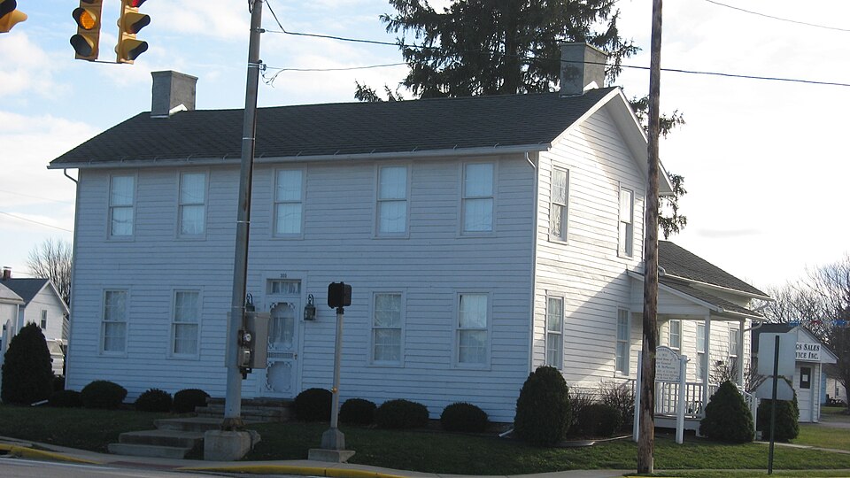
Listed on the National Register of Historic Places in
1974. A historic map-sheet match is not published yet. The record needs a coordinate-quality review before it can be joined to a sheet boundary.
From the record
one of 9 National Register listings in Sandusky County · listed in 1974 · category: Building.
National Register reference number.74001619- the number the National Park Service assigned this property when it was listed, and the key its nomination file is catalogued under at the National Archives.
Fires near this property
4 since 2002
Regional context, not property-specific
evidence. The
federal wildfire occurrence database
lists 4 fires within 5 miles of McPherson, Maj. Gen. James B., House between
2002 and 2002, burning about 2 acres in total. None started naturally. 2 were recorded as arson.
Distance is straight-line from the map coordinates, so a fire counted
here may appear on a neighbouring settlement's page as well.
Reported cause
Fires
Arson/incendiarism
2
Recreation and ceremony
2
The most recent of
them, most recent first, with the day each was reported and the service
that recorded it.
Regional context, not property-specific
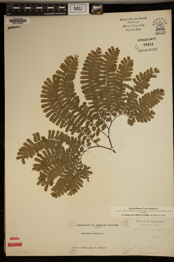
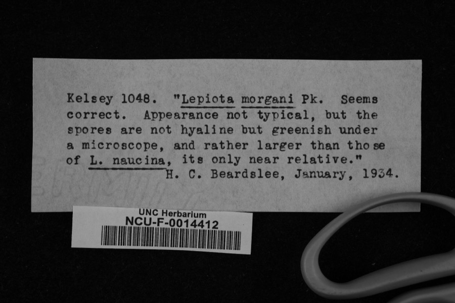
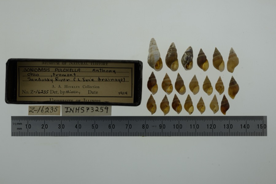
evidence. Museums hold 410 specimens
collected within 10 miles of McPherson, Maj. Gen. James B., House between 1880 and
1975: 336 Animalia, 54 Plantae, 20 Fungi. 12 distinct Species records are shown.
Collected by A. D. Selby, Adams J. M. B., Adams J. M. R. and others. Each is a
physical object with a catalogue
number, and each entry opens the museum's record. This is what was
collected and kept, not a survey of what lives here - nothing can be
concluded from a species being absent.
Regional context, not property-specific
evidence. The federal mineral resources record lists
2 workings within 5 miles of McPherson, Maj. Gen. James B., House: 2 past producers.
None of them still produces. What was taken out: Sand and Gravel, Construction. Distance is straight-line from the
map coordinates, so a quarry counted here may appear on a neighbouring
settlement's page as well.
Regional context, not property-specific
evidence. The National Weather Service names
Clyde, the town this property stands in, in 43 storm reports between 1995 and 2023: 27 thunderstorm wind, 16 hail.
No death or injury is recorded in these reports. Each account below is quoted exactly as the forecast office
filed it, from the NOAA Storm Events Database, and each date
opens the federal record of that event.
Thunderstorm downburst winds estimated at 60 mph caused damage at a commercial property north of Clyde. A small mobile home was blown off it's foundation. Glass in nearby windows was also broken.
No historic map-sheet match is published
for this property yet. That does not mean no map exists. This record needs
a coordinate-quality review before it can be joined to a sheet boundary.
Browse the county's mapped places while that work is
pending.
From the nomination file
3,456 words on record
When this property was proposed for the
National Register, someone wrote the case for it: what the building is,
and why it matters. That document is a federal record in the public domain.
It is quoted below word for word, never summarised. The text was read off the scanned case file by machine, so the
occasional stray character is the recogniser's and the 1970s
typewriter's.
Description of the property
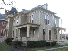
New England colonial house with a center hall. The hall, with its the rear measures approximately twenty-five feet square. large walnut staircase, separates two large front rooms each with a Another large room was used as a kitchen and dining room. The kitchen Gould was head carpenter.The two story frame dwelling measures approx- The exterior is sided with narrow weather-boarding.The addition at Good (north side) door is located in the center of the first floor.The PERIOD (Check One or More as Appropriate) X] 19th Century - Prehistoric - Other (Specify) - Transportation STATEMENT OF
Statement of significance
James Birdseye McPherson, the oldest of four, children, was born in a 1830-31, the McPherson home burned and the family moved into a frame When McPherson was thirteen years old, his father became ill and James went to Greenspring, about five miles south of Clyde, to work in a John M. Scofield and John B. Hood. McPherson taught at West Point for a year just after graduation. Then rapidly, becoming a lieutenant-colonel on November 21, 1861; colonel on going away to work at the age of thirteen, he returned many times to be Conservation orchard. Commerce Engineering losophy SIGNIFICANCE Architecture Aboriginal Science Communications Landscape Music Military Theater Agriculture Literature Pre-Columbian Religion/Phi.
itarian Education Sculpture Political Social/Human- Invention Industry there he was transferred to the staff of General Grant as chief engineer This house is the most important structure associated with McPherson's Urban Planning with his family during vacations and furloughs. was a vital figure in the siege of Vicksburg. preparation for entering West Point.He graduated from West Point in 1853, house opposite the site of their cabin where they stayed until the was buried across from his home in Clyde in what had been the family life.It was here that he was reared and it remained his only first in a class of fifty-two cadets among whom were Philip H.Sheridan, May 1,1862; and brigadeer-general of volunteers on May 15,1862.From present two-story frame house was built in 1831.
he spent six years working with the Army Engineers in New York and McPherson was ki1led at Atlanta in a fierce battle on July 22,1864.He SPECIFIC DATE(S) (If Applicable and Known) AREAS OF SIGNIFICANCE (Check One or More as Appropriate) 10g cabin in Clyde, Ohio, on November 14, 1848.
Quoted from the National Register nomination
for reference 74001619, 16 pages, held by the National Archives in Record
Group 79. See the
catalogue record.
Listed places nearby
3 within 8 miles
Other National Register properties close
enough to walk or drive between, ordered by distance from this one. Both
positions come from the same geocoding pass that matched these properties
to their map sheets.
Listing record. National Park Service National Register of Historic Places, listed-properties dataset, current to 2026-05-22.
Map join. Address geocoded through the United States Census geocoder, then tested against the published boundary of every sheet in the USGS Historical Topographic Map Collection.
How this page is made. Listing fields come from federal records; map-sheet coverage is a labelled coordinate-to-boundary calculation, not a source-field claim.
Wildfire. Short, Karen C. 2022. Spatial wildfire occurrence data for the United States, 1992-2020 [FPA_FOD_20221014]. 6th Edition. Fort Collins, CO: Forest Service Research Data Archive. https://doi.org/10.2737/RDS-2013-0009.6 Collected with United States Government funding and usable without additional permissions or fees.
Specimens. Global Biodiversity Information Facility (GBIF), https://www.gbif.org/. Only records licensed CC0 or CC BY are used. Records licensed CC BY-NC are excluded because this site carries advertising. Images are checked individually and any whose licence is non-commercial, no-derivatives or unreadable is refused.
Mines and quarries. USGS Mineral Resources Data System (MRDS) https://mrdata.usgs.gov/mrds/ A work of the United States government, no copyright under 17 U.S.C. 105.
Storms. NOAA National Centers for Environmental Information, Storm Events Database https://www.ncei.noaa.gov/stormevents/ A work of the United States government, no copyright under 17 U.S.C. 105. Narratives are quoted verbatim from the National Weather Service report and are not edited or summarised.
 Block
Block