BlockBefore
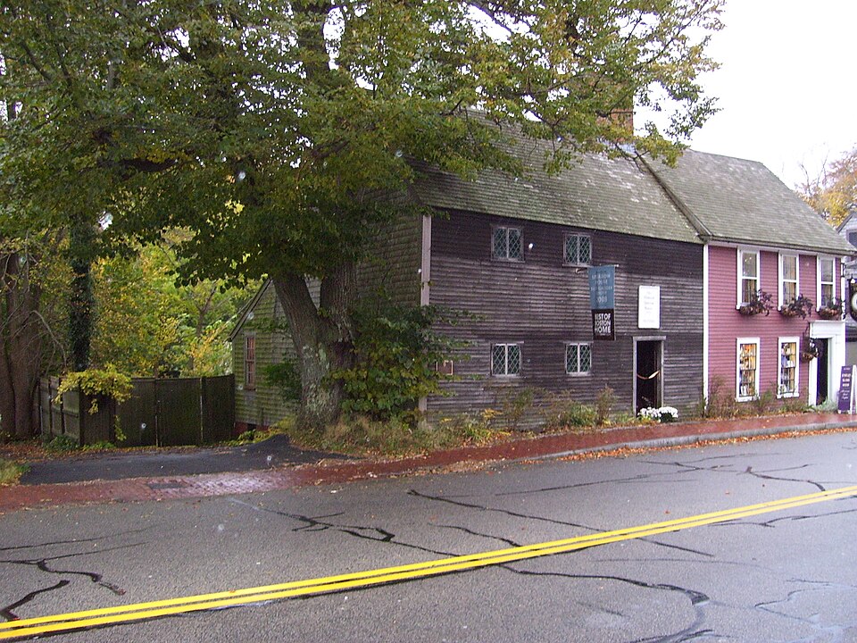
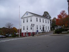
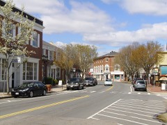
Photograph of Richard Sparrow House
Photograph by Swampyank at en.wikipedia, CC BY-SA 3.0. Via Wikimedia Commons.

Richard Sparrow House

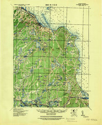
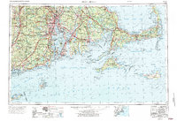
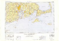
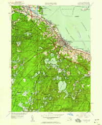
Listed on the National Register of Historic Places in 1974. 20 historic topographic surveys show this location, the earliest from 1886.

From the record

“The Richard Sparrow House is a historic house at 42 Summer Street in Plymouth, Massachusetts and the oldest surviving house in Plymouth.”

Wikipedia article Richard Sparrow House, CC BY-SA 4.0.

One of 138 National Register listings published here for Plymouth County · listed in 1974 · category: Building.

Sources: the Wikipedia article · the case file at the National Archives · the National Register database, National Park Service

The listing

  • What is counted as historic. The nomination lists 1 building as contributing to the listing.
  • Listed as. Sparrow, Richard, House - the National Register files a house under its owner's surname.
  • Address. 42 Summer St., Plymouth, 02360
  • When was it listed? 1974-10-09
  • Category. building
  • Town. Plymouth town
  • National Register reference number. 74002035 - the number the National Park Service assigned this property when it was listed, and the key its nomination file is catalogued under at the National Archives.

Then and now

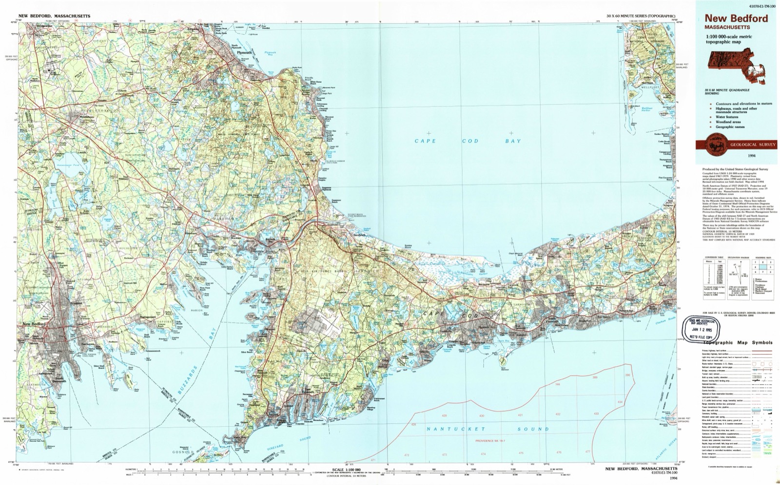
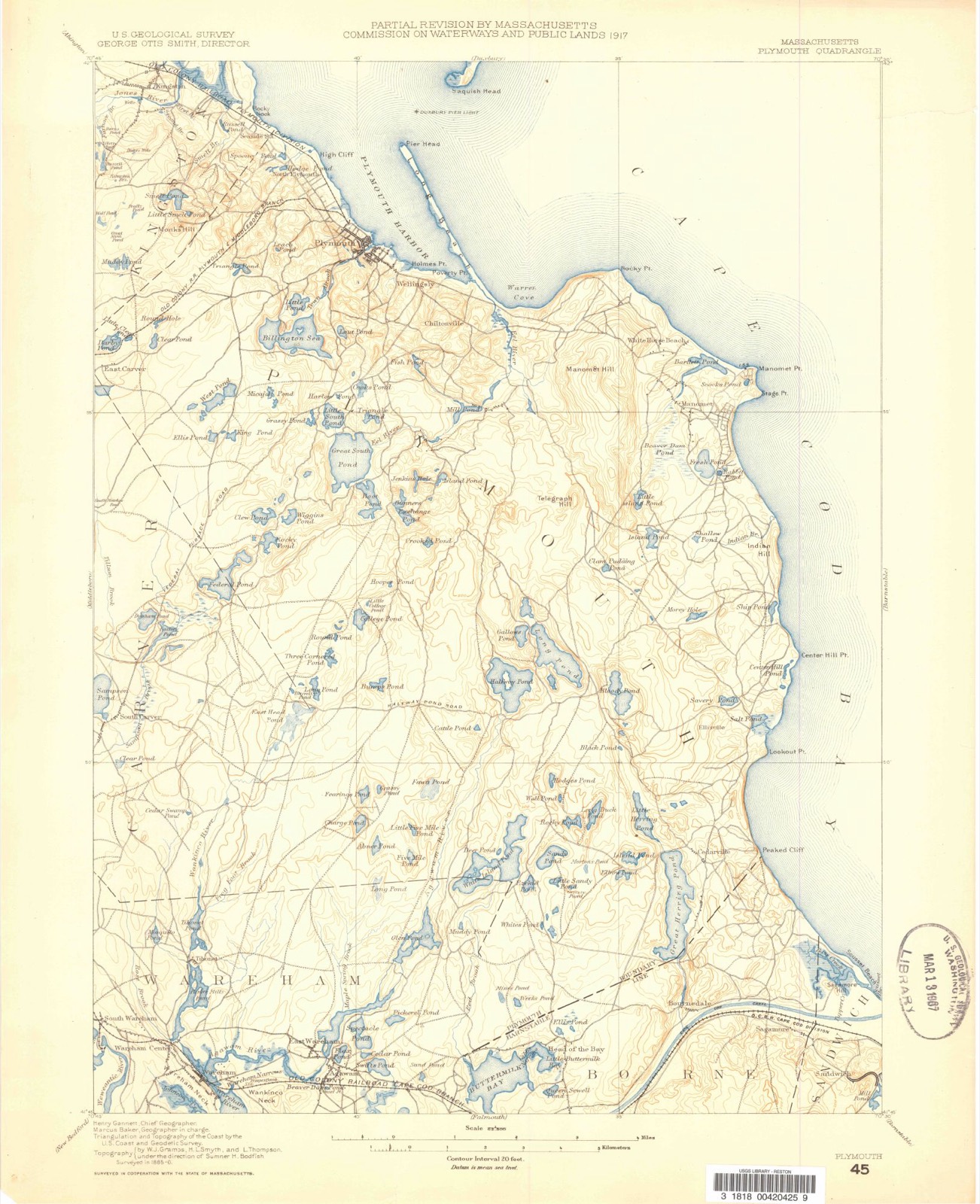
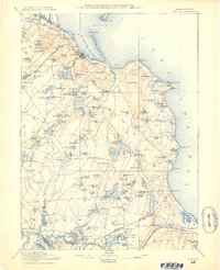
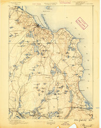
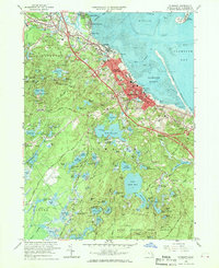
1886 to 1994

The ground this property stands on, surveyed 108 years apart. Drag the handle to wipe between them. Both sheets are United States Geological Survey originals; neither has been altered.

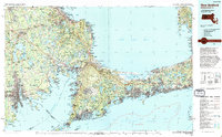
Topographic sheet covering Richard Sparrow House, surveyed 1994
Topographic sheet covering Richard Sparrow House, surveyed 1886

Fires near this property

307 since 2006

Regional context, not property-specific evidence. The federal wildfire occurrence database lists 307 fires within 5 miles of Richard Sparrow House between 2006 and 2020, burning about 92 acres in total. 3 started naturally. 4 were recorded as arson. Distance is straight-line from the map coordinates, so a fire counted here may appear on a neighbouring settlement's page as well.

Reported cause Fires
Debris and open burning205
Missing data/not specified/undetermined57
Misuse of fire by a minor28
Arson/incendiarism4
Recreation and ceremony4
Natural3
Smoking3
Fireworks1
Power generation/transmission/distribution1
Equipment and vehicle use1

The most recent of them, most recent first, with the day each was reported and the service that recorded it.

DateCause SizeReported by Name on the report
8 September 2015Debris and open burningunder an acreMassachusetts Bureau of Forest Fire ControlPLYMOUTH
7 September 2015Missing data/not specified/undeterminedunder an acreMassachusetts Bureau of Forest Fire ControlPLYMOUTH
6 September 2015Debris and open burningunder an acreMassachusetts Bureau of Forest Fire ControlPLYMOUTH
5 September 2017Debris and open burningunder an acreMassachusetts Bureau of Forest Fire Controlnot named
5 September 2016Debris and open burningunder an acreMassachusetts Bureau of Forest Fire ControlPLYMOUTH
28 September 2020Misuse of fire by a minor1.2 acresMassachusetts Bureau of Forest Fire ControlKINGS PLAIN FIRE
27 September 2015Missing data/not specified/undeterminedunder an acreMassachusetts Bureau of Forest Fire ControlKINGSTON
26 September 2020Debris and open burningunder an acreMassachusetts Bureau of Forest Fire Controlnot named

Every fire recorded in Plymouth County

Specimens collected near this property

12 of 2,442 shown

Regional context, not property-specific evidence. Museums hold 2,442 specimens collected within 10 miles of Richard Sparrow House between 1816 and 1975: 1,782 Animalia, 398 Plantae, 186 Fungi, 59 Chromista, 14 Protozoa, 3 Unrecorded. 12 distinct Species records are shown. Collected by -- Russell, A., A. C. Mathieson and others. Each is a physical object with a catalogue number, and each entry opens the museum's record. This is what was collected and kept, not a survey of what lives here - nothing can be concluded from a species being absent.

Image SpeciesYear Collected by Where, as recorded
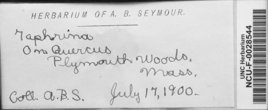
Specimen of Taphrina Fr., 1815Taphrina Fr., 18151900Seymour, Arthur BlissPlymouth Woods, Mass. [Massachusetts]
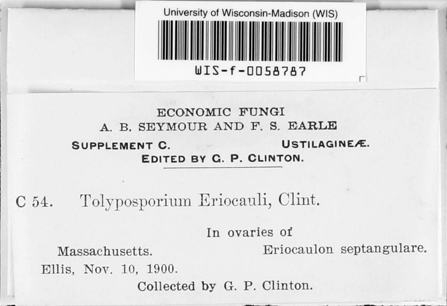
Specimen of Tolyposporium eriocauli G.P.ClintonTolyposporium eriocauli G.P.Clinton1900G.P. Clinton
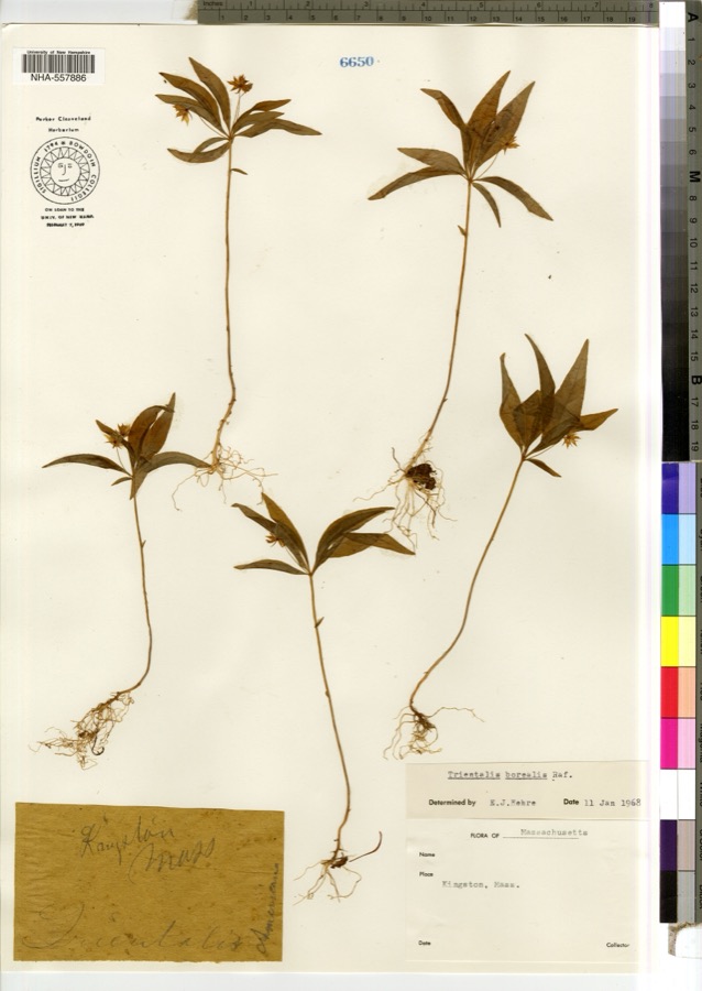
Specimen of Trientalis borealis Raf.Trientalis borealis Raf.1900not recorded
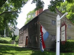
A photograph of the species Sparganium L., not of this specimenSparganium L.1816Boott, J.W.Plymouth, Mass.ts.
A photograph of the species Juncus greenei, not of this specimenJuncus greenei Oakes & Tuck.1825W. OakesPlymouth
A photograph of the species Baptisia tinctoria, not of this specimenBaptisia tinctoria (L.) R.Br.1837J. Blake
A photograph of the species Myriophyllum humile, not of this specimenMyriophyllum humile (Raf.) Morong1838W Oakes
A photograph of the species Utricularia cornuta, not of this specimenUtricularia cornuta Michx.1840not recordedPlymouth
Carex stellata Mack.1842Collector unspecified[Half May Pond], Plymouth.
A photograph of the species Pseudevernia consocians, not of this specimenPseudevernia consocians (Vainio) Hale & W.L.Culb.1849-- RussellKingston
A photograph of the species Amaranthus hybridus, not of this specimenAmaranthus hybridus L.1855not recorded
Phylloporus rhodoxanthus (Schwein.) Bres.1899Dr. Hallock
All 2,442 specimens within 10 miles, at the Global Biodiversity Information Facility.

Mines and quarries near this property

2 within 5 miles

Regional context, not property-specific evidence. The federal mineral resources record lists 2 workings within 5 miles of Richard Sparrow House: 1 past producer, 1 producer. 1 still produces. What was taken out: Sand and Gravel, Construction. Distance is straight-line from the map coordinates, so a quarry counted here may appear on a neighbouring settlement's page as well.

Where SiteCommodity StatusRecorded
Nevada Construction CoSand and Gravel, ConstructionPast ProducerSedimentary
Plymouth Pit & Plant Wethers IncSand and Gravel, ConstructionProducer

Every working recorded in Plymouth County

Storms near this property

43 since 1997

Regional context, not property-specific evidence. The National Weather Service names Plymouth, the town this property stands in, in 43 storm reports between 1997 and 2023: 13 hail, 10 thunderstorm wind, 7 heavy rain, 4 flood. The reports record 1 death. Each account below is quoted exactly as the forecast office filed it, from the NOAA Storm Events Database, and each date opens the federal record of that event.

WhenEvent Place namedHarm What the report says
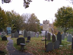
September 2010LightningPlymouth1 killedA 29 year old man was struck by lightning and killed while standing under a tree on Burial Hill in Plymouth.
October 2012Thunderstorm WindPlymouth$25,000Multiple trees were downed by thunderstorm winds.
August 2003Flash FloodPlymouth$25,000no account filed
August 2015Thunderstorm WindPlymouth$15,000Multiple trees were downed throughout Plymouth.
June 2008LightningPlymouth$15,000Lightning ignited a structure in Camp Squanto, a boy scout camp on the edge of Myles Standish State Forest.
August 2003Thunderstorm WindPlymouth$15,000no account filed
July 2012Thunderstorm WindPlymouth$10,000Wires on Court Street were downed by thunderstorm winds.
August 2003Flash FloodPlymouth$10,000no account filed
July 2016Thunderstorm WindPlymouth$5,000A tree on Westerly Road was downed onto wires by thunderstorm winds.
July 2016Thunderstorm WindPlymouth$5,000A tree was downed onto a house by thunderstorm winds.
July 2013Thunderstorm WindPlymouth$5,000A tree was downed by thunderstorm winds at the intersection of Derek Drive and Route 3A.
August 2008Thunderstorm WindPlymouth$5,000Trees and wires were downed by thunderstorm winds.
July 2005HailPlymouth$5,000no account filed
August 2022FloodPlymouth$4,000Police reported a road flooded, with water half-way up the doors of a car. Street unspecified. Report relayed by amateur radio. The public reported 2.07 of rain with this localized storm.
April 2017LightningPlymouth$2,000At 6:20 PM EST, a house on Christopher Road was struck by lightning.
August 2014LightningPlymouth$1,000Lightning struck a shed on Bettencourt Road, causing a fire.
August 2023FloodPlymouth-In Plymouth, a car was stuck in street flooding.
July 2021HailPlymouth-In Plymouth, dime size hail was reported via a video on social media.
July 2021HailPlymouth-In Plymouth, dime size hail was reported.
June 2019HailPlymouth-Amateur radio operators reported dime size hail in Plymouth.
October 2015FloodPlymouth-The Route 3 southbound exit ramp to Long Pond Road was flooded and impassable.
August 2014HailPlymouth-Penny to nickel size hail fell for 2-3 minutes.
February 2008FloodPlymouth-Bourne Road near Route 25 was flooded in Plymouth. In Hingham, the Accord Brook was out of its banks and flooding yards on Prospect Street.
June 2007Thunderstorm WindPlymouth-Amateur radio wind equipment measured a thunderstorm gust of 74 MPH.
October 2007Thunderstorm WindPlymouth-A tree downed by thunderstorm winds blocked a road in Plymouth.
August 1997Funnel CloudPlymouth-Southeast portions of Town of Plymouth.
August 1997WaterspoutPlymouth-1 mile east of Gurnet Light
July 2012HailPlymouth-no account filed
June 2008HailPlymouth-no account filed
August 2008HailPlymouth-no account filed
May 2004HailPlymouth-no account filed
August 2003HailPlymouth-no account filed
March 2001Heavy RainPlymouth-no account filed
March 2000Heavy RainPlymouth-no account filed
April 2000Heavy RainPlymouth-no account filed
February 1999Heavy RainPlymouth-no account filed
January 1999Heavy RainPlymouth-no account filed
July 1999HailPlymouth-no account filed
January 1999Heavy RainPlymouth-no account filed
September 1998Heavy RainPlymouth-no account filed
August 1997Tornado (F0)Plymouth-no account filed

Every storm recorded in Plymouth County

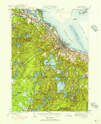
Maps showing this location

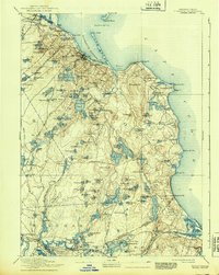
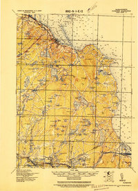
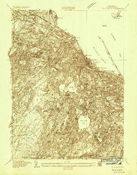
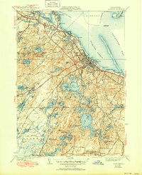
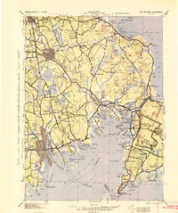
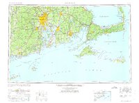
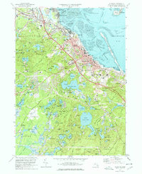
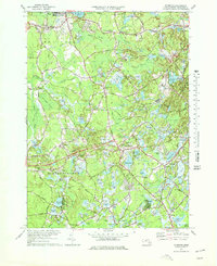
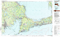
20 surveys

United States Geological Survey topographic sheets whose coverage includes this point. Matched by taking the coordinate the National Park Service records for this property, then testing that coordinate against the published boundary of every sheet.

Listed places nearby

6 within 8 miles

Other National Register properties close enough to walk or drive between, ordered by distance from this one. Both positions come from the same geocoding pass that matched these properties to their map sheets.

Photograph PropertyDistance Listed
First Parish Church of Plymouthunder 500 feet2014
Old County Courthouseunder 500 feet1972
Jabez Howland House0.1 miles1974
Plymouth Post Office Building0.1 miles1986
Old Burial Hill0.2 miles2013
Plymouth Village Historic District0.2 miles1982

Sources for this property

National Archives recordThe nomination case file for reference 74002035 in Record Group 79.
Wikipedia articleCommunity-written account of this property, licensed CC BY-SA.
Plymouth CountyAll 138 listed properties in this county.

Provenance

  • Listing record. National Park Service National Register of Historic Places, listed-properties dataset, current to 2026-05-22.
  • Map join. Address geocoded through the United States Census geocoder, then tested against the published boundary of every sheet in the USGS Historical Topographic Map Collection.
  • How this page is made. Listing fields come from federal records; map-sheet coverage is a labelled coordinate-to-boundary calculation, not a source-field claim.
  • Wildfire. Short, Karen C. 2022. Spatial wildfire occurrence data for the United States, 1992-2020 [FPA_FOD_20221014]. 6th Edition. Fort Collins, CO: Forest Service Research Data Archive. https://doi.org/10.2737/RDS-2013-0009.6 Collected with United States Government funding and usable without additional permissions or fees.
  • Specimens. Global Biodiversity Information Facility (GBIF), https://www.gbif.org/. Only records licensed CC0 or CC BY are used. Records licensed CC BY-NC are excluded because this site carries advertising. Images are checked individually and any whose licence is non-commercial, no-derivatives or unreadable is refused.
  • Mines and quarries. USGS Mineral Resources Data System (MRDS) https://mrdata.usgs.gov/mrds/ A work of the United States government, no copyright under 17 U.S.C. 105.
  • Storms. NOAA National Centers for Environmental Information, Storm Events Database https://www.ncei.noaa.gov/stormevents/ A work of the United States government, no copyright under 17 U.S.C. 105. Narratives are quoted verbatim from the National Weather Service report and are not edited or summarised.