Built in 2005 in the Renaissance Revival architecture. Listed on the National Register of Historic Places in
1975. A historic map-sheet match is not published yet. The record needs a coordinate-quality review before it can be joined to a sheet boundary.
From the record
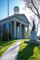
“Customshouse is a historic customs house and United States Coast Guard museum on Cobbs Hill in Barnstable, Massachusetts. Built in 1855 to a design by Ammi Young, it was used as a custom house and post office until 1913, continuing to house the post office and other offices until 1958.”
Wikipedia article United States Customshouse (Barnstable, Massachusetts), CC BY-SA 4.0.
one of 145 National Register listings in Barnstable County · listed in 1975 · category: Building · built in 2005, Renaissance Revival architecture, by Ammi B. Young.
National Register reference number.75000239- the number the National Park Service assigned this property when it was listed, and the key its nomination file is catalogued under at the National Archives.
Fires near this property
152 since 2003
Regional context, not property-specific
evidence. The
federal wildfire occurrence database
lists 152 fires within 5 miles of U.S. Customshouse between
2003 and 2020, burning about 51 acres in total. 6 started naturally. 10 were recorded as arson.
Distance is straight-line from the map coordinates, so a fire counted
here may appear on a neighbouring settlement's page as well.
Reported cause
Fires
Missing data/not specified/undetermined
77
Debris and open burning
43
Arson/incendiarism
10
Equipment and vehicle use
7
Natural
6
Recreation and ceremony
4
Smoking
4
Misuse of fire by a minor
1
The most recent of
them, most recent first, with the day each was reported and the service
that recorded it.
Regional context, not property-specific
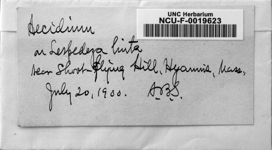
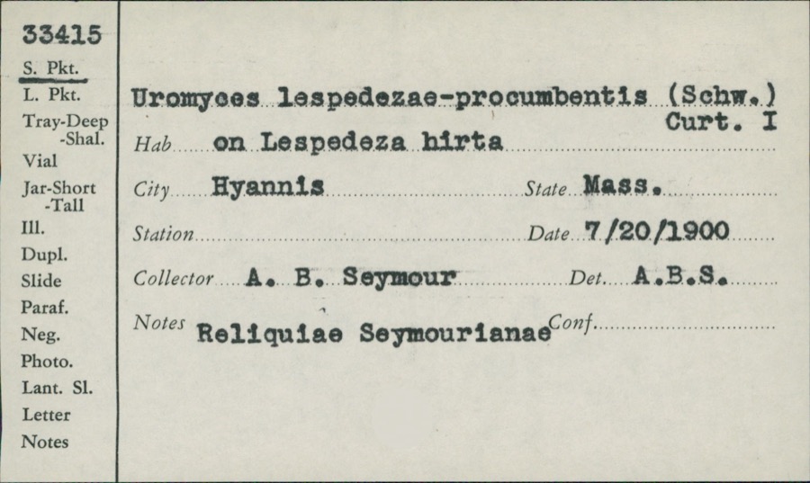
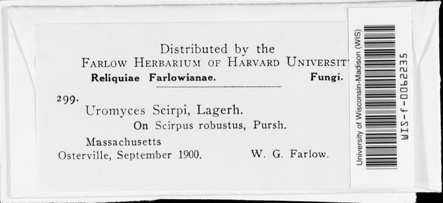
evidence. Museums hold 3,079 specimens
collected within 10 miles of U.S. Customshouse between 1866 and
1975: 2,153 Animalia, 664 Plantae, 139 Fungi, 113 Chromista, 8 Protozoa, 1 Bacteria, 1 Unrecorded. 12 distinct Species records are shown.
Collected by A. B. Seymour, A. R. Hodgdon, A. R. Hodgdon; E. J. Hehre and others. Each is a
physical object with a catalogue
number, and each entry opens the museum's record. This is what was
collected and kept, not a survey of what lives here - nothing can be
concluded from a species being absent.
Regional context, not property-specific
evidence. The federal mineral resources record lists
2 workings within 5 miles of U.S. Customshouse: 1 past producer, 1 producer.
1 still produces. What was taken out: Sand and Gravel, Construction. Distance is straight-line from the
map coordinates, so a quarry counted here may appear on a neighbouring
settlement's page as well.
Regional context, not property-specific
evidence. The National Weather Service names
Barnstable, the town this property stands in, in 14 storm reports between 1998 and 2023: 5 thunderstorm wind, 4 hail, 2 heavy rain, 2 flood.
No death or injury is recorded in these reports. Each account below is quoted exactly as the forecast office
filed it, from the NOAA Storm Events Database, and each date
opens the federal record of that event.
The Cape Cod Times reported a twenty five foot section of a retaining wall at Barnstable Harbor collapsed. Heavy rainfall throughout the day, combined with strong winds and heavy surf, all contributed to the collapse of the wooden structure.
At 117 PM EST, half of Cedar Street in West Barnstable was reported flooded and washed out. West Barnstable Emergency Management reported 4.74 inches of rain.
No historic map-sheet match is published
for this property yet. That does not mean no map exists. This record needs
a coordinate-quality review before it can be joined to a sheet boundary.
Browse the county's mapped places while that work is
pending.
From the nomination file
2,352 words on record
When this property was proposed for the
National Register, someone wrote the case for it: what the building is,
and why it matters. That document is a federal record in the public domain.
It is quoted below word for word, never summarised. The text was read off the scanned case file by machine, so the
occasional stray character is the recogniser's and the 1970s
typewriter's.
Description of the property
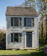
The United States Customs House (now the Trayser Museum) in Barnstable is located on Cobbs Hill at the eastern end of the village, facing north on Main Street (Route 6A). Across the street is the Unitarian Church, and beyond that, Barnstable Harbor. There are no other buildings immediately adjacent to the Customs House except for the Old Jail (on the National Register) which was moved to its present location beside the Customs House in 1973. of an acre with decorative iron fencing marking the back boundary. A small hip roofed carriage house with two large double doors is situated behind the Customs House. The Customs House, a 2 story hip roofed red brick building, rests on a high granite foundation.
A string course topped by a dentiled molding marks the division between the firstand second floor, and the cornice repeats this decorative detail with two rows of dentils and a string course below. The fenestration is regular and all the windows are identical, with 2/2/2 sash. The top lights in all the windows fit into a semi-circular opening which is in turn topped by a cast iron hood molding. There is a central doorway topped by a semi-circular arch identical to the window arches on either side of the door, in the facade and rear elevation. A cast iron balcony supported by elaborate brackets extends across the three second floor windows in the shallow pavilion of the facade. A flight of granite steps leads up to the facade entrance.
The original low pitched hip roof was of corrugated iron, and supported a balustrade between the five brick chimneys which served the interior fireplaces. When the steam heating system was installed four of the chimneys and the balustrade were removed.
DEMU1 BUILDER/ARCHITECT The Barnstable Customs House is significant not only for its architectural merit but also for its role in the shipping industry on Cape Cod in the nineteenth century. The architect of the building cannot definitively be named. Local sources claim that Alfred B. Mullett designed the building. However, this seems unlikely because Mullett was not connected with the Treasury Department when the Customs House was built in 1855. Ammi B. Young, Supervising Architect of the U.S. Treasury during the 1850's was most likely the architect because he was involved with the design of most of the customs houses and post offices built during that decade.
The large number of these buildings, reflecting the tremendous States in the mid-nineteenth century attest to Young's proficiency in his field. Many of these Federal buildings were designed in the rather heavy Italian style dos&gmnod ih the rathor ên hàn agit exhibited by the Barnstable Customs House. The Customs House, the first "fireproof" building ón Cape Cod,' and its style, massing, and materials were in marked contrast to the typical wood frame buildings which had traditionally been constructed in the area. The Seventh Customs District was established by an act of Congress in 1789, and encompassed all of Barnstable County except Falmouth. The district ranked fourth among the Massachusetts Customs Districts, following Boston, Salem, and New Bedford.
By 1850, 91,102 tons of shipping had been reported and the need for a n of shipin customs house was obvious. Prior to the construction of the Barnstable Customs House each Collector had been required to use his own place of business to collect the taxes. After the Civil War however, the shipping receipts in the Seventh Customs District gradually decreased until the District was made part of the Boston District in 1913.
Quoted from the National Register nomination
for reference 75000239, 11 pages, held by the National Archives in Record
Group 79. See the
catalogue record.
Listed places nearby
6 within 8 miles
Other National Register properties close
enough to walk or drive between, ordered by distance from this one. Both
positions come from the same geocoding pass that matched these properties
to their map sheets.
Listing record. National Park Service National Register of Historic Places, listed-properties dataset, current to 2026-05-22.
Map join. Address geocoded through the United States Census geocoder, then tested against the published boundary of every sheet in the USGS Historical Topographic Map Collection.
How this page is made. Listing fields come from federal records; map-sheet coverage is a labelled coordinate-to-boundary calculation, not a source-field claim.
Wildfire. Short, Karen C. 2022. Spatial wildfire occurrence data for the United States, 1992-2020 [FPA_FOD_20221014]. 6th Edition. Fort Collins, CO: Forest Service Research Data Archive. https://doi.org/10.2737/RDS-2013-0009.6 Collected with United States Government funding and usable without additional permissions or fees.
Specimens. Global Biodiversity Information Facility (GBIF), https://www.gbif.org/. Only records licensed CC0 or CC BY are used. Records licensed CC BY-NC are excluded because this site carries advertising. Images are checked individually and any whose licence is non-commercial, no-derivatives or unreadable is refused.
Mines and quarries. USGS Mineral Resources Data System (MRDS) https://mrdata.usgs.gov/mrds/ A work of the United States government, no copyright under 17 U.S.C. 105.
Storms. NOAA National Centers for Environmental Information, Storm Events Database https://www.ncei.noaa.gov/stormevents/ A work of the United States government, no copyright under 17 U.S.C. 105. Narratives are quoted verbatim from the National Weather Service report and are not edited or summarised.
 Block
Block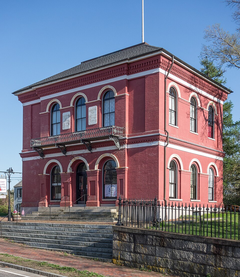






_002.jpeg)