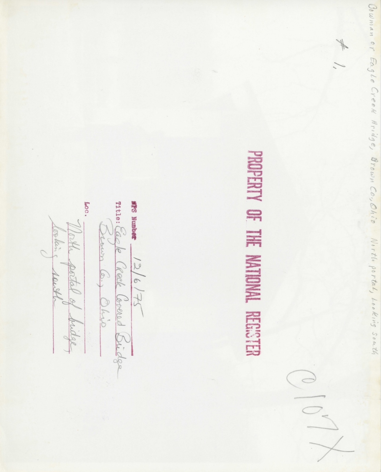
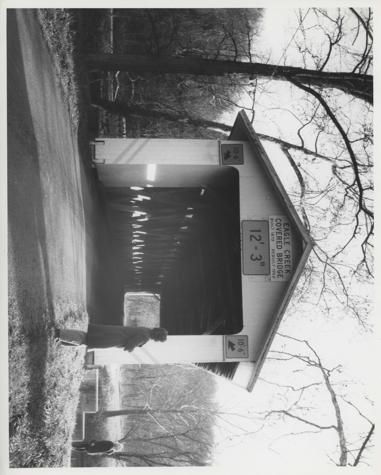
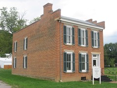
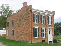
Photographs from the nomination case file, National Park Service records.
Eagle Creek Covered Bridge
Listed on the National Register of Historic Places in
1975. A historic map-sheet match is not published yet. The record needs a coordinate-quality review before it can be joined to a sheet boundary.
From the record
“The Eagle Creek Covered Bridge, in Byrd Township near Decatur, Ohio, was a historic Smith truss covered bridge built in 1875. Also known as the Bowman Bridge, it was listed on the National Register of Historic Places in 1975.”
Wikipedia article Eagle Creek Covered Bridge, CC BY-SA 4.0.
one of 21 National Register listings in Brown County · listed in 1975 · category: Structure · one of 3 National Historic Landmarks in Brown County.
National Register reference number.75001324- the number the National Park Service assigned this property when it was listed, and the key its nomination file is catalogued under at the National Archives.
Fires near this property
8 since 2003
Regional context, not property-specific
evidence. The
federal wildfire occurrence database
lists 8 fires within 5 miles of Eagle Creek Covered Bridge between
2003 and 2019, burning about 54 acres in total. None started naturally. None was recorded as arson.
Distance is straight-line from the map coordinates, so a fire counted
here may appear on a neighbouring settlement's page as well.
Reported cause
Fires
Debris and open burning
6
Missing data/not specified/undetermined
2
The most recent of
them, most recent first, with the day each was reported and the service
that recorded it.
Regional context, not property-specific
evidence. Museums hold 185 specimens
collected within 10 miles of Eagle Creek Covered Bridge between 1843 and
1974: 159 Animalia, 21 Fungi, 5 Plantae. 12 distinct Species records are shown.
Collected by A JOHN, ANSEL JOHN, Bartley, F. and others. Each is a
physical object with a catalogue
number, and each entry opens the museum's record. This is what was
collected and kept, not a survey of what lives here - nothing can be
concluded from a species being absent.
Regional context, not property-specific
evidence. The National Weather Service names
Decatur, the town this property stands in, in 3 storm reports between 1995 and 2017: 2 thunderstorm wind, 1 hail.
No death or injury is recorded in these reports. Each account below is quoted exactly as the forecast office
filed it, from the NOAA Storm Events Database, and each date
opens the federal record of that event.
No historic map-sheet match is published
for this property yet. That does not mean no map exists. This record needs
a coordinate-quality review before it can be joined to a sheet boundary.
Browse the county's mapped places while that work is
pending.
From the nomination file
2,317 words on record
When this property was proposed for the
National Register, someone wrote the case for it: what the building is,
and why it matters. That document is a federal record in the public domain.
It is quoted below word for word, never summarised. The text was read off the scanned case file by machine, so the
occasional stray character is the recogniser's and the 1970s
typewriter's.
Description of the property
struction variations. The Bowman Bridge is a 14 panel Smith, type 4 the overall width is 19'4" with a roadway width of 14'8". Each truss The Bowman Bridge is 172'6" overall with a clear span of 164'6"; The structure under consideration is a one-span wooden truss covered This covered bridge is known as the Bowman Bridge and is built on the bridge spanning Eagle Creek three miles south of Decatur in Byrd- has divided the Smith truss into 4 distinct types according to con- Fair Form No.
1D-300a, UNITED STATES DEPARTMENT OF THE INTERIOR FOR NPS USE ONLY NATIONAL PARK SERVICE NATIONAL REGISTER OF HISTORIC PLACES DEC 6 1975 INVENTORY -- NOMINATION FORM CONTINUATION SHEET PAGE Bowman B ridge DATE ENTERED The 1952 rebuilding job on the Bowman Covered Bridge consisted of all new floor Eagle Creek or ITEM NUMBER SEP 1 7 1975 beams, a completely new floor and all new siding. In 1963, a new roof and new RECEIVED PERIOD (Check One or More as Appropriate) - Pre-Columbian: - 15th Century SPECIFIC DATE(S) (If Applicable and Known) 1872 - Urban Planning Engineering - Other (Specify) STATEMENT OF
Statement of significance
In the late 1930's, there were about 95 covered bridges on the state AUG 1 9 1975 Conservation Commerce SIGNIFICANCE losophy REGISTER Architecture Communications RECEIVED Aboriginal Transportation Science Theater Landscape Art NATIONAL Music Agriculture Invention Prehistoric Literature Military struction sites where they were erected under company supervision and it spans scenic Eagle Creek whose fossiliferous limestone out- around Ohio and the neighboring states. Two of his associates later Smith truss bridges.The Ohio Smith trusses were usually pre-fabri- Bowman comes from the Bowman family who operated a small general store Social/Human- Education.
Industry Sculpture highway system in Ohio.Only the Bowman Bridge remains today.The moved to the West coast where they had the patent rights to build state takes very good care of its last covered span and the result is at the little crossroads community of Neel just to the north of the bridge.The bridge is also known as the Eagle Creek Bridge. an attractive bridge in a very scenic area. Religion/Phi. Political AREAS OF SIGNIFICANCE (Check One or More as Appropriate) cated in the company yards at Toledo and shipped by rail to the con- 1872 itarian using local labor.
The Bowman Bridge is the longest single span covered bridge in Ohio the low bids at letting after letting.Mr.Smith had agents scattered croppings make this a very beautiful and interesting area.The name great numbers in the 1870's with the Smith Bridge Company putting in The Bowman Bri dge is one of only l5 Smith trusses left here in Ohio, 1970, p- 21 to
Quoted from the National Register nomination
for reference 75001324, 19 pages, held by the National Archives in Record
Group 79. See the
catalogue record.
Listed places nearby
6 within 8 miles
Other National Register properties close
enough to walk or drive between, ordered by distance from this one. Both
positions come from the same geocoding pass that matched these properties
to their map sheets.
Listing record. National Park Service National Register of Historic Places, listed-properties dataset, current to 2026-05-22.
Map join. Address geocoded through the United States Census geocoder, then tested against the published boundary of every sheet in the USGS Historical Topographic Map Collection.
How this page is made. Listing fields come from federal records; map-sheet coverage is a labelled coordinate-to-boundary calculation, not a source-field claim.
Wildfire. Short, Karen C. 2022. Spatial wildfire occurrence data for the United States, 1992-2020 [FPA_FOD_20221014]. 6th Edition. Fort Collins, CO: Forest Service Research Data Archive. https://doi.org/10.2737/RDS-2013-0009.6 Collected with United States Government funding and usable without additional permissions or fees.
Specimens. Global Biodiversity Information Facility (GBIF), https://www.gbif.org/. Only records licensed CC0 or CC BY are used. Records licensed CC BY-NC are excluded because this site carries advertising. Images are checked individually and any whose licence is non-commercial, no-derivatives or unreadable is refused.
Storms. NOAA National Centers for Environmental Information, Storm Events Database https://www.ncei.noaa.gov/stormevents/ A work of the United States government, no copyright under 17 U.S.C. 105. Narratives are quoted verbatim from the National Weather Service report and are not edited or summarised.
 Block
Block