Listed on the National Register of Historic Places in
1975. A historic map-sheet match is not published yet. The record needs a coordinate-quality review before it can be joined to a sheet boundary.
From the record
one of 338 National Register listings in Cuyahoga County · listed in 1975 · category: Building · one of 3 National Historic Landmarks in Cuyahoga County.
National Register reference number.75001370- the number the National Park Service assigned this property when it was listed, and the key its nomination file is catalogued under at the National Archives.
Specimens collected near this property
12 of 1,062 shown
Regional context, not property-specific
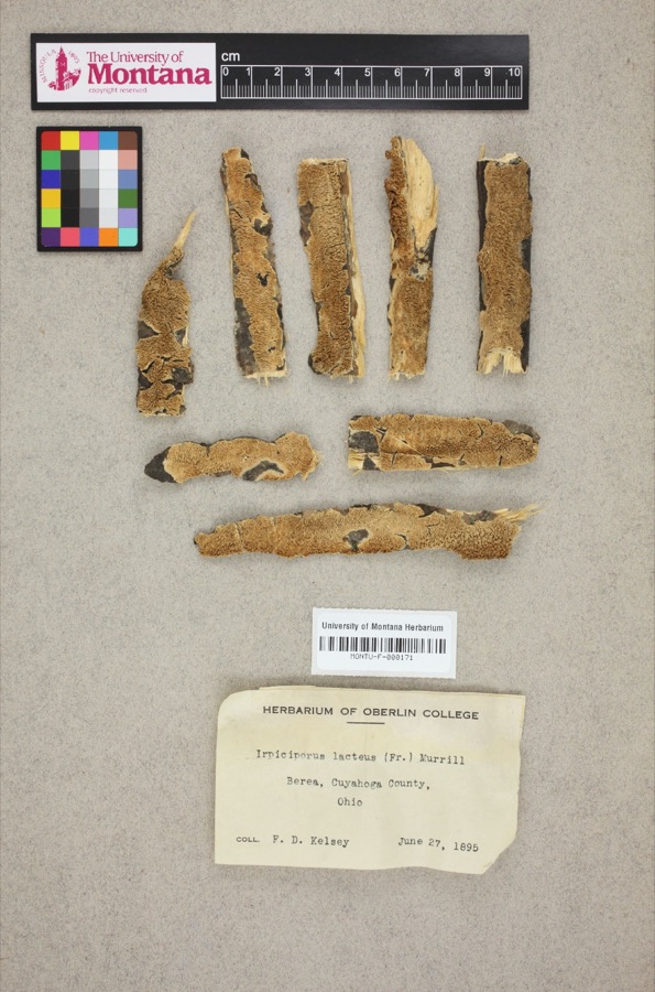
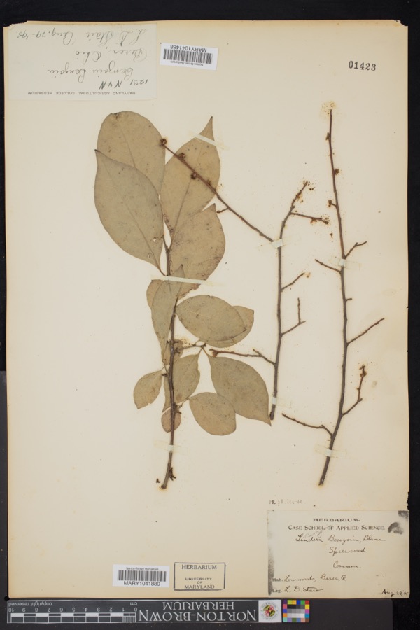
evidence. Museums hold 1,062 specimens
collected within 10 miles of Northrop, Julia Carter, House between 1849 and
1975: 973 Animalia, 56 Plantae, 28 Fungi, 4 Protozoa, 1 Unrecorded. 12 distinct Species records are shown.
Collected by A. D. Huryn, A. G. Newhall, A. Hall and others. Each is a
physical object with a catalogue
number, and each entry opens the museum's record. This is what was
collected and kept, not a survey of what lives here - nothing can be
concluded from a species being absent.
Regional context, not property-specific
evidence. The National Weather Service names
Olmsted Falls, the town this property stands in, in 10 storm reports between 2001 and 2013: 5 thunderstorm wind, 4 hail, 1 flash flood.
No death or injury is recorded in these reports. Each account below is quoted exactly as the forecast office
filed it, from the NOAA Storm Events Database, and each date
opens the federal record of that event.
Thunderstorms with efficient rainfall rates moved over Cuyahoga County. Doppler Radar estimated over two inches of rainfall withing 75 minutes fell over portions of the county. Olmsted Falls experienced widespread flooding as streams downtown overflowed their banks. Water several feet deep was reported over Cook Road in the northern portion of town.
No historic map-sheet match is published
for this property yet. That does not mean no map exists. This record needs
a coordinate-quality review before it can be joined to a sheet boundary.
Browse the county's mapped places while that work is
pending.
From the nomination file
1,770 words on record
When this property was proposed for the
National Register, someone wrote the case for it: what the building is,
and why it matters. That document is a federal record in the public domain.
It is quoted below word for word, never summarised. The text was read off the scanned case file by machine, so the
occasional stray character is the recogniser's and the 1970s
typewriter's.
Description of the property
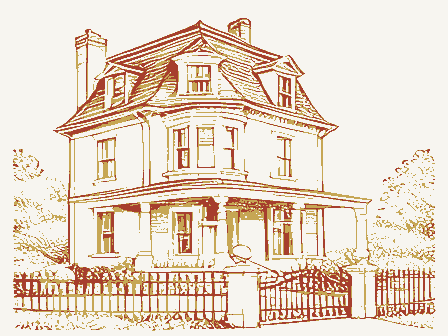
has the entrance to one side, a simple recessed Greek doorway with entrance into the dining room. The house has a hip roof, which is far The interior has undergone a number of alterations, but they At an unknown date, probably the late 1800s or early 1900s, a large interior is one of classical taste and comfortable living. Finally, CONDITION been raised with dormers whose low profile was specifically designed a transom and sidelights.The half-story windows are placed in the The second floor rooms have been much rearranged to provide a generous lawn and trees.
frieze on the east facade, but on the north elevation they have since This is a relatively modest but well preserved one-and-a-half smaller parlors, now thrown together.All of the door and window less common than the gable on Greek Revival houses in the region. no small part of the total charm of the house lies in its attractive opening was created between this room and the northwest dining room. have been done consciously in a manner to maintain the classical story frame house in the Greek Revival style. The three-bay facade spirit of the house. The original stair hall has an unusually steep north this contains a recessed porch with two posts, leading to an ent living room on the south side of the house was originally two to intrude as little as possible.
All of the windows have shutters and setting at the top of a gentle hill above the river, surrounded.by a bathroom, more light and ventilation dormers mentioned),and additional storage space.Nevertheless, the general feeling of the hardware which seem to be original.The main block has a one-story Its enclosed architrave is faced with classical molding.Along narrow slightly cramped in proportion.
stream, the topographical relief thus created, and to the fact that the 1870s. Unfortunately, there have been enough visits from the rop and Julia Carter, probably in 1842. It was built by Julia's in 1815. Thus Julia was the granddaughter of Lorenzo Carter, and 1842 Conservation SIGNIFICANCE Commerce Architecture losophy Aboriginal Communications Religion/Phi Settlement Landscape itarian Music Education Military Invention Agriculture so distinguished buildings which have the individual character to Theater 1875.As there are very few existing artifacts connected with the it experienced no important commercial or industrial growth after first permanent settler of Cleveland.
Sculpture after her marriage she lived in Olmsted Falls until her death in The house was built for the marriage of Dr.Charles W.North- Carter family, this house assumes a special importance. qualify as an architectural district. However, there are a dozen or of Greek Revival house in the town in which it is located. It is Social/Human- itinerant shingle and aluminum salesmen, and enough twentieth Industry century.village.This is due to its location on a wooded falling history of the Ohio Western Reserve, that of Lorenzo Carter, the father Alonzo Carter.Alonzo was the son of Lorenzo Carter, the of the first officials of the newly incorporated village of Cleveland also associated with one of the most important family names in the represent the heyday of the village, and this is one of them.
Quoted from the National Register nomination
for reference 75001370, 12 pages, held by the National Archives in Record
Group 79. See the
catalogue record.
Listed places nearby
6 within 8 miles
Other National Register properties close
enough to walk or drive between, ordered by distance from this one. Both
positions come from the same geocoding pass that matched these properties
to their map sheets.
Listing record. National Park Service National Register of Historic Places, listed-properties dataset, current to 2026-05-22.
Map join. Address geocoded through the United States Census geocoder, then tested against the published boundary of every sheet in the USGS Historical Topographic Map Collection.
How this page is made. Listing fields come from federal records; map-sheet coverage is a labelled coordinate-to-boundary calculation, not a source-field claim.
Specimens. Global Biodiversity Information Facility (GBIF), https://www.gbif.org/. Only records licensed CC0 or CC BY are used. Records licensed CC BY-NC are excluded because this site carries advertising. Images are checked individually and any whose licence is non-commercial, no-derivatives or unreadable is refused.
Storms. NOAA National Centers for Environmental Information, Storm Events Database https://www.ncei.noaa.gov/stormevents/ A work of the United States government, no copyright under 17 U.S.C. 105. Narratives are quoted verbatim from the National Weather Service report and are not edited or summarised.
 Block
Block