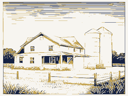
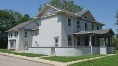
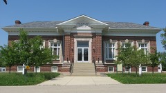
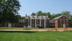
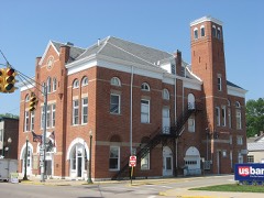
Listed on the National Register of Historic Places in
1975. A historic map-sheet match is not published yet. The record needs a coordinate-quality review before it can be joined to a sheet boundary.
From the record
“The Dean Family Farm, listed since 1975 as a historic site on the National Register of Historic Places, has its origins with the immigration of Daniel Dean, a native of Tobermore, County Londonderry, Ireland, to Philadelphia, Pennsylvania, in 1784 when he was aged 18, according to Dean family histories. Daniel was a son of George Roger Dean, who fought in the Colonial line, and Mary Campbell who was reared with her sister by the Duke of Argyl at Inveraray Scotland, the clan Campbells' ancestral home.”
Wikipedia article Dean Family Farm, CC BY-SA 4.0.
one of 30 National Register listings in Greene County · listed in 1975 · category: Building · one of 1 National Historic Landmarks in Greene County.
National Register reference number.75001409- the number the National Park Service assigned this property when it was listed, and the key its nomination file is catalogued under at the National Archives.
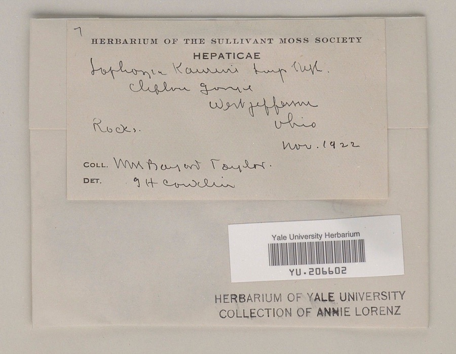
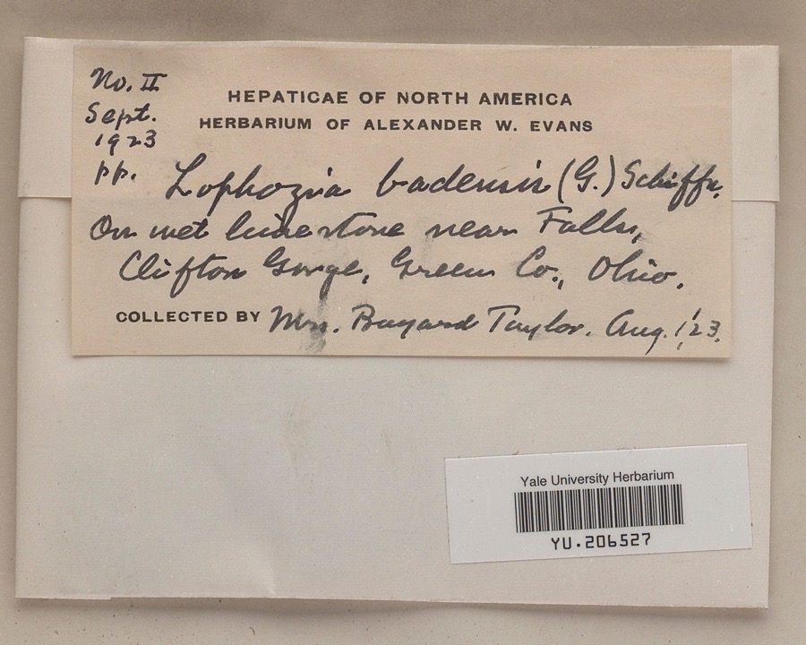
Specimens collected near this property
12 of 913 shown
Regional context, not property-specific
evidence. Museums hold 913 specimens
collected within 10 miles of Dean Family Farm between 1870 and
1975: 653 Animalia, 142 Plantae, 116 Fungi, 1 Protozoa, 1 Unrecorded. 12 distinct Species records are shown.
Collected by ?, A JOHN, A. H. Bauer and others. Each is a
physical object with a catalogue
number, and each entry opens the museum's record. This is what was
collected and kept, not a survey of what lives here - nothing can be
concluded from a species being absent.
Regional context, not property-specific
evidence. The federal mineral resources record lists
2 workings within 5 miles of Dean Family Farm: 1 past producer, 1 plant.
1 still produces. What was taken out: Limestone, General, Stone, Crushed/Broken. Distance is straight-line from the
map coordinates, so a quarry counted here may appear on a neighbouring
settlement's page as well.
Regional context, not property-specific
evidence. The National Weather Service names
Jamestown, the town this property stands in, in 25 storm reports between 1994 and 2026: 10 hail, 10 thunderstorm wind, 3 flood, 2 tornado.
No death or injury is recorded in these reports. Each account below is quoted exactly as the forecast office
filed it, from the NOAA Storm Events Database, and each date
opens the federal record of that event.
The beginning of this tornado is believed to have occurred along South Charleston Road where homes on both sides of the road had multiple large hardwood trees snapped. One residence also had a shed completely destroyed and metal from the shed was blown into the field.||On the next road east across the field, on Rogers Road, the most significant damage from the tornado was observed. The second story of one home had much of its roof removed and had multiple interior walls collapsed. Tree damage was also significant at this property as well as at nearby residences on Rogers Road.||Further east, at a property along Watkins Road, a roof was ripped off of a barn, with a shed completely destroyed. A bit further to the east, along Sheley Road, a home and garage had siding removed. Several hardwood trees were snapped in this area as well. A barn roof was also removed south of the intersection of Sheley and Rogers Road. Windows were also blown out at another property along Sheley Road. No further damage was observed to the east of Sheley Road.
No historic map-sheet match is published
for this property yet. That does not mean no map exists. This record needs
a coordinate-quality review before it can be joined to a sheet boundary.
Browse the county's mapped places while that work is
pending.
From the nomination file
6,744 words on record
When this property was proposed for the
National Register, someone wrote the case for it: what the building is,
and why it matters. That document is a federal record in the public domain.
It is quoted below word for word, never summarised. The text was read off the scanned case file by machine, so the
occasional stray character is the recogniser's and the 1970s
typewriter's.
Description of the property
Federal style. A one-story, two-bay wing published in 1874. The stone foundation (49'x61') is with trunnels, some split log joist and split pole rafters. CONDITION Unexposed Moved INTEGRITY Ruins DESCRIPTION Excellent The nineteenth century barn in excellent condition The sides are seven course American bond interrupted house is completely restorable into a magnificent and very The interior is excitingly preserved in some features A rear wing of slightly later construction added a second corbelled cap. the door having three tiers of molded paneling in the Adams appears in Everts' Combined Atlas Map of Greene County roof is sheathed in sheet metal having a boxed cornice with double hung sash with smooth stone lintels and sills.
The original house now the front part is central hall wooden hinges and all of the floor joists are log.A spring closed and the excellent Federal style mantel is removed but situated in aside hill giving direct access to both floor particularly in the old part of the house of which some rooms story to the original wing plus a two bay extension to the projected to the rear. livable early Ohio farmhouse. central doorway is a plain rectangle with three light transom has four bays two of which are doors and one of which was (Check One) Iormerly a door. framedlouvered vents. The main door on the west side is a stair having square tapered balusters, a cherry rail and decorated brackets. The rectangular doors are board and batten well joined.
The chimney breast protrudes and rails so that restoration could be made. In short, the old steps. style. The gable levels. The mantels in Good The house has a rough cut stone foundation with stone block The single stack chimneys are interior end with all around are boxed cornice with sloping soffit.
(Include Personages, Dates, Events, Etc.) through Pennsylvania, Maryland, and Virginia, settling in family moved to Ohio around 1812 and built a log cabin, The land, 1333½ acres, was formally purchased on January 22, victim of a land fraud perpetrated by a James Coleman. owner, James Galloway, for almost four dollars an acre in to well over 1800 acres before his death in 1843. The indicate that 1833 may be the date of the addition. style detail was surely built a decade earlier. (U.S. 35) to be constructed between them.
Conservation Communications Architecture Commerce Engineering 1815-1833 losophy Science Religion/Phi- Landscape Aboriginal Military Theater Prehistoric Agriculture Transportation Literature Pre-Columbian Music Social/Human- Political itarian Invention Industry Art REGISTER Urban Planning Sculpture Federal style house with its rustic construction and Adams This Federal style farm isa significant relic of Greene county's early settlement that remains in the hands of Scotch-Irish descent at Tubermore County, Londonderry: 16th Century The environs of this unusual early Ohio farm setting The exact date of the construction of the house has not of the original pioneer family. Other (Specify) Education eighth generation of Deans are living on the farm today.
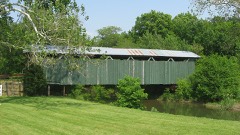
then a stone house to the west of the present farm site. Greene County pioneer farmer Daniel Dean was born Kentucky about 1789 where he married Jeannette Steele and to the Ballard Covered Bridge a separate, started his large family. Strongly opposed to slavery the had to repurchase 1096 acres of his land from the legal been precisely determined. The family modestly claim Below NATIONAL RECEIVED A close examination of the structure would the house is a broad pastoral creek bottom extending Ireland.Daniel emigrated in 1784 at age eighteen drifting the 1874 County Atlas for its picturesque character. Illinois; S. J. Clarke Publishing Company, 1902. L. H.
Quoted from the National Register nomination
for reference 75001409, 54 pages, held by the National Archives in Record
Group 79. See the
catalogue record.
Listed places nearby
6 within 8 miles
Other National Register properties close
enough to walk or drive between, ordered by distance from this one. Both
positions come from the same geocoding pass that matched these properties
to their map sheets.
Listing record. National Park Service National Register of Historic Places, listed-properties dataset, current to 2026-05-22.
Map join. Address geocoded through the United States Census geocoder, then tested against the published boundary of every sheet in the USGS Historical Topographic Map Collection.
How this page is made. Listing fields come from federal records; map-sheet coverage is a labelled coordinate-to-boundary calculation, not a source-field claim.
Specimens. Global Biodiversity Information Facility (GBIF), https://www.gbif.org/. Only records licensed CC0 or CC BY are used. Records licensed CC BY-NC are excluded because this site carries advertising. Images are checked individually and any whose licence is non-commercial, no-derivatives or unreadable is refused.
Mines and quarries. USGS Mineral Resources Data System (MRDS) https://mrdata.usgs.gov/mrds/ A work of the United States government, no copyright under 17 U.S.C. 105.
Storms. NOAA National Centers for Environmental Information, Storm Events Database https://www.ncei.noaa.gov/stormevents/ A work of the United States government, no copyright under 17 U.S.C. 105. Narratives are quoted verbatim from the National Weather Service report and are not edited or summarised.
 Block
Block