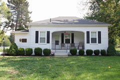
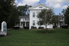
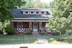
Listed on the National Register of Historic Places in
1975. A historic map-sheet match is not published yet. The record needs a coordinate-quality review before it can be joined to a sheet boundary.
From the record
one of 75 National Register listings in Lake County · listed in 1975 · category: Building · one of 2 National Historic Landmarks in Lake County.
National Register reference number.75001452- the number the National Park Service assigned this property when it was listed, and the key its nomination file is catalogued under at the National Archives.
Fires near this property
1 since 2003
Regional context, not property-specific
evidence. The
federal wildfire occurrence database
lists 1 fire within 5 miles of Gray-Coulton House between
2003 and 2003, burning about 400 acres in total. None started naturally. None was recorded as arson.
Distance is straight-line from the map coordinates, so a fire counted
here may appear on a neighbouring settlement's page as well.
Reported cause
Fires
Missing data/not specified/undetermined
1
The most recent of
them, most recent first, with the day each was reported and the service
that recorded it.
Regional context, not property-specific
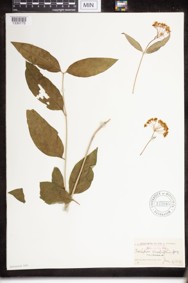
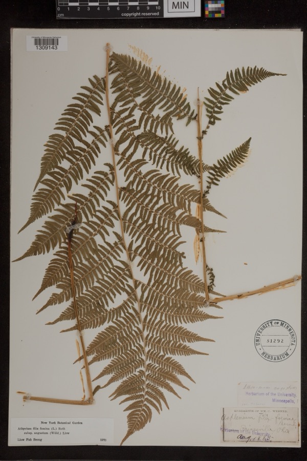
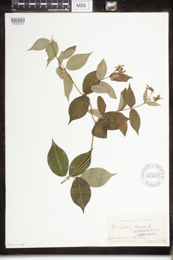
evidence. Museums hold 1,486 specimens
collected within 10 miles of Gray-Coulton House between 1864 and
1975: 1,255 Animalia, 150 Plantae, 71 Fungi, 6 Protozoa, 3 Unrecorded, 1 Chromista. 12 distinct Species records are shown.
Collected by A. Doolittle, A. F. Clewell, A. Woolman and others. Each is a
physical object with a catalogue
number, and each entry opens the museum's record. This is what was
collected and kept, not a survey of what lives here - nothing can be
concluded from a species being absent.
Regional context, not property-specific
evidence. The federal mineral resources record lists
2 workings within 5 miles of Gray-Coulton House: 2 producers.
All of them still produce. What was taken out: Silica, Sand and Gravel, Construction. Distance is straight-line from the
map coordinates, so a quarry counted here may appear on a neighbouring
settlement's page as well.
Regional context, not property-specific
evidence. The National Weather Service names
Mentor, the town this property stands in, in 46 storm reports between 1996 and 2026: 24 thunderstorm wind, 13 hail, 4 flash flood, 2 waterspout.
The reports record 2 injuries. Each account below is quoted exactly as the forecast office
filed it, from the NOAA Storm Events Database, and each date
opens the federal record of that event.
Penny to hen egg sized hail was observed for several minutes in Mentor. Much of the hail was golf ball sized or larger. This resulted in many vehicles being damaged.
A weak tornado moved inland from Lake Erie and was on the ground in Mentor for a little less than one mile. Many trees were knocked down with a few homes sustaining minor damage.
A portion of Interstate 90, a main throughway, was closed between State Route 306 and State Route 615 due to flooding. Several disabled semi trucks that stalled in high water.
Thunderstorm winds tore some siding off of a house near the intersection of Center Street and Mentor Avenue in Mentor. Some tree limbs were also down in the area.
No historic map-sheet match is published
for this property yet. That does not mean no map exists. This record needs
a coordinate-quality review before it can be joined to a sheet boundary.
Browse the county's mapped places while that work is
pending.
From the nomination file
2,991 words on record
When this property was proposed for the
National Register, someone wrote the case for it: what the building is,
and why it matters. That document is a federal record in the public domain.
It is quoted below word for word, never summarised. The text was read off the scanned case file by machine, so the
occasional stray character is the recogniser's and the 1970s
typewriter's.
Description of the property
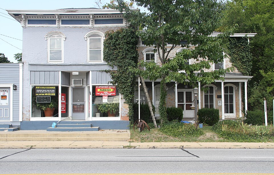
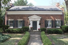
The stufcture was built as a residence but soon beçame a store. The facade of the projecting block now has a new store front, but once had a projecting wooden porch covering glass On the first floor there is a central doorway with two double-hung, floor-to-ceiling windows to each side. All of these have molded, semi-circular léntils. On the second CONDITION EXCELLENT UNALTERED DETERIORATED XALTERED FAIR was shuttered. DESCRIPTION rectangle inside the rectangular outline of the stone itself.The perimeter is fluted The most distinctive feature of the remaining elevations is a bay window on the right side. roof consists of a deep fascia with brackets which support the roof overhang.Modillions two separate additions in the rear.
appear at the joint of roof and fascia.Recessed panels appear in the fascia between the display windows which extended (and still extend in a modified fashion) across the facade. CHECK ONE radially. The stonework projects past the brickwork and is chamferred at the joint. floor there are also three double-hung windows. It extends from floor to ceiling and has a double-hung sash.It also has dentils and once of the leg of the "L still shows its projecting wooden porch with beveled supporting columns The second floor is divided into living quarters..
Above are two windows with semi-circular molded arches.The cornice belo the pyramidal to the right is the old pony shed; and farther to the right is the old privy.New additions - UNEXPOSED X-GOOD Inside the front of the projecting block is a large room which was the main store area.
building located at 8607 Mentor Avenue, Mentor. Seven years later, William DeLong, then Mayor of Mentor, bought the house and converted a presidency of the United States, he was often photographed standing in front of the store. 1867 1500-1599 style.
COMMERCE INVENTION PERIOD LAW RELIGION BUILDER/ARCHITECT ARCHEOLOGY-HISTORIC SIGNIFICANCE TRANSPORTATION ART THEATER POLITICS/GOVERNMENT CONSERVATION Local History MILITARY PHILOSOPHY AGRICULTURE PREHISTORIC INDUSTRY EXPLORATION/SETTLEMENT LITERATURE Martin Gray 1900- _COMMUNICATIONS his residence.The addition to the present structure is now the headquarters of the EDUCATION This structure and its outbuildings represents Mentor's finest example of the Italianate X-ARCHITECTURE buildings retained his name even though it has changed hands several more times. Mentor Chamber of Commerce.
His accounting firm maintains offices on the first floor and the home also serves as building was sold to Mr.Whitcomb who opened it as a dry goods and grocery store.The -1400-1499 X-1800-1899 -1600-1699 -1700-1799 -ECONOMICS - ENGINEERING On April 30,1867,Martin Gray purchased a parcel of 1and and errected the stately gray -MUSIC COMMUNITY PLANNING - In 1896, Eugene Case, who was serving as postmaster of West Mentor, bought the building and made the necessary chages for its use as a general store. In the early 1900's, the The present owner, Robert J. Coulton, has divided the house into small apartments. ARCHEOLOGY-PREHISTORIC
Quoted from the National Register nomination
for reference 75001452, 24 pages, held by the National Archives in Record
Group 79. See the
catalogue record.
Listed places nearby
6 within 8 miles
Other National Register properties close
enough to walk or drive between, ordered by distance from this one. Both
positions come from the same geocoding pass that matched these properties
to their map sheets.
Listing record. National Park Service National Register of Historic Places, listed-properties dataset, current to 2026-05-22.
Map join. Address geocoded through the United States Census geocoder, then tested against the published boundary of every sheet in the USGS Historical Topographic Map Collection.
How this page is made. Listing fields come from federal records; map-sheet coverage is a labelled coordinate-to-boundary calculation, not a source-field claim.
Wildfire. Short, Karen C. 2022. Spatial wildfire occurrence data for the United States, 1992-2020 [FPA_FOD_20221014]. 6th Edition. Fort Collins, CO: Forest Service Research Data Archive. https://doi.org/10.2737/RDS-2013-0009.6 Collected with United States Government funding and usable without additional permissions or fees.
Specimens. Global Biodiversity Information Facility (GBIF), https://www.gbif.org/. Only records licensed CC0 or CC BY are used. Records licensed CC BY-NC are excluded because this site carries advertising. Images are checked individually and any whose licence is non-commercial, no-derivatives or unreadable is refused.
Mines and quarries. USGS Mineral Resources Data System (MRDS) https://mrdata.usgs.gov/mrds/ A work of the United States government, no copyright under 17 U.S.C. 105.
Storms. NOAA National Centers for Environmental Information, Storm Events Database https://www.ncei.noaa.gov/stormevents/ A work of the United States government, no copyright under 17 U.S.C. 105. Narratives are quoted verbatim from the National Weather Service report and are not edited or summarised.
 Block
Block