Listed on the National Register of Historic Places in
1975. A historic map-sheet match is not published yet. The record needs a coordinate-quality review before it can be joined to a sheet boundary.
From the record
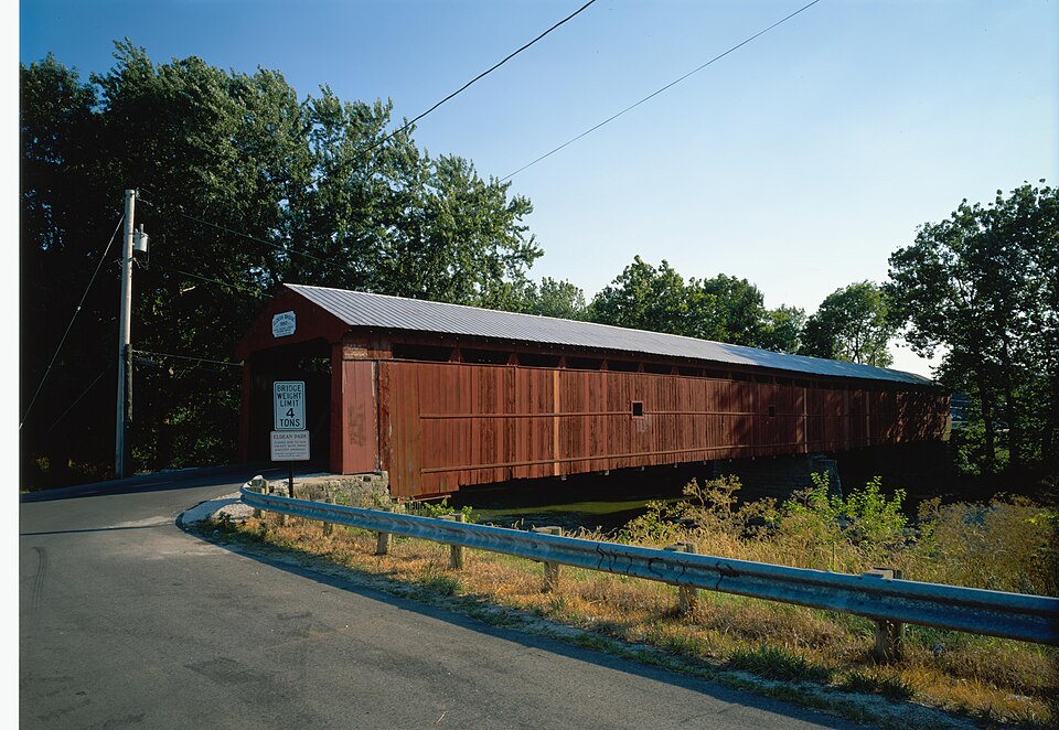
“The Eldean Covered Bridge is a historic covered bridge spanning the Great Miami River in Miami County, Ohio north of Troy. Built in 1860, it is one of the nation's finest surviving examples of a Long truss, patented in 1830 by engineer Stephen H.”
Wikipedia article Eldean Covered Bridge, CC BY-SA 4.0.
one of 36 National Register listings in Miami County · listed in 1975 · category: Structure.
National Register reference number.75001492- the number the National Park Service assigned this property when it was listed, and the key its nomination file is catalogued under at the National Archives.
What happened here
An account from the chapter on Staunton township, The inset identifies its exact
source book and publication year.
During these times, the early settlers of Lost Creek Township were not wholly without fear. The outbreak of the seoond war with Great Britain was calculated to seriously interfere with their repose. The Indians were not far distant, and more than once, the pioneer and his little family cowered, as it were, in the shadows of the tomahawk.
The chapter on Staunton Township in The History of Miami County, Ohio, published 1880 names Troy. This is what it says, exactly as the scans read.
Mrs. James Dye (now living in Troy): u I am a daughter of John M. and Elizabeth Dye. The Cumminses, Morpheys and Metcalfs were among the early settlers of Staunton Township. I was bom in 1800, and married in 1818, and settled near the Elizabeth Township line, on land now owned by Mack Hart. The Indians often came to our cabin, but never disturbed anything. We made our own sugary and would often take sugar-water, yeast, sassafras and spices and make beer, which was a favorite beverage of the Indians. At one time, my father-in-law, Stephen Dye, obtained a half-barrel of cider from a num living below Dayton, which was, perhaps, the first ever brought to this settlement, and possibly, to the county. 1 remember once, while my husband, myself and children were returning from a virit to his father's, we were attacked by wolves. We were on horseback, and the wolves were very close to their heels, and my husband barely succeeded in getting into a place of security. When he returned with a gun, they had given up the chase and skulked away. I can remember well when calico was $1 a yard." in early times, the squirrels were very troublesome here, even destroying the C01n^r0P ' 8°m,e^me8 shocks of com would seem almost alive with them, and well-beaten paths would be made through the fields, and from the shocks to the bordering forest, to which the provident little animals would carry the ears of corn ^ r? a.man. make a living and pay taxes, he was consi dered , nate* Cmcmnati was the nearest market, to which wheat and pork ,were roads through the woods. The nearest mil was
Still lower dowt\ is the Troy and Urbana pike, running from Troy in a broken line northeastwardly across the township. Again, on the south, extends the Troy and Casstown pike, intersecting the township transversely near the center, and passing through the town of Staunton. Still lower down passes the Troy and Springfield Pike, running through the lands of J. and J. H. Knoop and the Enyeart's. Passing from the lower end, on the east side comes the Troy and Dayton Pike, running nearly north, bearing west to intersect the former pike on the lands of Abner Enyeart, and pass over the river on the bridge near Benjamin Enyeart s.
Regional context, not property-specific
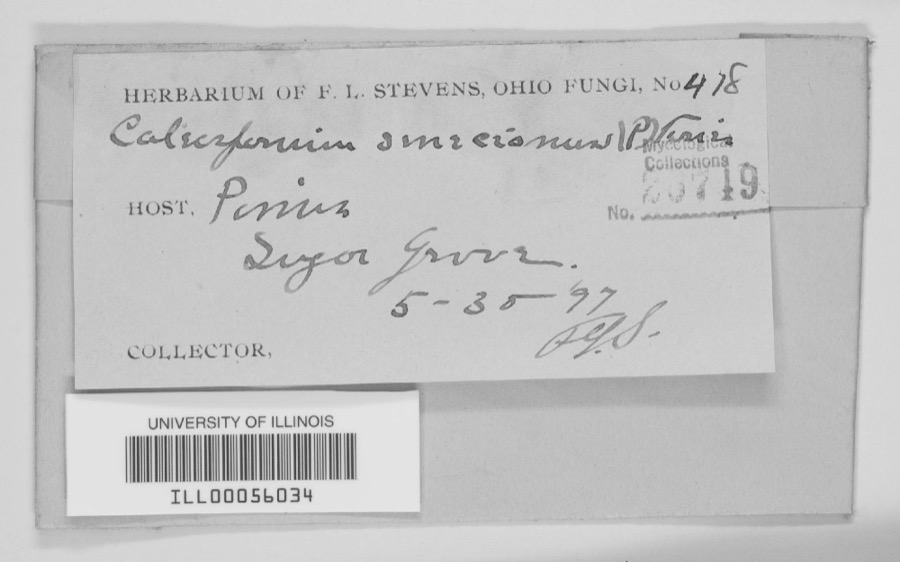
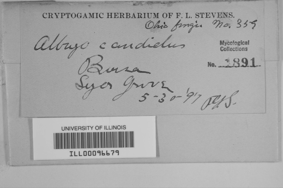
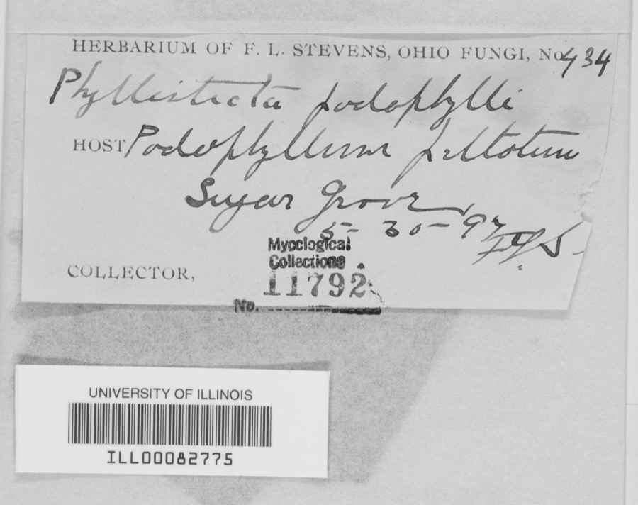
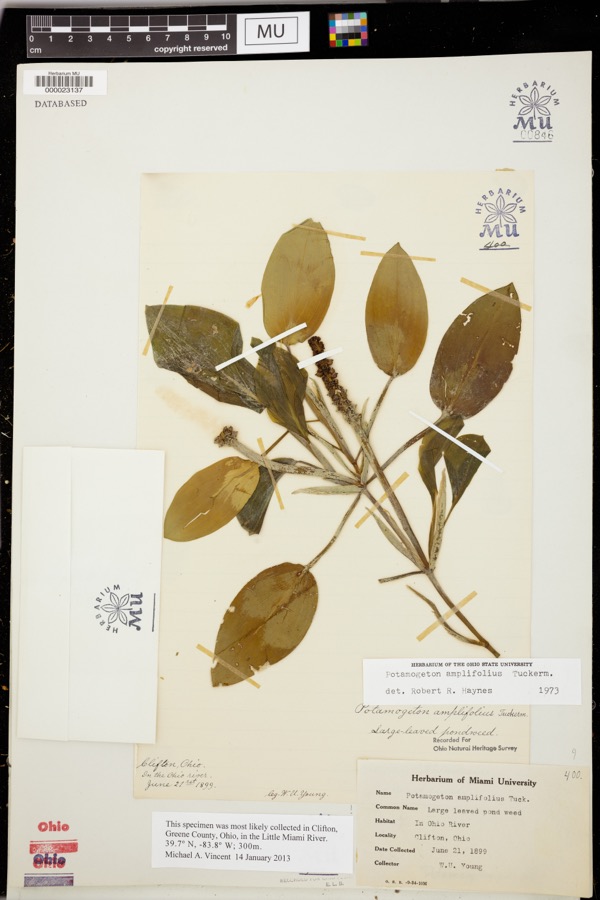
evidence. Museums hold 404 specimens
collected within 10 miles of Eldean Covered Bridge between 1835 and
1975: 369 Animalia, 17 Fungi, 16 Plantae, 1 Unrecorded, 1 Chromista. 12 distinct Species records are shown.
Collected by A V DEL, A. Gaufin, A. R. Gaufin and others. Each is a
physical object with a catalogue
number, and each entry opens the museum's record. This is what was
collected and kept, not a survey of what lives here - nothing can be
concluded from a species being absent.
Regional context, not property-specific
evidence. The federal mineral resources record lists
7 workings within 5 miles of Eldean Covered Bridge: 3 past producers, 3 producers, 1 plant.
4 still produce. What was taken out: Sand and Gravel, Construction, Clay, Limestone, General, Stone, Crushed/Broken. Distance is straight-line from the
map coordinates, so a quarry counted here may appear on a neighbouring
settlement's page as well.
Regional context, not property-specific
evidence. The National Weather Service names
Troy, the town this property stands in, in 62 storm reports between 1994 and 2025: 38 thunderstorm wind, 8 hail, 8 flood, 2 lightning.
The reports record 4 injuries. Each account below is quoted exactly as the forecast office
filed it, from the NOAA Storm Events Database, and each date
opens the federal record of that event.
A man and his two sons were standing underneath a tree when it was struck by lightning at the Troy Strawberry Festival. The three individuals suffered non life-threatening injuries.
The tornado touched down initially in the southwest portions of the city of Troy and moved northeast through the center of the city. It then crossed the Great Miami River before it weakened and lifted in the far northeast portions of the city.||Much of the damage was confined to trees and roofs, both residential and commercial, as the tornado moved through the city. To the west of the Great Miami River, damage was more intermittent and weak in comparison to areas east of the Great Miami River, where more concentrated and significant tree and roof damage was noted. In particular, areas near Troy High School and along and east of North Market Street saw the most concentrated and higher end structural damage to roofing material. This included the far eastern portions of the downtown area which saw several businesses lose all or portions of their roofs.||Damage was tornadic in nature, especially on the east side of the Great Miami River, where convergent tree damage was easily noted before the tornado rapidly weakened as it left the city. Damage along the path was consistent with wind speeds ranging from 65 to 80 mph, again with the highest wind speeds estimated on the east side of the Great Miami River.
The initial damage occurred near the intersection of Cheshire Road and Dorset Road, where several large tree limbs were downed. Damage became a little more concentrated near the intersection of Armand Drive and McKaig Avenue, where several large tree limbs and a few trees were downed. Tree damage also occurred at an apartment complex along Red Cedar Drive.||The most heavily concentrated area of damage occurred near Drury Lane and Ridge Avenue. Numerous very large, healthy trees were downed, with one trunk snapped at its base, and several other very large branches snapped not far off the ground. A couple of homes also had some minor roof damage. On West Simpson Street, just to|the east, a car was heavily damaged by a falling tree limb.||The damage path became narrower near Terrace Place, Market Street, and West Street. A bank sign was damaged and several more large trees and tree limbs were downed. In the neighborhood south of West Street, a few more homes had minor roof damage, with a fairly consistent area of tree damage observed as far southeast as Walker Street and Dakota Street.||Tree damage was also reported in other locations in Troy, such as Stanfield Road, West Ross Street, and Dakota Street. The rest of this damage is believed to have been caused by straight-line winds with speeds of 60 to 70 MPH.
Numerous trees and powerlines were downed. A building sustained roof damage at the Miami County Fairgrounds. A tree also fell on a vehicle, causing minor damage.
More than 3 inches of rain fell in only a few hours causing creeks and streams to rise out of their banks. Many roads and neighborhoods were flooded and a few buildings and homes were flooded.
No historic map-sheet match is published
for this property yet. That does not mean no map exists. This record needs
a coordinate-quality review before it can be joined to a sheet boundary.
Browse the county's mapped places while that work is
pending.
From the nomination file
1,901 words on record
When this property was proposed for the
National Register, someone wrote the case for it: what the building is,
and why it matters. That document is a federal record in the public domain.
It is quoted below word for word, never summarised. The text was read off the scanned case file by machine, so the
occasional stray character is the recogniser's and the 1970s
typewriter's.
Description of the property
cord-Stauaton Townships, Miami County, Ohio. The siding 1s vertical, The Eldean Bridge is built on the Long truss plan patented in 1830 by The outward appearance of the Eldean Bridge has changed little over the of each span ia 111' 6", the portal to portal length 1a 234' 10'. The Moved span wooden truss covered bridge spanning the Great Miami River in Con- Excellent white pino except for the floor.This flooring is unusual in that it is first panel truss.The Long truss had a brief popularity which was These portals are painted white.The siding was painted red in 1967. PERIOD (Check One or More as Appropriate) - Pre-Columbianf - 20th Century - Prehistoric - Religion/Phi- - Science - Social/Human- - - Literature - Military 7 Theater - Transportation STATEMENT OF
Statement of significance
later, making the total cost of the bridge $4,044.68. to a newspaper article on the Eldean Bridgo, the white pine used in its mile from the bridge sito. In 1963, Miami County by-passed the Eldean Bridge, intending to preserve Commerce Architecture Conservation Landscape Communications REGISTER losophy Aboriginal NATIONAL itarian Invention Agriculture SIGNIFICANCE Sculpture Political Music Education Industry Civil War era engineering skills. construction undoubtedly came from Michigan via the canal boats which Urban Planning Engineering Eldean Bridge is the second longest covered bridge in Ohio.According only four covered bridges still spanning the Great Miami River, tho adjacent to the bridge making it readily accessible to pedestrian traffic.
and abutments and $2,632.00 for the superstructure and another $75.00 Other (Specify) stone quarry near Piqua.They received $l,337.68 for building the pier SEP 3 0 1974 built in the summer of l86o by James and William Hamilton who had a SPECIFIC DATE(S) (If Applicable and Known) 1860 AREAS OF SIGNIFICANCE (Check One or More as Appropriate) The Eldean Bridge is the last covered bridge in Miami County. It was As well as being the last covered bridge in Miami County and one of Art RECEIVED County Atlases show the Allen and Wheelers Mills near tho bridge site. it as an historic site.There isa parking area and a picnic shelter rare here in Ohio.This old bridge is also an outstanding examplo of The Eldean Bridge is a fine oxample of tho Long truss which is now rather 10.
Quoted from the National Register nomination
for reference 75001492, 12 pages, held by the National Archives in Record
Group 79. See the
catalogue record.
Listed places nearby
6 within 8 miles
Other National Register properties close
enough to walk or drive between, ordered by distance from this one. Both
positions come from the same geocoding pass that matched these properties
to their map sheets.
Listing record. National Park Service National Register of Historic Places, listed-properties dataset, current to 2026-05-22.
Map join. Address geocoded through the United States Census geocoder, then tested against the published boundary of every sheet in the USGS Historical Topographic Map Collection.
How this page is made. Listing fields come from federal records; map-sheet coverage is a labelled coordinate-to-boundary calculation, not a source-field claim.
Specimens. Global Biodiversity Information Facility (GBIF), https://www.gbif.org/. Only records licensed CC0 or CC BY are used. Records licensed CC BY-NC are excluded because this site carries advertising. Images are checked individually and any whose licence is non-commercial, no-derivatives or unreadable is refused.
Mines and quarries. USGS Mineral Resources Data System (MRDS) https://mrdata.usgs.gov/mrds/ A work of the United States government, no copyright under 17 U.S.C. 105.
Storms. NOAA National Centers for Environmental Information, Storm Events Database https://www.ncei.noaa.gov/stormevents/ A work of the United States government, no copyright under 17 U.S.C. 105. Narratives are quoted verbatim from the National Weather Service report and are not edited or summarised.
 Block
Block