BlockBefore
Decorative drawing: a nineteenth-century public building. Not a photograph of this place.

Twin Arch Stone Culvert

Listed on the National Register of Historic Places in 1978. A historic map-sheet match is not published yet. The record needs a coordinate-quality review before it can be joined to a sheet boundary.

From the record

one of 36 National Register listings in Miami County · listed in 1978 · category: Structure.

Sources: the case file at the National Archives · the National Register database, National Park Service

The listing

  • What is counted as historic. The nomination lists 1 structure as contributing to the listing.
  • Address. N of Troy at SR 25A, Troy, 45373
  • When was it listed? 1978-07-17
  • Category. structure
  • Township. Concord township
  • National Register reference number. 78002142 - the number the National Park Service assigned this property when it was listed, and the key its nomination file is catalogued under at the National Archives.

The ground it stands on

64,480 words

The chapter on Concord Township in The History of Miami County, Ohio, published 1880 names Troy. This is what it says, exactly as the scans read.

Among the early settlers, we may mention Aaron Tullis, who came from Kentucky by way of Dayton, in a wagon, with a family of boys, arriving here in 1805 ; William Barbee, who came about 1804 ; Reuben Shackelford, Alexander Telford. In 1806, John Peck, with eight children, Jacob, John, Joseph, Isaac, and four daughters, came from Kentucky and settled on Boone's place, one and a nau miles from Troy. Mr. Peck came in the winter, selected his land and bought loU acres/ with one acre cleared, for $100. It had a little log-cabin on it, one room 16x18. His stock having been brought from Kentucky, nearly all died the second year, losing eleven horses, besides sheep, hogs and cattle, only leaving him one mare, two or three cows and a few sheep. His land was of the best in the country, having four fine springs and good soil.

Passage source: The History of Miami County, Ohio, published 1880.

William Gahagan entered the land Troy was laid out on. He was one of Gen. Wayne's soldiers, and was so proud of it, and referred to it so often, that finally he was called Gen. Wayne. He had three sons and daughter.

Passage source: The History of Miami County, Ohio, published 1880.

Machine-read from a century-old scan, so expect the errors a machine makes: misspelled names, dropped words, stray characters.

Read the whole chapter on Concord Township - 64,480 words on its settlement, mills, schools and churches.

Specimens collected near this property

12 of 404 shown

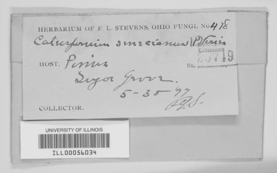
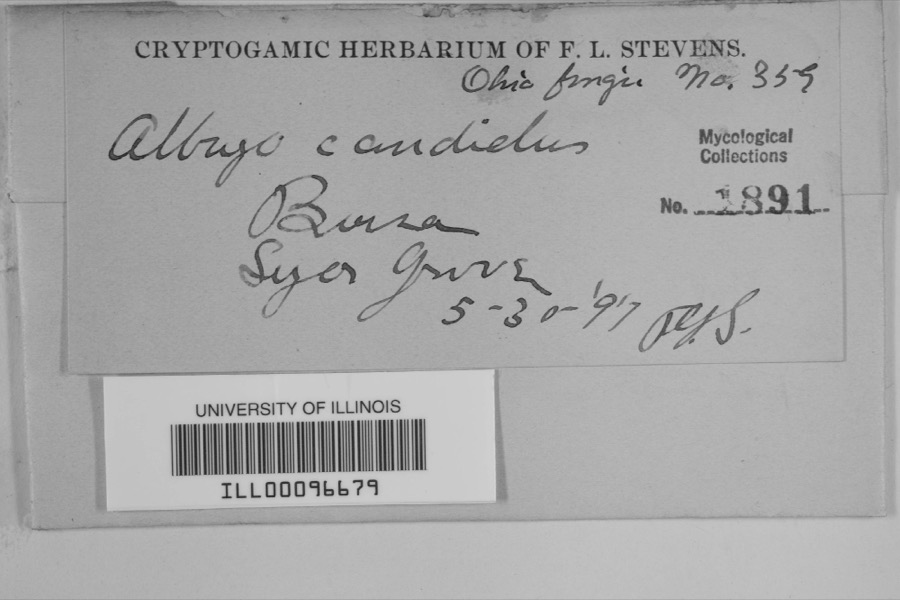
Regional context, not property-specific evidence. Museums hold 404 specimens collected within 10 miles of Twin Arch Stone Culvert between 1835 and 1975: 369 Animalia, 17 Fungi, 16 Plantae, 1 Unrecorded, 1 Chromista. 12 distinct Species records are shown. Collected by A V DEL, A. Gaufin, A. R. Gaufin and others. Each is a physical object with a catalogue number, and each entry opens the museum's record. This is what was collected and kept, not a survey of what lives here - nothing can be concluded from a species being absent.

Image SpeciesYear Collected by Where, as recorded
Specimen of Quercus macrocarpa Michx.Quercus macrocarpa Michx.1835Frank
Specimen of unnamed1897F. L. StevensSugar Grove.
Specimen of Albugo candida (Pers. ex J.F.Gmel.) RousselAlbugo candida (Pers. ex J.F.Gmel.) Roussel1897F.L. StevensSugar Grove
A photograph of the species Carex albursina, not of this specimenCarex albursina E.Sheld.1835Collector unknown
A photograph of the species Carex emmonsii, not of this specimenCarex emmonsii var. muhlenbergii (A.Gray ex Torrey) Rettig1835Collector unspecified
A photograph of the species Gentianella quinquefolia, not of this specimenGentianella quinquefolia subsp. occidentalis (A.Gray) J.M.Gillett1835Joseph C. FrankOhio, in ditione civitatis Miami
A photograph of the species Cercosporina apii, not of this specimenCercosporina apii (Fresen.) Miura1896Skinner C. W.Troy
Marssonina panattoniana (Berl.) Magnus1896Skinner C. W.Troy
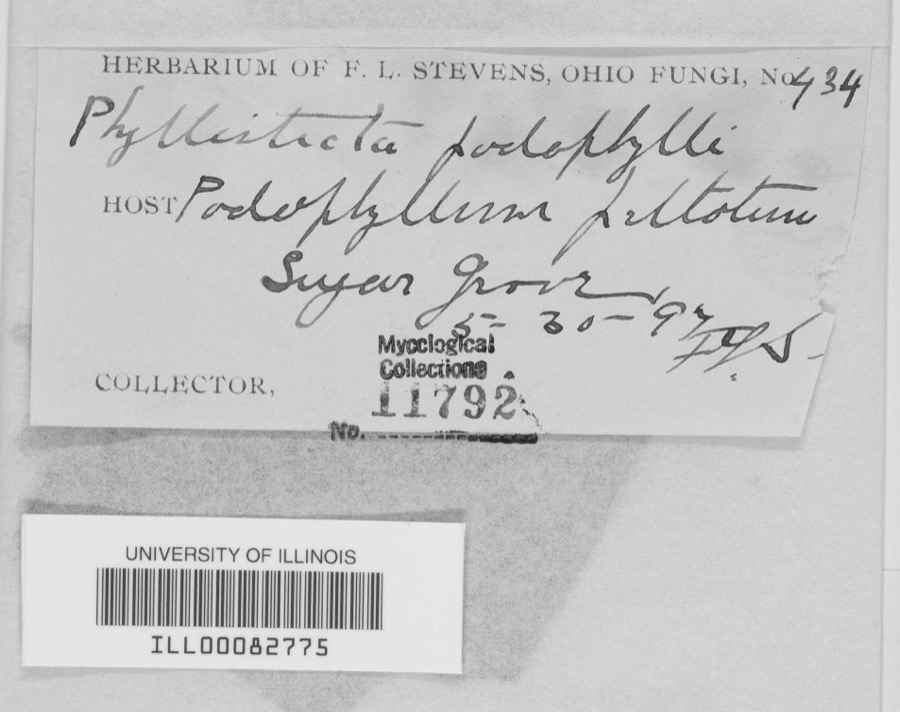
Specimen of Phyllosticta podophylli (M.A.Curtis) G.WinterPhyllosticta podophylli (M.A.Curtis) G.Winter1897F.L. Stevens
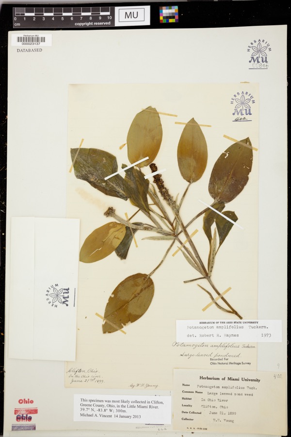
Specimen of Potamogeton amplifolius Tuck.Potamogeton amplifolius Tuck.1899Young, WU
A photograph of the species Daedalea confragosa, not of this specimenDaedalea confragosa (Bolton) Pers.1906Fischer G. C.Troy
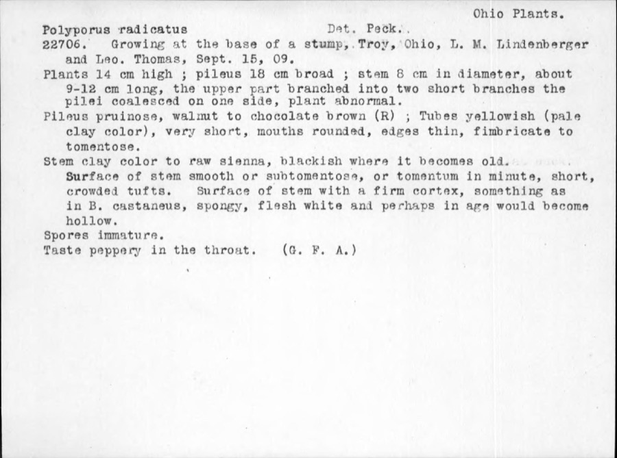
Specimen of Polyporus radicatus Schwein.Polyporus radicatus Schwein.1909ThomasTroy

All 404 specimens within 10 miles, at the Global Biodiversity Information Facility.

Mines and quarries near this property

7 within 5 miles

Regional context, not property-specific evidence. The federal mineral resources record lists 7 workings within 5 miles of Twin Arch Stone Culvert: 3 past producers, 3 producers, 1 plant. 4 still produce. What was taken out: Sand and Gravel, Construction, Clay, Limestone, General, Stone, Crushed/Broken. Distance is straight-line from the map coordinates, so a quarry counted here may appear on a neighbouring settlement's page as well.

Where SiteCommodity StatusRecorded
Hanover PitClayProducer
Piqua MineralsStone, Crushed/BrokenProducer
Piqua QuarriesLimestone, GeneralPast ProducerSedimentary
Eldean PitSand and Gravel, ConstructionPast ProducerSedimentary
Eldean PitSand and Gravel, ConstructionProducer
Troy PitsSand and Gravel, ConstructionPast ProducerSedimentary
Troy Plant & PitSand and Gravel, ConstructionPlant

Every working recorded in Miami County

Storms near this property

60 of 62 shown

Regional context, not property-specific evidence. The National Weather Service names Troy, the town this property stands in, in 62 storm reports between 1994 and 2025: 38 thunderstorm wind, 8 hail, 8 flood, 2 lightning. The reports record 4 injuries. Each account below is quoted exactly as the forecast office filed it, from the NOAA Storm Events Database, and each date opens the federal record of that event.

WhenEvent Place namedHarm What the report says
June 2007LightningTroy3 hurtA man and his two sons were standing underneath a tree when it was struck by lightning at the Troy Strawberry Festival. The three individuals suffered non life-threatening injuries.
June 1996LightningTroy1 hurtno account filed
January 2020Tornado (EF0)Troy$500,000The tornado touched down initially in the southwest portions of the city of Troy and moved northeast through the center of the city. It then crossed the Great Miami River before it weakened and lifted in the far northeast portions of the city.||Much of the damage was confined to trees and roofs, both residential and commercial, as the tornado moved through the city. To the west of the Great Miami River, damage was more intermittent and weak in comparison to areas east of the Great Miami River, where more concentrated and significant tree and roof damage was noted. In particular, areas near Troy High School and along and east of North Market Street saw the most concentrated and higher end structural damage to roofing material. This included the far eastern portions of the downtown area which saw several businesses lose all or portions of their roofs.||Damage was tornadic in nature, especially on the east side of the Great Miami River, where convergent tree damage was easily noted before the tornado rapidly weakened as it left the city. Damage along the path was consistent with wind speeds ranging from 65 to 80 mph, again with the highest wind speeds estimated on the east side of the Great Miami River.
July 2022Tornado (EF1)Troy$100,000The initial damage occurred near the intersection of Cheshire Road and Dorset Road, where several large tree limbs were downed. Damage became a little more concentrated near the intersection of Armand Drive and McKaig Avenue, where several large tree limbs and a few trees were downed. Tree damage also occurred at an apartment complex along Red Cedar Drive.||The most heavily concentrated area of damage occurred near Drury Lane and Ridge Avenue. Numerous very large, healthy trees were downed, with one trunk snapped at its base, and several other very large branches snapped not far off the ground. A couple of homes also had some minor roof damage. On West Simpson Street, just to|the east, a car was heavily damaged by a falling tree limb.||The damage path became narrower near Terrace Place, Market Street, and West Street. A bank sign was damaged and several more large trees and tree limbs were downed. In the neighborhood south of West Street, a few more homes had minor roof damage, with a fairly consistent area of tree damage observed as far southeast as Walker Street and Dakota Street.||Tree damage was also reported in other locations in Troy, such as Stanfield Road, West Ross Street, and Dakota Street. The rest of this damage is believed to have been caused by straight-line winds with speeds of 60 to 70 MPH.
July 1994Thunderstorm WindTroy$50,000Trees were downed, some on cars and power lines.
December 2013FloodTroy$20,000Ten to twelve home evacuations were required near the Great Miami River. Two water rescues occurred from people driving into the flood waters.
November 2020Thunderstorm WindTroy$15,000Numerous trees were downed throughout the county.
July 2006Thunderstorm WindTroy$15,000Numerous trees and powerlines were downed. A building sustained roof damage at the Miami County Fairgrounds. A tree also fell on a vehicle, causing minor damage.
July 2000Thunderstorm WindTroy$10,000Numerous trees and power lines were knocked down, some of them across roads.
June 2008HailTroy$8,000no account filed
May 2024Thunderstorm WindTroy$5,000A tree fell onto a house on South Mulberry Street.
July 2024Thunderstorm WindTroy$5,000Several large trees were downed along Mckaig Avenue just south of Hobart Nature Preserve.
July 2013Thunderstorm WindTroy$5,000Several trees and branches were downed in Troy due to thunderstorm winds.
February 2011FloodTroy$5,000Several roads were closed due to heavy rain and snow melt.
May 2001Thunderstorm WindTroy$5,000Two permanent signs blown down.
April 1994Thunderstorm WindTroy$5,000Trees downed.
July 1996Thunderstorm WindTroy$5,000no account filed
December 2006Thunderstorm WindTroy$4,000A tree was knocked down on Swails Road, and a telephone pole was leaning on Ross Road.
April 2025Thunderstorm WindTroy$3,000A few trees were downed at Troy Aquatic Park.
July 2024Thunderstorm WindTroy$3,000A few trees were downed.
August 2022Thunderstorm WindTroy$3,000A power pole was snapped near the intersection of Crestview and Cloverdale Drives.
July 2012Thunderstorm WindTroy$3,000Trees were uprooted and large branches were downed due to damaging thunderstorm winds.
January 2008Thunderstorm WindTroy$3,000Several trees were knocked down.
May 2008Thunderstorm WindTroy$3,000A couple of large tree limbs were knocked down.
June 2008Thunderstorm WindTroy$3,000Large tree limbs were downed across the northeast side of Troy. An amateur radio operator in Piqua measured a 54 mph gust four minutes earlier.
March 2007FloodTroy$3,000Several low-lying areas were flooded in various parts of the county.
August 2006Thunderstorm WindTroy$3,000A few large tree limbs were downed.
August 2003Thunderstorm WindTroy$3,000Trees were knocked down.
July 2003Thunderstorm WindTroy$3,000Trees and powerlines were downed.
April 2003Thunderstorm WindTroy$3,000Trees and powerlines were knocked down.
July 2002Thunderstorm WindTroy$3,000Several trees were blown down.
May 1998Thunderstorm WindTroy$3,000Numerous trees downed.
July 1997Thunderstorm WindTroy$3,000Several trees downed.
July 1995Thunderstorm WindTroy$3,000Trees and power lines were downed.
June 1996Thunderstorm WindTroy$3,000no account filed
April 2025Thunderstorm WindTroy$2,000A six foot tall fence was blown into the road.
July 2009Flash FloodTroy$2,000Numerous roads were inundated with high water.
August 2006HailTroy$2,000Tree limbs were also knocked down.
May 2004Thunderstorm WindTroy$2,000A few large limbs were knocked down.
July 2003Thunderstorm WindTroy$2,000Large limbs were knocked down.
July 2003Thunderstorm WindTroy$2,000Several large limbs were knocked downed.
April 2025Thunderstorm WindTroy$1,000A large evergreen was downed in Troy Park near Adams Street.
May 2020Thunderstorm WindTroy$1,000A large tree was downed. Several large branches were also downed in the area.
June 2020Thunderstorm WindTroy$1,000A tree was knocked down.
June 2017Thunderstorm WindTroy$1,000A tree was knocked down on Woodcliff Drive.
April 2011Heavy RainTroy$1,000A couple roads were covered with high water.
September 2020Thunderstorm WindTroy-The wind gust was measured on a personal weather station.
February 2019FloodTroy-Numerous roads were still reported under water across the county.
February 2019FloodTroy-Several roads were closed due to flooding.
November 2017FloodTroy-High water was reported on several Roads across Miami County.
March 2016Thunderstorm WindTroy-Several large limbs were downed at the Troy Country Club.
May 2014Heavy RainTroy-Standing water was reported over many roads in the area.
December 2013FloodTroy-State Route 202 was closed in both directions due to high water caused by earlier heavy rainfall.
July 2012Thunderstorm WindTroy-The spotter estimated the speed of the wind gust.
July 2006FloodTroy-Several roads were flooded and closed.
January 1999Flash FloodTroy-More than 3 inches of rain fell in only a few hours causing creeks and streams to rise out of their banks. Many roads and neighborhoods were flooded and a few buildings and homes were flooded.
June 2020HailTroy-no account filed
March 2011HailTroy-no account filed
April 2006HailTroy-no account filed

Every storm recorded in Miami County

Map coverage status

No historic map-sheet match is published for this property yet. That does not mean no map exists. This record needs a coordinate-quality review before it can be joined to a sheet boundary. Browse the county's mapped places while that work is pending.

From the nomination file

1,772 words on record

When this property was proposed for the National Register, someone wrote the case for it: what the building is, and why it matters. That document is a federal record in the public domain. It is quoted below word for word, never summarised. The text was read off the scanned case file by machine, so the occasional stray character is the recogniser's and the 1970s typewriter's.

Description of the property

limestone voussiors. The culvert, constructed of coarsed limestone, is 96 DATE the western bank of the Great Miami River.Significant lengths of the canal between This segment of the Miami-Erie Canal between Piqua and Troy closely parallels The canal bed and towpath are supported by an earthen embankment that is approximately twelve feet above the bed of the ditch.The bed is 50 feet wide, AREAS OF

Statement of significance

extension was David Bates, who had previously been a principal engineer on the of the extension (between Dayton and Piqua) was David H. Morrison, who later started R. Brownell and Norman Sumner, both from neighboring Darke County. They were to contract, for a John Kleine who was paid for the completion of this section of the At the present, only one other similar canal structure is known to exist in the advanced state of disrepair. The Great Miami River Corridor Committee of purposes, and the Dettmer Hospital, whose grounds adjoin the canal lands, are in- ARCHEOLOGY-HISTORIC ART ECONOMICS RELIGION SIGNIFICANCE PERIOD AGRICULTURE project.

LAW 1400-1499 THEATER CONSERVATION INVENTION EDUCATION SCULPTURE BUILDER/ARCHITECT PHILOSOPHY POLITICS/GOVERNMENT ARCHITECTURE PREHISTORIC MILITARY LITERATURE _COMMUNICATIONS bridges throughout the Midwest.

Erie Canal in New York.One of the junior assistant engineers on this section - EXPLORATION/SETTLEMENT XTRANSPORTATION _SOCIAL/HUMANITARIAN XENGINEERING Miami and Shelby Counties hopes to use the Twin Arch Stone Culvert for recreation the Dayton based Columbia Bridge Works which manufactured and erected metal truss canal in April of 1837.Kleine utilized German immigrants as laborers on the - 1500-1599 The canal system in Ohio had a profound effect on the economic development have completed the work by June of 1836,but continuing outbreaks of Cholera and -1600-1699 -1700-1799 structed in1837 as a part of the extension"of the original Miami Canal which _COMMERCE _COMMUNITY PLANNING SPECIFIC DATES 1837-1913 Samuel Forrer, a Dayton resident who was very significant in Ohio canal history.

ARCHEOLOGY-PREHISTORIC canal system and for its association with important canal engineers. terested in utilizing the culvert for parkland. a very wet spring delayed construction. of the state.Much of this development occurred along the length of the Miami- Apparantly these men defaulted on their Beginning in 1818, Forrer was employed for fifty years as a canal rodman, surveyor,

The whole case file for this property - 1,772 words, 13 pages, reproduced complete.

Quoted from the National Register nomination for reference 78002142, 13 pages, held by the National Archives in Record Group 79. See the catalogue record.

Listed places nearby

6 within 8 miles

Other National Register properties close enough to walk or drive between, ordered by distance from this one. Both positions come from the same geocoding pass that matched these properties to their map sheets.

Photograph PropertyDistance Listed
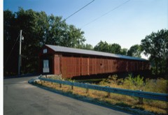
Eldean Covered Bridge0.8 miles1975
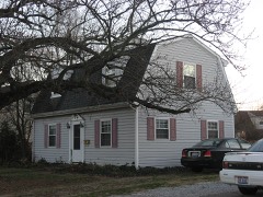
Hobart, William, Vacation House2.3 miles1989
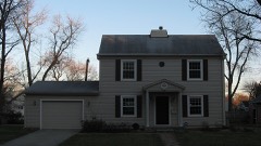
House at 1022 West Main Street3.0 miles1989
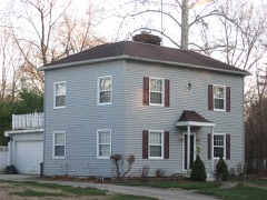
House at 121 South Ridge3.0 miles1989
House at 129 South Ridge3.0 miles1989
House at 145 South Ridge3.1 miles1989

Sources for this property

National Archives recordThe nomination case file for reference 78002142 in Record Group 79.
Miami CountyAll 36 listed properties in this county.

Provenance

  • Listing record. National Park Service National Register of Historic Places, listed-properties dataset, current to 2026-05-22.
  • Map join. Address geocoded through the United States Census geocoder, then tested against the published boundary of every sheet in the USGS Historical Topographic Map Collection.
  • How this page is made. Listing fields come from federal records; map-sheet coverage is a labelled coordinate-to-boundary calculation, not a source-field claim.
  • Specimens. Global Biodiversity Information Facility (GBIF), https://www.gbif.org/. Only records licensed CC0 or CC BY are used. Records licensed CC BY-NC are excluded because this site carries advertising. Images are checked individually and any whose licence is non-commercial, no-derivatives or unreadable is refused.
  • Mines and quarries. USGS Mineral Resources Data System (MRDS) https://mrdata.usgs.gov/mrds/ A work of the United States government, no copyright under 17 U.S.C. 105.
  • Storms. NOAA National Centers for Environmental Information, Storm Events Database https://www.ncei.noaa.gov/stormevents/ A work of the United States government, no copyright under 17 U.S.C. 105. Narratives are quoted verbatim from the National Weather Service report and are not edited or summarised.